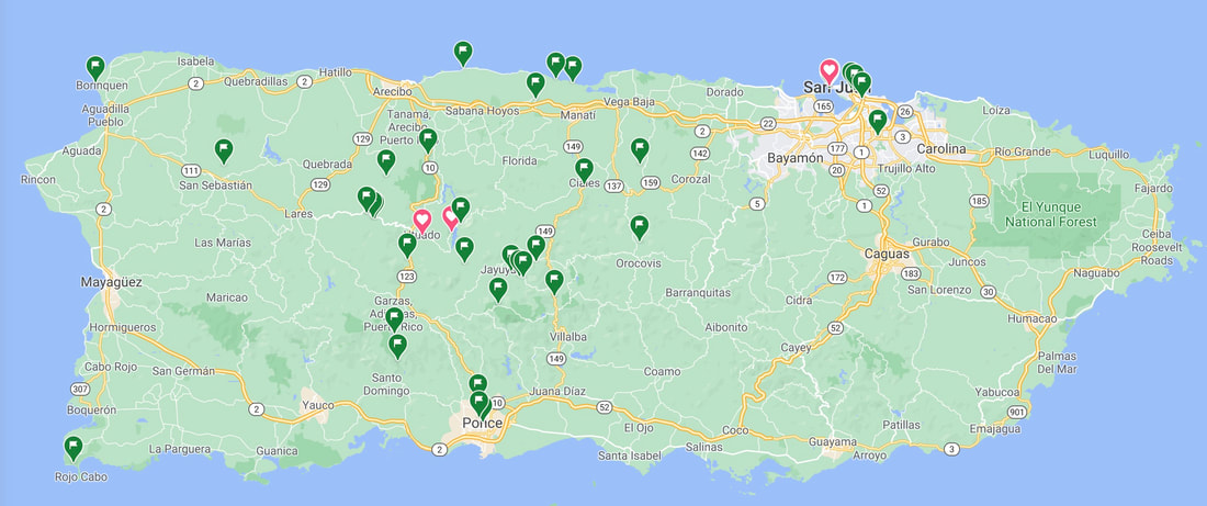
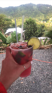
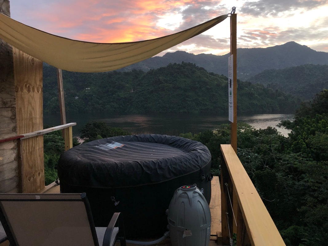
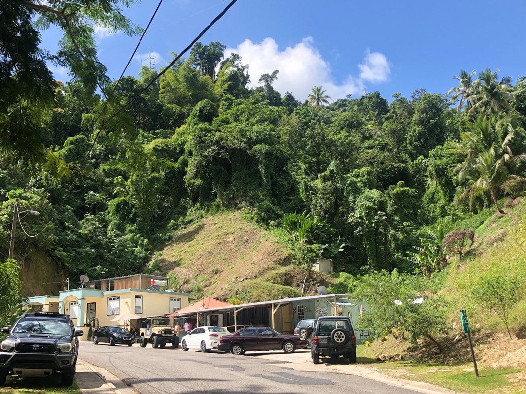
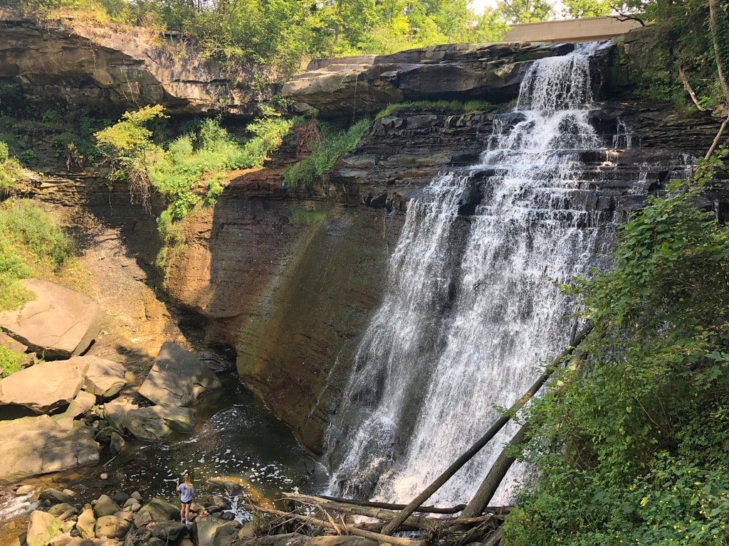
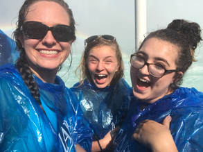
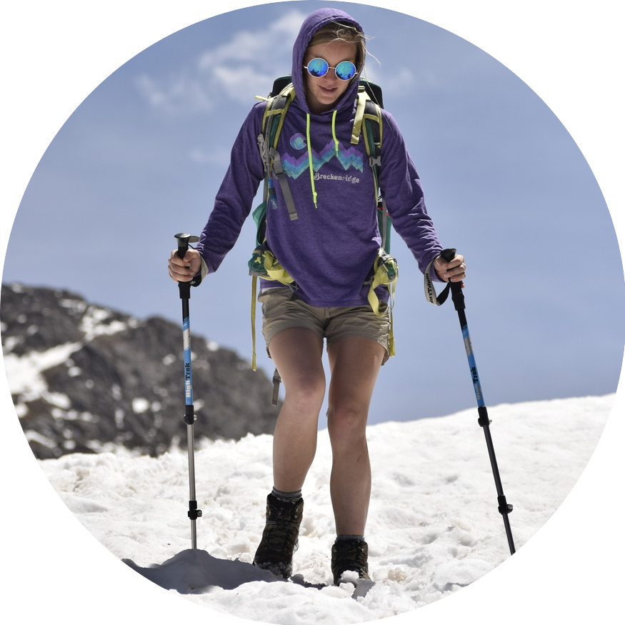
Read more about how we planned this entire trip to Puerto Rico in the more detailed post - Coming Soon!
You can read about all of our Airbnb’s across the island HERE! Plus, if you have never booked with Airbnb use our code to receive a discount: Traveling Tacos Airbnb Code
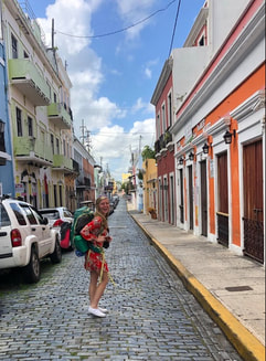
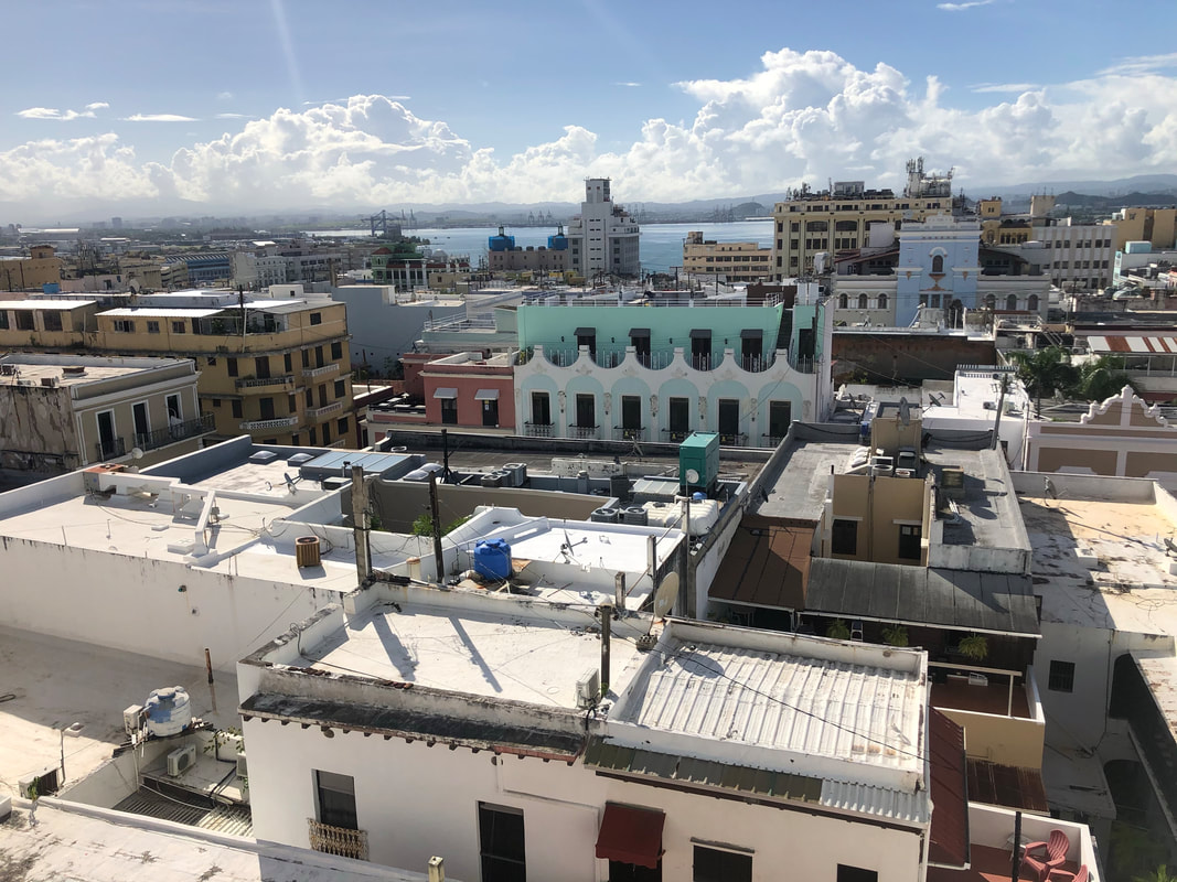
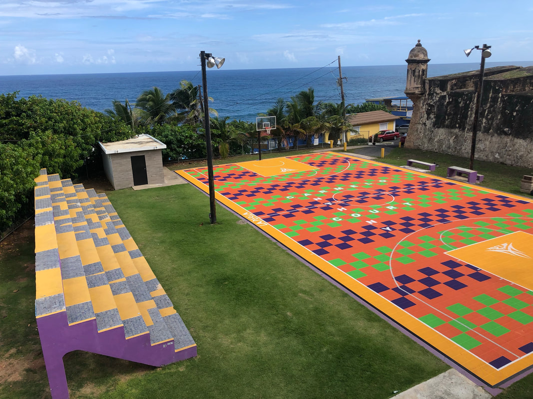
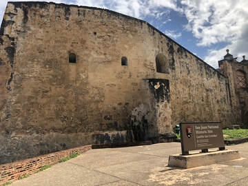
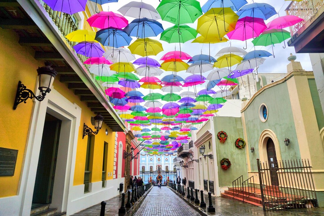
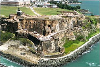
We followed the sidewalk, looked down on the ocean, and walked past the Castillo San Cristobal. Sadly, it was closed, and we were unable to tour it. It was an impressive sight nonetheless.
If you want to read more about what it was like to drive around Puerto Rico, check out the post HERE - and check out our YouTube video below!
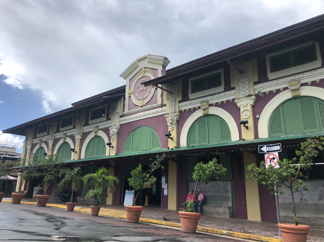
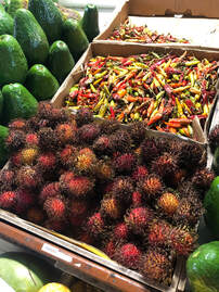
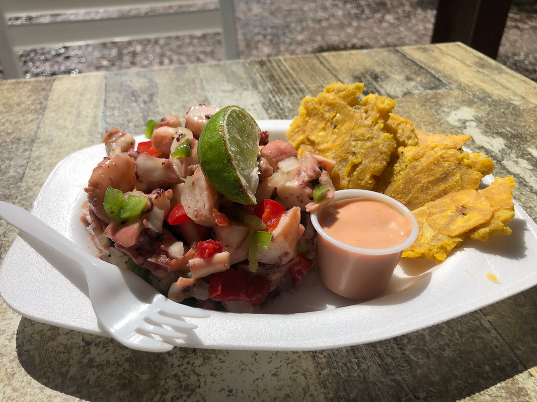
After cleaning our plate, we started the drive to our “home base” for the next few nights in Utuado. Along the way we tried to stop at another market, Plaza del Mercado de Río Piedras Rafael Hernández Marín. Unfortunately, we could not find it! Instead, we kept driving and eventually stopped for some coffee at Valle Verde Cafe.
If you want to read more about all of the meals we ate across the island check out our “List of Great Restaurants across Puerto Rico” blog post HERE!
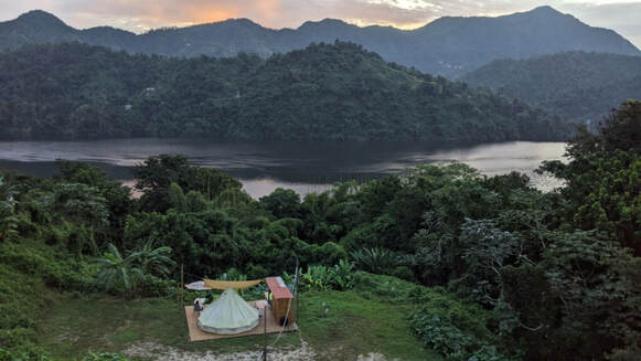
That first night, we gazed up at the stars and looked over our itinerary for the next day. While doing so, we stumbled across some articles on DicoverPuertoRico.com that convinced us to change our plans!
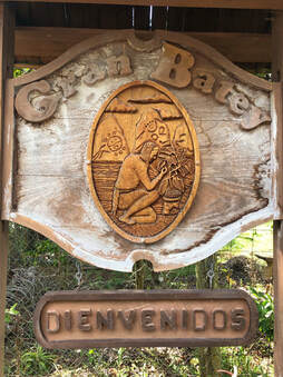
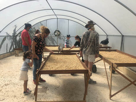
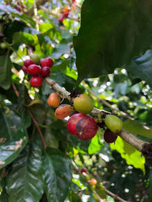
After buying a year’s supply of coffee beans, we said “Adios”, and left with big smiles on our faces. We continued down the road to our next stop to learn even more about Puerto Rico and its people. It was a truly wonderful afternoon, and if you want to learn more, about Cafe Gran Batey please read the blog post HERE and see more from our tour in our YouTube video below!
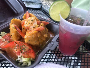
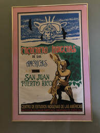
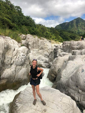
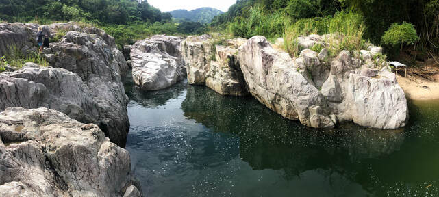
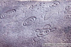
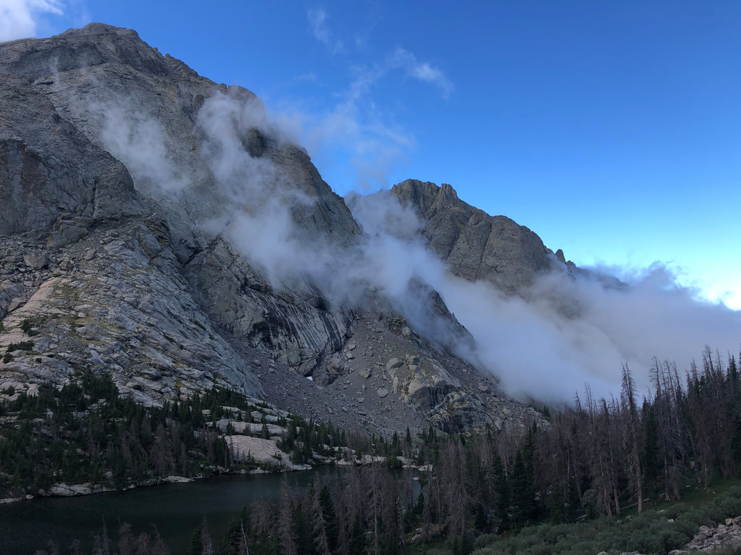
Watch more from our trip to Caguana Ceremonial Indigenous Heritage Center in the video below! We stopped along the highway again and grabbed dinner at La Placita del Vivi. Again, we ordered more of the Puerto Rican staple mofongo and mojitos and recounted how great the entire day had been. Soon, we were back in the hot tub and staring at the stars. 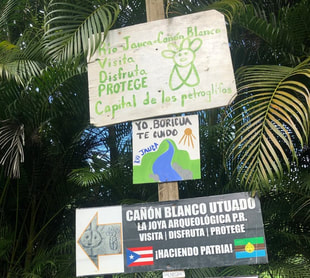 The entrance to Canon Blanco. The entrance to Canon Blanco. Our first stop was Canon Blanco! exploring-canon-blanco-looking-for-petroglyphs-in-utuado-puerto-rico.htmlThis spot had been recommended in my Girls Love Travel Facebook group, and when we pulled up, we were both giddy to see what we had found! The canyon touts petroglyphs, and the signs had a picture of them, but sadly, we never found any in the few hours we spent wandering. The canyon scene surrounded by mountains made up for the slight disappointment. See more of our canyon exploration in the YouTube video below! While leaving Canon Blanco, I set Google Maps to La Piedra Escrita to try to see some petroglyphs, but sadly, we never made it to the other canyon. John had made detailed driving plans while we were preparing to visit Puerto Rico, but that slipped both of our minds, and we paid the price for following Google Maps. The road we were led down had been eaten by the jungle, and as we were turning around, it popped one of our tires. Knowing that we could find more danger than we wanted in the remote jungle, we quickly removed the popped tire and secured our spare tire. It was quite an eventful detour, and we felt silly having popped a tire when we had prepared driving directions, and we wish we had been smarter. You can read all about this major setback in this separate post “What It’s Like to Drive In Puerto Rico’s Jungles”.
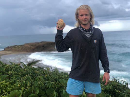
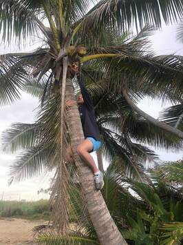 Enjoying the beaches in Arecibo! Enjoying the beaches in Arecibo! While the flat was being taken care of, we explored a nearby, unofficial beach of Aricebo and found a coconut tree with fresh fruit! John climbed up and grabbed one. We enjoyed the fresh coconut water, and John ate almost all of the meat. Though we had never planned this activity, we couldn’t have been happier with the situation. It didn’t take too long to have our tire replaced, and once it was done, we were hungry. We drove through Arecibo toward the lighthouse to grab some dinner. We chose Carbon y Leña Beach Restaurant just off the beach and enjoyed one of the largest, most flavorful meals we had had in Puerto Rico.
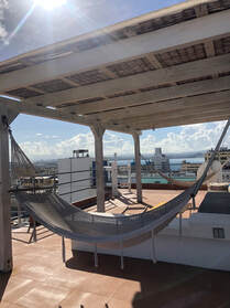
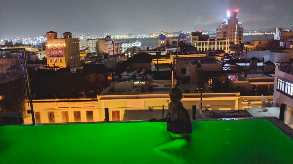
You can read more about this delightful meal in the separate post HERE! When we got back to the city, we dropped off our rental car and had arranged for an Uber to take us to Hotel La Terraza where we had booked a room through Airbnb. We chose this boutique hotel because of its rooftop infinity pool! It was very nice, but sadly, we arrived a little too late in the evening and during a rain shower. It didn't stop us from getting in for as long as we could, but eventually we had to call it a night and start packing our stuff. The next time we come back we want to see the places we didn’t have time to make it to on this trip: Thanks for reading! See more in depth about our entire trip to Puerto Rico on our Puerto Rico page here!
0 Comments
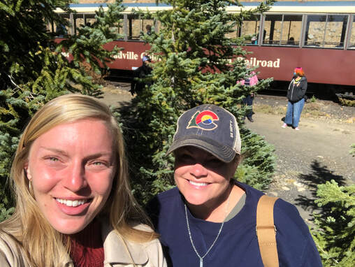
Road Trip To Leadville With My Mom To See Fall Foliage, Soak in Hot Springs, and Ride Scenic Trains!10/5/2020
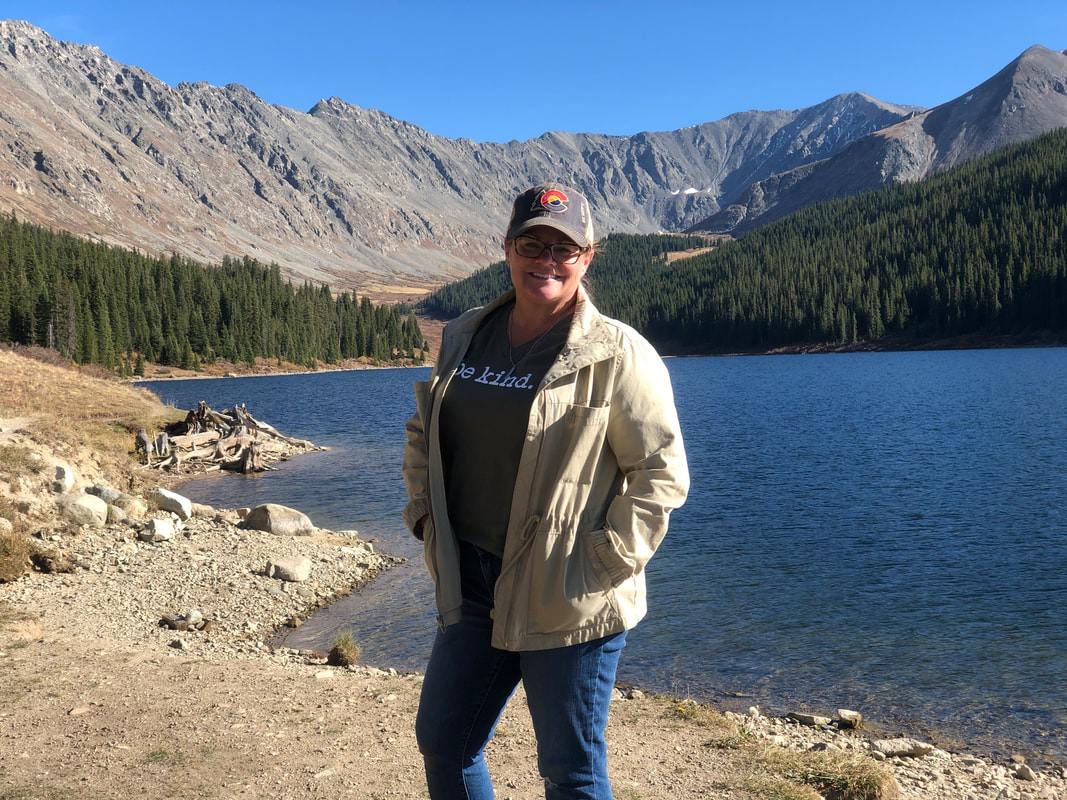
With my mom coming to town for only a few days, I wanted us to have a full itinerary so that she could really see all of the highlights of the place I now call home!
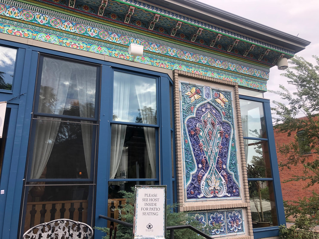
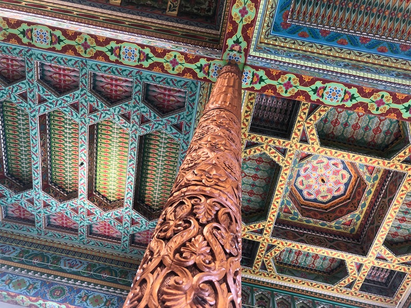
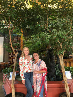
After brunch, we took some time to relax and get all dolled up for our most girly event of the weekend. Once we were ready, we drove to Boulder to visit the Dushanbe Tea House!
You can read more about the tea house’s history and about each course, in this separate blog post, HERE!
You can see more photos from our hike on Kenosha Pass, in this separate blog post, HERE and in the YouTube video below!
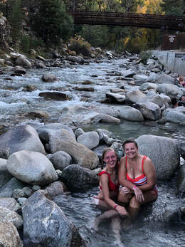
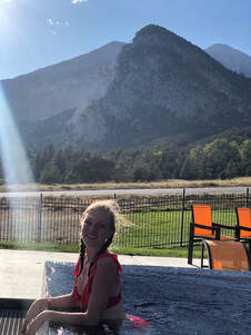
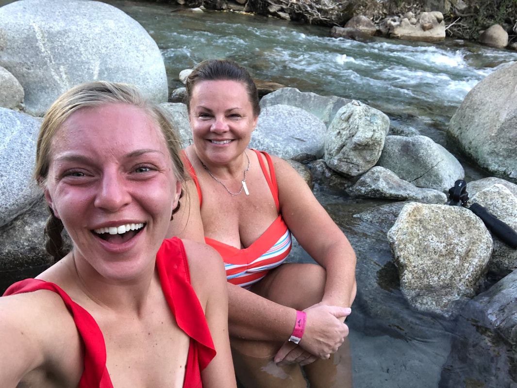
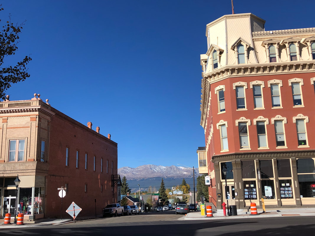
If you want to read more about our entire 6-hour adventure testing out all the pools in the resort, checkout my Mount Princeton Hot Spring review HERE! When we finally decided to pry ourselves out of the pools, we grabbed a quick dinner in downtown Buena Vista at Simple Eatery. Then, we hit the road to our Airbnb in the historic mining town of Leadville!
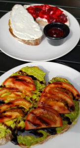
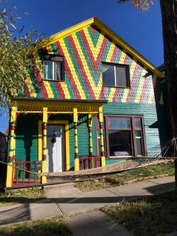
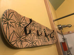
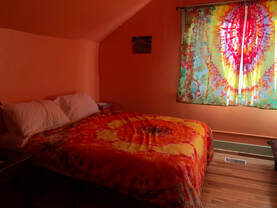
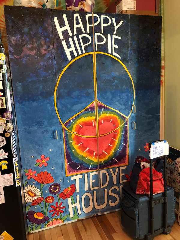
If you would like to book your own stay at the Happy Hippy Tie Die House, use my link, HERE, for a discount! We woke up well-rested and walked to breakfast. We stumbled into The Golden Burro, and embarrassingly, we ordered the same meal: stuffed French toast with a cup of tea.
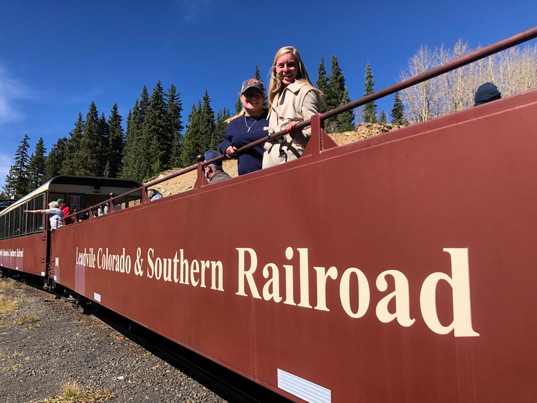
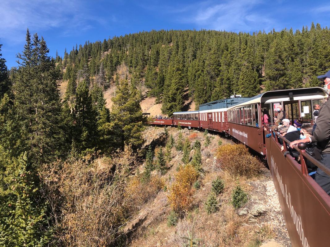
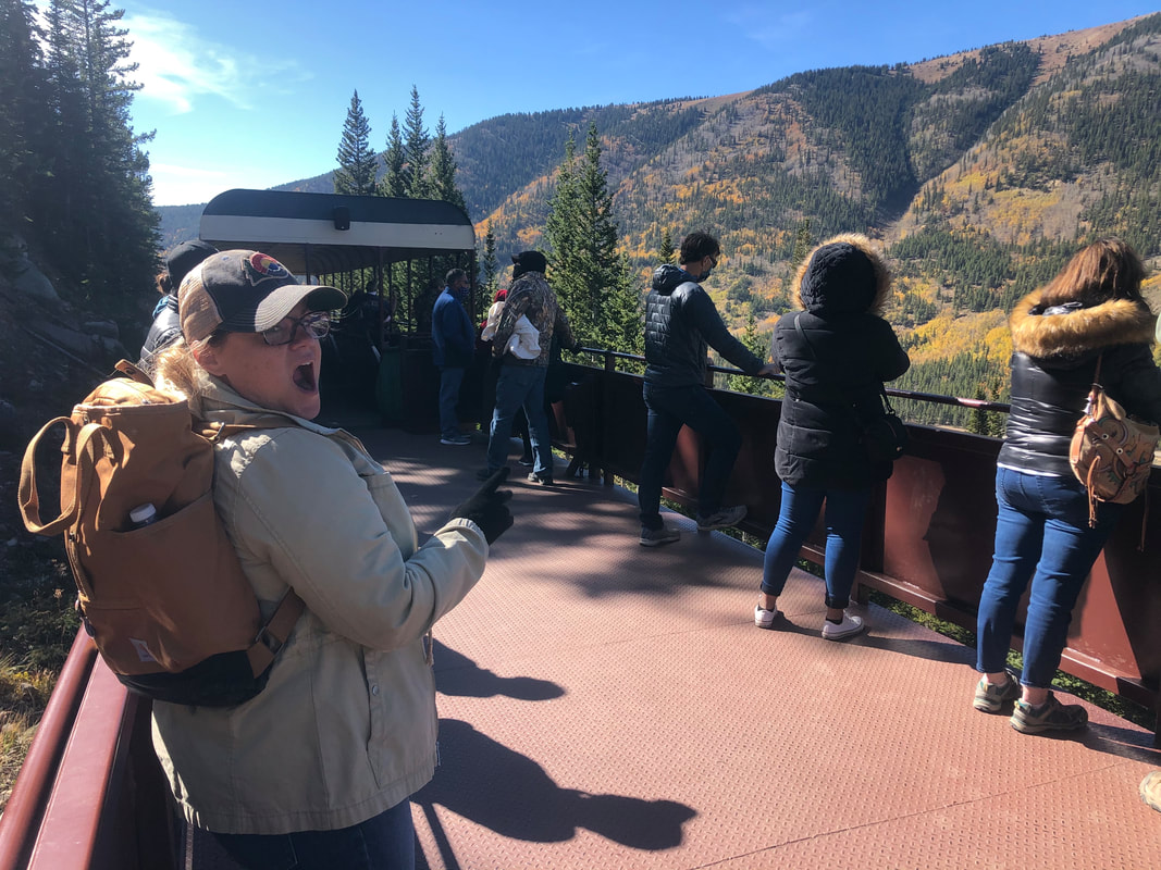
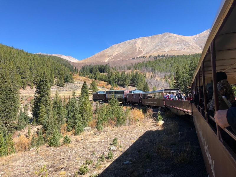
The entire train ride was cold and windy but wonderful and incredible. You can see more form our ride, in this separate blog post, HERE! We made it home, and sadly, mom caught her flight back to Texas. We said our goodbyes and neither of us could get over how lovely the weekend had been. It had all fallen into place, the weather was perfect, and the fall leaves were at their peak.
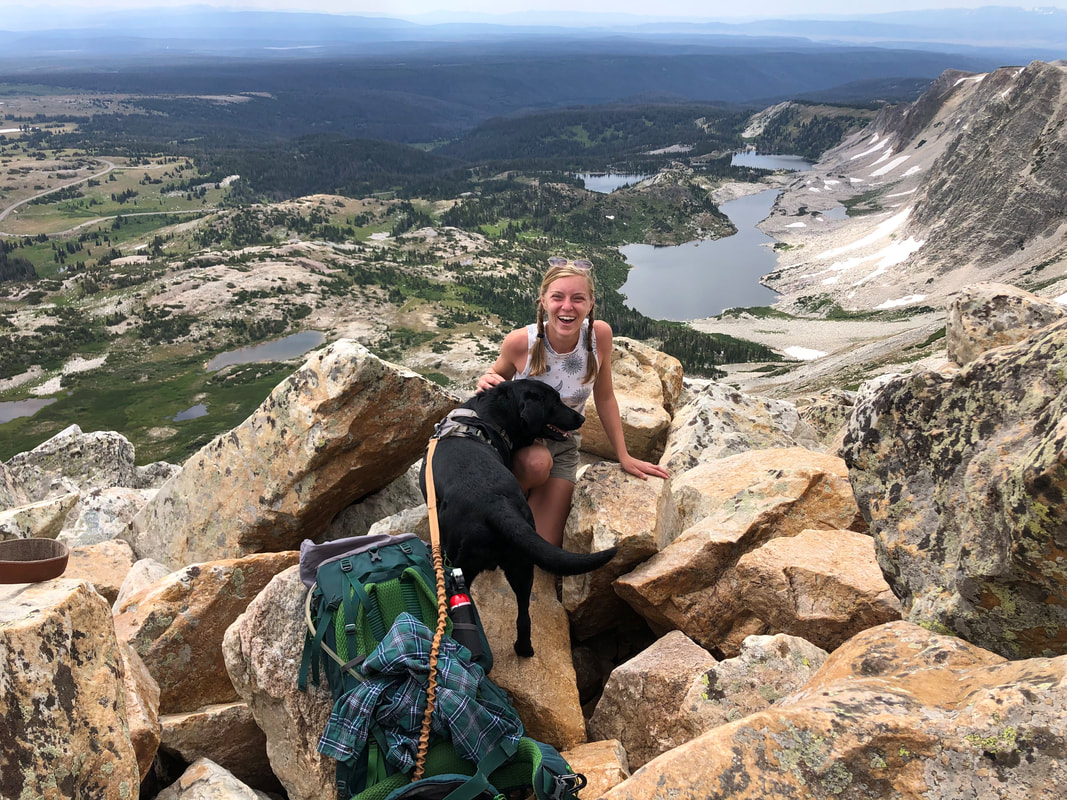
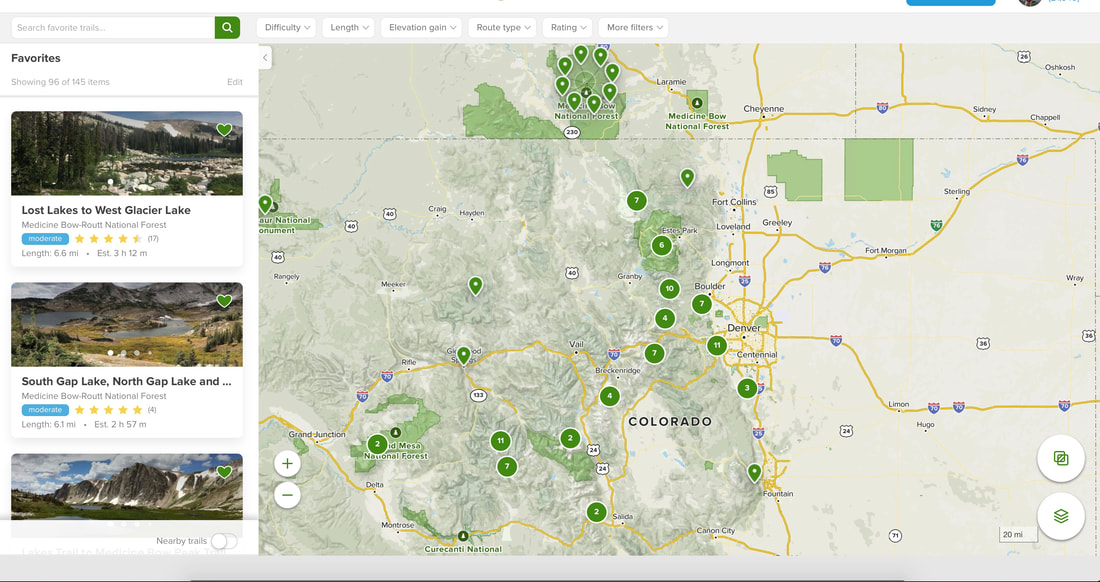
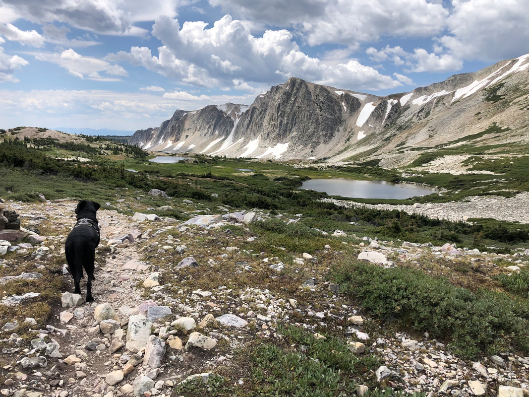
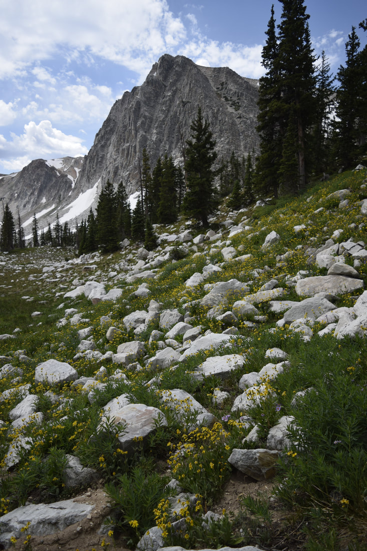
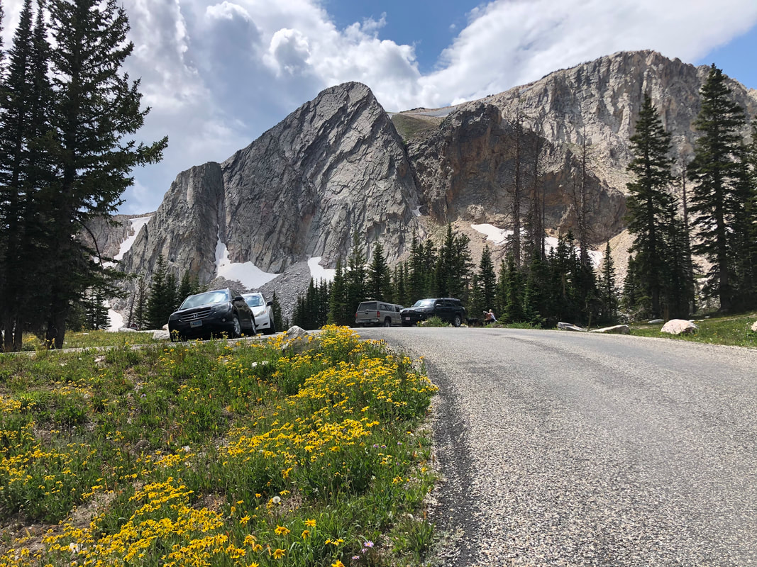
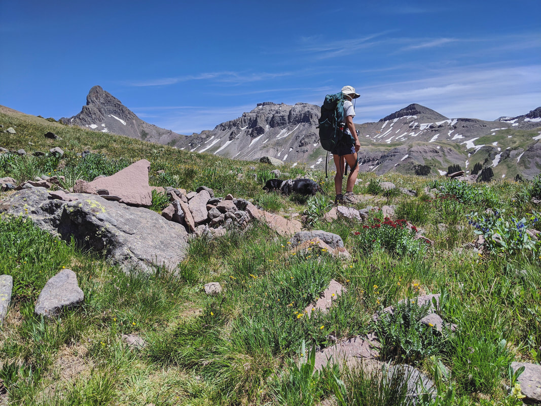
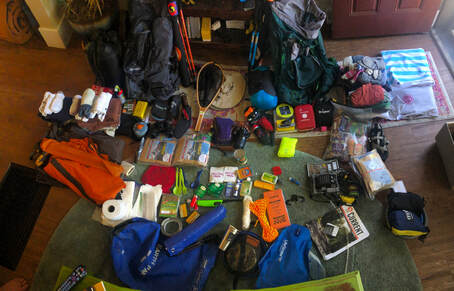
We couldn’t have asked for anything better! After filling my kelly green Kelty 90 bag, I did a little internet browsing. Luckily, the planner in me had already prepared for situations like this, and I looked to a few lists of trails saved on AllTrails.com. I was left with a few choices, but none stood out like The Medicine Bow National Forest outside of Laramie, Wyoming!
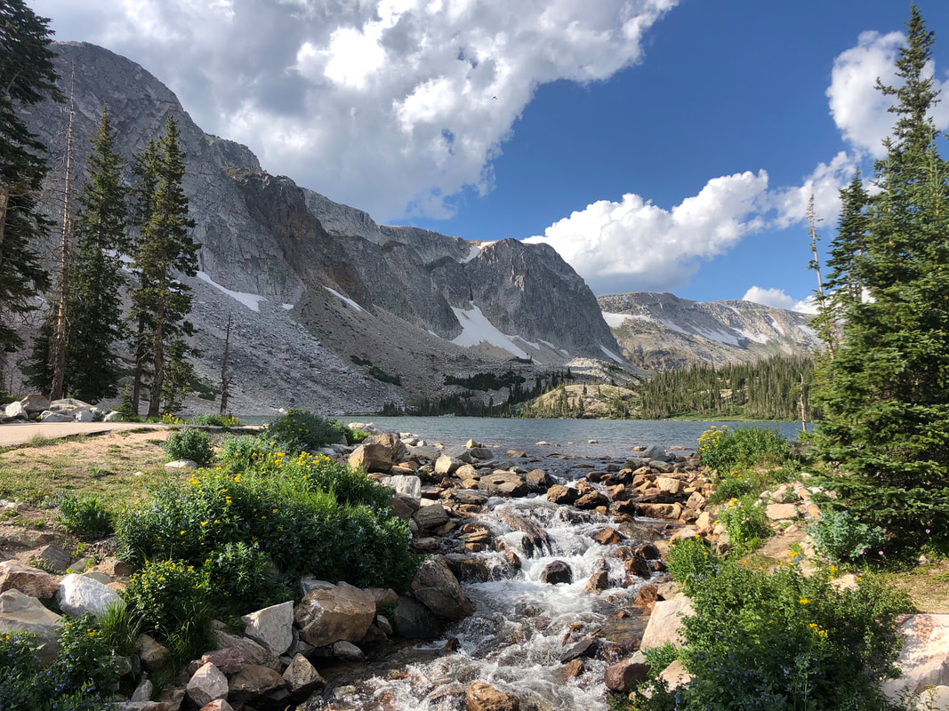
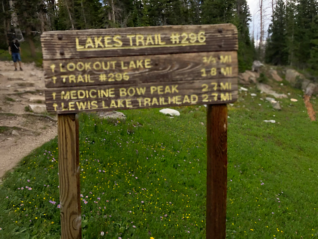
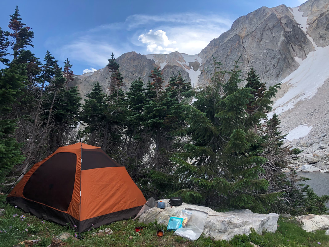
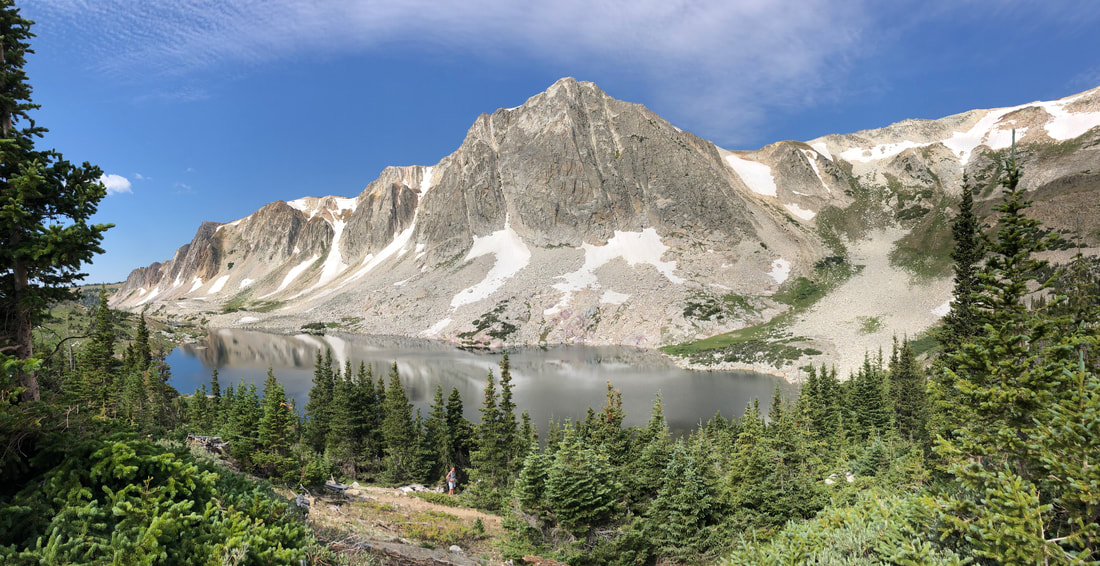
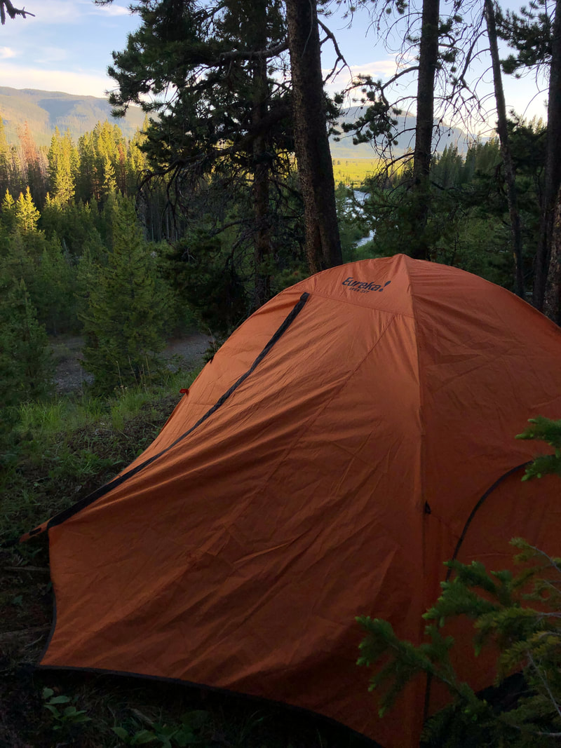
It only took me seven minutes from the Lakes Trail Trailhead Sign to see the water of Lookout Lake. We approached the area from above it and on its right side. From here, I could see there was a small grove of short trees that looked like the perfect shelter. I veered off the trail, walked toward the water, and found the perfect clearing. I attempted to do a little fishing as the sun was setting and I had unpacked my gear. I tied on a green wooly bugger streamer, but sadly, I didn't have any luck. I questioned whether or not there were even fish in the lake, but I figured I would try again in the morning. Wide awake at 5:30 that morning, I stammered in my tent for a bit before getting out to get the food from my bear bag. When I walked out, I was a little surprised at the sight I found! Fish were jumping everywhere! There were so many that it looked like a light rain was falling. It was a sight I had never seen before. I quickly got my food down and grabbed my rod. You can see more of these fish jumping in the extended YouTube video below! I took off the cumbersome streamer that I had been using the night before, and I put on the smallest dry fly I could find. It was a #22 blue wing olive pattern. I attached it to the end of my tippet with a fisherman’s knot and started swinging.
The success continued, and I was blown away by how much fun I was having. This incredible show of jumping fish continued on for almost two hours, and all of a sudden, they stopped. No more fish were biting at my flies or popping out of the water anywhere. I finally decided to stop and reeled it in. I called it a day after landing six trout! It was only 9 a.m, so I warmed up some breakfast and tea and enjoyed the sunrise over the mountains above me. By the time I had eaten, looked at my maps, cleaned up camp, and grabbed my day hiking gear, it was starting to warm up outside. I decided to walk over the pass on the Lakes Trail to see what the view looked like from above.
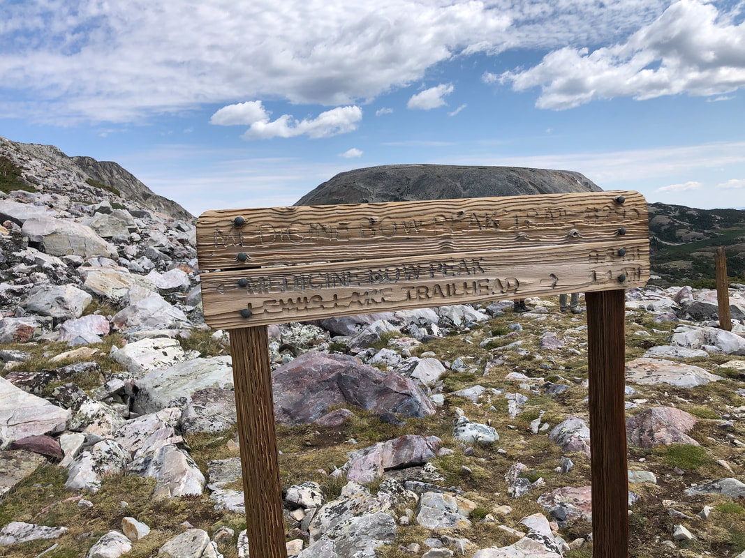
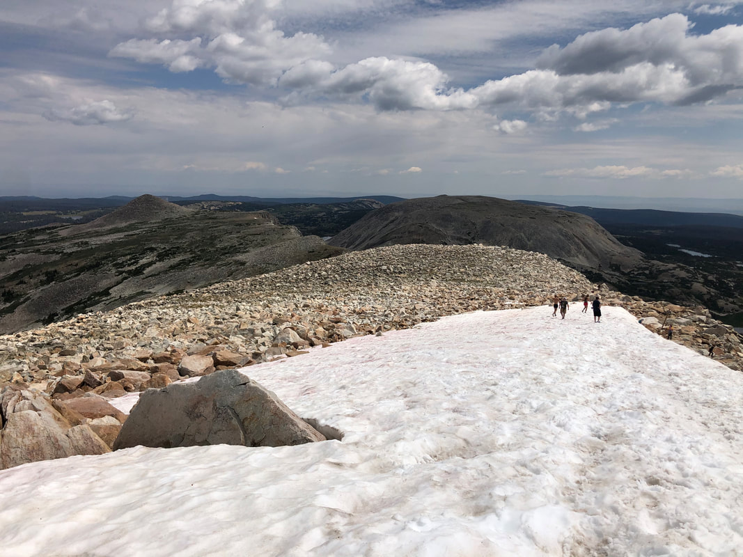
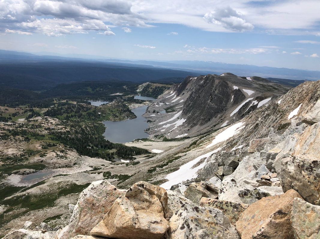
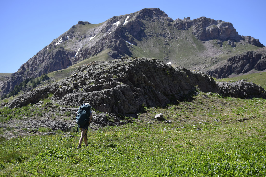
When we made it up to the high point of the trail, we could see down onto the area we had come from and a new area full of more lakes and trail systems. Instead of walking down among the new lakes, I looked left and saw The Medicine Bow Peak trail. I decided that heading up to the summit is what I would do. It was 11 a.m. when Maria started pulling me up the trail. It was a rough trail of steep switchbacks, but with every turn, I swear the views somehow got better. We eventually climbed high enough to see seemingly all of the lakes on all sides of the mountain and miles past them.
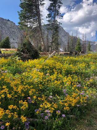
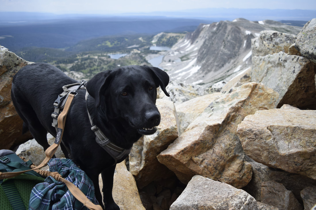
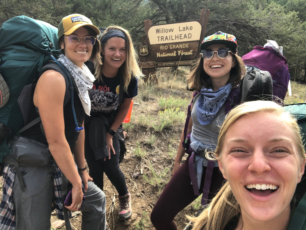
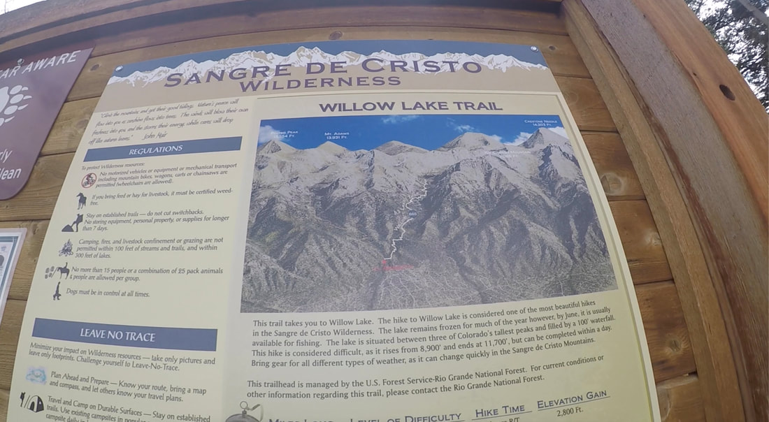
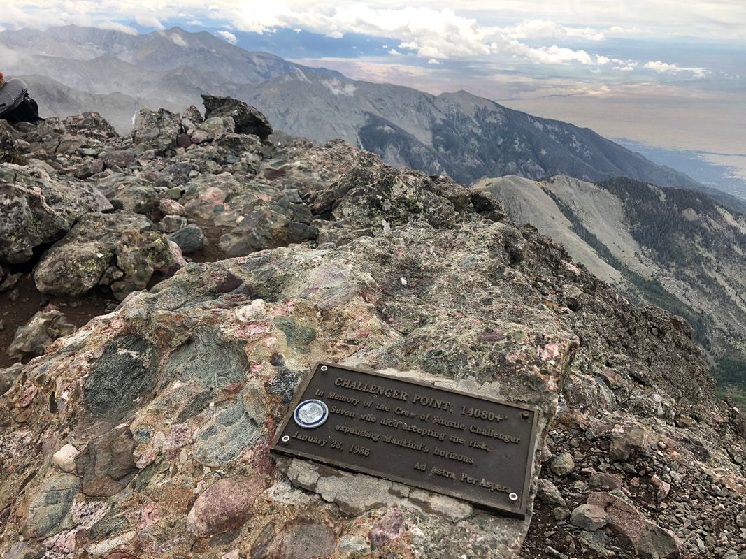
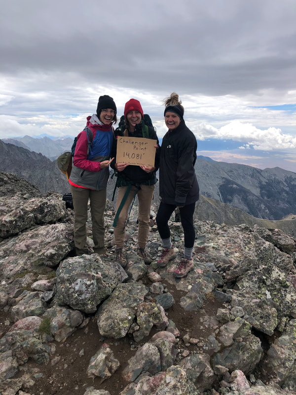
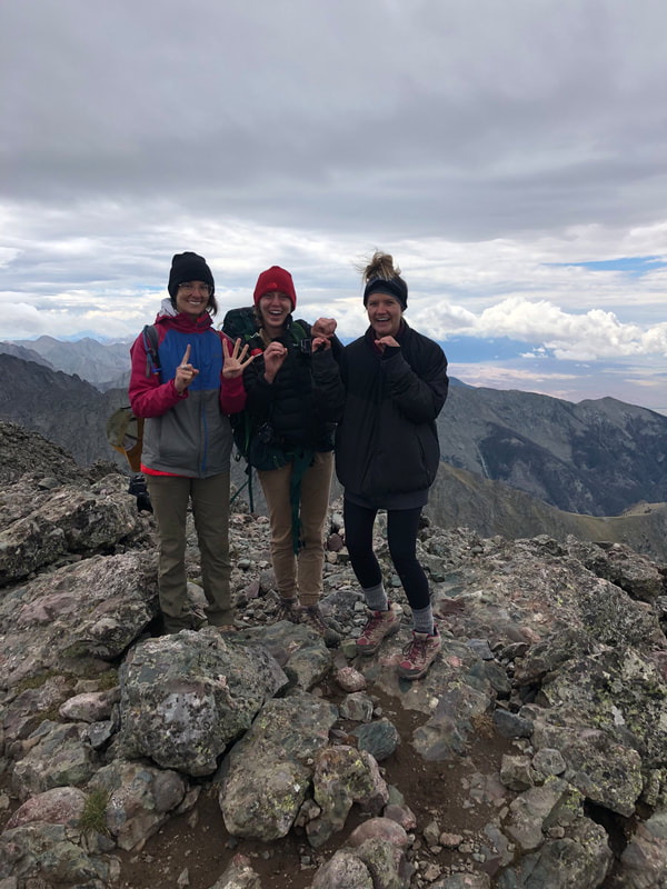
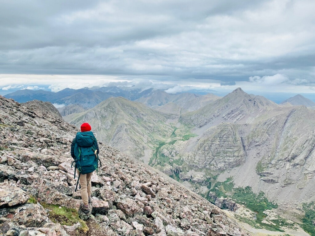
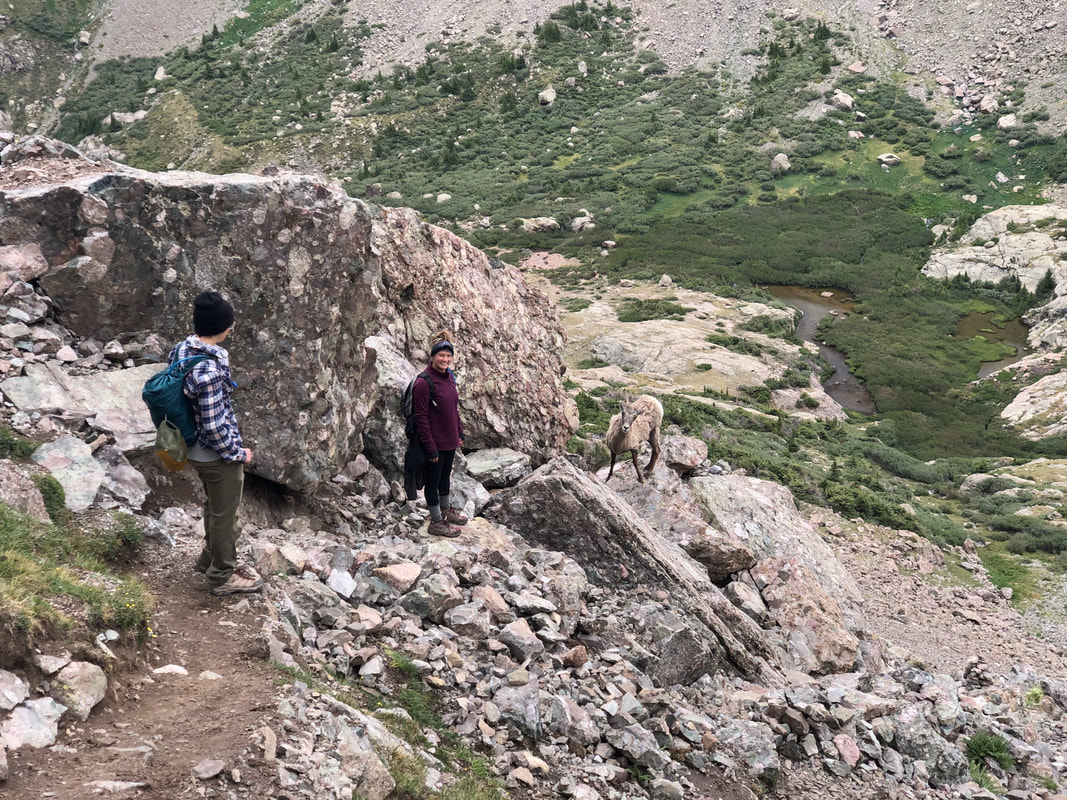
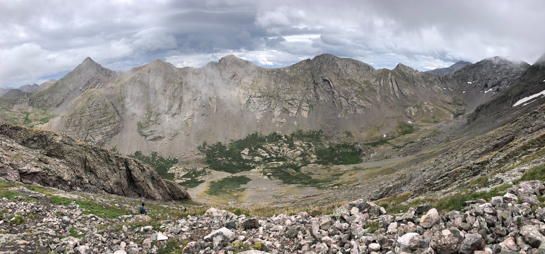
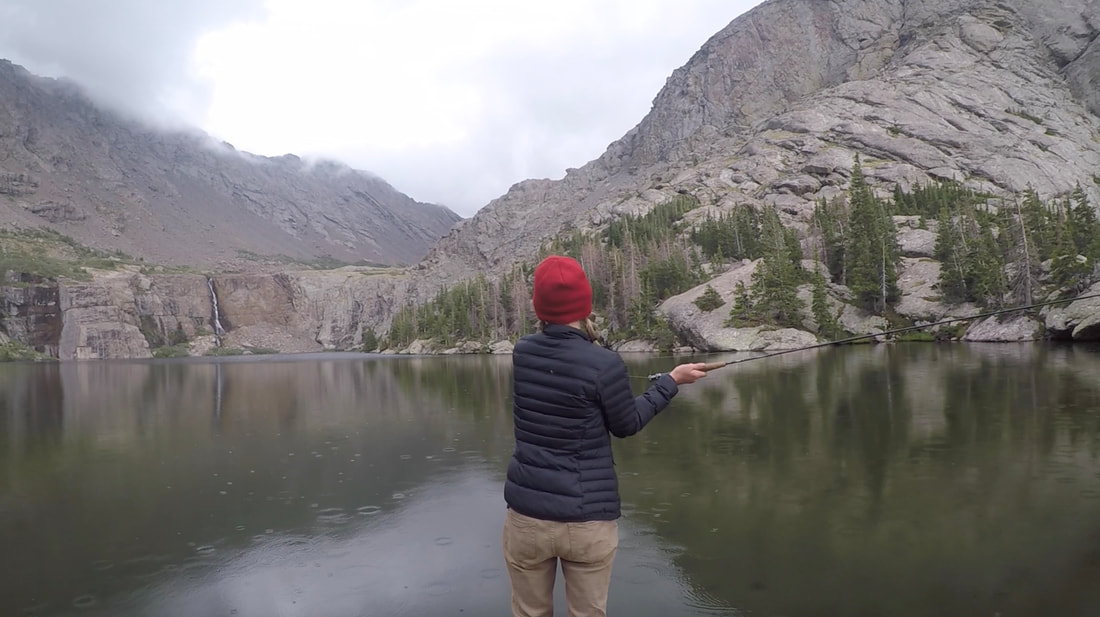
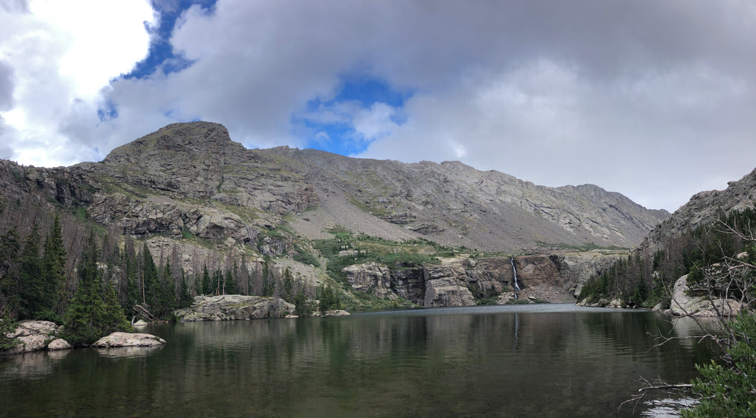
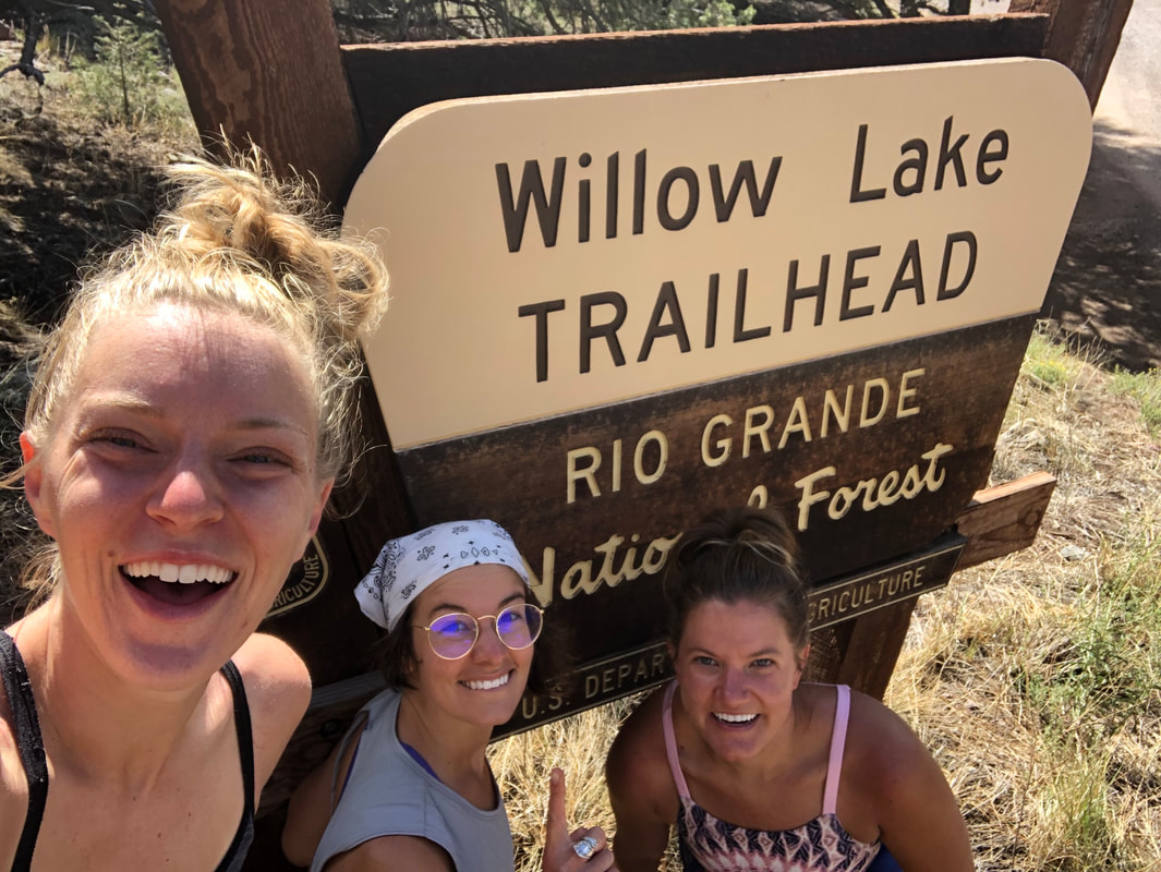
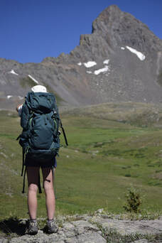
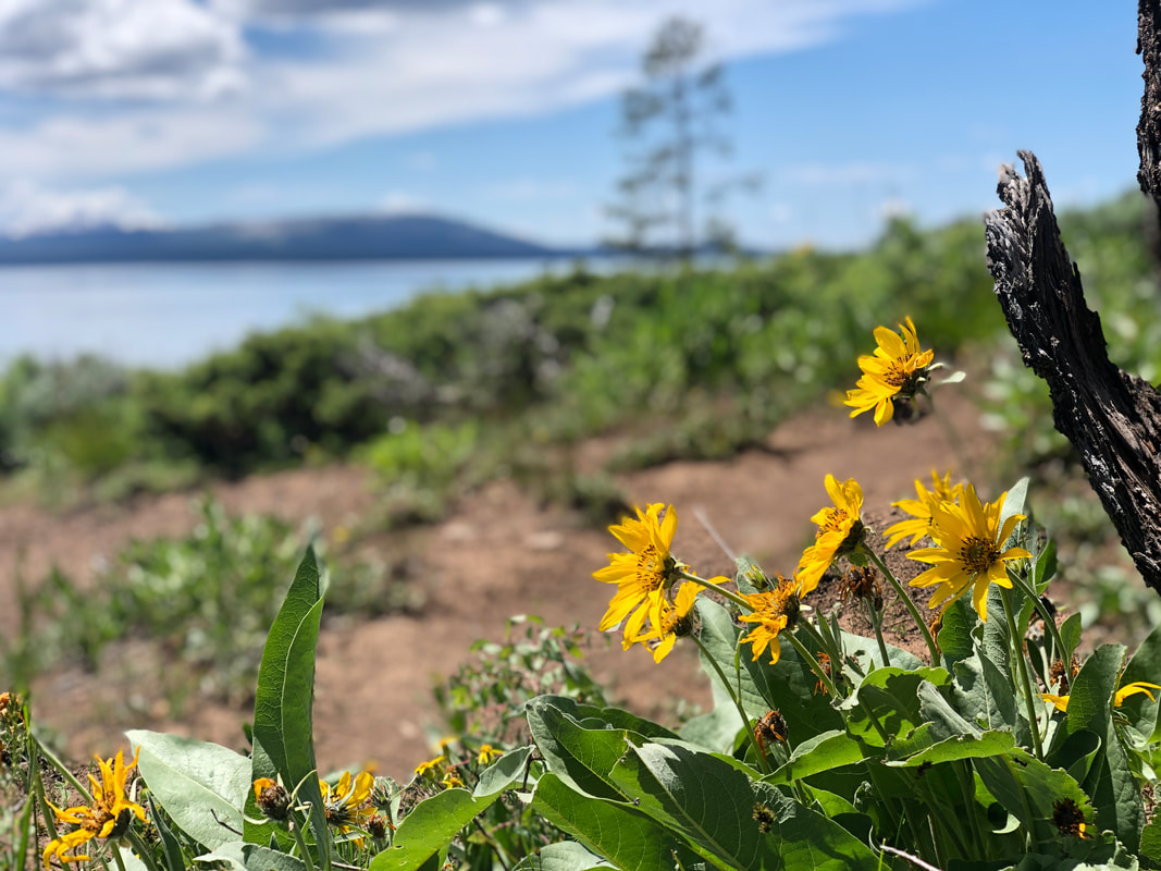
We spent a good while exploring at the summit. The views were breathtaking, and they were the perfect place for us to take a break and catch our breath. We found a seat, I grabbed a snack, and Maria drank a bowl of water. We hung out for a while at the top and took it all in. When I heard someone mention that it looked like a storm was rolling in we started heading down. It took us only 20 to 30 minutes to make it down the trail. It was rocky and a little rough on the knees, but we kept pushing down the hill, as more and more people were talking about the weather. Even though I cut the trip a night short, my first solo backpacking trip was an absolute success. It went more perfectly than I could have imagined. The views of the lakes from above, the surrounding flowers close below, and the perfect morning of fishing, were incredible. This spontaneous trip was unlike anything I could have planned. You can watch more from the entire weekend in my YouTube video below! Three ladies, Kassi, Natalie, and Rachel, trusted me to take them through the Sangre De Cristo Mountains up to Challenger Point via The Willow Lakes Trail. This would not only be each of their first times backpacking but their first times summiting a Colorado 14er (a mountain higher than 14,000 feet above sea level) as well! Based on our group chat, everyone was a little nervous but more excited about trying out the new activities! You can watch more from our entire trip on my YouTube Channel or in the video below!
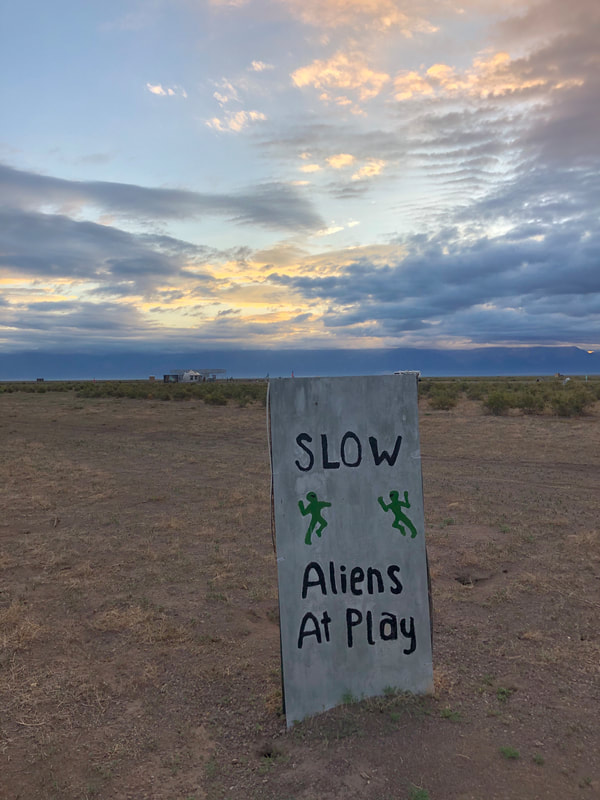
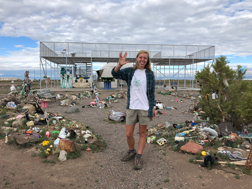
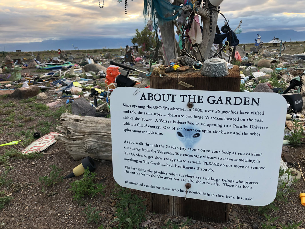
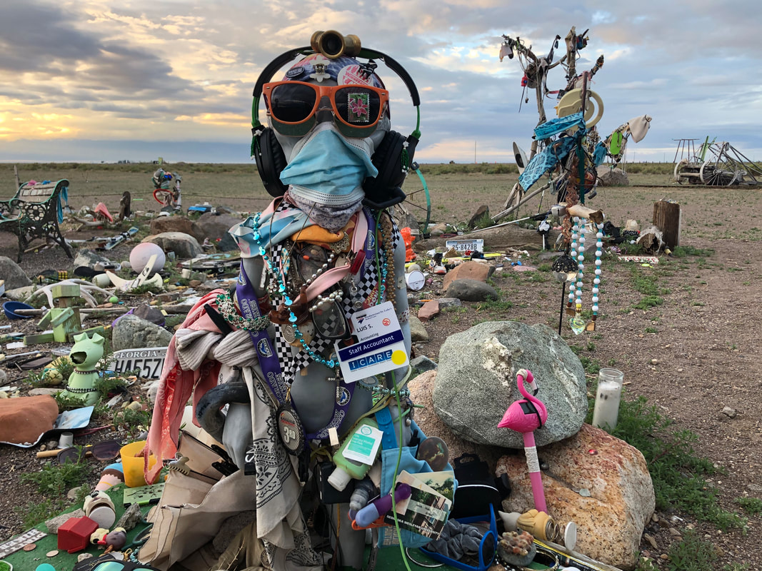
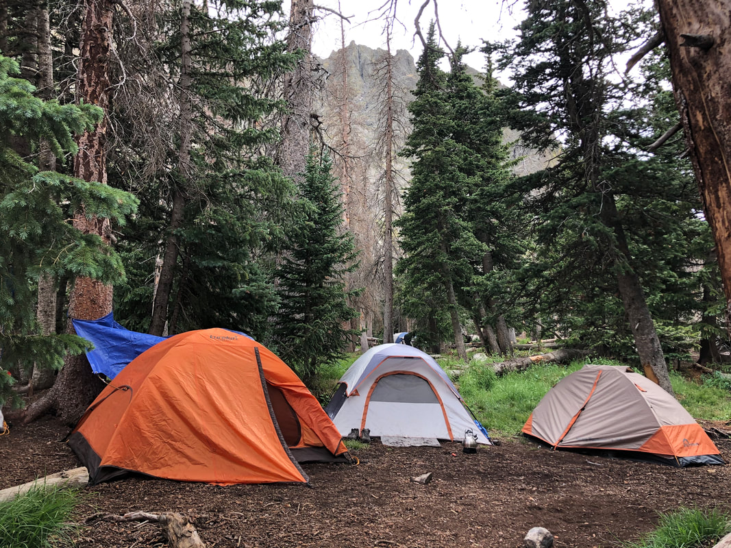
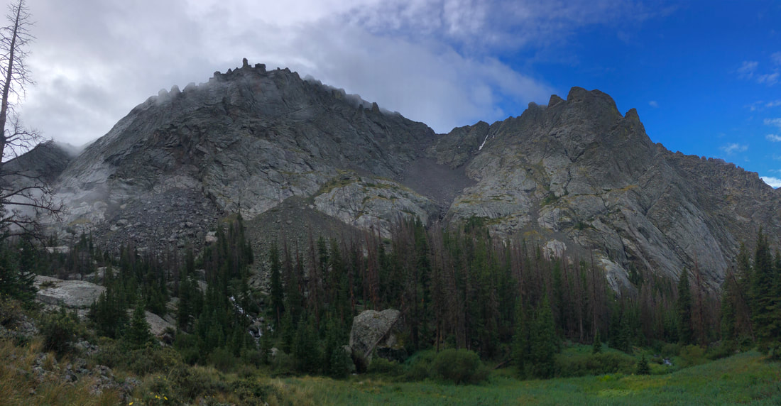
The next morning before we packed up, we actually walked around the Watchtower and saw all of the offerings others had left to the beings that are rumored to inhabit the area. We left our own offering hoping for a great and healthy trip ahead of us then took off to the trailhead!
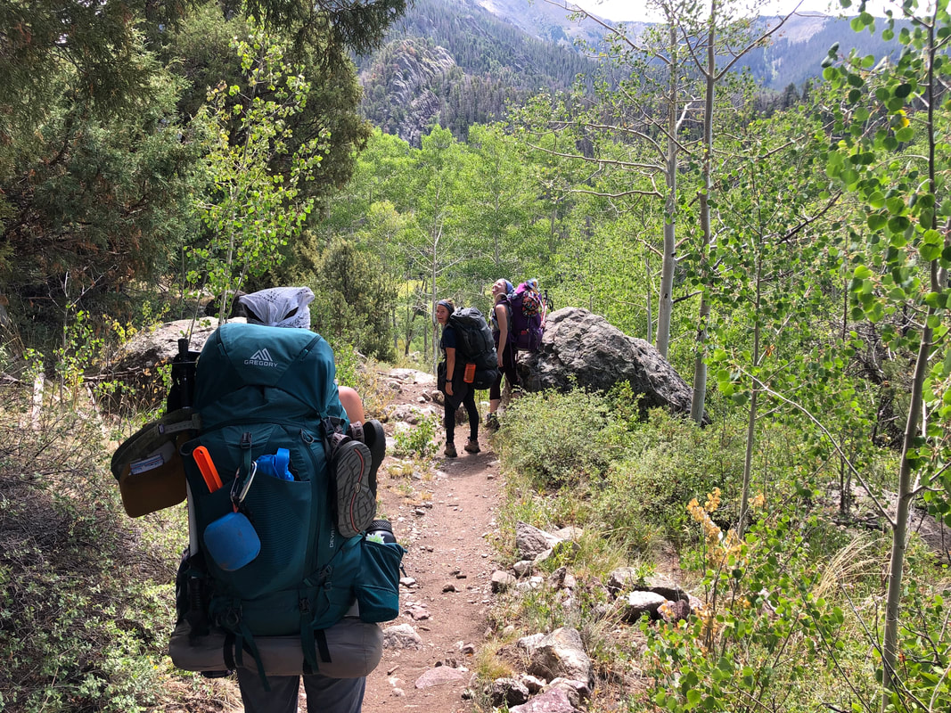
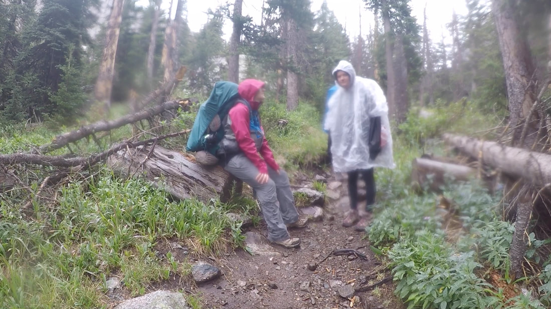
It was roughly 10 a.m. when we left our cars behind and entered into the woods. Fortunately, it was cloudy, so the sun wasn’t beating down on us. The heat would have made this hard hike even harder to handle.
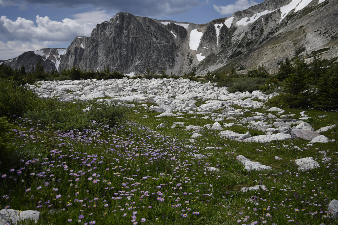
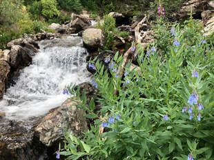
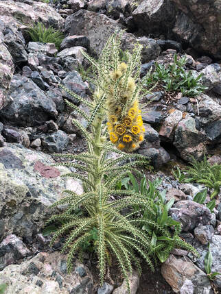
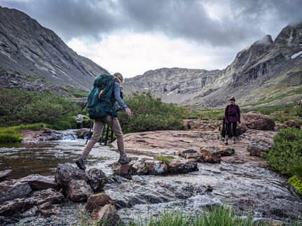
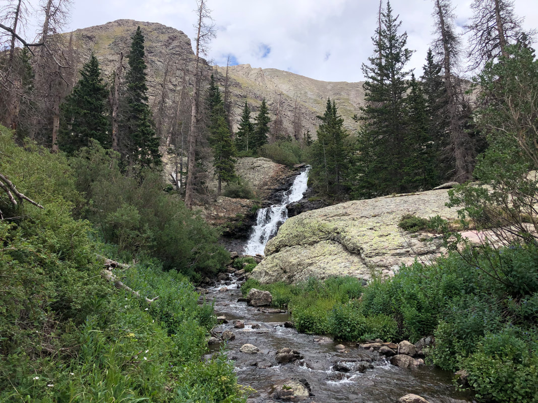
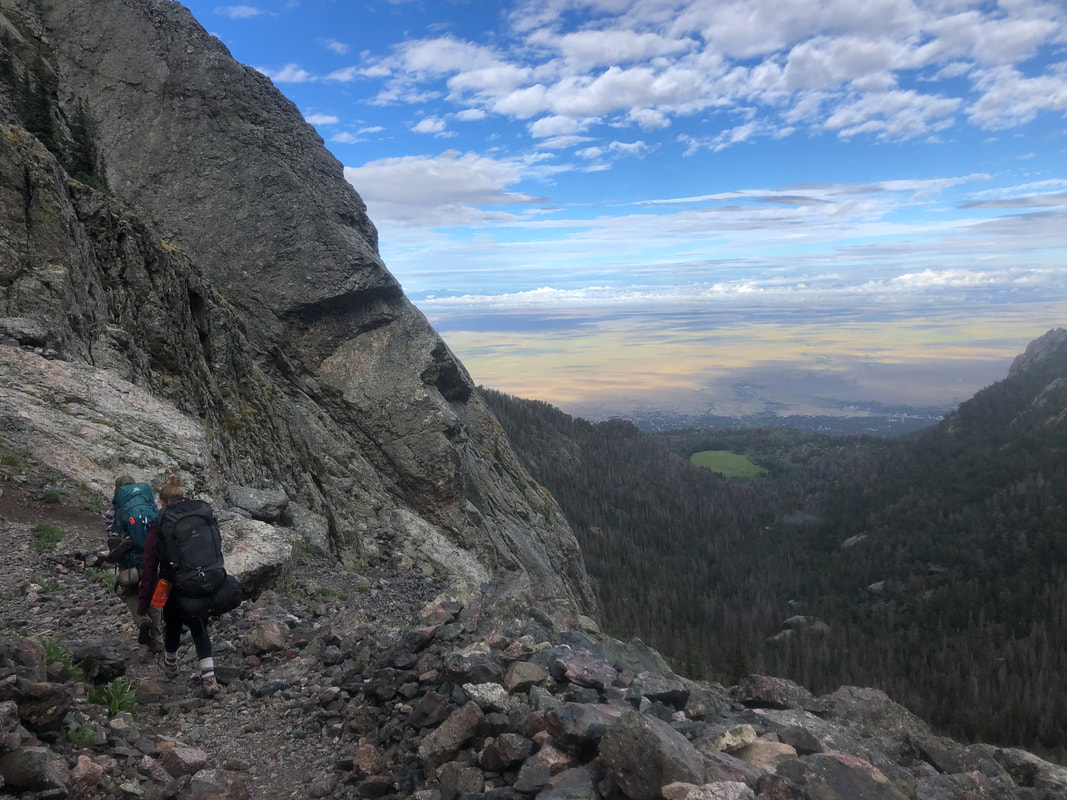
The trail, though it was tough, was beautiful. It cuts in and out of the woods, over and around Willow Creek, and turns and weaves through boulder fields and valleys of bright blooming flowers. It was magical.
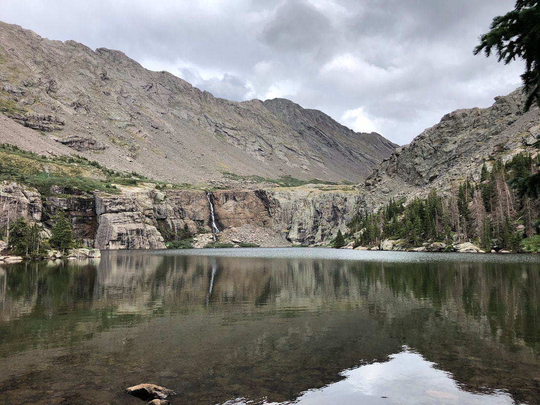
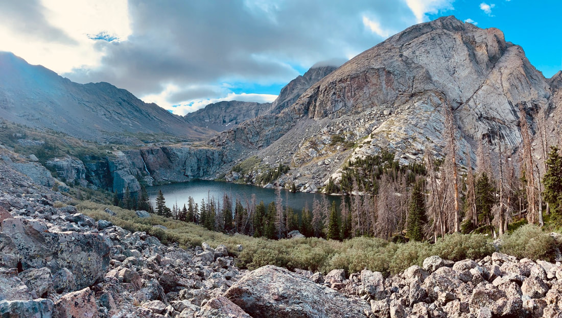
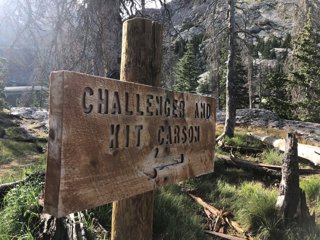
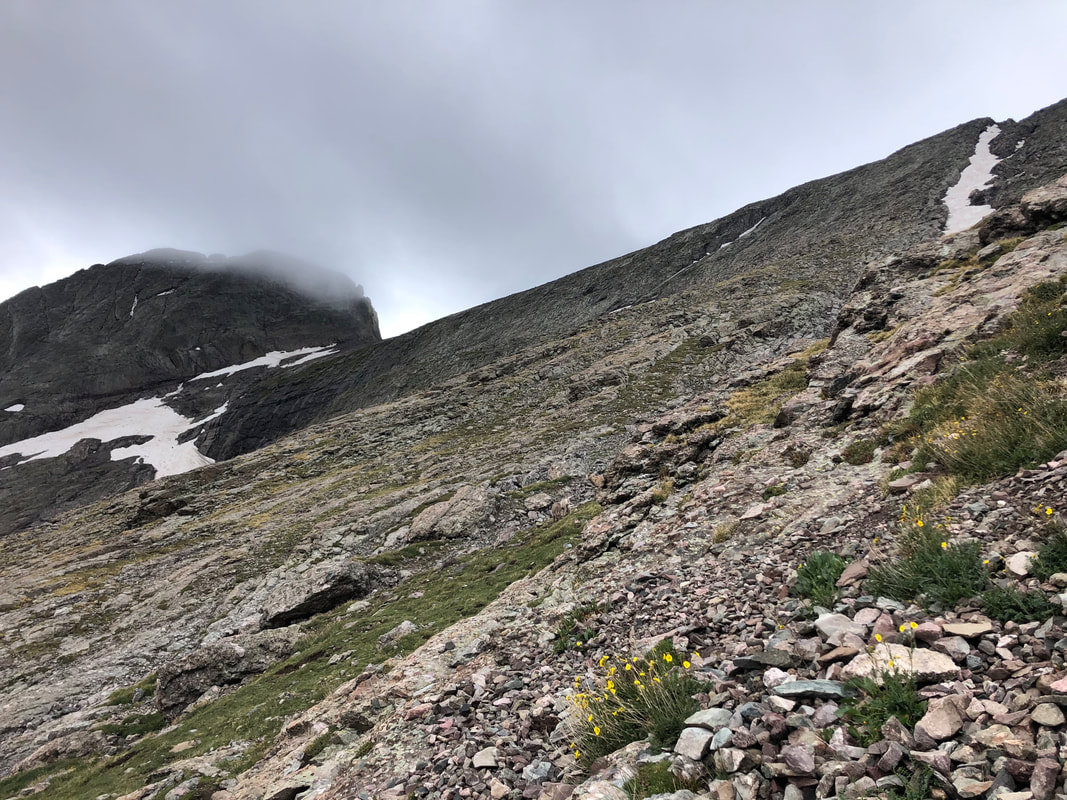
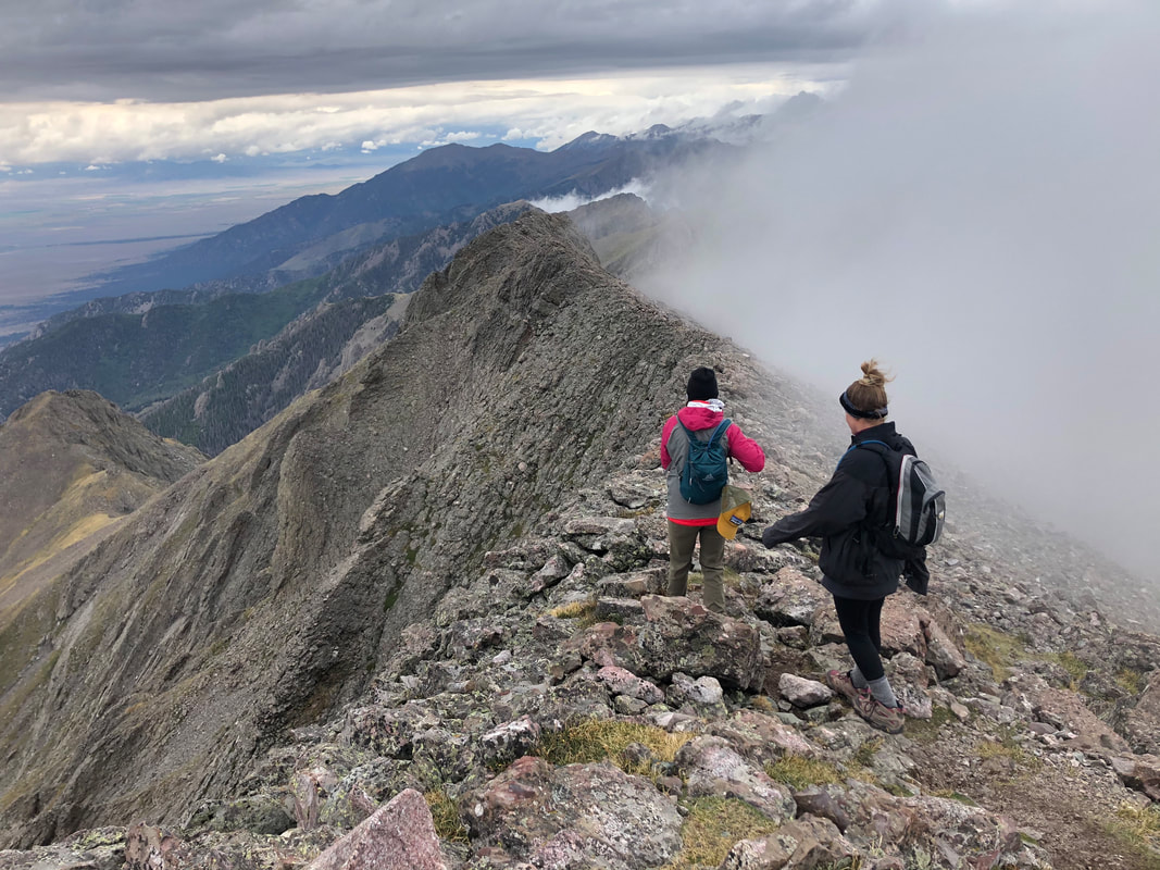
The map and routes said it was only 1.6 miles from our campsite to the summit, and we knew it was going to be steep. Willow Lakes is the exact halfway mark, as far as elevation gain goes, from the trailhead to the summit, so even though it was a shorter hike, it was much more difficult. It would be nearly twice as steep as the day before’s hike. Once we reached the Challenger Point trail marker, the terrain took on a different persona. From here on out, the trail is a steep, scree filled, rock climb all the way to the summit.
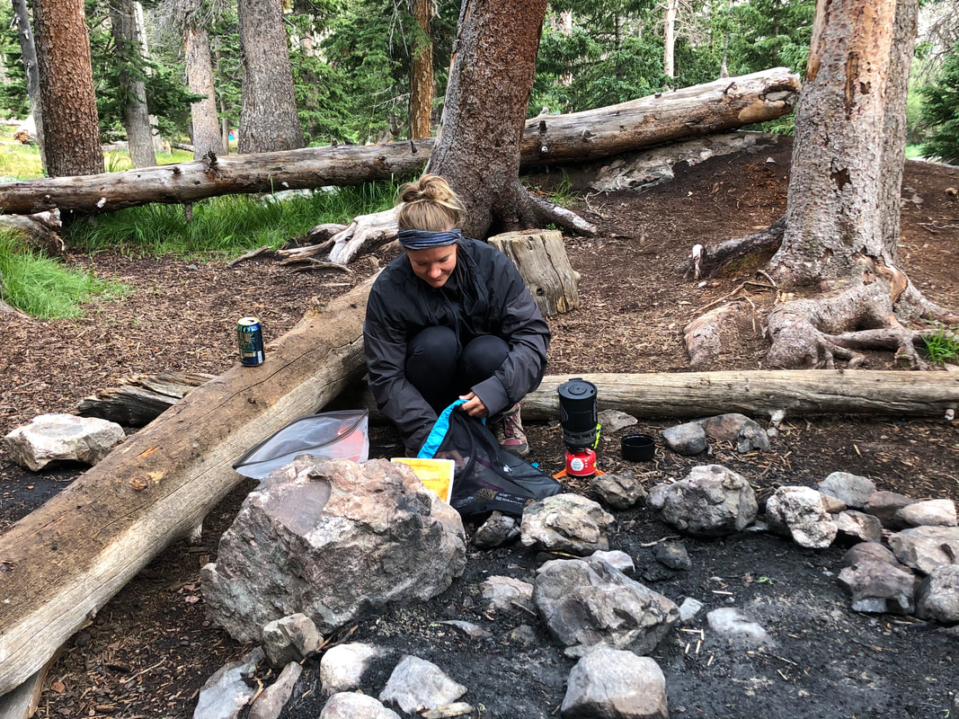
The hike down took no nowhere near as long as the hike up, but we had to be extra careful not to knock rocks loose onto hikers below us. The steepness really took a toll on our knees, and Natalie was very thankful to have her poles. We made it down safely, and before we knew it, we were back at our campsite It took us 6-hours to hike from our campsite, to Challenger Point, and back to our campsite. It was roughly 2 p.m. when we got back, and we were starving. We all cooked lunch and tried to recover from the last two days’ strenuous hikes.
The rain never let up, and it stormed all night. It rained so hard that we heard rock slides and saw new waterfalls coming off the nearby rocks that had not been there before. Again, it was an early night in our tents, but the early night meant an early morning start. Fortunately, the rain had stopped by the time we woke up, and we were able to pack up all of our gear without it getting too wet. Once our campsite was broken down and our packs were completely full, we were ready to head back down the trail to our cars.
You can watch more from our entire weekend in the video below or on my YouTube Channel here!
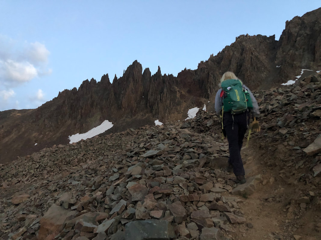
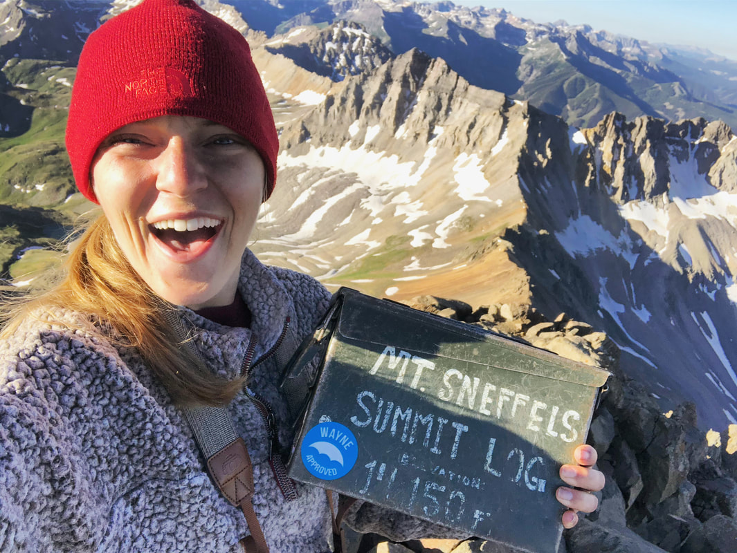
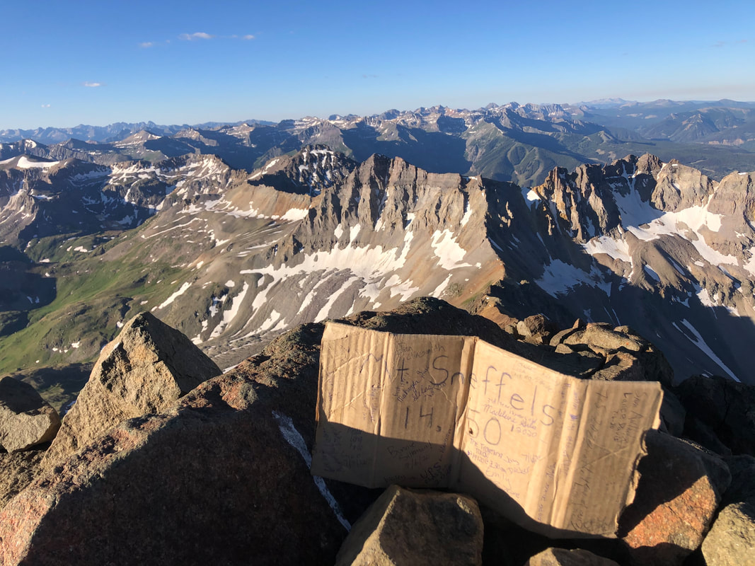
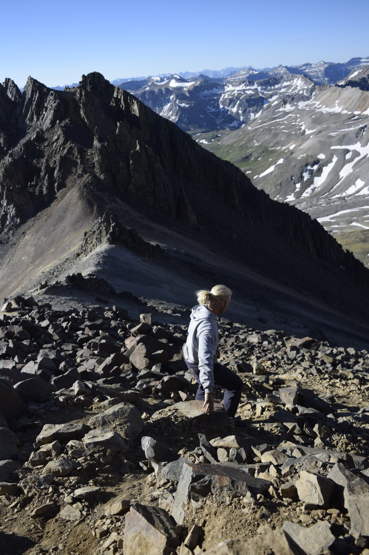
You can watch more from our entire summit experience in our YouTube video below!
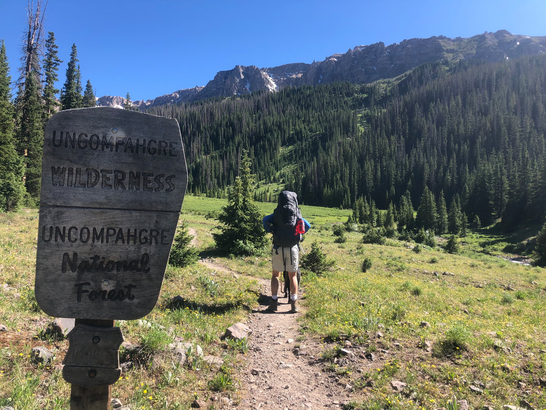
If you want to see more from our time in the Uncompahgre Wilderness please look at our separate blog posts and YouTube videos HERE!
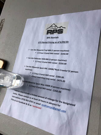
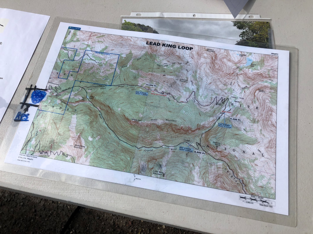
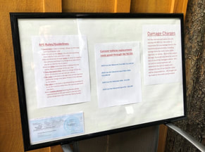
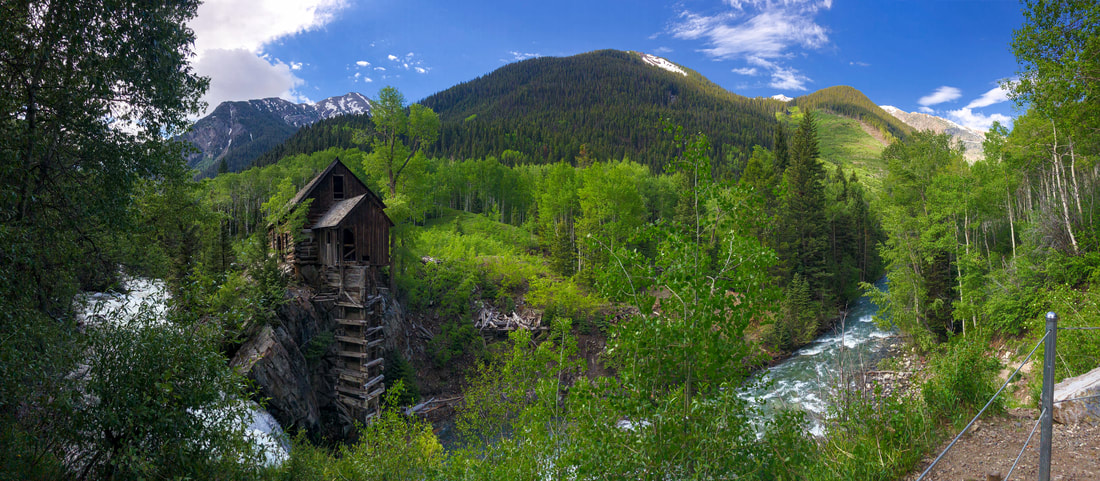
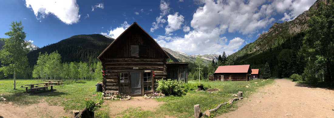
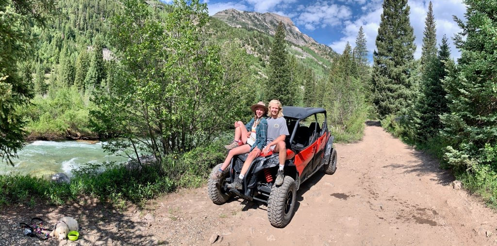
Still professing the entire trip’s incredibility, the three of us finished our weekend of climbing Mount Sneffels and exploring Wetterhorn Basin in Uncompahgre National Forest and headed back home, finally, to Denver. Watch more from our entire week long journey below or on our YouTube Channel! 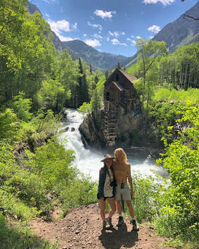 Crystal Mill has been at the top of my Colorado bucket list since before I even moved here. At the time of this visit, I had made about a half dozen trips to Aspen and Carbondale without ever going near the mill. One weekend in June, John and I headed west just to see this special place. We woke up Saturday morning ready to make the hike up, but when we checked the weather, we discovered an afternoon storm would be rolling through as we would be reaching Crystal Mill. I was determined to not let this stop us, so we set out anyway hoping to beat the storm. On the way there, our friend suggested we rent an ATV to drive up to the top and outrun the weather. He told us that there is a rental place close to the trailhead, so we set our GPS to RPS Rentals in the town of Marble, Colorado. You can see more from our day trip up to Crystal Mill on my YouTube channel HERE! 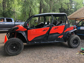 The UTV vehicle we rented. The UTV vehicle we rented. Outside the tiny rental shack were a fleet of off road vehicles. We spoke with the friendly owner, and he gave us the lowdown on the vehicles, the rental prices, and all of the rules. Unfortunately for the four of us, he only had a three-seater available. While we were conversing back and forth about how we could manage seating arrangements, the owner received a call from his next reservation saying that they were cancelling because of the weather! It just so happens that the next reservation was for the four-seater. The timing was perfect! The four-seater, for 2 1/2 hours and strictly 12 miles, cost us $350. It was something John and I would not have splurged on had we been alone, but we took the leap with our friends. In the end, it was worth absolutely every penny. 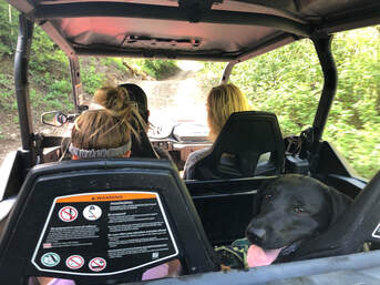 The seating arrangement after Maria got tired from running behind. The seating arrangement after Maria got tired from running behind. The OHV road to Crystal Mill had just been reworked during the previous fall and was in much better shape than we had anticipated. Another group of our friends were able to drive a Toyota Four Runner up to the mill. We realized that the rental wasn’t completely necessary, but the ATV was way more fun. There is no doubt in my mind that we made the right choice of vehicle 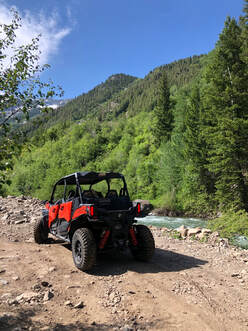 Riding along the Crystal River. Riding along the Crystal River. Even though the road wasn’t as rocky or bumpy as we thought it would be, it was still extremely narrow and windy. The entire ride follows the Crystal River and features absolutely breathtaking views of the surrounding mountains. It was only about 5 miles from RPS rentals to the top of the mill, and it took us around 45 minutes to get there. We got to the top when we weren’t even expecting to be there yet. 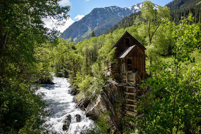 The first view of Crystal Mill we got! The first view of Crystal Mill we got! We were driving up through a thick grove of aspen trees, seemingly out of nowhere, Crystal Mill came into sight. We quickly parked the ATV and walked over to get a closer look at the spectacular wooden structure. Somehow, we were the only visitors there! We couldn’t believe it considering that it was noon on a Saturday! This meant we were able to take pictures, talk, and walk around with only the sounds of roaring Crystal River in the background. 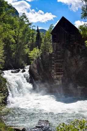 The view from the lower trial we paid for. The view from the lower trial we paid for. There was a nice, young ranger near the roped off trail to the shore who knew some facts about the mill and was collecting donations for the Crystal Mill Ranch Foundation. He said that if we made a donation, we would be allowed access to a trail that leads down to the river and closer to the mill. We quickly handed him some cash and nearly sprinted down the short hill. We couldn’t wait to see the powerful river and feel the mist of the rushing water up close. We walked down to the water and stuck our feet in the freezing cold water. The dogs took a dip too, while we all laughed and talked about how incredible all of this is. Soon after, we decided it was time to head further up the trail and check out the town of Crystal. 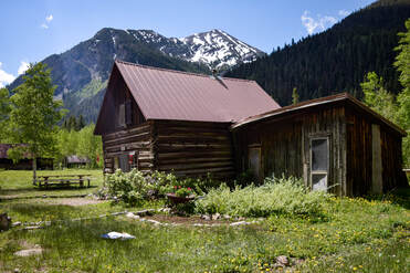 The small store in the "ghost town" of Crystal. The small store in the "ghost town" of Crystal. We made the quick drive up the road, and before we knew it, we were standing in the once-abandoned mining town. Crystal was once powered by the mill we were just visiting and is a very interesting place. It is called a “ghost town”, yet you can rent cabins or find college students living and working in the town for the Crystal Mill Ranch.
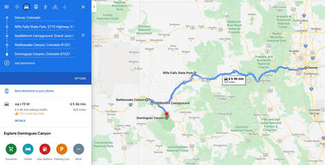
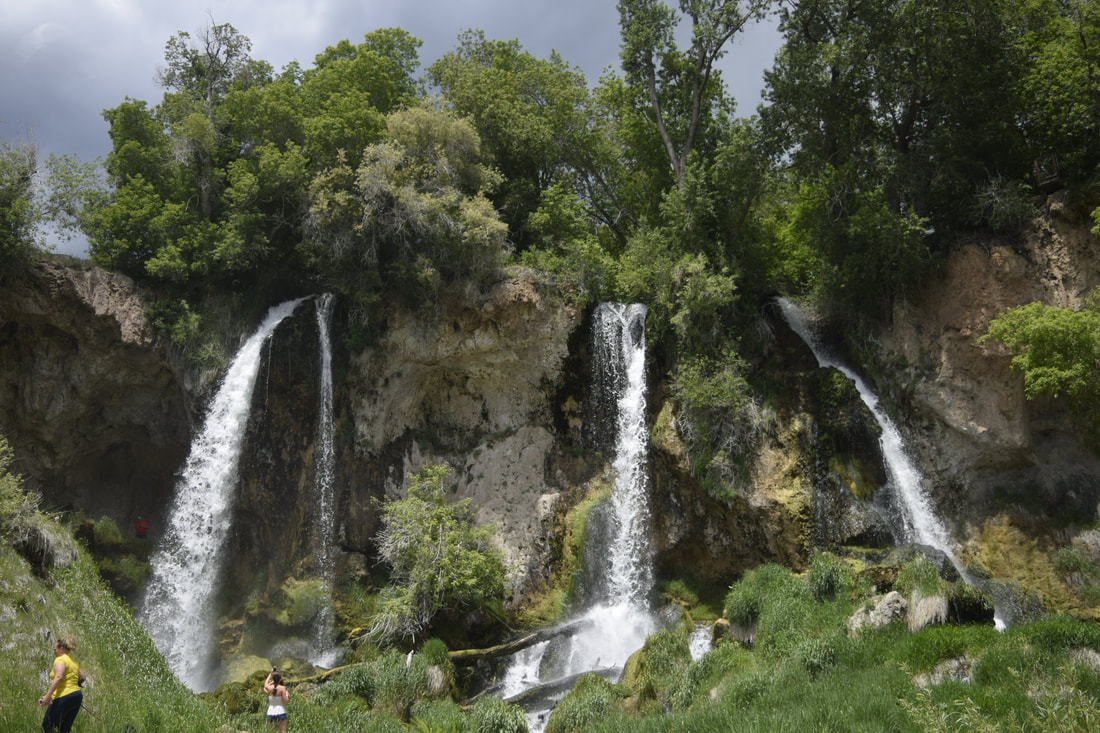
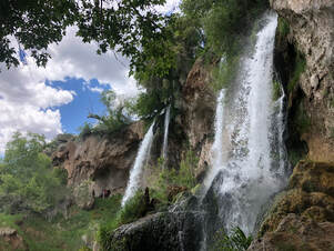
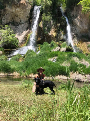
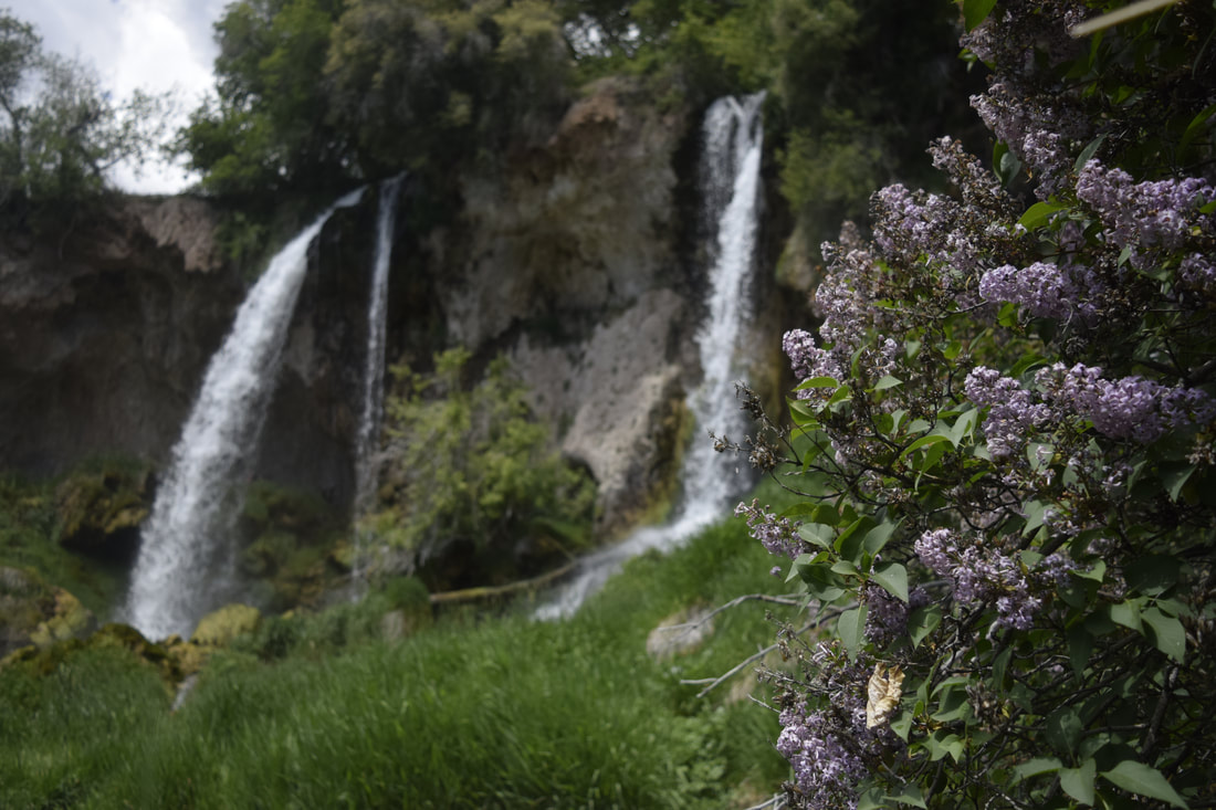
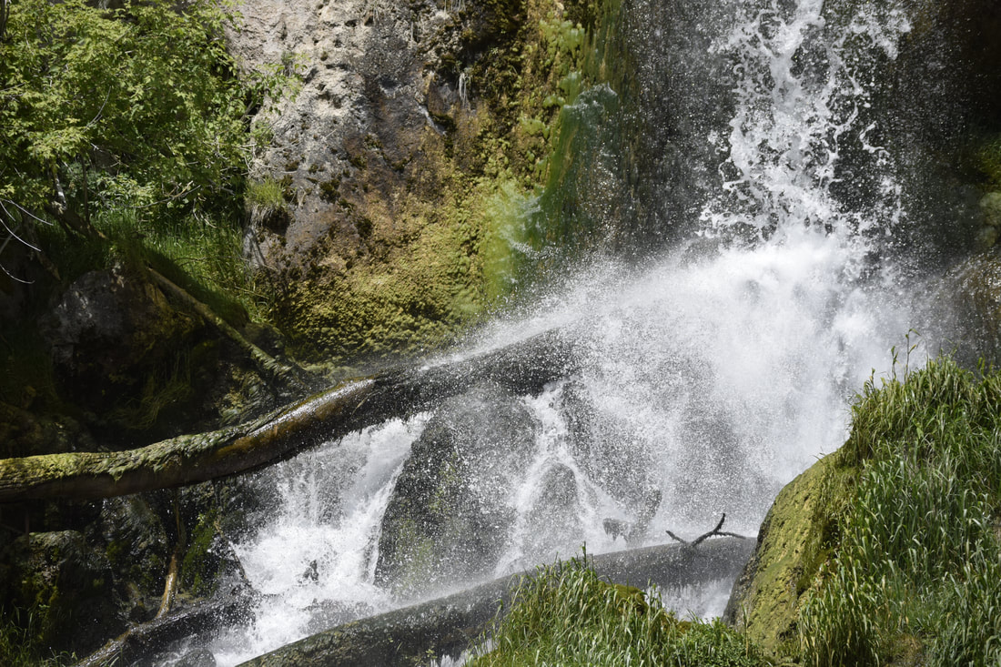
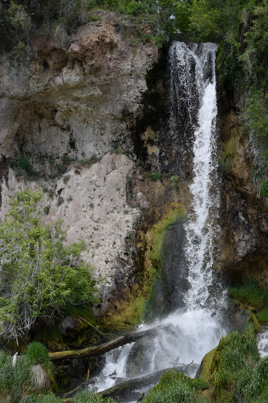
We pulled out of Marble with gigantic smiles on our faces laughing and reminiscing on how perfect the entire morning had been. We all agreed that this was the absolute best way we could have driven up to Crystal Mill, and as soon as we pulled out of RPS Rentals, the rain started. We all shared one last, big laugh at the perfect timing of our visit and headed over to Slow Grooving for a delicious bite of bar-b-que. 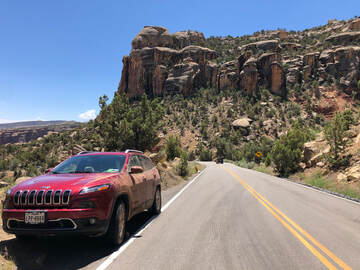 Although I am relatively new to camping and backpacking, having only taken my first-multi night trip last summer, going on my first solo backpacking trip seemed like a right of passage I was ready to take. When plans fell through with a group of friends, and my time off from work was approved, I felt it was the perfect time to see of what I was capable. I am a strong believer that everything happens for a reason, and my trip with friends falling apart was the first of many things that reaffirmed my belief this weekend. Everything didn’t go as I planned, and it was a serious roller coaster of ups and downs, but the highlights overshadowed every rough patch along the way. Before I left Denver, I made plans to head west toward Grand Junction, Colorado, to backpack through Rattlesnake Canyon. I planned to camp at nearby Colorado National Monument before hiking out to and sleeping under the arches of Rattlesnake Canyon. On the way to Rattlesnake Canyon, I planned to stop at Rifle Falls State Park. After exploring Rattlesnake Canyon, I was going to stop and hike Dominguez Canyon on Sunday for a relaxing swim before my drive home. Rifle Falls State Park: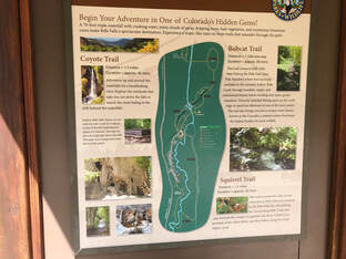 A map of the trails in Rifle Falls State Park. A map of the trails in Rifle Falls State Park. Everything went off without a hitch the first day, and I left Denver around 8 a.m. to head to Rifle Falls State Park. After a few stops and breakfast in Glenwood Springs, I arrived at the park around 11 a.m. It is a very small park, and it was packed this Thursday morning with campers and other visitors. You can read more about my afternoon in Rifle Falls in this separate blog post HERE! 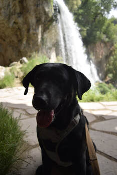 Maria behind the waterfalls. Maria behind the waterfalls. I have to admit, I wasn’t completely alone on this road trip, because my pup, Maria, joined to keep me company. We quickly hopped out of the car and could already hear the waterfalls flowing! We were both excited to see what was up ahead. Maria led me up a path that took us behind the waterfalls before we ever saw them all from the front. It is a very short walk from the parking lot to the falls, so it wan't take long before we were standing in the glory of these magnificent, lush waterfalls. We started exploring behind the rushing waters discovering there are also caves all along the rock formations! We explored every nook and cranny we could find and fit into. It was so much fun exploring around these dark, mysterious, and natural creations. 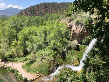 One of the viewpoints from above the falls. One of the viewpoints from above the falls. After the caves, we took the staircase to the top of the falls. We followed the trail along the edge of the cliff looking over the extremely dense vegetation below. Bushy trees lined the edges of the small crystal-clear river that fed from the falls. The entire scene was magnificent, and we stopped at every ledge to get a new view. 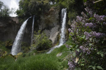 Blooming flowers watered by the falls' mist. Blooming flowers watered by the falls' mist. We finally came back down to see the falls head-on, and they were even more spectacular from this view than they had been from behind or above - which I didn’t even think was possible. Flowers were blooming in the bushes all around, and fish were swimming right up to the mouth of where the three falls’ waters combine. It felt for a moment like I could have been standing in the closest thing to The Garden of Eden I might ever witness.
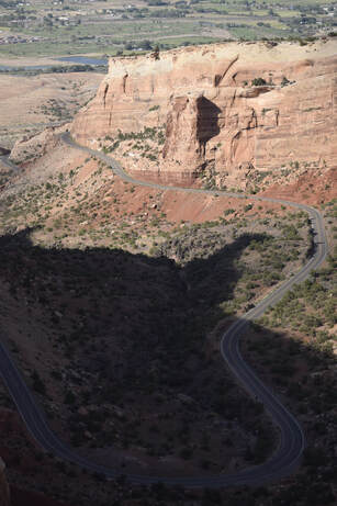
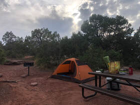
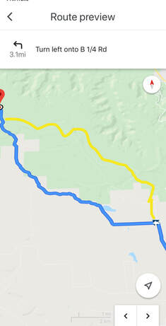
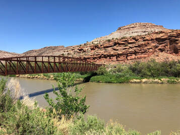
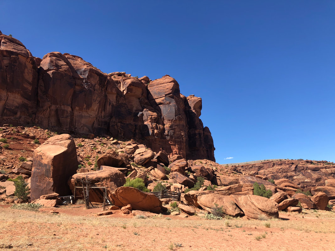
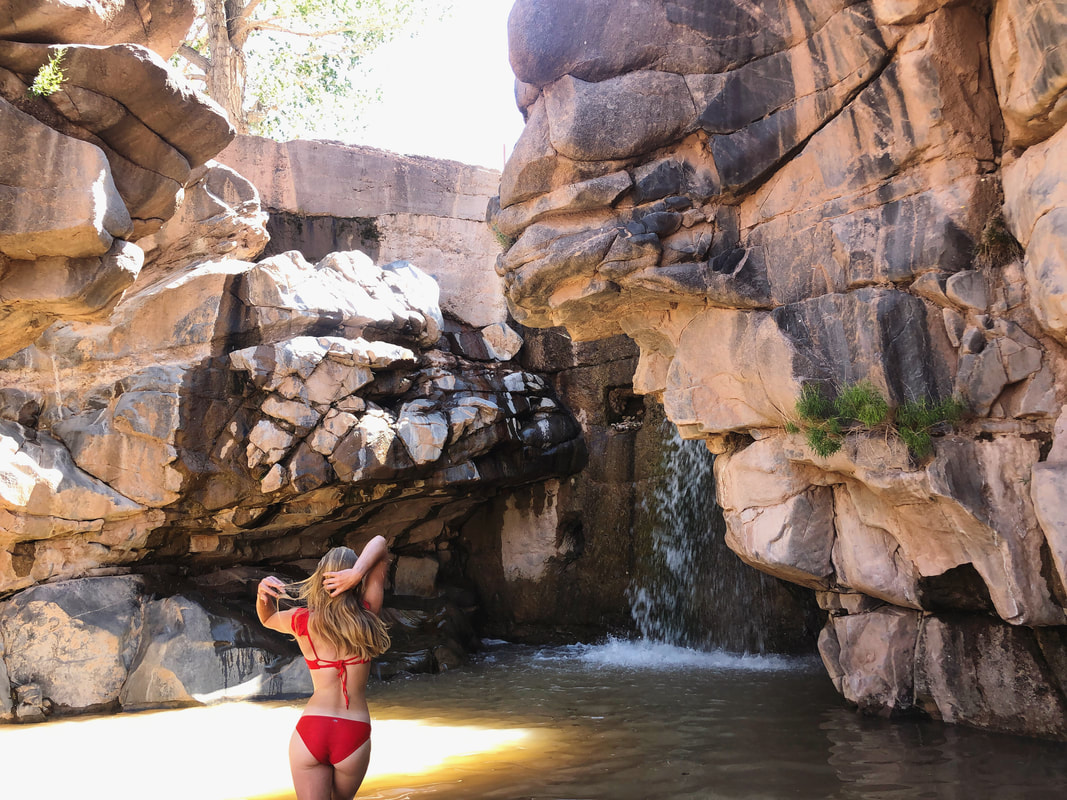
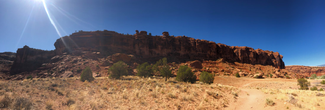
Colorado National Monument:I had reserved a campsite inside The Colorado National Monument at the Saddlehorn Campground through the recreation.gov website. It was about 2 hours from where I was, so I hit the road and arrived around 6 p.m. I set up my tent and organized my items before I pulled my chair out and set it up to watch the sunset. That night, I realized I had forgotten to pack the propane tanks for my JetBoil trail stove, so I went back into town to get one the next morning. This put me far behind schedule. My 6 a.m. start time was intended to get me on the trail before the day’s heat, but after the extra stop and a few wrong turns, I didn’t get to the trail head until almost 2 p.m. When I finally arrived, I ran into another set of issues. McInnis Canyon/Rattlesnake Arches: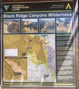 The map of the McInnis Canyon area. The map of the McInnis Canyon area. First, I discovered that Rattlesnake Canyon is actually day-use only. I am not sure if this was a recent change or if the posts I had seen of campers were just rule breakers, but I decided to change my plan. Instead of spending two or three days in the arches, I was now limited to just a few hours. I switched my gear from my large overnight pack to my smaller day pack, and tried to get on with hiking. 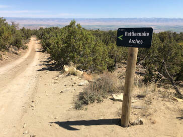 Driving up to Rattlesnake Arches. Driving up to Rattlesnake Arches. My next issue was the time of day and heat. I was hitting a desert trail at the absolute hottest part of the day with a big, black dog. The Rattlesnake Canyon upper arches trail is an 11-miles out and back. We made it to the bottom of the canyon and reached a sign that read 2.2 miles one-way to the next destination. Maria was sitting under a tree panting, and I had already given her a few bowls of water. I knew the heat was getting to her, and I made the safe choice to head back up the canyon after only making it one and a half miles. I made the right decision and got Maria back into cooler conditions just in the nick of time. I cooled down the car for her, and we drove out of the canyon. Since Rattlesnake Canyon hadn’t worked out, I had an alternative plan to hike the nearby Mee Canyon which allowed backpacking and camping. You can read in more extent about the tail and the conditions that caused us to turn around in a more extended, detailed blog post HERE! 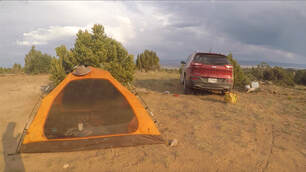 My campsite near the Mee Canyon trailhead. My campsite near the Mee Canyon trailhead. We drove all the way back down the same rough dirt roads I had driven down a few hours ago, and turned toward Mee Canyon halfway out of the McInnis Canyon area. Just past the trail head was an empty site with an established fire pit. I decided it was the perfect place to set up camp to get an early start in the morning. I set up my tent and got some dinner cooking. As soon as I finished my meal, the weather flipped and went from hot and sunny to cloudy, windy, and chilly. I could tell a storm was rolling in. 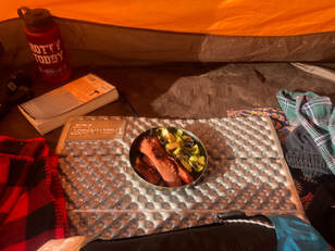 Eating dinner in my tent to protect from the wind. Eating dinner in my tent to protect from the wind. I put on the rain cover for the tent and got Maria inside. It didn’t seem like the storm was too bad at first. Within a 30-minute window, though, the winds picked up to what I later read was over 60 miles per hour and nearly ripped my tent apart. Even with me and Maria inside the tent was lifting up around us, and the stakes in the ground were barely holding us down. I made the split second decision to pack up and get in the car. 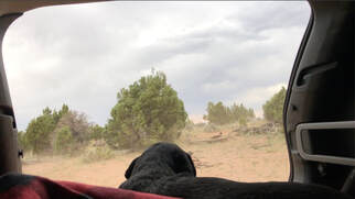 The view from the back of my car after I packed up our camp. The view from the back of my car after I packed up our camp. I quickly unsnapped the rain cover, pulled out the poles, and pulled up the stakes. I threw the entire tent and all of its contents inside my car. I collapsed the poles and got them inside before having to carry Maria to the car. I managed to get everything safely put away just seconds before the downpour started. It rained all through night, well into the morning, until almost noon. When it finally broke, I rearranged the car so that it was drivable and took off as soon as I could in fears the rain would start again at any minute. All of these issues that had kept me from camping in Rattlesnake Canyon may have saved my life. Any sort of flash flood, lighting strike, or wet / cold conditions could have been devastating more than 5 miles away from shelter. It was crazy to think about as I was white-knuckle driving out of the steep, muddy canyon. Dominguez-Escalante National Conservation Area: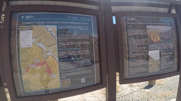 Dominguez Canyon trailhead. Dominguez Canyon trailhead. By the time I got back onto pavement, the storm had completely passed and the sun and heat had both returned. I set my directions toward Dominguez Canyon and drove an hour south to embark on a trail recommended to me by some friends. Little did I know how great their recommendations were. 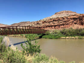 Crossing the Gunnison River. Crossing the Gunnison River. Dominguez Canyon is one of the most incredible places I have been in Colorado, and I have only explored about a quarter of one of its trails, and I was blown away. I liked it because it was a very easy and accessible hike with incredibly rewarding views and surprises inside, all within just six-miles of red rocks. You can see more from this spectacular place in another blog post - which you can find HERE! Maria arrived in the late afternoon, but this time, heat wasn’t a concern. The trail followed right along the Gunnison River, so Maria had ample opportunities to cool down. Plus, the rain had brought the temperature down and carried in a massive breeze. It made the hike that much more enjoyable. 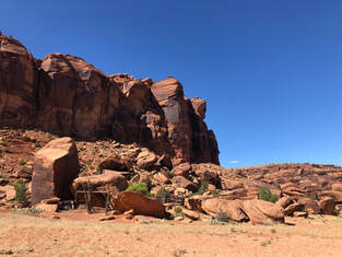 An old time horse corral. An old time horse corral. After getting to the bottom of the small hill I had parked on about a mile down the trail, we crossed over the Gunnison River and took a left to the Big Dominguez Canyon (as opposed to the Small Dominguez Canyon). Now, we were up close and personal with the bright, red rocks towering in front of us. We walked along the trail for about another mile until we reached the mouth of the Big Canyon. It was here where another incredible thing that most definitely would not have happened if I was still in Rattlesnake Canyon. Maria attracted another dog from one of the nearby camps, and when the owners and I retrieved our pets, one of them recognized Maria and instantly asked if he had met me before. It turns out that we had met just a few weeks ago while I was camping at Radium Hot Spring! It was a wild, one-in-a-million type encounter. We both couldn’t believe it, and I told them I would stop back by to hang out after I did a little more exploring. 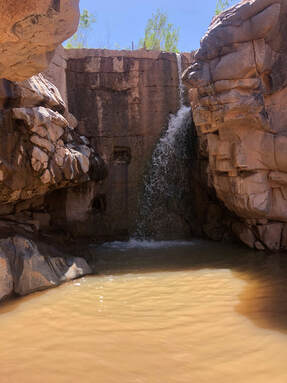 A waterfall and swimming hole in the Big Canyon. A waterfall and swimming hole in the Big Canyon. I walked past their camp just another half mile to find a swimming hole perfect for cooling off and relaxing, and I had it all to myself! I swam and enjoyed the incredibly serene spot until another group showed up. The group told me about another swimming hole up the river and about some ancient petroglyphs in the rocks. They said they were about a mile and half up the creek, and I decided that was a bit too far for this trip, so Maria and I dried off on the nearby rocks before stopping back by to see our friends. 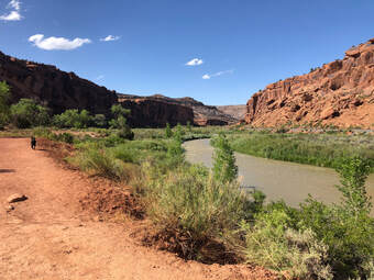 Following the trail back up to the car. Following the trail back up to the car. We hung out till the sun started to go behind the canyon walls. We all exchanged contact info and were still talking about how mind blown we were that we had all come together in this incredible place. I said my goodbyes and told them that I would see them soon! The hike back out seemed even easier than the hike in, and we were back in the car in absolutely no time. We drove out of the trail head road, turned down a different one in the same Dominguez-Escalenate Public Lands area, and drove to a campsite I had been recommended. 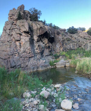 The creek below the campsite I set up at in the Dominguez-Escalante Public Lands. The creek below the campsite I set up at in the Dominguez-Escalante Public Lands. It was about 15 miles down the road and perfectly secluded inside of this picturesque canyon. It was somehow desert-like yet featured trees and a river. It was almost magical. I walked down to the river and rinsed off my body and all of my cooking supplies before setting up camp. The spot had a designated fire pit, and I started one to cook some sausage over the open flames. After dinner, I stayed up until the stars came out to see the constellations over the tall, orange walls. When it got late, I crawled into bed and slept throughout the night peacefully and undisturbed. You can see more from this spectacular place in another blog post HERE! Glenwood Springs: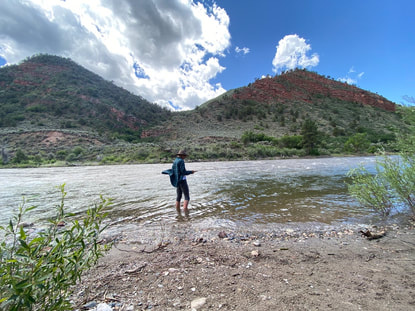 The next morning, I reached out to the friend whom I had met at Rifle Falls State Park earlier in my trip. We decided to get together to do a little fly fishing. Again, if my plans not been changed, this opportunity would have never presented itself! We met just outside of Grand Junction and threw our lines on the Colorado River. We saw dozens of fish over the course of the day. Some were just feet away from us, yet neither of us were able to catch a thing. It was frustrating, but the company was so enjoyable and the views were so great that we didn’t let it get us down. We eventually packed up and agreed we would have to try this spot again another day. Even though we didn’t catch anything, it was a perfect way to end my trip. Trying a fishing spot with a new friend was exactly what I needed to cap my first ever solo road trip. When I made it back to Denver, I couldn’t believe what all I had been able to see and accomplish in those few short days. I was extremely proud of myself for sticking to my guns and doing what I wanted to do, because it led me on the most incredible journey and introduced me to places and people I know I will be seeing again soon! 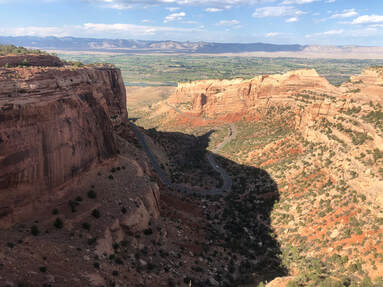 The western slope of Colorado is truly unlike the rest of the state. Once you cross over the Rocky Mountains, you enter the desert, and the desert holds different, secret places to explore. I took my first trip out to this area during my June 2020 solo road trip (which you can read all about HERE!) with the main goal being to spend two nights backpacking in McInnis Canyon and camping under the Rattlesnake Arches. Behind Arches National Park in Moab, Utah, McInnis Canyon holds the second highest concentration of natural arch formations on Earth! Somehow, I didn’t find this out until I had been living in Colorado for two years. This area seems to be overlooked by travelers in general. To me, this meant solitude which means perfection.
When I finally got back on the road to Rattlesnake Arches, it was much later than I had intended. I had read on AllTrails not to follow the site's directions to the trail, but I had forgotten in the moment and ended up at the wrong location. I was miles from where I needed to be but in the right area. Instead of following Google Maps, I located the trailhead on the map and roughly followed the roads that seemed to lead there. I was essentially using it as a traditional map. Several times, I thought I was lost, because the road into McInnis Canyon is very long and quite scary at some points.  Driving to Rattlesnake Arches. Driving to Rattlesnake Arches. The pavement ended, and the trail alternated from dirt and mud, to gravel, to large rocks. Not only was my 4WD necessary, but my high clearance was too. I actually didn’t make it all the way to the Rattlesnake Arches Trailhead. I stopped just about a quarter mile shy of it thanks to an extremely rocky slope that would’ve been hard to climb back up. 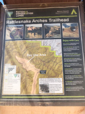 When I finally got to where I was supposed to be, I was ecstatic. I was the only one in the parking lot, and I would have the arches all to myself for the hike and the night. All that excitement faded quickly when I discovered that the arches are a day-use area only. I had no idea what I was going to do for the next few days, since my plans had been derailed. It was getting late in the afternoon, so I didn’t have much time to think about what I should do. I quickly switched my most important gear to a smaller daypack and set off on the trail. 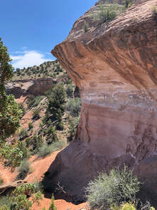 Walking down into the canyon. Walking down into the canyon. It was 2 o’clock in the afternoon and the sun was absolutely beating down. I was highly aware that there is no water on this trail, and I made sure to pack plenty for both me and my dog, Maria. It was easily over 100 degrees when we started. The entire trail is 11 miles long round trip. It takes 4-5 miles to complete the lower trail and another 3 to do the upper. Either of these routes can be chosen after you walk a mile and half into the trail. Maria and I only made it about a mile past the trail's split into upper and lower and found ourselves at the bottom of the lower canyon - panting and hot.
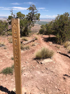
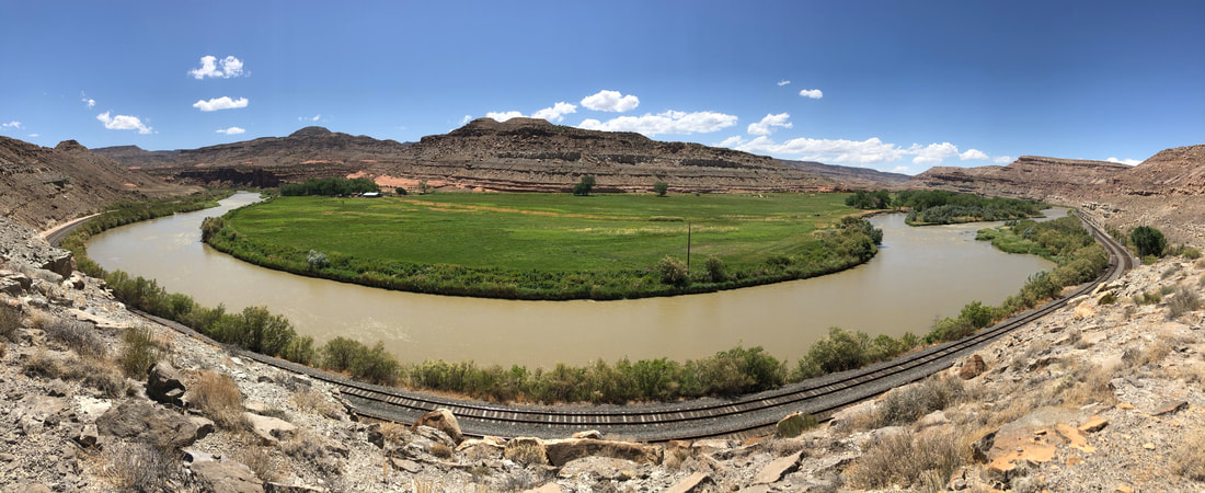
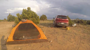 My nearby campsite for a second attempt. My nearby campsite for a second attempt. It was the toughest decision I had to make all weekend, but our safety absolutely overrules the desire to see some cool formations. Things got a little hairy, but we survived and were fine once the A/C started blowing into in the car. At this point, I hoped that we could try again the next day or try the nearby Mee Canyon trail which is significantly shorter. I drove out to the edge of the day-use area Rattlesnake Canyon and set up camp for the night. The decision to leave the trail when I did, set up camp and subsequently also take it down, when I did, might have all saved my life. A major stormed rolled in over night and if I had been camping I might not have made it. I write all about this entire, wild experience in my extended Solo Western Colorado Road Trip blog post, which you can read all about HERE. My trip might not have been perfect, but it was an adventure, and it definitely gave me new stories to tell. I’ll always be thankful for this solo experience, and I will definitely be back to explore Rattlesnake Arches on a much safer trip. 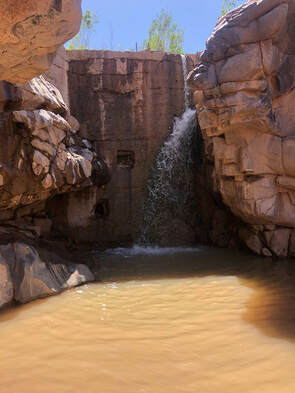 Colorado never ceases to amaze me. Every time I go somewhere new, I am blown away and I swear that it is my new favorite spot. Dominguez Canyon is another Colorado landmark that left me absolutely dumbfounded and is undoubtedly one of the greatest places in Colorado. I only explored a tiny fraction of the canyon, and I am convinced that this will always be one of my favorite places in Colorado. If you want to see the entire road trip I visited this canyon as a part of, please check out my Western Colorado Road Trip blog post HERE! 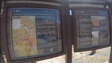 The map at the Dominguez Canyon trailhead. The map at the Dominguez Canyon trailhead. My dog, Maria, and I hit the trail in the late afternoon on a Saturday in June. Even though it was late in the day, there was only one other couple at the trailhead and fortunately, a storm had rolled through the day before, so the ground was nice and cool and a massive wind was whipping through the canyon. You can see more from my entire afternoon in the canyon on my YouTube channel HERE! The canyon is pretty large and has several different trails. I set out with intentions of getting as far as I could and hopefully finding one of the swimming holes I had seen online located inside of The Big Canyon.
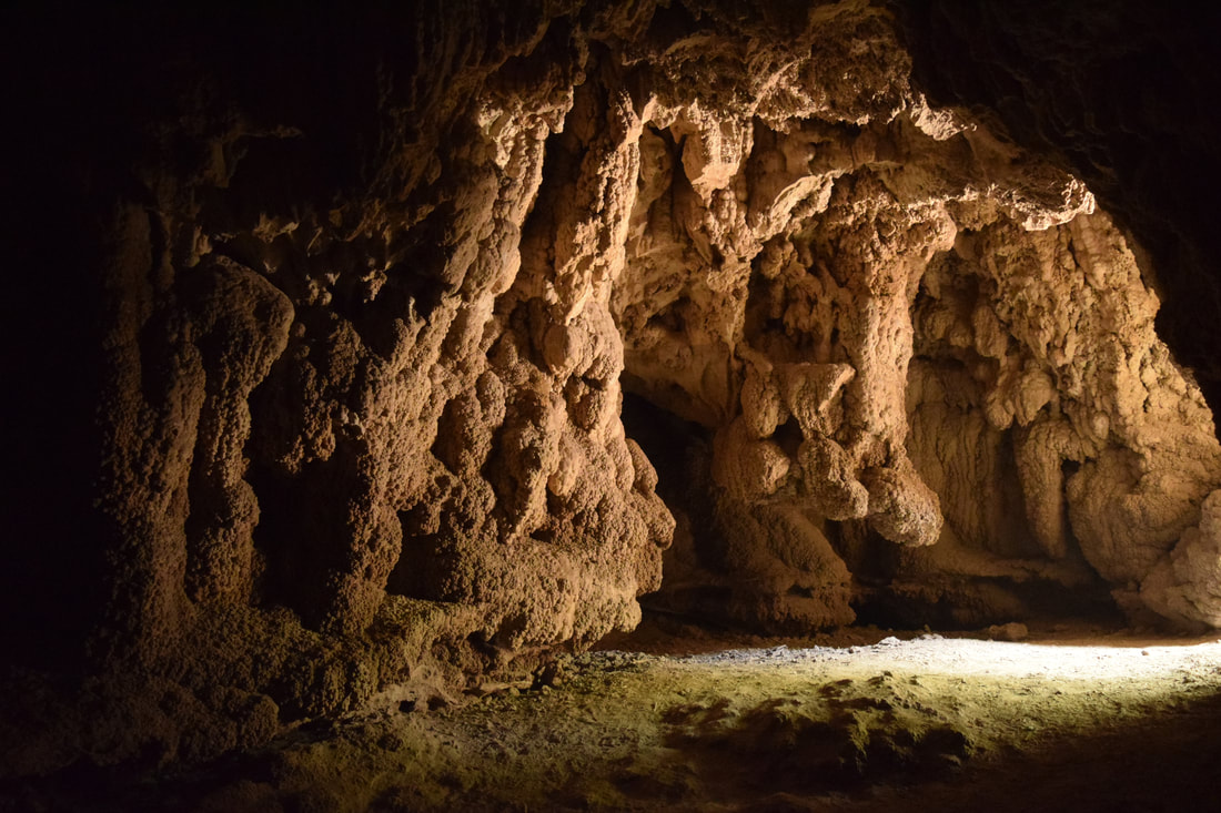
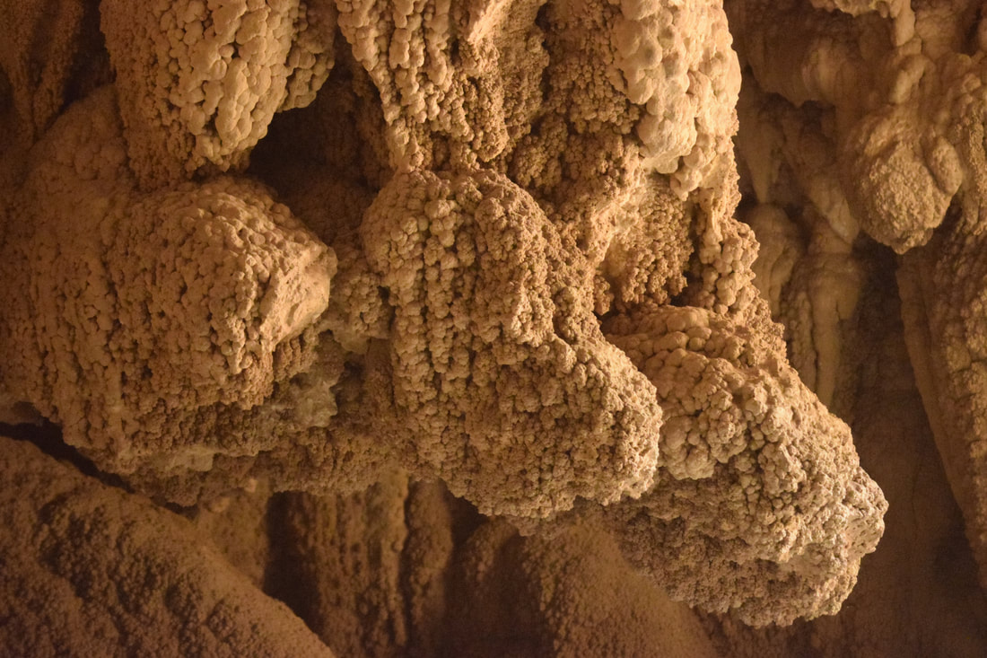
When another group showed up, we decided to pack up. The other visitors said that there were more swimming holes further into the canyon, and that there are petroglyphs carved into the rocks along the trail. I noticed how low the sun was getting and made the choice to save all of those incredible-sounding things for another trip. On the hike out, I saw lots of rafters setting up camp, so I decided that my next trip to the canyon needed to be an overnight backpacking trip! I left this canyon happier than I could have ever imagined. I felt like I had found a secret gem that very few other people had seen. I am sure this wasn’t true, but I don’t know anyone who’s been. Now, I can’t wait to share the magnificence of this place with John and my other friends! You can watch even more from Dominguez Canyon on my Youtube channel here! 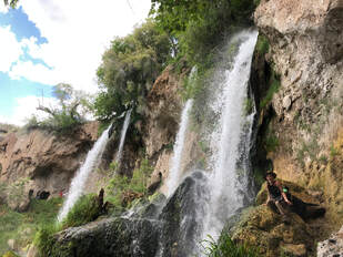 Rifle Falls State Park was the first stop I made along my western Colorado road trip from Denver to Grand Junction. This park had been high on my list for a very long time, and I was so excited to finally be heading to these beautiful waterfalls. If you want to read about my entire Western Colorado road trip check out my blog post HERE! I left Denver on a Thursday morning and arrived soon after at the park’s ranger pay station. I have an annual state parks pass sticker on my front windshield, so I passed through without stopping. 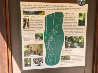 There are 3 different trails in Rifle Falls State Park. There are 3 different trails in Rifle Falls State Park. The park is very small and so is its parking lot. I pulled into the last open space around 11 a.m. I leashed up my dog, Maria, and we set out on the trail into dense forest. It is a very short walk from the parking lot to the bottom of the falls, and we could hear the water rushing the entire time. If you would like to watch more from my visit to Rifle Falls State Park please head over to my YouTube channel HERE! 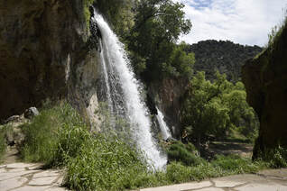 The first view we saw of the waterfalls. The first view we saw of the waterfalls. We walked through the trees up to a platform where we finally lay our eyes on the falls for the first time. I was blown away. Everything around the water was incredibly lush and green. It seemed like we were exploring a tropical oasis instead of the Colorado mountains, and I couldn’t wait to see more. 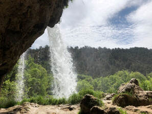 The view from behind the waterfall. The view from behind the waterfall. The sounds, sights, and smells excited Maria, and she led me up a path that took us behind the falls. We could feel the mist blowing off the falls as we explored behind the falls. Maria and I stayed on the trail and discovered a cave! The falls cut through limestone rock and hollows out and erodes the rock shaping it into caves. Maria sniffed out the cool air blowing through the rocks, and we squeezed our way in! The walls of rock opened up to a dome of natural formations poking out from floor to ceiling. We walked and crawled around as much as we could before Maria led me back into the sunlight. This was just the first cave of many we would find and explore at Rifle Falls State Park 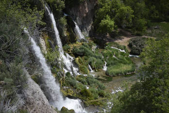 The view from one of the stop offs on the upper trail. The view from one of the stop offs on the upper trail. Next, we took a staircase and followed a path along the cliffside and eventually to the top of the falls! Along the way, sturdy platforms developed by the Colorado Parks and Wildlife Department allowed us to look down into the magnificent area. 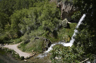 The trail then led us above and over the falls. Maria hopped in the water as quickly as she could, but I pulled her out, so we could take the bridge to the other side of the water. The views from above were spectacular even when I discovered that one of the falls isn’t natural. 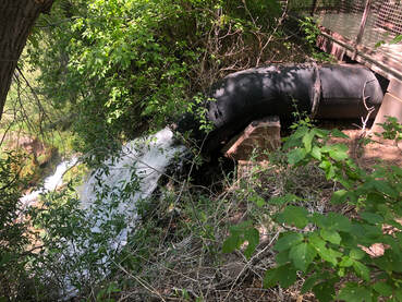 An old pipe funnels the water for one fo the waterfalls through it. An old pipe funnels the water for one fo the waterfalls through it. The water’s power was once harnessed to power the nearby town of Rifle’s mining operations, and one of the falls still flows through an old pipe. One of the walkways has a sign that explains the piping system and gives a good view of it. I was disappointed by this unnatural feature and ready to keep walking. Maria and I followed the Coyote Trail to the fish hatchery area. We didn't realize the trail would lead us away from the falls, but it was a nice change of scenery. We saw people fishing and explored more into the park’s canyon area. We saw birds and butterflies flying around the sanctuary area before we finally descended and approached the waterfalls head-on. I didn’t believe that the falls could look any more beautiful than they had from the other viewpoints, but I was absolutely blown away as we stood at their base. 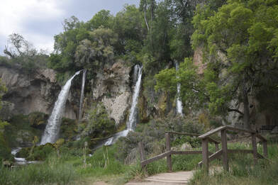 The view coming over from the fish hatchery side of the park. The view coming over from the fish hatchery side of the park. The water that flowed from them was crystal clear, and dozens of fish could be seen swimming in it. Flowers were blooming on all of the bushes surrounding the falls; all being fed by the light mist blowing around and creating rainbows in the sky. I felt as if I were walking in the Garden of Eden.
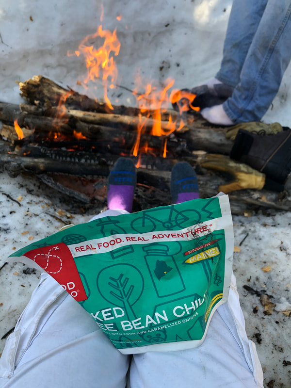
You can watch more from my afternoon in Rifle Falls State Park on my YouTube channel HERE! 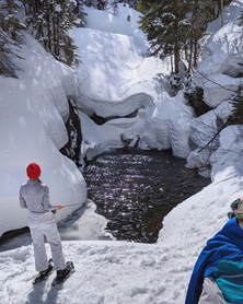 2020 obviously got off to a different start than anticipated. Just about everything came to a halt in Colorado in the beginning of March. I had planned on taking my first camping trip of the year over the first weekend in April. Even after a gloomy March of "quarantining" and a fresh six-inches of snow, I was not going to let anything change my plans. The first weekend of April 2020, John, his roommate Chris, and I Chris set out for St. Vrain Creek inside the Brainard Lake Recreation Area to camp and fly fish for the weekend. 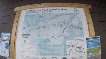 A map of the winter terrain area at the Gateway Trailhead. A map of the winter terrain area at the Gateway Trailhead. We left Denver around 6 a.m. and were in the Arapaho & Roosevelt National Forest, at the Gateway Trailhead parking lot, before 8 a.m. We checked out the map at the ranger station and decided to take the Sourdough Trail north until it crossed the creek and a perpendicular trail. 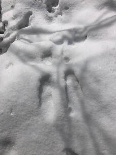 Fresh footprints in the snow. Fresh footprints in the snow. It was only about a mile and a half walk from the car to the trail's intersection, but the freshly fallen powder made the trek more difficult than usual. Luckily, I had my snowshoes and was able to clear a path for the boys to follow safely. We only saw one other person on the trail that morning, and once they passed us, we never saw anyone for the entire weekend. It was just us and our dog Maria alone in the quiet winter wonderland. 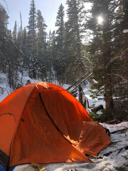 Our campsite along The St Vrain Creek. Our campsite along The St Vrain Creek. It took us about an hour to reach St Vrain Creek. We crossed the bridge over the creek and headed east onto the St Vrain Creek Trail. Right away, we began looking for a place to pitch our tents. The off-trail snow between trees was much deeper and softer. This made searching for a spot even more difficult. Fortunately, we didn't have to search long, because we found a nice, flat area perfect for two tents and a fire pit about two-tenths of a mile off the trail. 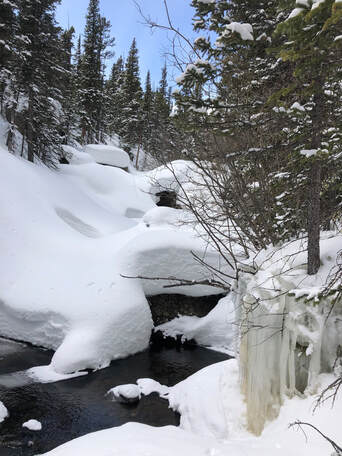 Open water on The St Vrain near our campsite. Open water on The St Vrain near our campsite. Since it was still so early in the morning, we were able to get our campsite set up just the way we wanted it. We set up our tents, dug out a fire pit, and gathered our wood supply before getting our day of fishing started. By noon, we were able to tie on our flies and drop our lines in the creek below us. Most of the creek was frozen over, but there were pockets of open water that we were able to cast into. We knew that the temperature of the water would be a factor from the start, but we still had hope for bites. 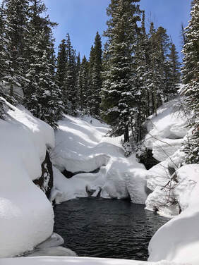 The fishing hole we tried most of the day, with sadly no success. The fishing hole we tried most of the day, with sadly no success. We all had our lines in the water close to camp for a while without any luck, before we started to venture apart. We each had a radio to help us communicate with each other. When I ended up finding a big, open pool about a half mile up the creek, I quickly radioed them both to come down and try their flies. We spent a few hours casting into this spectacular pool, but sadly, it did not provide us with any fish or even any bites for that matter. It was all okay, because the views were perfect and the sunshine felt glorious. We eventually worked our way back to camp and got ourselves and our clothes dried out from the day of hiking and fishing. We started our campfire and warmed our extremities just before the sun crept behind the mountains. It was blazing just in time for us to eat some of the meals we had prepared. John and I cooked a Good To-Go dehydrated meal of Three Bean Chili while Chris enjoyed some homemade rice and beans over the fire. We all had marshmallows for dessert, because I forgot the rest of the s'mores ingredients. Soon after, we called it an early night when the darkness rolled in. 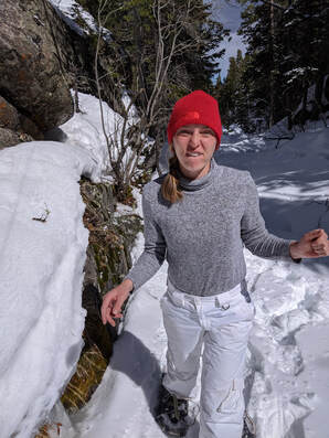 TFW you sadly don't catch any fish again. TFW you sadly don't catch any fish again. The cold seemed to have gotten to each of us during the night, and none of us slept great. This meant we were all up pretty early ready to start the day. The first thing we wanted to do was go fishing. We wanted to explore downstream and see if we could find more open holes. We walked as far as we could throwing lines in all of the small holes along the way, until we were approaching private property. We never found a spot like the one from the day before, so we slowly walked back up to camp to go try that same spot again. 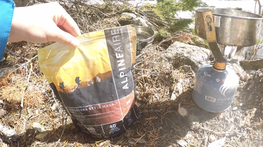 Cooking our lunch at our campsite! Cooking our lunch at our campsite! We made it back to camp and cooked up a late breakfast. John and I used our MSR PocketRocket and our Jetboil Jetpower 8.11 ounce fuel canister to boil water for another dehydrated meal. We had drank the last of the water we carried in, so we filtered some fresh creek water through our LifeStraw Flex gravity bag system. After the water filtered, I boiled and poured it into our Alpine Air Southwestern Style Masa with Beef. The directions said to wait 10-12 minutes, so we took that time to start tearing down camp and packing up all of our gear. 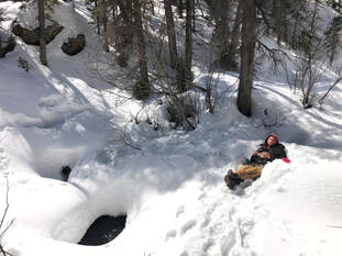 Enjoying our lunch at our campsite. Enjoying our lunch at our campsite. Once lunch was ready and our backpacks were packed, we found a nice place to enjoy our food and soak in the views one last time. We quickly decided we'd rather be fishing, and we started out to hit our fishing hole from the day before. We left our packed bags at the top of the cliff overlooking the hole. After our last climb down, we fished for another hour or so without a single bite. Even without a bite, our time fishing couldn't have been much more satisfying. Even so, we knew the hike out would be mostly uphill and decided to start making our way. The walk back didn't take nearly as long as the walk in did. Our footsteps were still in the snow, so we didn't have to forge our way back up. It was a steep, uphill walk, but it was short and full of beautiful scenery. Before we knew it, we were back at the car. It was a very quick two-day trip, but it was a perfectly successful first trip of the spring! Similar Links:
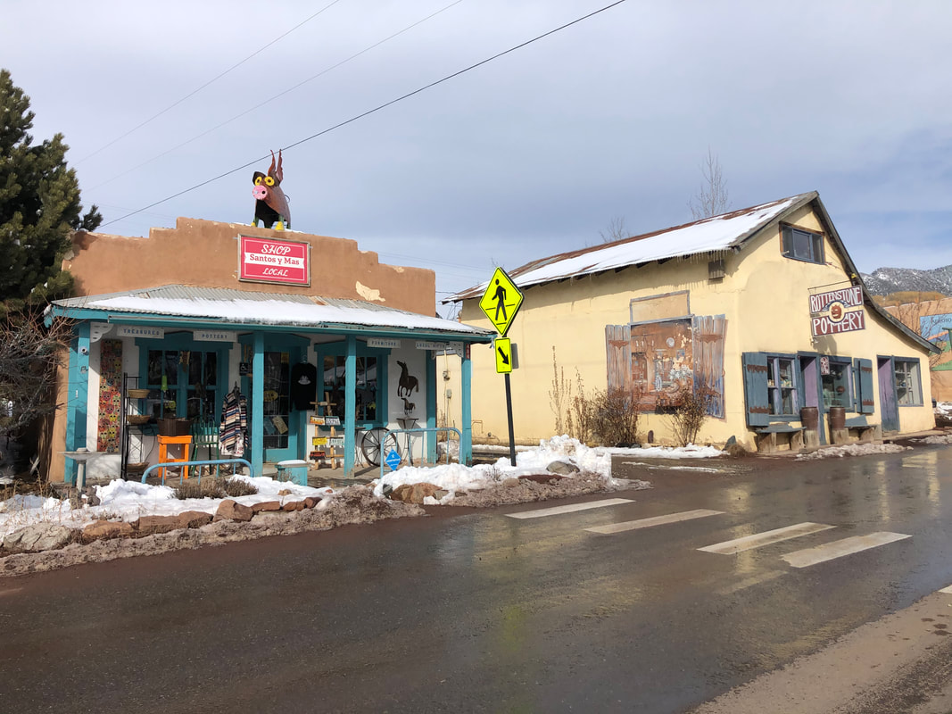
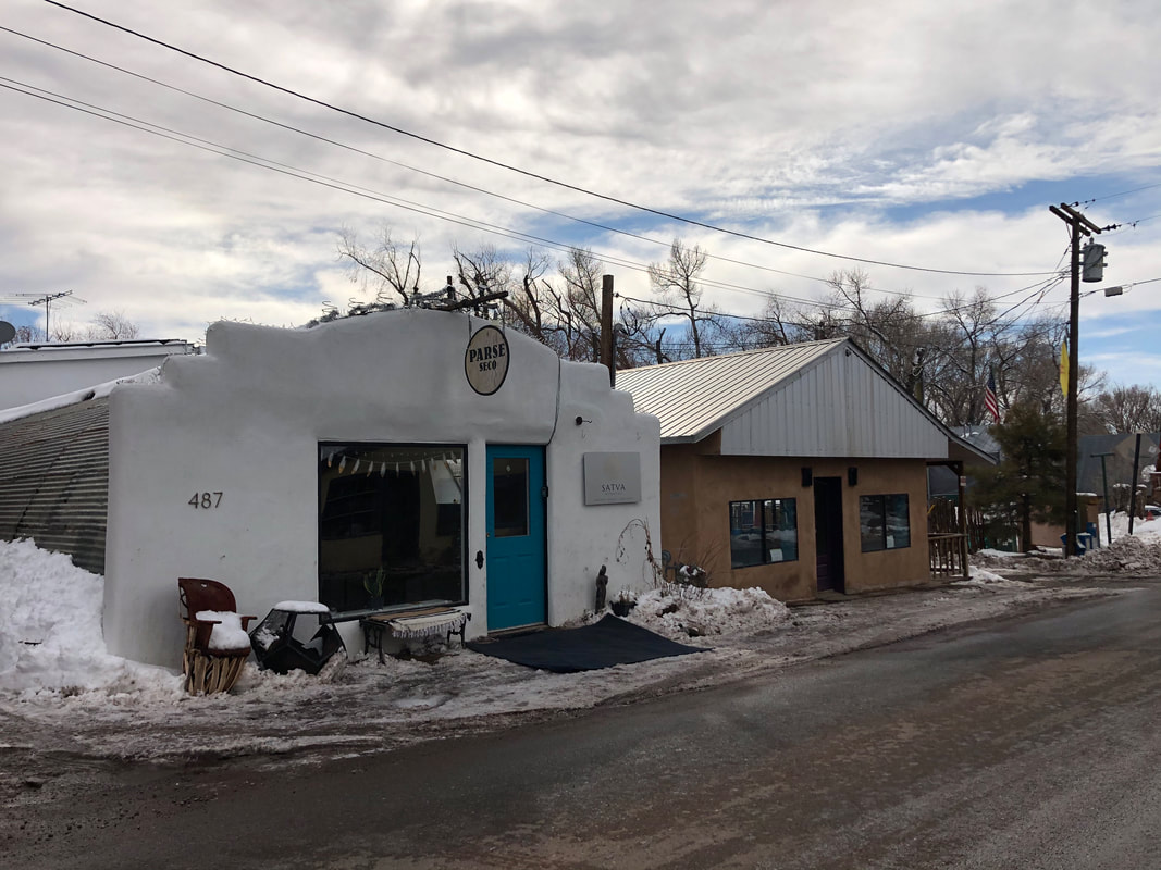
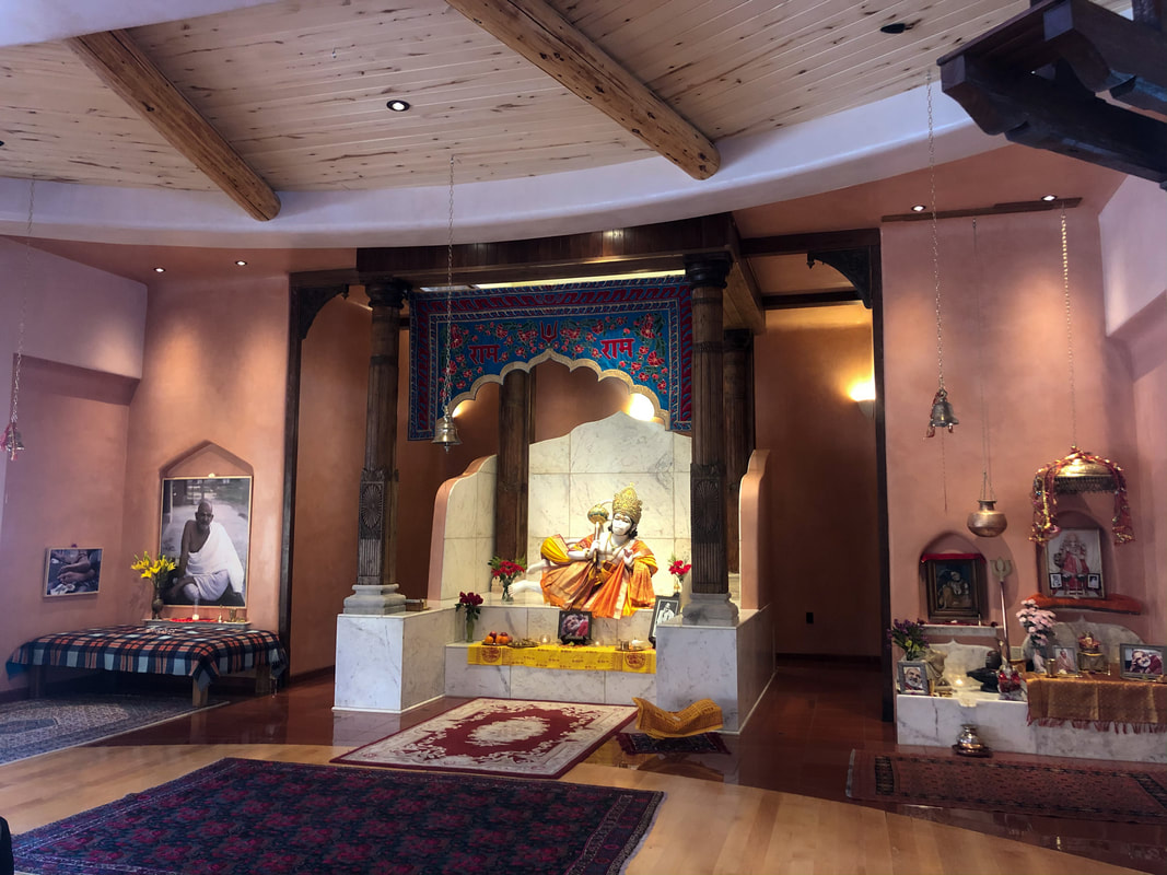
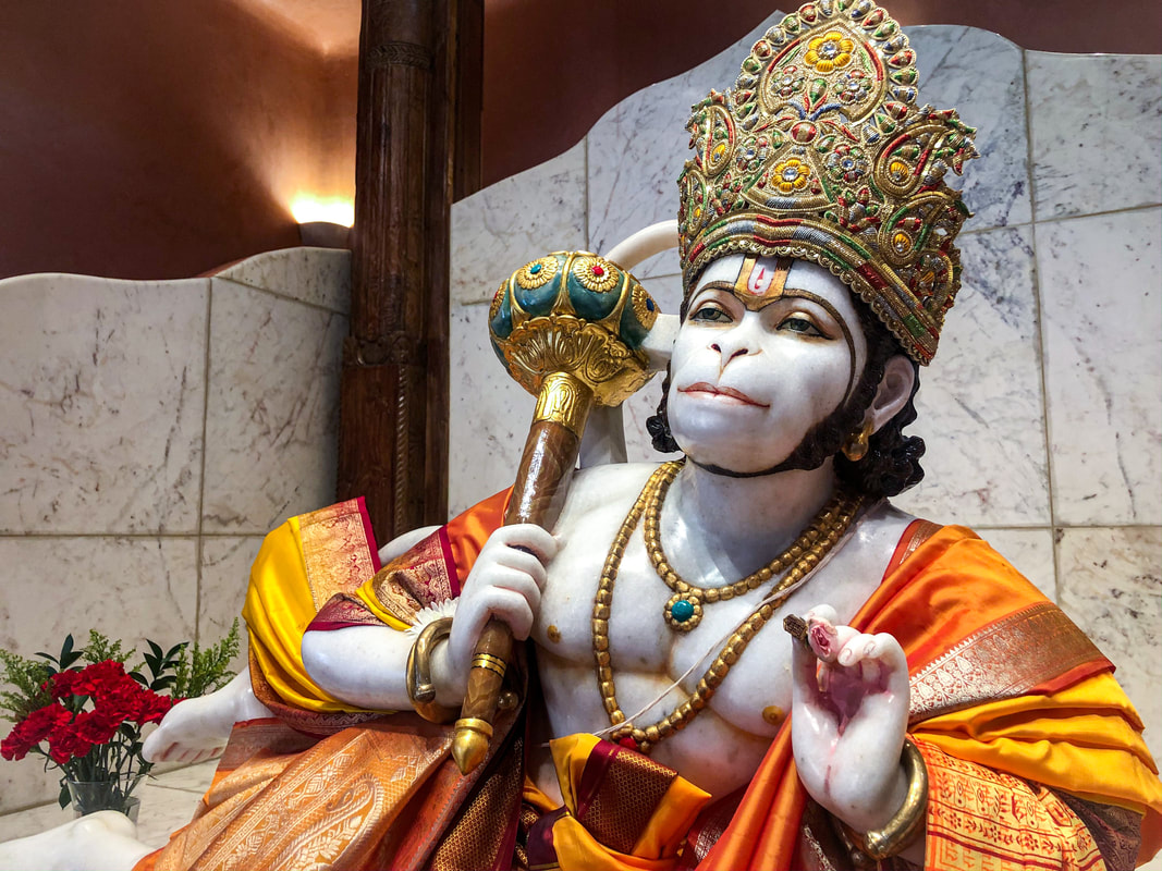
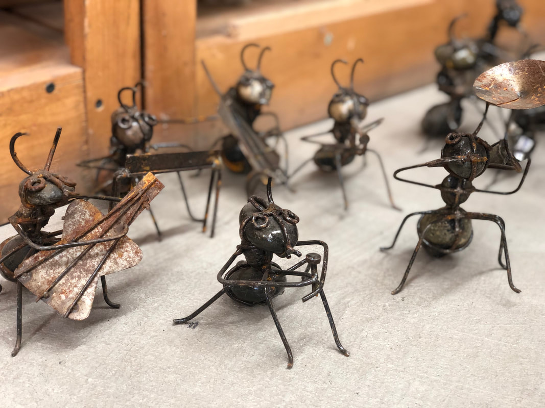
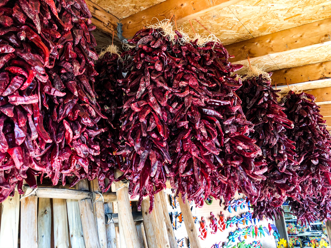
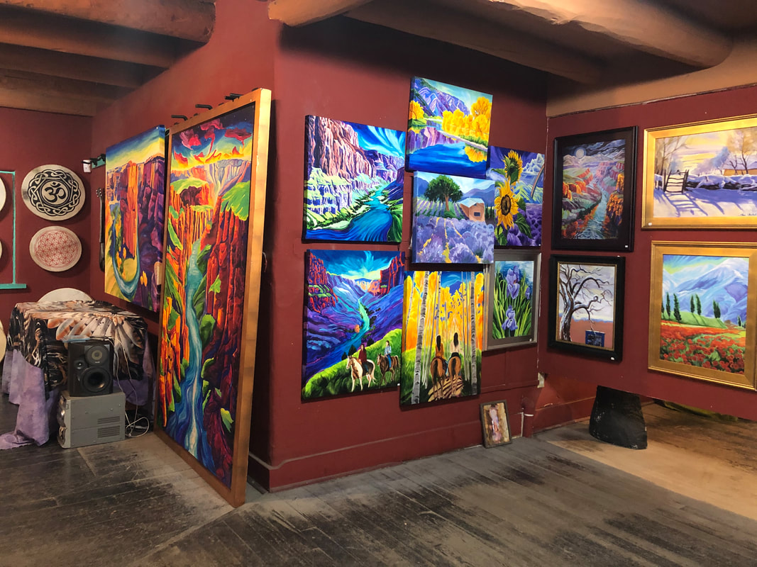
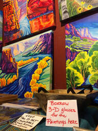
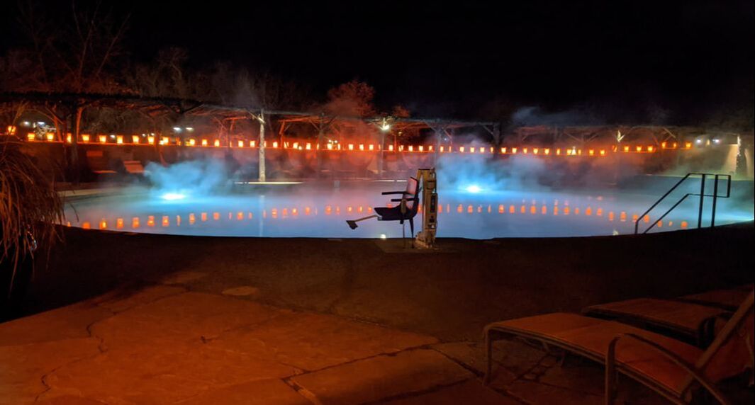
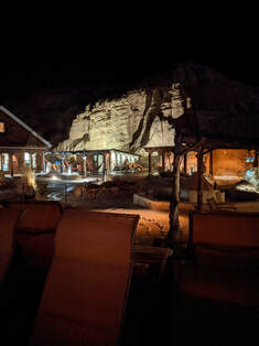
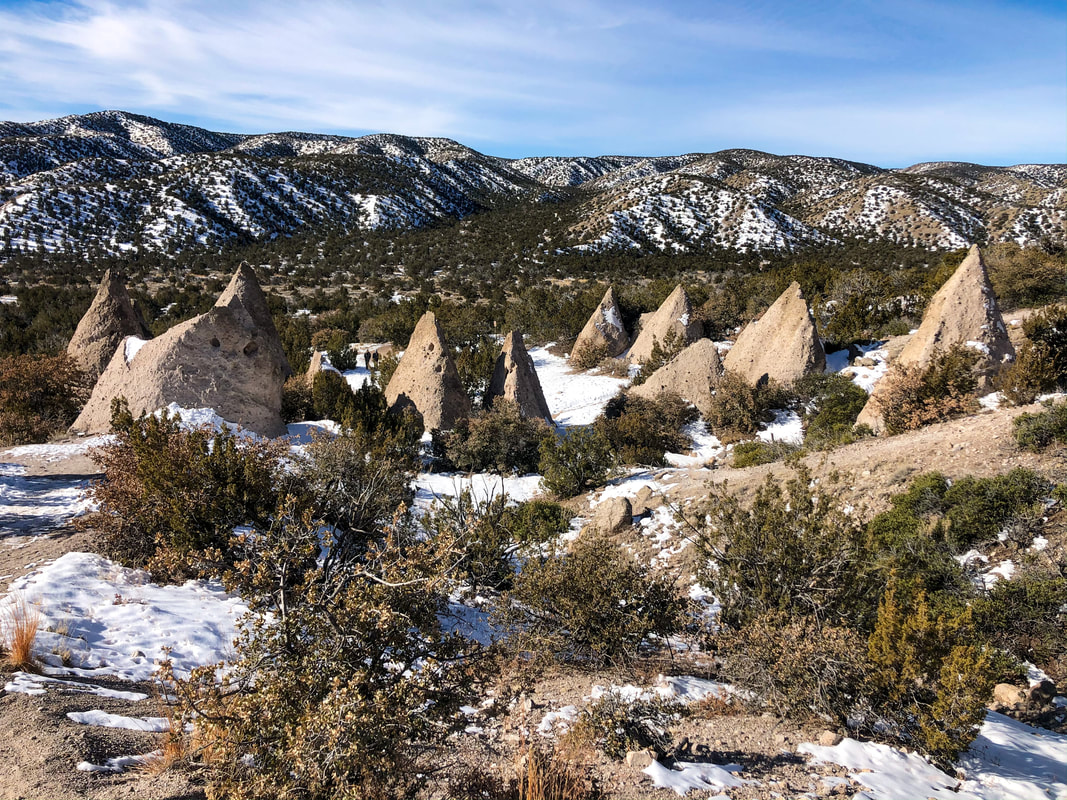
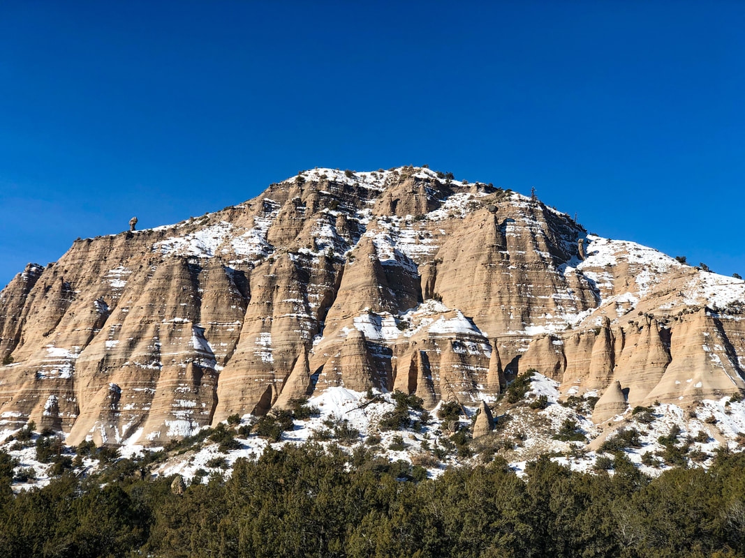
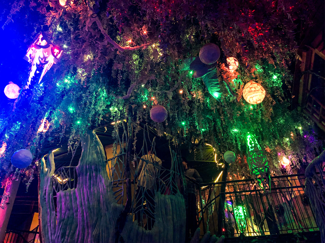
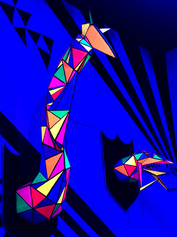
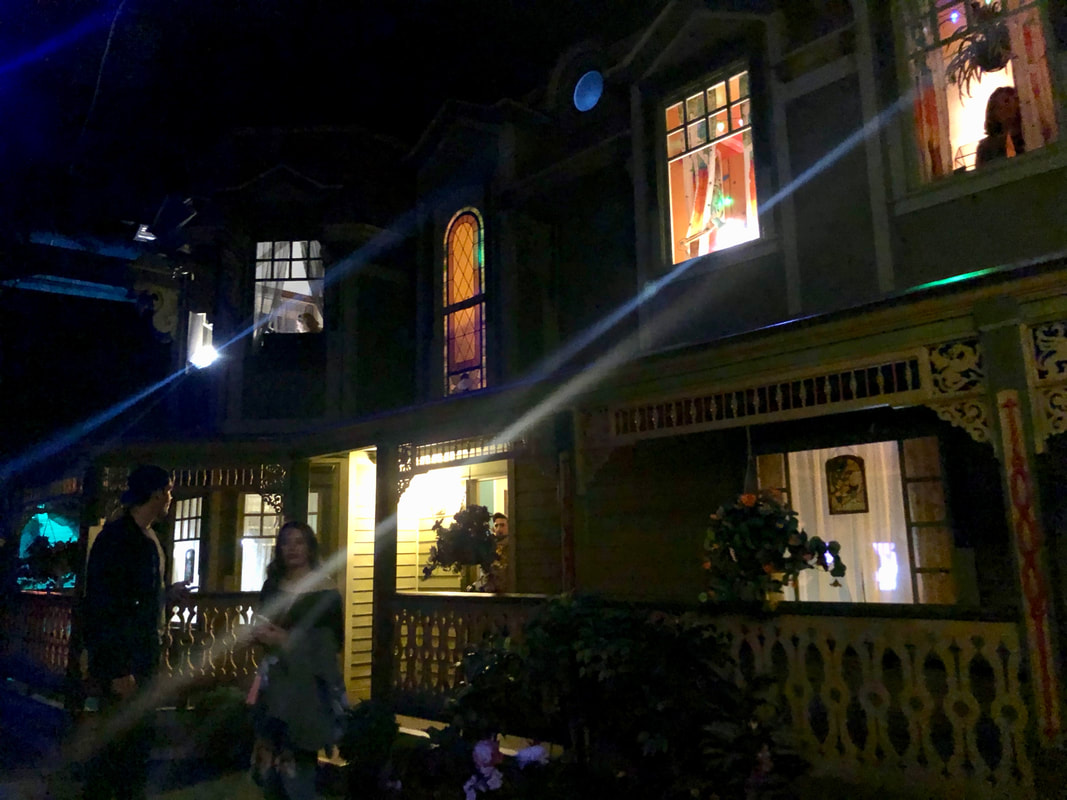
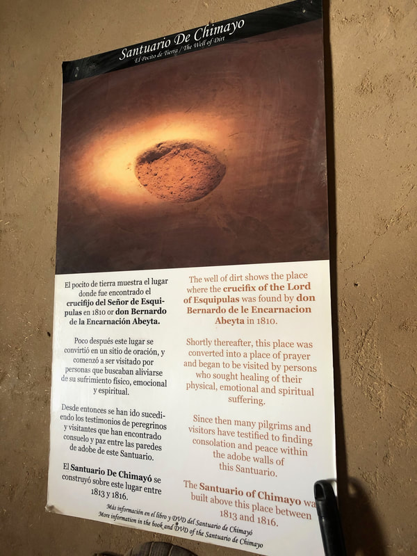
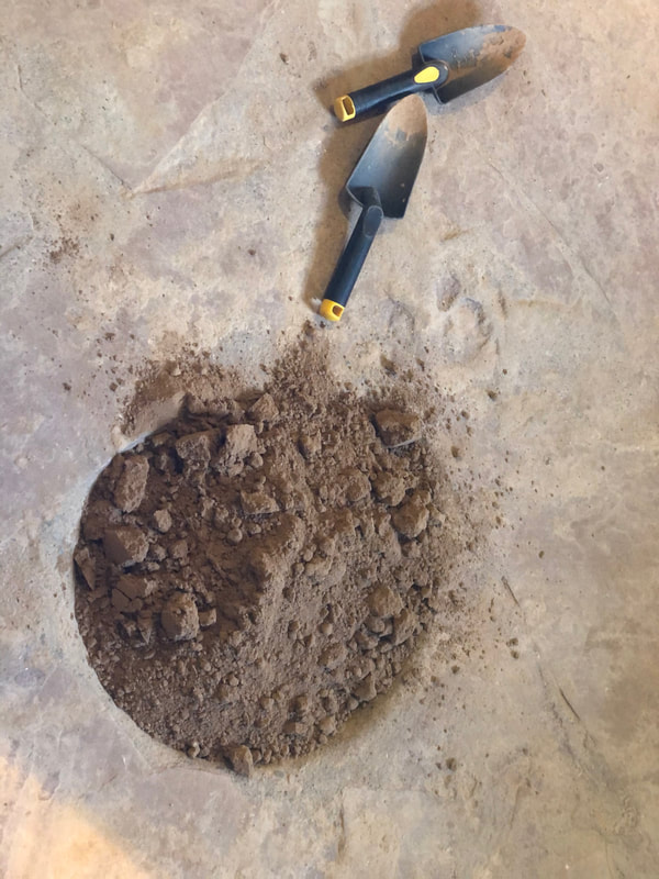
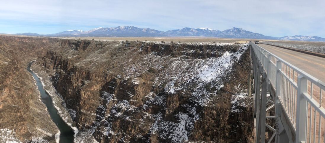
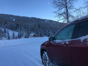
Fly Fishing Road Trip to Carbondale, Colorado Spring Break Road Trip Through Rocky Mountain National Park Weekend At Great Sand Dunes National Park 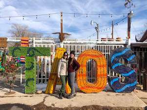 You can never really know what to expect on a road trip, especially to a place you’ve never been with a person you haven't spent much time with alone. I can proudly boast that, over the long Martin Luther King holiday weekend, I successfully traveled across northern New Mexico with my new, dear friend Natalie. Together, we clocked over 800 miles in the car traveling between campsites, hiking trails, exploring art galleries, tasting restaurants, and anything else we wanted in Taos, Santa Fe, and many small towns in between. You can see the video I put together of the highlights from our trip on my YouTube channel here! Our trip started with a late afternoon departure from Denver to head south. It took us roughly 6 ½ hours to cross the Rockies into “the land of enchantment”. The ride down kick-started our eventful weekend with blinding snow and whipping winds to traverse. We managed to fill the car with laughter, stories, and lots of snacks between the scary moments. Around 10 p.m., we approached our site for the night. The entire weekend we planned to car camp in the back of my Jeep Cherokee. We had backup plans in case car camping didn’t work out, but we successfully camped at safe and free places each night. Our first campsite was my favorite. We chose to sleep at the trailhead of El Salto Waterfall just outside of Taos so we could hike there the next morning. This area was our greatest discovery of the entire weekend. 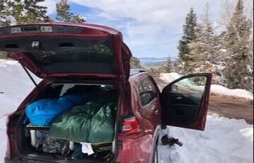 Where we parked our car to sleep our first night outside of Taos. Where we parked our car to sleep our first night outside of Taos. We had no idea what we had driven through during the night, so when we woke up on Saturday morning, we were baffled by our view through the car’s windows. We were surrounded by towering trees at the top of a mountain, looking down on the nearest town, and enclosed in feet of snow. It was magical, and this was just the trailhead! 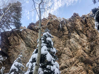 Hiking in the El Salto Wilderness to the El Salto Waterfall. Hiking in the El Salto Wilderness to the El Salto Waterfall. After peeling ourselves out of our warm and cozy cocoon-like sleeping bags, blankets, and pillows, we got ready to hit the trail. When we started out, we were a little surprised to find out that we were on private property and needed to call and pay for permits. This only set us back about 5 minutes, and before we knew it, we were trekking through the freshly fallen snow. We followed the trail along the banks of a small, clear creek which was frozen over in layers. The frozen creek was a perfect guide and emitted a beautifully serene sound to listen to between the sounds of fresh snow crunching beneath us. The creek cuts through a massive canyon that we slowly ascended into. Since we started early in the morning, we barely had any sunlight, but as we kept trekking, we found incredible views of the sunrise around every new rock and boulder we came upon. We spent hours just wandering, spinning around, inspecting, and marveling at this winter wonderland but never made it to the waterfall. When we realized the time and the remaining distance to the top, we chose to turn around. We enjoyed the views just as much, if not more, on the way back down now that everything had been drenched in sunlight. (Here is our hike recording on AllTrails: https://www.alltrails.com/explore/recording/el-salto-waterfall-trail--67 ) 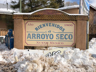 Walking around the small town of Arroyo Seco. Walking around the small town of Arroyo Seco. We were both in amazement of what we had just experienced and neither of us were expecting such an incredible start to our day. When we got to the car, we managed to pull ourselves together and start driving into Taos. On the way, we made a fantastic pit stop in the town of Arroyo Seco. This town was so quaint that we hadn't even noticed it while passing through the night before, but it was impossible to pass in the daylight. 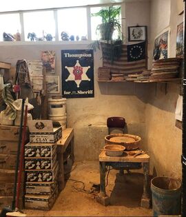 An art studio and shop in Arroyo Seco. An art studio and shop in Arroyo Seco. The artsy town gave us the best introduction to the culture of New Mexico with art shops full of oil painting, hand woven clothing, and Native American pottery. We wandered into every store on the small town’s main street (there were only about five) then settled in at The Wake and Take Cafe for a drink and to plan the next steps of our trip. 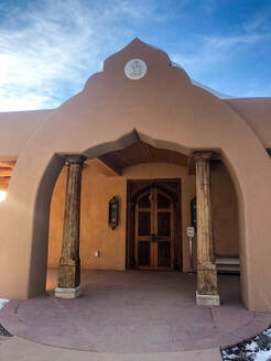 The entrance to the Hanuman Temple in Taos. The entrance to the Hanuman Temple in Taos. We decided to head toward Taos Pueblo on our casual journey into town. Sadly, their winter hours had them closing within a few minutes of our arrival, so we headed on to our next stop, The Hanuman Temple. Again, we had no idea what to expect from the Hanuman Temple. We had seen it recommended on a Facebook page and decided to check it out. We were blown away by what we discovered. Not only was this temple to the Indian Saint Neem Karoli Baba impressive in size and decoration, I was blown away by my weird connections to its creator. Earlier in the day as we were wandering through the woods, I shared one of my favorite quotes about people and nature from a guru named Ram Dass. It turns out that this temple was the fruition of his 40-year project to create a place for people to worship in America. 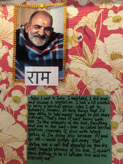 A note about Ram Dass posted on a bulletin board inside the sanctuary. A note about Ram Dass posted on a bulletin board inside the sanctuary. “When you go into the woods and you look at trees, you see all of these different trees, and some of them are bent, and some of them are straight, and some of them are evergreens, and some of them are whatever, and you look at the tree, and you allow it. You see why it is the way it is. You sort of understand that it didn’t get enough light, and so it turned out that way, and you don’t get all emotional about it. You just allow it. You appreciate the tree. The minute you get near humans, you lose that, and you are constantly saying, “You are too this,” or, “I am too this.” That judgement mind comes in, and so I practice turning people into trees which means appreciating them just the way they are.” -Ram Dass 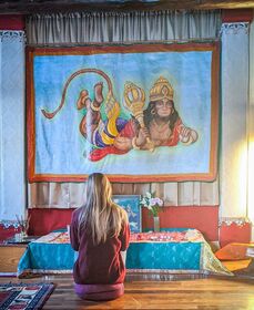 Sitting and meditating inside the Hanuman Temple. Sitting and meditating inside the Hanuman Temple. We walked between the temple rooms through the impeccable grounds absorbing the peaceful energy radiating through the space. We sat in one of the smaller rooms and read all about the hindu gods before reluctantly retreating back to our car. It gave us both a newly found gratitude for our trip and re-energized us for the exploring to come.  Checking out all of the Alebrijes in the store. Checking out all of the Alebrijes in the store. We nearly made it into Taos when we stopped at a roadside shop with a large “TAOS” made of metalwork letters. This one stop turned into a marvelous hour-long exploration of a vast collection of nick-nacks, artwork, pottery, and ironworks. The collections filled a warehouse with a dozen rooms. 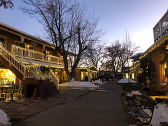 Night fall in Taos's shopping area. Night fall in Taos's shopping area. After wandering around the rooms, we continued our drive and arrived in the lovely town of Taos. It was around 5 p.m. when we parked the car, and the street lights were just starting to flicker on. The adorable town felt like it was reawakening as the shops were starting to close and the restaurants and bars were starting to open up. 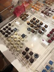 Chocolate & Cashmere. Chocolate & Cashmere. We took advantage of the time we did have in the shops and wandered into incredible spaces like Chocolate and Cashmere to get some decadent dark chocolate squares and Earth and Spirit Gallery to see 3-D painted art. We also checked out a few bookstores, chocolate coffee bars, and a small restaurant before deciding to get cocktails and listen to live music at the Taos Inn. 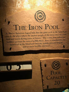 The Iron Pool at Ojo Caliente Hot Spring. The Iron Pool at Ojo Caliente Hot Spring. We enjoyed traditional Mexican fry bread with a margarita in the hotel lobby before the band started. Before we knew it, there were hoards of people packing onto the dance floor. It was definitely the hot spot to be that Saturday night. We didn’t stay long after the band started, because we still had one more stop to make for a relaxing soak in a hot spring. Ojo Caliente was almost an hour drive from Taos, but it was worth every minute and every penny. Soaking in those hot pools, under the twinkling starry night, was a perfect way to end the day we’d had. We arrived around 7 p.m. and had until 10 p.m to try all of the pools, steam rooms, and saunas. Some of the pools are said to have healing minerals that relieve difficulties like digestion issues, arthritis, stomach ulcers, and some immune issues. For us, the hot waters helped relieve the tightness in our muscles from camping and hiking and relaxed us ahead of another night of camping! You can read more about the waters in my separate review post - ojo-caliente-spa-and-hot-springs.html 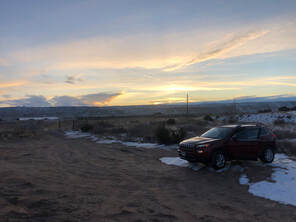 Where we woke up on Sunday morning. Where we woke up on Sunday morning. After the relaxing, warm spa treatments, we journeyed back into the wilderness and found a place to camp inside the Santa Fe National Forest. We woke up the next morning refreshed, chilly, and excited to see what the day had in store for us! We quickly moved from the back to the front of the car and made an early morning drive to the Tent Rocks our first destination. 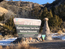 Arriving at the Tent Rocks National Monument. Arriving at the Tent Rocks National Monument. We arrived at the Kasha-Katuwe Ten Rocks National Monument around 9 a.m. and beat all of the traffic and crowds into the park. (John and I had attempted to visit the park after the Albuquerque International Hot Air Balloon Festival, but we were surprised by over a 2 hour wait at the entrance.) This time, Natalie and I had enough room in the parking lot to cook some breakfast and take our time packing our cameras and supplies. If you want to see and read more about this adventure you can check out my other blog post, just about the Tent Rocks - here! 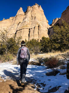 Starting the Cave Loop trail. Starting the Cave Loop trail. Just like we’d been the day before, we were absolutely stunned by what we wandered into. As soon as we started on the trail, the views of the nearby cliffs and their unique tent-shaped formations were everywhere we could see as we walked toward them. The primary trail, Cave Loop, is only 1.2 miles long, and unfortunately the mile-long Slot Canyon Trail was closed due to snow and ice. The open loop took us near the canyon walls and down into the hoodoo formations. 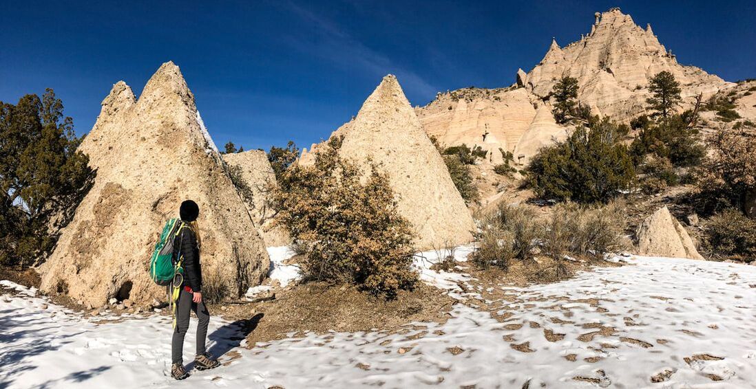 Standing among the Tent Rocks along the trail. Standing among the Tent Rocks along the trail. The formations were so enormous that we felt like we had been shrunk and were exploring around ant hills or termite mounds. Walking among the tent rocks was an even better experience, because the sun was peeping over the nearby mountains, casting strange shadows, and shining rays into spectacular places. 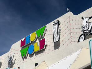 Walking into Meow Wolf's interactive art exhibit in Santa Fe. Walking into Meow Wolf's interactive art exhibit in Santa Fe. After a few hours of exploring, we hopped back in the car to head to the stop we were most excited about, Meow Wolf. The famous, interactive art installation in Santa Fe was #1 on our road trip list of places to visit, and after the morning we had just had among the tent rocks, we were even more pumped for this exhibit. 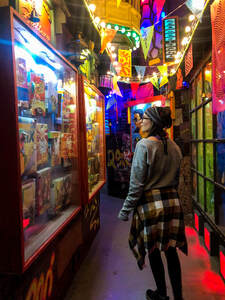 Wandering through the Meow Wolf multiverse. Wandering through the Meow Wolf multiverse. We allotted half of our day to this 20,000 square foot exhibit hall and ended up spending 5 hours playing like children through the dozens of wonderful rooms. Over 100 artists worked together to create a non-linear story that intertwines reality and imagination. We walked through spaceships and climbed through household appliances while touching, dancing, and feeling everything we could. There were so many people inside and so many things to look at, we suffered from sensory overload on our first walkthrough. You can learn more about the Multiverse, the House of Eternal Return, and Meow Wolf in my other experience post detailed, here!  The Float Bar at Meow Wolf. The Float Bar at Meow Wolf. We took a relaxing break after our first go around and grabbed cocktails from the bar before heading back in for a second time. Once we felt like we had seen it all, we finally left the fantasy world and headed back into reality. 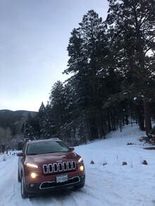 Our "campsite" Sunday night in the Santa Fe National Forest. Our "campsite" Sunday night in the Santa Fe National Forest. When we got to the car, we realized how hungry all of that running around had made us. We went to Rowley Farmhouse Ales for a hearty farm to table dinner. We stuffed our faces with breakfast for dinner and a burger, and it took all of our might to resist the bread pudding dessert. We held off knowing that we still had to search for that night’s campsite. We drove back into the Santa Fe National Forest at a different entrance than before looking for a place to park and rest our heads. After a few foiled attempts, we found an empty trailhead parking lot and crawled into the back. We were still on cloud nine from the day we had had at Meow Wolf. We woke up the next morning with our car covered in a crisp layer of frost and snow. We pulled ourselves back up to the front of the car to defrost and eventually hit the road home. Since it was still early in the morning, we decided to make a few pit stops on our way back to Denver. 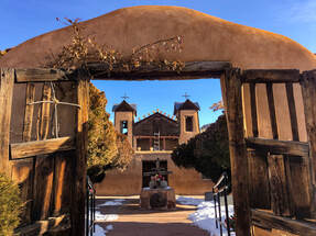 The entrance to El Santuario de Chimayó. The entrance to El Santuario de Chimayó. The first one we chose was El Santuario de Chimayó. We again didn't really know what to expect, other than a church. When we finally got to the sanctuary and learned the history of the facility, we were amazed. We had no idea we would be visiting a holy pilgrimage site. 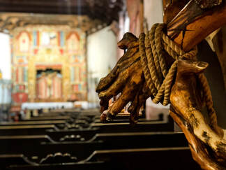 One of the many statues in El Santuario de Chimayó. One of the many statues in El Santuario de Chimayó. The inside of the sanctuary holds not only a beautifully crafted altar, but holy dirt believed to have healing powers. The story tells that, back in the 1800’s, a giant crucifix of a black Jesus was found buried in the dirt on this site. The black Jesus was famously from Guatemala and was believed to have been buried with one of the first priests in the Chimayo region. 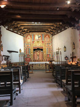 The altar in El Santuario de Chimayó. The altar in El Santuario de Chimayó. Interestingly, the nearby waterfalls and streams had been considered healing and sacred to the native peoples even before Christian settlers arrived. Here is a great expansion on the story by Atlas Obscura: https://www.atlasobscura.com/places/el-santuario-de-chimayo Now, the church attracts thousands of visitors every year to touch and/or taste the holy dirt for its power, but we only viewed from the outside. When we ended up at the gift shop, we walked out and back to our car ready for our next stop for food. 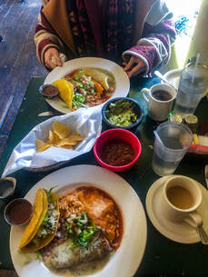 The combination platters at La Cueva Cafe in Taos. The combination platters at La Cueva Cafe in Taos. We drove back into Taos and decided we wanted to walk around in the daylight. We wandered in and out of a few places but ultimately decided that we wanted food. While walking around, we passed a tiny shack-sized building we had seen on Yelp. Its hole-in-the-wall style drew us in. La Cueva Cafe can probably only fit a dozen or so customers and was one of the smallest restaurants I’ve seen. The intimacy of the restaurant added to the experience of the great New Mexican meal. The workers were all friendly, and it was nice to hear conversations and laughter around us as we scarfed down our tacos, enchiladas, and tamales. 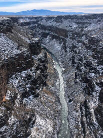 The view from the Rio Grande Gorge Bridge. The view from the Rio Grande Gorge Bridge. We thought the food might make us sleepy during the rest of the ride, so we made one more stop and stretched our legs as we walked across the Rio Grande Gorge Bridge. As we looked over the incredible rocky canyon below us, we were figuratively blown away by the contrasting scene of the far off mountains and the rushing river below. We were almost literally blown away by the wind too. It only makes sense that the last stop of our trip would blow us away just the way we had been blown away by the entire weekend. We were so sad to have to end our trip, but we were so happy to look back on all that we had done. The entire trip home was spent planning our next trip back. We already can't wait to come back!
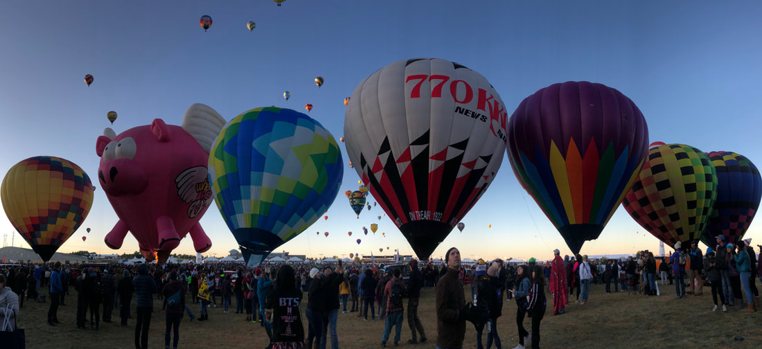
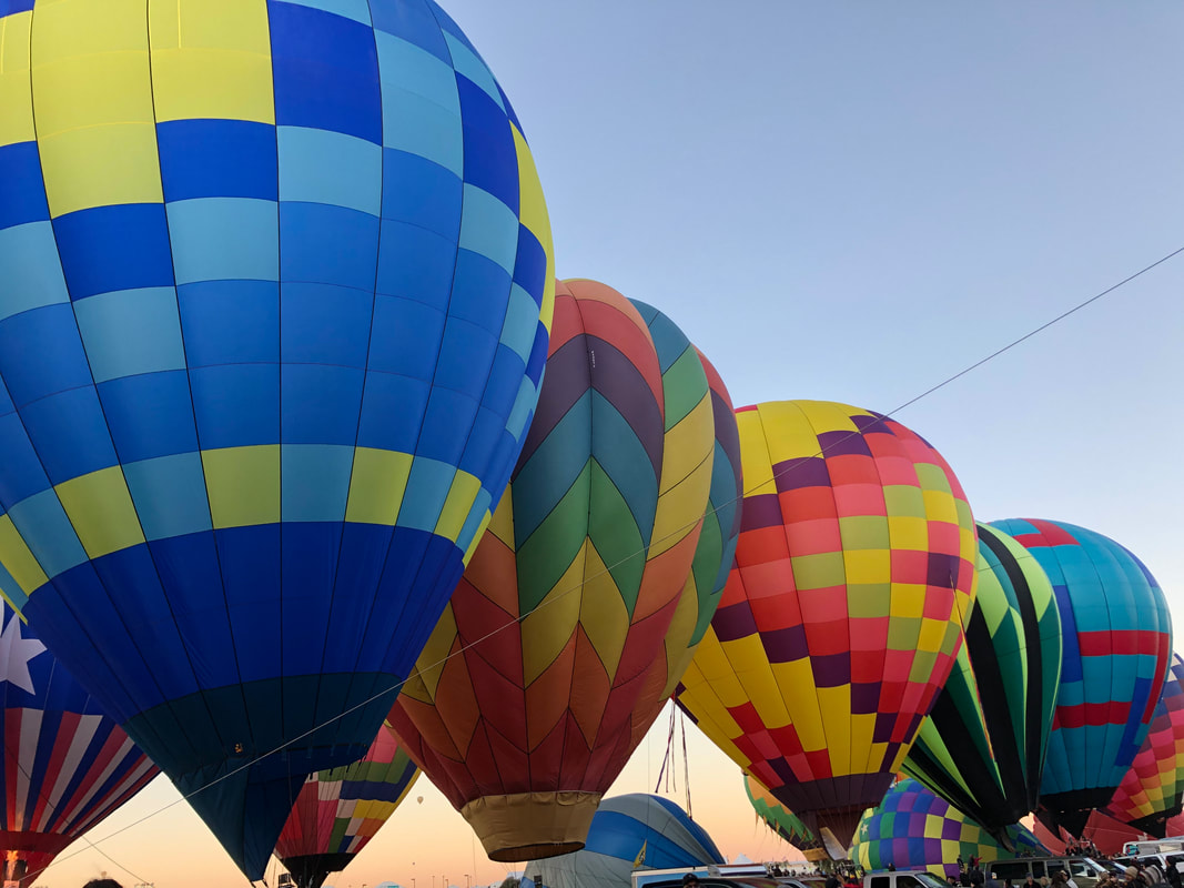
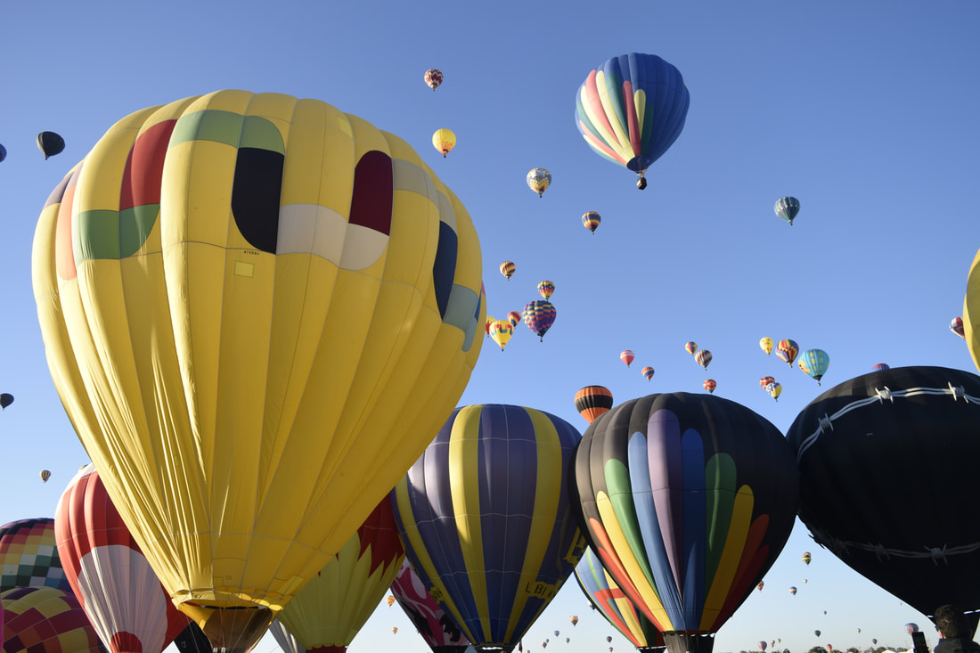
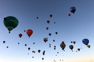
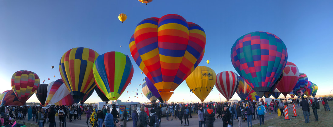
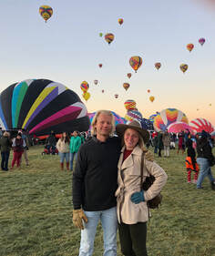 The annual Albuquerque Hot Air Balloon Fiesta has been on my bucket list since 2016 when John and I drove through Albuquerque on our way to the Grand Canyon from Carlsbad Caverns (which you can read about here!) Attending this festival seemed out of reach while living in the south, but when I moved to Colorado I put it on my calendar right away. 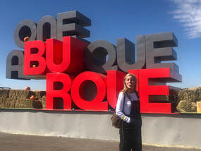 John and I attended the 2019 fiesta’s second and last weekend, October 11th-13th. The annual festival runs for nine days around the first week of October and is one of the world’s largest hot air balloon displays. This year, over 550 pilots brought their balloons, baskets, and crews to show off their prized possessions. Every day of the festival features a sunrise balloon flight, the weekends include daytime music acts, and some nights have “glows” where pilots use their balloons’ burners to light up the darkness. Before I share our experience, I want to give some advice on a few things we learned from the festival’s website before our arrival:
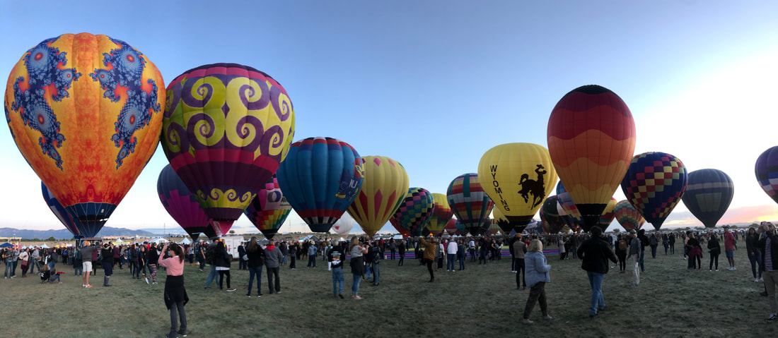
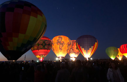
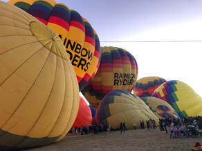
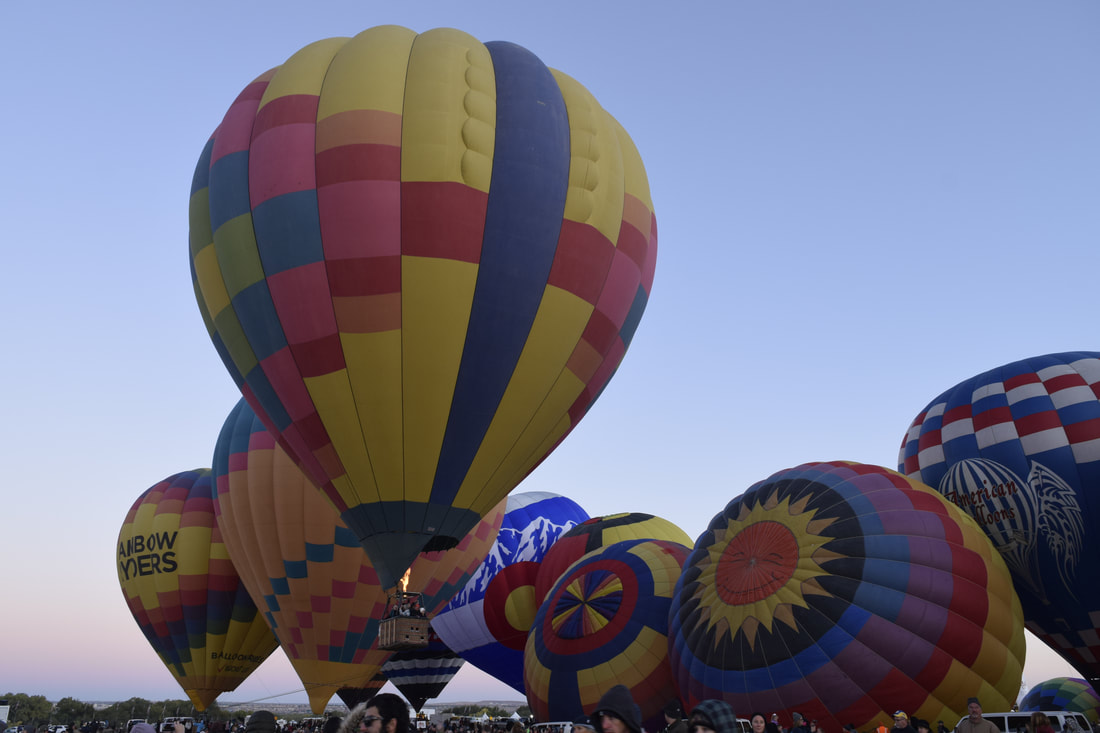
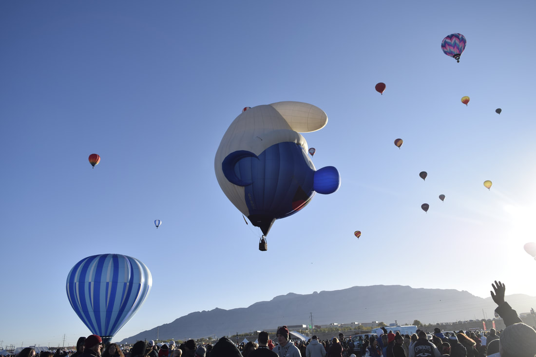
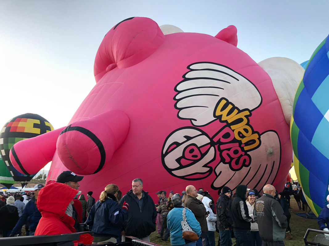
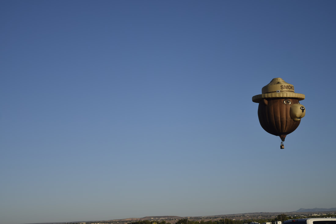
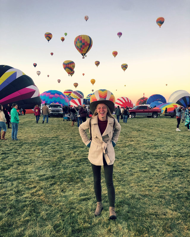
If you want to see our balloon adventure (and some of our other videos) check out our youtube channel HERE! Our trip:John and I arrived in Albuquerque late Friday night after the nearly eight hour drive from Denver. We weren’t able to make any of the festival events, so we went straight to our reserved site at the Turquoise Trail Campground and crawled into the back of my car to rest our heads on the car camper. Saturday: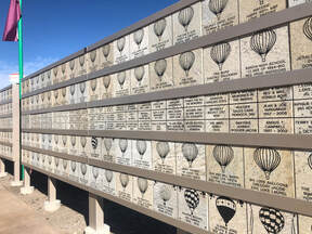 Due to the late arrival, we didn’t wake up in time to see the sunrise ascension on Saturday morning. We knew that by the time we got there, the session would be over, but we thought we’d head over to see if we could get in and check out the festival. We arrived at the Balloon Fiesta Park around 10:30 AM, and absolutely nothing was going on at the festival. So little was happening that there weren’t even workers collecting money for parking or for tickets! We parked next to the entrance gates and strolled right in for free! 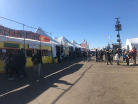 Between the sessions, several of the vendors had zipped up their tents and turned off their cooktops, but we still were able to stop into a few and walk around the grounds. There were some people lingering and hanging out, and we assumed that most of them were balloon crews and festival workers. 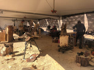 There are all sorts of trinkets and festival memorabilia for sale at the fiesta. We saw things ranging from precious metal jewelry, chilies and spices, wood carvings, and musical instruments. Pin trading and collecting is a very popular hobby, and almost every stand had unique pins for sale. One day, the fiesta featured a pin trading event! 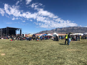 While we were walking around the outskirts of the grounds, we stumbled upon a line of people leading into a pavilion and asked what was going on. We were informed that it was a luncheon and were handed two tickets to enter! We enjoyed a great lunch of friend chicken, pork chops, and mashed potatoes with several of the pilots and other balloon crew members. After the delicious meal, the concert was just beginning to start, so we made our way to the other end of the fair grounds to check it out. We found that we’d have to buy tickets to get inside a fence surrounding the concert stage, but we could hear and see everything from just outside the fence. Several of the balloon crews set up tailgates with tents, food, and games which made listening to the music even more fun. We met lots of nice people while we enjoyed three different acts. We eventually meandered back to the beer garden to purchase a few very expensive beers. A lovely couple invited us to join them at a table, and we talked for almost an hour as the beer garden filled up with people leaving the concert stage. Every person we met at the festival was unbelievably friendly and welcoming. We met people from all over the world. Germany, France, and at least a dozen states were represented. It was incredible to see how this event brought so many different people together. 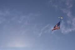 When the sun started to set, skydivers dropped from the sky carrying an American flag, blowing smoke, and shooting fireworks from their chutes. It was the beginning of the evening session and balloons soon started to inflate when the divers reached the ground. 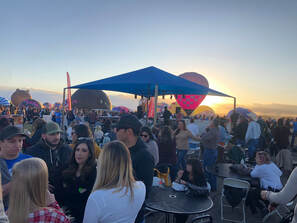 The view from the beer garden. The view from the beer garden. We didn’t know what to expect as far as the number of balloons and people that would be attending the evening session. At first, only a few balloons started to expand, but before we knew it, there were dozens of balloons full of air and thousands of people admiring their designs. The sun set behind a grouping of balloons that John and I were viewing, and it cast a beautiful reddish-orange hue onto the swarms of people and colorful balloons. 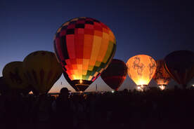 When the sun set, the balloons took on a different look. They were only lit from their burners creating a lightbulb-like effect and a more blue hue. The propane flames would fire up in synchronicity or alternate and flicker to put on a show for the audience. 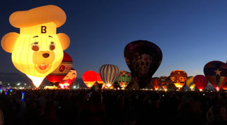 There are well defined paths between each row of baskets, and we wandered in and out of them staring up at the unique pieces. Each one had a different pattern of colors, some had artistic designs, and some were even shaped like characters! 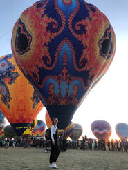 We were absolutely enamored by some of the balloons’ coloring and patterns. Balloons like the Fractal Project were some of our favorites! The balloon baskets never leave the ground during the night glow, so we were able to get up close and personal with the crews and see inside of the balloons. 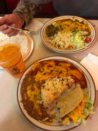 After about an hour of showing off, the balloons finally deflated and a fireworks show began. John and I decided to head out and watch the explosions through our windshield. It was a great showcase that lasted roughly 30 minutes and had us leaning forward in our seats in awe. When we made it through the lines of cars, cones, and cops, we were starving. We made a quick stop off Route 66 at Frontier Restaurant for some delicious and inexpensive Mexican platters. When we had our fill of tacos and enchiladas, we drove into Cibola National Forest and found a place to park for the night. It was only around 9 PM, but we hopped in our car camping setup to get a good night's sleep and prepare for the early morning wakeup call. Sunday: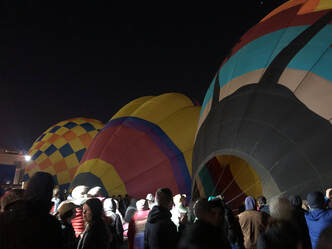 Our first alarm went off around 3:30 AM, and we were fully dressed and leaving our parking spot by 4:30. Even with our early start, we were greeted by a line of cars outside of the festival waiting to get in. When we did get in, we couldn’t believe how many people were in attendance this early in the morning. It was such a spectacle to see thousands of people huddled and snuggling with one another in the cold, dark morning air. John and I bought hot chocolates and breakfast burritos right away to warm ourselves up. We enjoyed these from our tapestry on a nice, open grassy patch as we waited for the show to begin. When the balloons started to inflate, we instantly finished what we had left and hopped up off the ground. 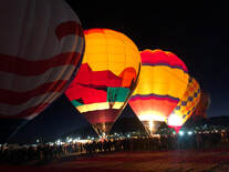 The first line of balloons to go up is the “Dawn Patrol”. They check the weather conditions and report back to be sure it is safe for other pilots. About ten balloons were blown up first and everyone gathered around their baskets to watch and warm up. 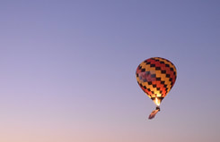 They alternated taking off, and each one received a big round of applause from the audience. One basket had an American flag attached and was playing the national anthem! It was a great start to what would be an incredible morning. 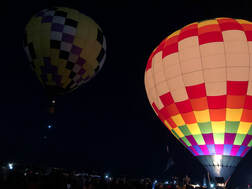 Once they were all up and floating away, more balloons started to pop up. At first, there weren’t many balloons, and John and I both worried that some balloons had packed up and left the festival early. Within a half an hour of the last Dawn Patrol’s takeoff, we were proven wrong. 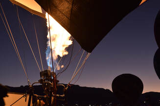 The sun started to peep out from behind the nearby Sandia Mountains and as it rose, so did the balloons. It was such an exhibition to see hundreds of balloons slowly lifting off into the purple tinted sky. What started as just a dozen or so balloons turned into fifty, then hundreds of balloons waiting to take off. They used fans then flames to blow up their balloons illuminating the pre-dawn sky. We walked among and around these brightly colored behemoths with our eyes and mouths wide open in wonderment. It was truly unlike anything I had ever seen. There were so many more balloons than we had seen the night before, and more balloons were fun-shaped. There was a Smurf, Smokey the Bear, and even a carousel! It took roughly two hours for all 560 balloons to blow up and take flight, and for that entire two hours, hundreds of thousands of people clamored, took pictures, cheered, oohed, and ahhed at every piece. When they were all out of reach, we decided to take off ourselves putting the balloons and all the fun we had shared behind us. Neither one of us could believe how magical the festival had been. It was unlike anything we expected, and we cannot wait to return next year with friends to share how spectacular it was! When we come back, we will keep these few ideas in the back of our minds. Some are lessons learned and others are things we found afterwards on social media:
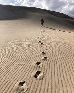 The Great Sand Dunes National Park and Preserve near Blanca, Colorado, is the most unique national park Taylor and I have had the pleasure of visiting out of the dozen we have been too. The park’s namesake dune field covers thirty square miles and reaches heights of over 700 feet. During Taylor's first trip to the national park in March (which you can read about, here) she wasn’t able to camp among the dunes, but we spent the last Friday night in September doing just that. 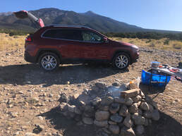 Camping on Lake Como Road near Blanca Peak and Great Sand Dunes National Park Camping on Lake Como Road near Blanca Peak and Great Sand Dunes National Park Prior to our night in the dunes, Taylor and I camped on Lake Como road after leaving Denver Thursday evening. The 4x4 road ascends to Lake Como where many hikers begin their climb of Mount Blanca. There are stone fire rings that help define cleared pull offs along the road. We found a vacancy with no trouble. Our car camping platform was the perfect place to dream about the dunes in our future 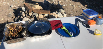 Early Friday morning, Taylor and I prepared a campfire breakfast, checked our packs, and made our way toward Great Sand Dunes National Park. Just outside of the park, we stopped at the Great Sand Dunes Oasis. Taylor purchased raw shea butter and we rented two Monarch sand sleds. Less than four miles down the road, we showed Taylor’s National Parks Pass and were soon walking into the small but rich visitor’s center. Taylor purchased raw shea butter and we rented two Monarch sand sleds. Less than four miles down the road, we showed Taylor’s National Parks Pass and were soon walking into the small but rich visitor’s center. The Great Sand Dunes Visitor Center featured general park information, infographics, models, magnified sand particles, and a gift shop. I found a bandana with a park map printed onto it, and Taylor purchased a Great Sand Dunes decorative picture. While in line, Prickly Pear Jelly Beans were spotted, and we couldn’t refuse them. After our purchases, a park ranger met us in the backcountry office, and we completed the backcountry permitting process. 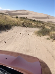 Driving to the Castle Creek parking area. Driving to the Castle Creek parking area. Not forty five minutes after entering the park, we were driving toward our designated parking lot. We chose to park at Castle Creek lot even though the ranger warned us about the sandy road leading in and the steeper hike up. Taylor and I were eager to take on the challenge of hiking over the top of the dune field’s ‘front range’. We enjoyed a prepared lunch and discussed how to best climb the monstrous piles of sand. We decided to navigate a series of slopes whose length and difficulty gradually increased. Aiming southwest, we started down to Medano creek. The creek trickled in the summer heat as we approached the first slope and climbed our first slope of the day. These first 40 feet of elevation gain were a wakeup call. Nursing full stomachs and questioning our goals, Taylor and I gathered our wits and pressed onward. 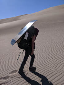 The next hill was the steepest of our climb and approximately 100 feet tall. We had to take short breaks all the way up this hill and when we reached the top, we realized this wouldn't be our tallest climb. The next hill was 260-foot tall behemoth. Temporarily exhausted from reaching the top of the last mound, I scouted the highest parts of the ‘front range’ for our best route. 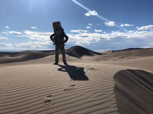 We initially decided to take follow the eastern, more gradual route. That didn't last very long. As the saying on the brochures in the Visitors Center said, "for every two steps up, you take one step back", so the longer but less steep route was more taxing that anticipated. We quickly moved back to the front, steeper, side and tried our hardest to push ourselves up. We eventually, after many breaks, made it to the top. We passed one tent along the way and kept climbing the ascending ridge searching for a bird’s eye view of the sandscape. Soon, we found our overlook and our campsite. 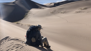 The dunes rolled out before us, and we decided to we should setup camp at the bottom of the ridge we stood upon. Two sand sled wipeouts later and 70 feet lower, camp had been reached. A quick setup and some much needed water were all that stood between us and sand sledding celebration. Taylor and I explored the surrounding dunes with our feet and our sleds until the last light lingered on the horizon. We tackled 100 foot hills, learned how to use our hands as brakes, and used nearly half of our board wax. As the sun dimmed, stormy clouds grew darker atop the lush mountains and distant rainmakers struck the tundra with lightning. All of this unfolded against a reddish orange and deep purple sky revealing glimpses of an electric blue nearest the fading light. 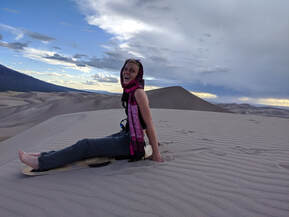 Tan dunes hosted more color than I could have imagined as the sun sank in the sky. Black shadows of invisible sand clouds whipped and danced across the steepest faces leaving Taylor and I in awe of something we’d never seen. Low winds blasted the perfectly shaped sand waves surrounding us. The entire scene was remarkable. 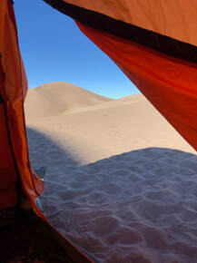 Before darkness consumed the dunes, Taylor and I made our way back to the tent. The temperature had fallen drastically, and we had more clothes waiting in our tent. After bundling up, we discovered that the dark clouds had only grown to cover the night sky we’d been so excited for. The Great Sand Dunes is an international Dark Sky location, and we had planned this trip according to the moon calendar to see the darkest sky possible. Sadly, our only glimpse of this wondrous dust was the night before at Lake Como Road. Taylor and I woke up Saturday morning with our tent in the shade of a dune. We climbed to the top of the ridge we’d followed into the dunes with our sleds. The morning sunshine felt so good that we decided to stay another day. 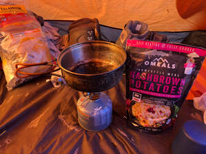 After a breakfast in our tent, we packed up a small day pack and journeyed back down sand, in a much faster and stylish way. Sledding down our route without packs was a thrill and set the tone for a beautiful morning outside the dunes. It took us only about 20 minutes to get down from our perch, where as the day before had taken us some two or three hours to hike up.  Once our sand sled rentals were extended and our new backcountry permits were in hand, we spun down the rutted, sand road excited for another spellbinding evening. Before championing the climb to our tent, Taylor and I decided to explore Medano Creek. We walked further down the 4x4 road watching the humble creek roll away from Mount Herard. Bushy trees, wetland grasses, and gnarly trees nearly concealed a young buck across the creek from us. We watched him pull leaves, dart his tail, and peer through the green woods toward any slight sound or movement. When he hopped away and over the hill, Taylor and I decided to start our journey back to camp. 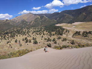 We took a different route up the dunes, hoping it would be easier. The only thing that was really "easier" was the fact we didn't have packs on, and this time a new challenge awaited us. Blustering winds slapped us with sand as soon as we reached the top of our first, grassy sand dune. 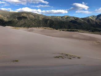 From 40 feet to 140, Taylor and I climbed a well-defined ridge to the foot of our longest climb of the weekend. As the winds punished us, we gradually scaled 280 feet of steep sand. While we sat at the top of the sand wall, the wind continued relentlessly. Our eyes and spirits wouldn’t be the only casualties of the sandstorm. As we neared the campsite, we noticed our misshapen tent. The tent material had been mangled by the wind and had nearly snapped our tent poles. 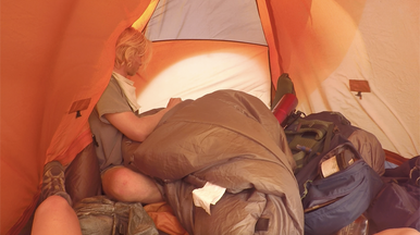 As we pulled the tent material back into position, the corners became more and more difficult to anchor. Eventually, our strategy turned to indoor sandbags. It didn’t leave much room inside the tent for us and our sand-riddled equipment. With grit-filled gear and clothes, our primary concern was the potential that the winds continued into the night as we tried to sleep. We decided to abandon the second night of camping and made our way out of the dunes, after a very windy and difficult pack up. The slow walk out was quiet between us. Mainly, because the roaring winds did not relent, but also because neither one of us wanted to cut our trip short. Though we’d just been beaten by Great Sand Dunes National Park, we knew what an incredible adventure our time there had been. Incredible mountain scenery hosting a geological oddity ripe for exploration was enough for me to consider it a contender for my favorite National Park, even as we were driving away. If you want to see more of our sand boarding, and actually see how violent the sand storm was, check out our YouTube video from the weekend! 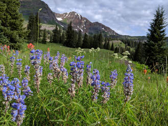 Winter of 2018 through ‘19 brought a record breaking amount of snowfall to the state of Colorado. This was great for skiers and snowboarders, but it was also great for wildflower enthusiasts. The melting snow nourished the ground and helped produce massive amounts of blooming wildflowers and other spectacular vegetation. 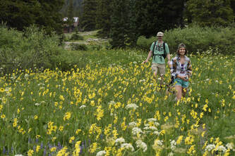 Crested Butte is renowned as Colorado’s Wildflower Capital, and this summer, the town was surrounded by a super bloom. Naturally, I planned a trip into the heart of the Rocky Mountains as quickly as I could and was fortunate to have a group of friends who wanted to join John and I and our dog, Maria. 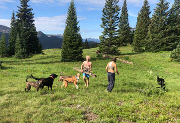 I scoured Facebook groups, Meetup discussions, and trail websites like AllTrails to help plan our trip and scope out where the best blooms were happening. Once I knew where the flowers were, I was able to narrow down my search to campsites and trails that were open and dog friendly. Many of the campsites don’t take reservations and operate on a first come first serve basis, and many of them do not allow dogs or groups larger than 8. We were planning to have a group of ten or more (eight ended up going) with almost as many dogs tagging along. Through my searches, I found the ‘Oh Be Joyful’ and Lake Irwin campgrounds, and Ohio Pass Road was recommended for dispersed camping. I figured these sites would be good starting points for my search when I got into town Friday afternoon. 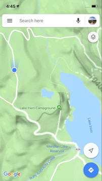 I was the first of the group to arrive in Crested Butte and was in charge of locating our home base for the weekend. I luckily tried Lake Irwin Campground first, and to my surprise, found dispersed camping in the national forest just past the campground. I am glad I continued driving around after reading that the Lake Irwin Campground was full, because the spot we snagged couldn't have been any better. There were a few open sites that I could see from the road, but the marker for a campsite atop a steep hill caught my attention because of its privacy. I climbed the hill and quickly set up my tent to claim the elevated oasis in the heart of the Elk Mountain Range. Maria ran and played on the lush hill while I worked to get ready for everyone’s arrival. 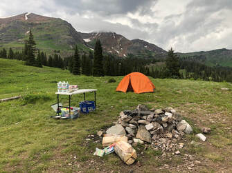 It took several trips up and down the hill and back and forth to the car, but in just a few short hours, I was able to set up a nearly perfect campsite. Once I’d finished, Maria and I headed into Crested Butte for cell service to let the others know where I was set up and to ask them to pick up firewood. It took a little over an hour to go into town and back, and before I knew it, the party was arriving, and nightfall was approaching. One couple and their pit bull pup arrived first, and shortly after, three other cars arrived with the last five humans and the other four dogs. Everyone quickly set up their sleeping arrangements and lugged their gear up the hill. It was already after 10 pm, but that didn't stop us from making smores and having a few drinks. Once the fire started to die down and a few of us got cold, we decided to call it a night. 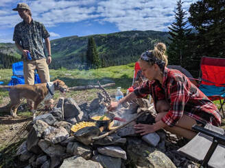 Early the next morning, it started to rain, so everyone stayed in their tents a little longer than planned and snuggled up until it stopped. After the shower, I cooked cheesy scrambled eggs and southwestern hash browns in our cast iron skillets over the campfire for breakfast. Some made teas and coffees while John and I enjoyed some hot chocolate. Breakfast warmed and fueled everyone up for the adventures that were to come. 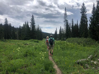 Some of the group decided to head into town, others went fishing in the lake, and we decided to try to summit the nearby 12,000 foot peaks that towered over our campsite. Unfortunately, we were turned around by private property signs and bursts of midday thunder. Lake Irwin was not far, so we turned around and set out on a trail that lead us right to the lake. By sheer coincidence, we emerged from the wooded trail to find a waterfall and huge field of wildflowers at the very same time that our fishing friends were checking it out. We were all blown away by the site we had simply stumbled upon, and somehow, we had it all to ourselves We spent a few hours wandering around the lake, stopping in fields of yellow, purple, and white flowers, and throwing sticks for the dogs to chase. 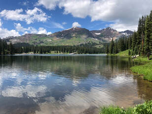 The fields of flowers were unlike anything I had ever experienced, and they were all surrounded by majestic mountain slopes and peaks. When we finished wandering around the lake and our fisherman had caught his fill, we all headed back up to the campsite for a late lunch and to meet up with the group that had gone into Crested Butte. For the rest of the day, people meandered in and out of the campsite until we lit a fire and started cooking dinner. Between funny stories and conspiracy theories, I prepared a meal of turkey sausage, beef hot dogs, potatoes, brussel sprouts, and asparagus that cooked alongside turkey and black bean quinoa burgers. 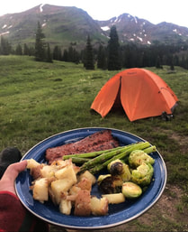 We acted as if this wasn't enough food, and shortly after eating this hearty meal, we were making smores again and comparing techniques for how to best roast a marshmallow. It was a beautiful evening spent with even more beautiful company, but like all good things, it came to an end when the clouds started to roll in and our exhaustion became apparent. We eventually put out the fire as everyone rounded up their dogs and hopped into their sleeping bags. 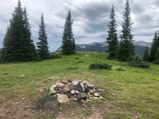 We all woke up for sunrise the next morning but were greeted by another grey and cloudy morning sky. After sitting around for a little bit and discussing breakfast, we realized how quickly the clouds were rolling in and that there was rain quickly approaching. We all hit the ground running to pack everything as quickly as we could. We weren’t quite quick enough and got stuck packing up most of our gear as the rain fell. We eventually got everything packed and loaded into our cars, and we finished before the worst of the morning storm set in. 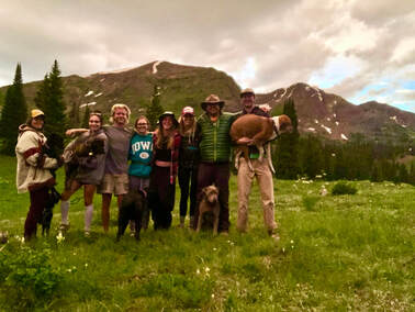 By that time, we were in Crested Butte looking for a place to score a warm breakfast. The rain didn’t keep the restaurant crowds down, and we ended up wandering around for a short while before settling on The Daily Dose for coffees, smoothies, and a few breakfast burritos. It was a cozy place that could accommodate a large group, so it was a nice place to sit and talk about how much fun we had all had during the previous few days. It was so nice to hear how grateful everyone was to have been able to come together like this, and we started to plan more trips for this fall during breakfast! The weekend was perfect in every way, and the Crested Butte area provided much more than I could have ever imagined. I cannot wait to go back and see what the area has to offer during other seasons of the year! 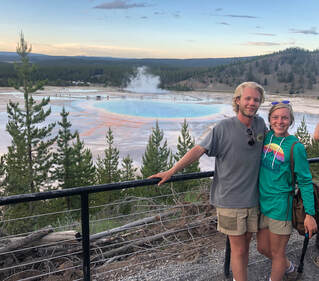 America’s first national park is home to one of the world's largest volcanoes. Magma nor ash spew from this supervolcanic hotspot, but constant heat affects the landscape and groundwater in spectacular ways. It’s no wonder why this part of America is protected. Yellowstone National Park encompasses over 28,000 square miles of sulphuric hot pots, glacier valleys, bubbling geysers, and picturesque lakes. In one week, John and I were able to see its highlights while backpacking through the backcountry and driving around its main roads. You can see our entire trip on our YouTube channel here! Before we stepped foot in the park, we did a lot of planning and research in a very short amount of time. Acquiring permits, preparing food, and packing were critical to our success in the backcountry. We wrote our Planning and Researching post to show every step we took. Days One-Five: Backpacking in the Backcountry Most of our time in the park was spent on the Thorofare Trail. We spent five grueling days hiking through some of the most remote parts of the park. Hiking south along Yellowstone Lake toward the Yellowstone River included forest fire damage, lakeside valleys full of wildflowers, and deep woods.  We were set to hike 30 miles and turn around, but due to a swiftly flowing river, we were forced to turn around after 16 miles. It was our first backpacking trip and even though we didn’t complete the trail, we learned a lot about being in the wilderness and can’t wait to hit the trail again! Our “10 Biggest Backpacking Takeaways” post lists some things we learned. 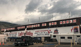 When we got off the trail on the Fourth of July, there was nowhere to stay in the park. Camping is only allowed at designated sites, and each site had already been filled. We were forced to look outside the park, so we looked beyond the park’s East Entrance. We headed out to Cody, Wyoming, with hopes of getting a good, hot meal and a soft bed. We only found one of these and also unfortunately missed the 100th annual rodeo. 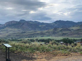 We stayed at a trailhead off the highway between Cody and Yellowstone's north entrance. We stayed at a trailhead off the highway between Cody and Yellowstone's north entrance. We got some burgers at Buffalo Bill’s Irma Hotel & Restaurant before finding a Bureau of Land Management spot to park my car camper. After each day of driving around the park, we left its boundaries to grab a bite and stay the night. Some nights were easier than others, but we wrote about where we ate and stayed each night in this separate post to help others who are in the same situation we were in! Day 6: The First Day of Driving 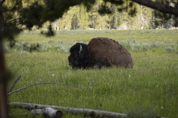 Our first day driving around the park started bright and early at the East Entrance. Almost immediately, John spotted some Bison in a valley just past the Fishing Bridge. We pulled over to snap some pictures of two hiding in the shade just yards from our car. We thought this was an up-close experience, but we had no idea what would happen at our next pulloff. 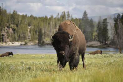 As we kept driving through the valley, we saw a group of cars stopped, so we pulled over as well. Everyone was on a small hillside, but John and I found a trail reaching from our car and into the grassfield. We walked out to the end of the trail and were still 50 yards from the closest bison. I took some pictures, but as I started to walk toward the hill for a different angle, the bison started to approach John! It got within 5 feet of him while the two stared at one another. John never lost his cool, and the bison turned to walk toward the road! Still struck with awe, we hopped into the car and continued driving to the Mud Volcano. Mud Volcano This was our first hydrothermal area in Yellowstone. It sits inside the Yellowstone Caldera and is constantly shifting. Magma below the surface creates mud pots, hot springs, and geysers. Some of the most acidic mud in the park is found here and caused by microscopic organisms on and below the surface. The Mud Volcano Trail is a half-mile boardwalk loop that passes Dragon’s Mouth Spring, Mud Volcano, Grizzly Fumarole, Sour Lake, Black Dragon’s Cauldron, Sizzling Basin, Mud Geyser, and Mud Caldron. It was truly fascinating to walk around and explore these sites. Across the street, the Sulphur Caldron is as acidic as battery acid! We checked it out before driving off to the next area, but even that didn’t come without a few stops to see wildlife including, for the first time, a black bear!! 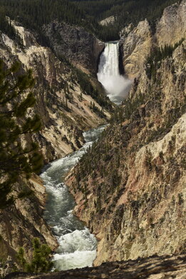 Canyon Area This area has been torn apart by glacial movement, volcanic activity, and erosion all mixed together. You can see the layers of history in the incredible canyon walls that the Yellowstone River has cut through. We started our tour of the ‘Grand Canyon of the Yellowstone’ at Artist Point working our way south then north again along the north rim. Uncle Tom’s Trail was closed when we went, but the South Rim Trail was open, and we were still able to get close to the upper falls. As we continued northward, we drove up to Mount Washburn but quickly turned around as an afternoon thunderstorm rolled in.  Tower-Roosevelt Our next stop was Tower Falls and the general store. Mid-day was approaching, and it was hot and crowded. John and I went in the general store for souvenirs and air conditioning but ended up with beers. We crushed them under the awning outside before continuing on to Tower Falls. It was a quick stroll to see the fall, but the trail continued past the viewpoint. We kept going the extra bit, and the trail led us to the shores of the Yellowstone River. We explored and hung out for a bit before deciding to head back up for lunch. We made a quick stop at the petrified tree to see what that was all about. The silica mold of an ancient redwood tree left us with more questions than answers as did most things in the park. Yellowstone is truly full of fascinating curiosities. 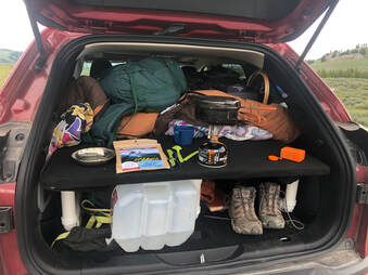 We decided to pull over at the Forces of the Northern Range trailhead. We wanted to stop for lunch and a group of people with binoculars caught our attention. Turns out, they were looking at bears way off in the distance, but by the time we had eaten, the bears had come much closer. We got a very good look at a momma and her cub as they nibbled on some flowers. 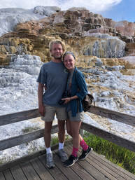 Mammoth Hot Springs We timed our arrival at Mammoth Hot Springs perfectly. The earlier shower had scattered some of the crowd, and many of the visitors had finished for the day or were making dinner. For periods of time, we had entire areas to ourselves which allowed us time to quietly ponder and talk about the perplexing landscape. We wondered and discussed a lot, because little of the science and geology on display answered our questions. 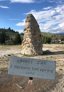 We started our walk at Liberty Cone. Most cone shaped mounds like this only grow to 1-2 meters, but this one is almost 14! It greets visitors on the way to the Mammoth Hot Springs Trail and is a spectacular site to see. That being said, it could not compare to its neighboring mineral fountain. Palette Springs was one of the most perplexing formations we witnessed in Yellowstone National Park. As hot steam rises through limestone, calcium carbonate is dissolved and carried to surface pools. The calcium carbonate is deposited and form stone curtains that show the pathways of overflowing water. These wonderful pools of steaming water are also homes to multi-colored bacterium. From organisms that feed on sulfur to organisms that photosynthesize, these pools are abloom with life. The Palette Springs boardwalk makes a loop through the lower area. We went clockwise to see Mound Spring, New Blue Spring, Cupid Spring, Grassy Spring, Dryad Spring, and Canary Spring before circling back to Cleopatra and Palette Springs. The entire time, we were enthralled by these formations and creations. It was one of my favorite areas in the entire park and the one that I have the most questions about.  When our brains were fried from contemplation and our tummies started growling, we decided to head out the North Entrance toward our hotel. We grabbed some bar food at the Emigrant Outpost in Pray, Montana, on our way to The Lewis and Clark Motel in Three Forks. Day Seven: Heading Back South 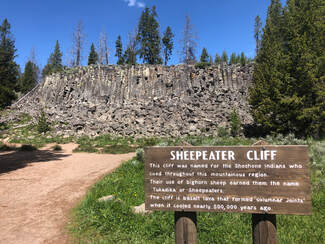 We woke up the next morning and hit the road back toward the park. After a stop in Bozeman for a quick, fluffy breakfast at Stuffed Crepes and Waffles, our first stop in the park was Sheepeater Cliff. Its name was not as gruesome as it sounded. It was named after the local group of Native Americans who ate and relied on the mountain sheep. We saw some marmots and a cute deer hiding in the woods before we drove off to another geyser basin. 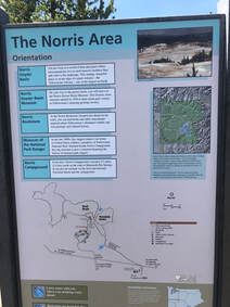 Norris Geyser Basin Norris Geyser Basin sits along two fault lines and a fracture in the Yellowstone Caldera. These cause frequent earthquakes and movements in the land. A park ranger said that every year new hot springs appear while others become dormant. We could see just how quickly things were changing, because part of the boardwalk in Porcelain Basin was roped off. The geysir basin is split into two sections: Porcelain Basin and Back Basin. Porcelain Basin is a large, colorful sight, but Back Basin provides close up views of individual geysirs. We chose to do the Back Basin Trail first. 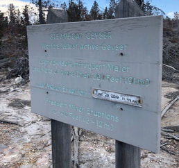 The longer trails have smaller crowds, plus there was a lot more to see in this area including the tallest active geyser in the world, Steamboat Geyser! We watched and hoped for Steamboat to blow at the beginning of the Back Basin Trail just past Emerald Spring, but sadly did not see it erupt. The trail continues past Cistern Spring, Black Pit Spring, Echinus Geyser, Arch Steam Vent, Mystic Spring, Puff N’s Stuff Geyser, Green Dragon Spring, Blue Mud Steam vent, Yellow Funnel Spring, Porkchop Geyser, and Vixen Geyser.  Porkchop Geyser is especially intriguing, because it made an epic comeback from dormancy in the 80’s. It shot rocks hundreds of feet into the air, it has since calmed back down and when we saw it was just a roiling hot spring. We got a surprise eruption from Vixen Geyser as we were leaving Veteran and Corporal Geysers. The little hole shot water about 15 feet into the air for several minutes. It was very impressive and unexpected. We finished the Back Basin Trail with Palpitator Spring, Fearless Geyser, Monarch Geyser Crater, and Minute Geyser before heading to the Porcelain Basin. We didn’t spend nearly as long in the Porcelain Basin, because we had spent nearly two hours on the Back Basin Trial. Plus, the Porcelain Basin Trail was shorter and much more crowded so we didn't need as much time. We stood at the overlook and did the short loop to see Congress Pool, Porcelain Springs, and Hurricane Vent before hopping back in the car to see what else the park had to offer. Madison Area I had never heard of or seen mud pots before, but when we arrived at Artist Paint Pots in the Gibbon Geyser basin, we could see exactly what they were named for. The gurgling pools of clay and nearby fumaroles were steaming along the hillside as we walked across the boardwalk overlook. Lower Geyser Basin Lower Geyser Basin is home to the Fountain Paint Pot Trail where John and I strolled around quickly looking at more mud pots and geysers. This is one of the few places in the park where you can see up to a half dozen geysers erupting in one place. We chose not to go down Firehole Lake Drive due to time constraints. The sun was starting to set, and we still had to see Grand Prismatic and Old Faithful! Midway Geyser Basin Grand Prismatic was one of the things I was most excited to see in Yellowstone. Those brilliant colors are iconic, and I couldn’t wait to take it all in. Before actually getting to Prismatic Spring, the trail crosses the Firehole River where steaming water flows over the edge of the spring into the river. The boardwalk then takes you to the top of the basin and leads along the rim of the mystical, blue Excelsior Geyser Crater and up to the copper mouth of Grand Prismatic. Grand Prismatic is the largest hot spring in Yellowstone National Park.Viewed from the park's boardwalk, rust colored stone ripples extended away from a constant cloud of dissipating steam. Glimpses of deep blue escaped the fog and reminded us of the single spring's size. Larger than a football field, this behemoth is best viewed from above.  Its grandeur was hard to comprehend, and it was impossible to see entirely from the boardwalk. We noticed hikers at an overlook on a hillside, and we knew the hike would be worth a better view. We drove south and found the Fairy Falls trailhead parking lot on our right. The Fairy Falls Trail leads to a great overlook right above Grand Prismatic. From up there, we could see how truly massive the entire geyser basin is. It was spectacular, but we didn't stay long. The sun was setting, and the mosquitoes were coming out. We hiked down and opted to skip Biscuit Basin in an attempt to get to Old Faithful before the sun set.  Upper Geyser Basin We arrived at the Old Faithful Visitors Center around 8:45 pm with just enough light out to see the geyser. There was hardly anyone waiting on the benches except a few families. The one closest to us believed it would erupt in the next 15-20 minutes. After a little while, another family approached and said that it was going to be almost another 30-45 minutes. We knew that, by that time, there would be no light left. We were starving, so we decided to save Old Faithful’s explosion for the next day and see if we could score a bed in the lodge.  John and I discovered that we could score a bed for the night at $450. After politely laughing at this price, we got phone numbers for some of the park’s campsites. Sitting and cooking dinner in the parking lot, we called and searched for an open spot. With no luck in the park again, we went out the West Entrance of the park and drove to Idaho. We found a secluded place to park my car camper with freecampsites.net and rested our heads next to a gently flowing creek Day Eight: The Final Morning The last morning of our trip started with breakfast from Old Town Cafe in West Yellowstone before embarking on our last day of driving through Yellowstone National Park. It was Sunday, and the only thing left we had left to see was Old Faithful erupting. It took us a lot longer than we expected to get there, because the crowds had grown dramatically. Parking lots were overflowing and causing jammed turn lanes, plus more people meant more cars parked on the side of the road when wildlife was visible. It was extremely frustrating, but John and I were unbelievably happy that our past two days hadn't been like this. We finally arrived at the Old Faithful Visitor Center around noon, and it was also packed. There were people everywhere. We had 30-45 minutes to spare until the geyser’s predicted eruption. I walked through the history and science museum before we met on the boardwalk and found a seat to watch the show.  I call it a show, because the eruption went on for several minutes! We were not expecting this at all. Every other geyser we had seen would shoot off once or rumble lowly, but Old Faithful shot water dozens of feet high for minutes. Everyone around us “oohed”, “aahed”, and applauded afterwards. As soon as it ended, so did our vacation. Everyone around us left the area, and we eventually meandered our way to the car looking back at what had been a crazy, wonderful, and beautiful trip. You can see our entire trip on our YouTube channel here!  My birthday falls very close to the Fourth of July, so every year, I enjoy taking a weeklong trip to celebrate both events. This year’s trip was a hard one to plan though. Record breaking snowfall in the Northern and Midwestern U.S. left some of the places I planned to visit with my travel partner, John, unobtainable. After dozens of calls to Park Rangers and Forestry Offices across Colorado, Wyoming, Montana and Idaho, we found that Yellowstone National Park was snow free and hikeable. Right away, we sat down and started planning an epic 60-mile hike in the southeastern corner of the park. You can see our entire hike on our YouTube channel here! 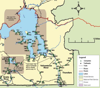 We were instantly drawn to the Thorofare Trail. This area is deemed one of the most “remote” parts of the country. It follows the Yellowstone Lake and River to the park boundary and sits nearly 25 miles from any road in every direction. It took a great deal of research to make sure we would be safe in bear country when so far from rescue. We have never done a trip this long and intense before. We spent days planning out our trail, buying new gear, and packing up our campfire meals for the week long adventure. You can read all about our research, planning, and packing process here.  Once we were all packed and ready to go, we set out from Denver and arrived at the backcountry office near the southern entrance of Yellowstone 9 hours later. We met with the park ranger to discuss our plans and receive all of our necessary passes. The ranger made some phone calls while we watched a 20 minute safety video about how to handle different situations in the backcountry. He told us that we would have to be very careful because of nearby bear activity and high water in some of the creeks we would have to traverse. We felt that we were prepared mentally and with equipment, so we signed all of the necessary paperwork to confirm that we knew the dangers and paid our fees. To see what gear we carried check out our detailed post here - it lists our most essential items and the few things we wished we had chosen differently. 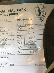 It cost $3 per night per person to camp in the backcountry. We also picked up Yellowstone fishing licenses which were $25 per person for 7 days (3 day and season long permits are also available), and it is important to note that Wyoming Fishing licenses are not valid inside the park. Our total came to $86 for both of us. After the ranger handed us our permits and a detailed map, we headed on our way. We arrived at the Nine-Mile Trailhead on the east side of Yellowstone Lake around 4 pm. With full packs and big smiles, we started our journey into the unknown. Trail Day One – Getting going: 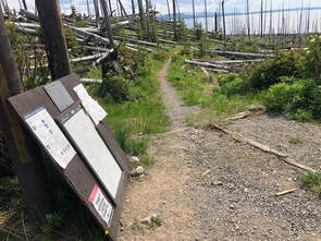 Our first day was an eight-mile hike, along the banks of Yellowstone Lake, to campsite 5E6. The trail did not start off as scenically as either one of us was expecting. We started in a valley of downed trees that had been burned by fires decades ago. For the first mile or so, these charred and damaged trees surrounded us. The lake provided a stunning background behind the broken limbs and blackened stumps and helped make the journey feel less eerie until we entered the wooded and swampy areas. 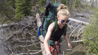 We had to cross several streams on the first day starting with the bigger Cub and Clear Creeks. Each one had large rocks or fallen trees we could walk across making for fairly easy crossings. When we got down around mile 6 near campsites 5E9-5E7, the trail started to change. The Meadow Creek watershed area is where we really entered into the deep woods. The trail became muddy and marshy from snowmelts, recent rainfalls, and little sunlight that broke through the heavy forest canopy. We also noticed a change in the environment by the bugs. 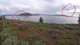 From here on out, the trail was swarmed with hundreds of pestering mosquitoes, flies, and gnats. I really wish I could put into words how many bugs there were on this trail. It was something we were absolutely not prepared for. We quickly learned that we had underestimated the amount of bug spray and bite treatment we would need for the week. It was one of the more valuable lessons we learned on this trip, and you can read about our 10 biggest takeaways from our first backpacking trip in this post! 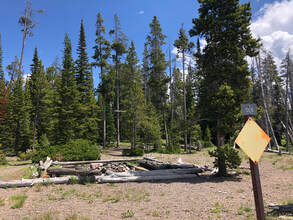 Campsite marker from the banks of the lake, there is also one on the trail. Campsite marker from the banks of the lake, there is also one on the trail. The heavily wooded area ended, and for the rest of the trail, we went in and out of woodsy patches and flowering valleys along the shores of Yellowstone Lake. We caught a break in the curtain of bugs just in time to see the marker for our campsite about two miles after crossing over Meadow Creek. We walked up around 8:30 pm with just enough sunlight to set up our tent and get a fire going before nightfall. Every campsite we visited in the backcountry had a designated campfire area complete with a fire ring, logs arranged around it for seating, and structures created by park rangers for hanging food high enough to be kept away from bears. We staked out everything and set up our tent in accordance with the wind so that the food smells wouldn’t bring bears toward us in the night. John tried his hand at fly fishing while I prepared our dinner. We sat around the fire, ate our meal in awe of the number of stars we could see, and discussed the sheer grandness of our visible Milky Way. This was one of the only clear evenings of the whole week, but still, it rained that night and well into the morning. Trail Day Two – Our first attempt: 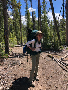 Day two was one of our longer planned days, but we weren’t able to leave our tent until almost 10:30 am. By the time we ate breakfast and packed up our tent and gear, it was almost 1 pm when we got back on the trail. We had almost 10 miles ahead of us as we attempted to make it to campsite 6B1. I say attempted, because that was all we were capable of on this day. The slight exhaustion and the soreness from the day before settled in and made for a fairly hard day for us. Also, starting in the middle of the day made for a much hotter walk than either of us wanted, because we were covered head to toe to protect against the vicious bugs. 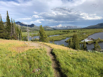 The hike was very similar to the day before’s hike with periods of thick forest and open valleys that exposed views of the lake. The exception was that this day featured many more wildflowers. Instead of having forest fire damage and downed trees, the open parts of this trail were grassy hillsides covered in purple and yellow flowers stretching into the distance. As we got closer to the southeastern arm of Yellowstone Lake, we started to see snowy caps on some far away mountains. It baffled us that the peaks remained frozen in the heat of July. 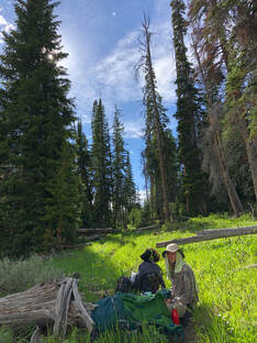 After lots of stops, swats at bugs, and a few slips, we had gone eight miles out of our arranged ten. We had to make the decision to not continue on to our campsite at 6B1 and stop at 5E1 because of exhaustion and a dangerous looking Beaver Dam Creek crossing. It was almost 9 pm when we arrived at the ridgeline campground. We had just a few minutes of sunlight left when we set up our campsite and started a campfire. We were both a little disappointed in our progress that day, because we were walking at nearly half the speed we normally do when hiking, and we discussed ways to make up the ground we had missed. 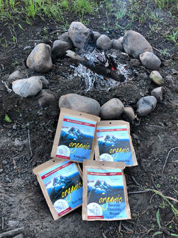 For the first time, we tried our Mary Jane’s dehydrated meals and enjoyed a hearty bag of black bean soup and two burritos each. We were really making sure to load up to help fuel our next day on the trail. Before departing on our trip, we spent a great deal of time comparing dehydrated meals, and we felt that we made the best decision by choosing Mary Jane’s meals. The sodium content, calorie amounts, and organic ingredients were great features, but the actual taste and heartiness of the meals convinced us to keep using Mary Jane’s for every trip we take. If you want to read more about our food prep and decision process, check out this post! We weren’t able to enjoy the night sky for long before storms started to roll in over the mountainous horizon, so we hopped in our tent after dinner and let the thunder put us to sleep. We woke up early the next morning to get a good start on the day. Trail Day Three – The Incident: 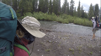 As we were packing up that morning, two park rangers arrived at our site. They asked to see our permits and asked why we didn’t make it to our designated stop. We told them that the approaching storms had worried us and that the water of Beaver Dam Creek didn’t seem safe to cross so close to nightfall. They agreed that we made the right decision and confirmed that the creek was flowing swiftly and reminded us that we would need to be careful when crossing. They told us to get back on track with our permits and try to not stray from them too much. We told them we’d do our best. Once we were packed and ready to go, we hiked down the hill to Beaver Dam Creek around 10 am. We got to the water, rolled up our pants, put our water shoes on, and I pulled out my hiking poles. We thought we were prepared for the crossing, but those thoughts of preparedness turned out to be my downfall – literally. 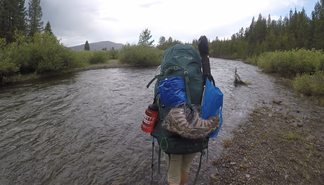 John and I approached the rushing water with too much confidence. We arrogantly but unintentionally ignored some of the things we had been shown in the safety videos and been told by the rangers. When we entered the water, it was only about shin deep and lead us to falsely think we could cross it independently. Instead, the creek deepened quickly and the current got stronger as we went further in. Instead of holding hands or linking arms as we had been shown, we walked side by side until I slipped. The water completely knocked my feet out from under me, and I started to tumble. The weight of my bag and the gushing water coming over me made it impossible for me to gain my footing back or even stabilize myself enough to stop floating down the river. In a matter of seconds, I was being carried downstream dozens of yards from John and the shoreline. Never in my life had I yelled out for help the way I did in this situation. John instantly ran to shore and dropped his bag in hopes of helping me. Somehow, I managed to grab a nearby tree limb and pull myself out of the water before he could arrive. 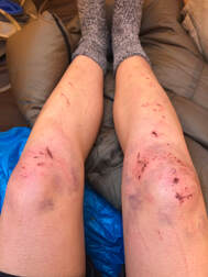 It wasn’t until I was on the bank of the river that I realized I had badly hurt myself in the fall. When I tried to stand up, my right knee went out and started throbbing. I looked down and found that I was bleeding and already covered in bruises. John ran to me, helped me get up, and grabbed my gear. We backtracked the few hundred feet we had just hiked to the creek and arrived back to the safety of campsite 5H1. After cleaning up my wounds and laying out all of my clothes and gear to dry, John and I reevaluated what just happened and realized how big some of the mistakes we made were. It was another lesson we had to add to our experiences, and we both agreed to never underestimate a river, stream, or creek ever again. I was glad we put so much consideration into what was in our first aid kits, you can read about what we carried in this post. My cuts and scrapes could have been easily infected, but we made sure to take good care of them immediately. 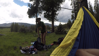 We spent the rest of the day recuperating, relaxing, and soothing the wounds from that morning. We made the decision to stay the night at 5H1 again and head back for the trailhead the next day. It was not an easy or fun discussion especially considering that we were only about half of the way down the trail that we were hoping to finish, but we knew it was the right decision. We set up our hammock and took a nice mid afternoon nap before walking back down to the creek to try our hand at some fly fishing. It was really the first opportunity we had to take significant time to try it out. Even though it wasn’t very successful, it was still fun practicing our casts and rigging up the gear. When the bugs got bad and the sun started to set, we headed back up to the campsite to make some dinner. We enjoyed our Mary Jane’s again just before a storm rolled over us. We slept like babies to the sound of pouring rain and regained our energy for the next day's hike. Day Four – The start of the return: 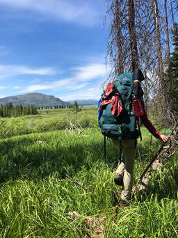 Since the timeline we were given was all messed up, we set off on the trail not knowing what campsite we were going to make it to or how long of a day we had ahead of ourselves. We didn’t really care though. The lack of structure meant that we could take our time getting back and make more stops to better enjoy the trail and wilderness. We were having a very strong day, because the lazy day before really gave us our strength back. We were going at our usual 2 mile per hour rate until John let his focus slip and had a fall that resulted in a punctured palm. Luckily, we were only about a mile from a campsite, so he cleaned, treated, and bandaged the hole in his hand before we pushed on to the site. 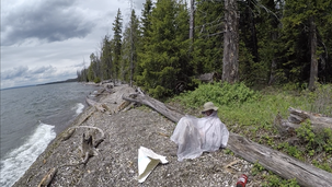 We arrived at campsite 5E4 around 1:30 pm and better doctored John’s wound before an afternoon storm rolled in. We managed to get our rain gear set up and enjoy a lakeside lunch before we had to take shelter. The storm lasted a good little while. Since we didn’t have a plan for the night, we decided to set up camp when the rain stopped even though it was only around 4 pm. We managed to make a small fire with the damp wood around us and watched as the lake started to get dark and choppy again. This night, we weren’t as fortunate as others and had to eat our meals inside of our tent, because another storm came in so quickly.  The dehydrated meals’ packaging made it so easy to cook and eat them that we actually enjoyed sitting in the cozy ambiance of the tent for our meal. We went to bed after getting rid of our food waste and hanging up our bear bag. It was still raining, but we knew that it was necessary to get all of our food waste and gear out of the sleeping area. Day Five – The final stretch: 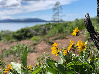 After a good night’s rest and a very hearty breakfast, we got on the trail around 9 am on what would turn out to be our last day on the trail. We were able to cover more ground than we expected, since our bags were getting a little lighter from consuming food and medical supplies, and we were well rested from a couple of shorter days. 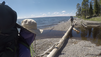 When we stopped for lunch at campsite 5E8, we decided to go for about 3 more miles to reach the last campsite before the trailhead. We were never able to find campsite 5H1, because it was still closed for the season. Before we knew it, we were at Cub Creek and only about a mile and half from the trailhead. We knew we were heading into the forest of dead trees and sunshine, so we stopped one last time for a power snack and to refill our waters. 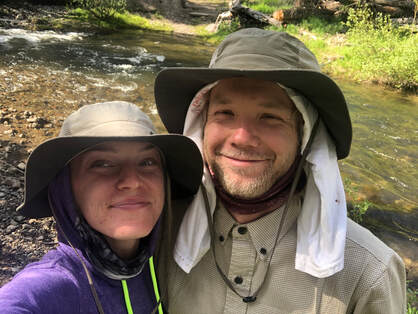 We were off the trail and back at my car around 5 pm on the Fourth of July which gave us enough time to catch some fireworks. Even though we didn’t make it nearly as far as we wanted, the timing ended up being perfect to allow us 2 ½ days to travel around the park and see its more touristy highlights. You can see photos and read our post about our road trip around the park here. We learned a lot on our first multi-night backpacking trip, and doing it in our nation’s first national park made for an incredibly special trip. Since we didn’t finish the trail or get to fish the Yellowstone River, we are already getting plans in place to return to this remote destination and successfully explore its entire length. You can see our entire hike on our YouTube channel here!  After seeing Widespread Panic for the first time at Sloss Music & Arts Festival in 2016, I was hooked, so when John said to me, “Taylor, Widespread is playing in 10 hours just 6 hours from here. You want to go?” it was a no brainer. We made it to Telluride with what we thought was plenty of time to buy tickets and get in before the show started. As it turned out, the box office had sold out of Friday night tickets, so John and I were forced to look for tickets outside of the festival. We were never able to find single day tickets, but we bought weekend passes and thought, “We’ll stay for another day of the festival or sell the passes.” After having the tickets emailed to us, we hopped in line as the show started at 7 pm. 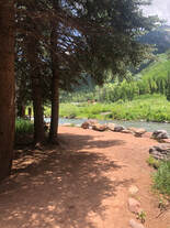 Where we stood in line Friday night for security. Where we stood in line Friday night for security. Telluride has very strict noise ordinance, so the bands are only allowed to play during their allotted times. Though they are a notoriously late band, Panic started playing right on schedule in an attempt to respect their 10 pm cutoff time. Apparently other “spreadnecks” thought the same as John and I, and everyone showed up around the same time. As the first four songs played, we waited in the blocks-long security line. We were not happy at first, but Panic put on such a great show that we forgot how mad we were after finding a spot in the crowd. 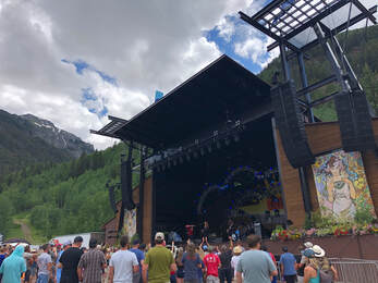 The festival venue is unbelievable. The stage is set up against the mountainside, so we were looking not only at an incredible show but stunning, lush mountains while listening and dancing to really, really good music. Both nights’ sunsets added to the already wonderful ambiance, and when the moon rose on the second night, the whole crowd erupted into howls. The merchandise tents and food vendors were set along the back edge and allowed plenty of space to keep the lines from congesting the venue. Ride Fest allowed us to bring in food, water, and tents, but no alcohol was allowed in. There was plenty of space for families and groups to spread out blankets and sunshades behind the soundboard which also meant plenty of space for dancing and running around. 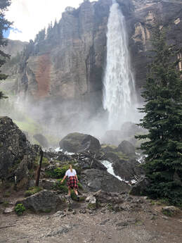 Along with tickets and weekend passes, the festival also sold camping passes. The campground was adjacent to the music venue but required a different wristband to enter. Sadly they were all sold out when we got into town, but John and I walked right in without wristbands on Saturday morning and were able to take a look around the campgrounds. Before the shows on Saturday, we took a lovely hike up to Bridal Veil Falls. This is one of Telluride’s most popular trails, and it leads to Colorado’s tallest free-falling waterfall! It’s about two miles to the base of the waterfall and an additional half mile to the top of it. The entire hike looks down on the town of Telluride, and the views only got better the further up we went. So far, it is one of my favorite hikes in Colorado that is less than 5 miles long. 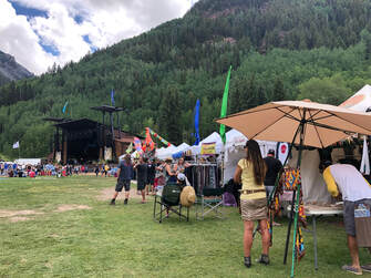 After our hike, we headed into town to grab a bite to eat at The Floradora Saloon. As a lot of other things in Telluride, the “saloon” was very bougie, but we enjoyed our burgers and a few cocktails before heading to the festival. Day two of the festival included other bands such as Temperance Movement and Thunderpussy, but we only went for Big Something and Widespread Panic. This was our second time seeing Big Something and nearly our 10th time seeing Panic. Big Something put on a groovy rock show that put us in the mood for dancing. Their Ewi player, Casey, laid down the funky sounds while the lead singer, Nick, spit some mean rhymes on their more upbeat tracks. 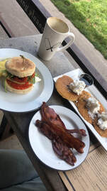 Panic put on one burner of a show. Two hours and fifteen minutes of uninterrupted rock and roll made for one of the best WSP shows I have seen. Late in the show, the lead singer, JB, addressed the audience, “To put it into words, we’re happy to be here.” These words perfectly summed up the atmosphere of the festival and their gratitude for the crowd. At 11 pm sharp, the band wrapped up without an encore thanks to city ordinances. The festival features a series of late night shows around town called Night Ride, but John and I opted out of these free shows to find a place to camp. We woke up a little sore on Sunday from the hiking and dancing we had done the day before and opted not to do any hiking that morning. Instead, we grabbed a bite of breakfast at The Butcher and The Baker (still curious where the candlestick maker is). We enjoyed a wonderful, al fresco meal on the main street of Telluride while talking to other festival goers about the shows we had seen. 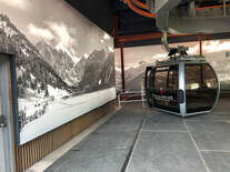 We had noticed that the gondola next to the festival entrance was in operation, so we decided to see where they led and check out some of Telluride’s slopes. Even though there was no skiing, the lifts were crowded with tourists, mountain bikers, and hikers. We got off at the Mountain Village and explored some of the trails and shops before taking a second gondola to Market Plaza. There wasn’t as much to see at the second stop, so we quickly hopped back on to enjoy the views of the ride again. The perspective of the mountains and valley that host Telluride was incredible. We were glad to have gone, and we were even happier that it was free! 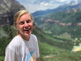 We had never planned on going to the shows on Sunday, but we had a little time to kill before heading back to Denver, so we popped into the festival to catch the last few songs of Dorthy’s performance. The crowd was a bit smaller that early in the afternoon, but everyone was still moving and grooving to the music. When they wrapped up, we decided it was time to wrap up our trip too. Everything from the festival lineup, to the venue, and the town was absolutely perfect. Going to Ride Fest was one of the best day-of decisions I have made in a long time, and I cannot wait until next year or until the next Widespread Panic show. This is from my first trip to Great Sand Dunes National Park. I have since been back two other times which you can read about, here. Our weekend started Friday after work when both of us drove south from Denver. The drive is a short four hours! We had planned to camp at Zapata Falls, but the road was terribly washed out from the recent snow melt. It was a blessing in disguise, because we found a wonderful Bureau of Land Management spot at the base of Mount Blanca. It featured a fire ring and a gorgeous view! 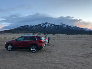 We woke up from a chilly night, enjoyed breakfast around our campfire, and decided to attempt the drive up to Zapata Falls. Good thing we did! The road wasn’t as intimidating in the daylight, but the entire four mile drive to the trailhead was very bumpy and rocky. What lay at the end of that bumpy road was worth every questionable turn we made. 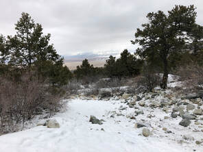 Zapata Falls, in the middle of March, was a frozen masterpiece. The half-mile trail and the views surrounding the Sangre de Cristos mountains were covered in a light layer of snow. It made us feel like we were wandering into a true winter wonderlan, but none of this magical hike compared to the sheer beauty of the falls themselves. The falls are hidden inside of a small slot canyon. Luckily, in the winter, you don't have to wade through water to see them. Instead, you have to carefully walk across and climb up the ice to see its shimmering sculptures. 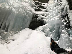 We had the falls all to ourselves for about 30-minutes, so we took our time taking pictures and peering at the gushing water that could be see through holes in the ice. When we were done, other groups started to show up, and we decided it was the perfect time to head to the Great Dunes!  Our first stop inside the park was the visitor’s center to try to obtain backcountry camping passes. Sadly, since we had her puppy with us, we weren’t able to camp among the dunes. Dogs are allowed in the backcountry, at any time, but they are not allowed to 'sleep or stay overnight'. Weird, right?) The ranger did give us great advice on how to get up the dunes easily. 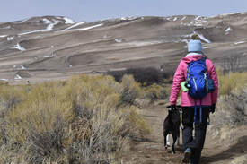 When we parked our car at the trailhead, it was snowing hard. We could barely see the dunes, which were only 300 yards away. We debated if we'd be crazy to go out there, but we bundled up and hit the sand. Within five minutes of walking through the whipping and snowy wind, the sun started to shine and the clouds parted. We walked along the base of the dunes as flatly as we could before heading up the ridge. We could not believe the views for the entire hike. Not only were the dunes themselves impeccable, but the 360 degree views of the surrounding mountains made the landscape that much more stunning, and the views only got better the more we climbed. 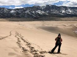 By the time we started to climb the dunes, we both had to strip off a few layers, because we had gotten so hot. Walking up the sand was not easy! For every three steps I took, I'd slide back one. Luckily, the melted snow made the sand a little sticky and made the hike a little easier than it normally would be! We couldn't tell you our path really. We just tried to not change elevation too often and did it gradually when we had to. There are no trails or markers in the sand, so it will be up to you to find the easiest way up. 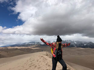 We reached the peak of the dune that we had chosen to climb, and we were rewarded with unreal views of the vast park. The dunes went on for as far as our eyes could see. It looked like they went right up to the base of the mountains. It was incredible, and we sat and stared for a few moments. The temperature had dropped, and the wind had picked up at the top of the dunes, so we didn't stay long.  The trek down the dune was much easier than the journey up. In fact, we ran and rolled down half the hill laughing and acting like children. It was wonderful. When we reached the car, we decided to go back to the same campsite as the night before and get our campsite set up before dusk. It was already around 5:30, and we were exhausted from the long and exhilarating day. 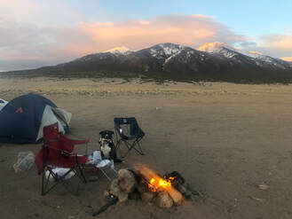 We built a bonfire, roasted weenies, and made s'mores with the stunning views of Mount Blanca in the background. We sat around and made summer plans to climb the looming 14'er and camp in the dunes. Before calling it a night, we both agreed that today had been perfect. From the timing of the weather to the things were able to see, it had all fallen into place perfectly. We both went to bed with big smiles on our faces giddy to get back already! I have since been back to the sand dunes for two other trips. You can watch and read about those adventures, here. 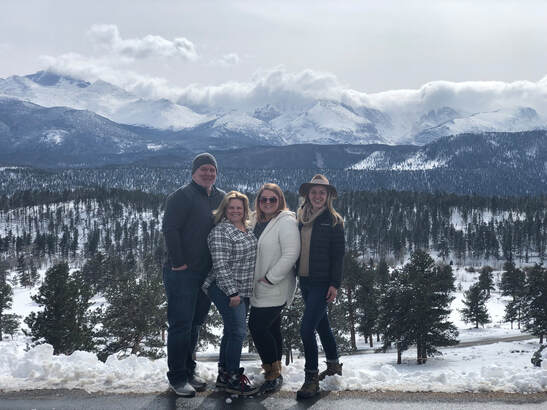 It is so weird to look back and realize that it has already been three years since I took my senior spring break trip to Breckenridge. Now, my little sister is a freshman in college, and she decided to spend her spring break week with my parents visiting me in my new home in Colorado! Colorado Springs: Broadmoor's Seven Falls, Garden of the Gods, and Air Force Academy We started our week together by meeting up in Colorado Springs bright and early Sunday morning at The Broadmoor’s Seven Falls parking lot. We said our hellos, hoped on the bus, bought our tickets, and set off on our wonderful week together! Starting at Seven Falls was a great idea, because the park was practically empty, but it did mean that it was still a little icy and chilly.  The hike started with The Pillars of Hercules's epic orange slot canyons. It's just short of a mile to the falls, but it took us quite a while to walk while we were taking pictures and gawking at the massive rock formations. We followed the South Cheyenne Creek to the end of the hike where a platform with a little gift shop, restaurant, and, of course, the falls were waiting for us. 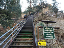 Overall, it's a short hike, but you might end up walking quite far depending on how many flights of stairs you climb or which trails you take at the top. We chose to climb the stairs leading to The Eagle’s Nest, because the other stairwell was very icy. After 224 steep steps up, we made it to the overlook to take in the panoramic views of the falls and the incredible Pillars of Hercules that surround it. 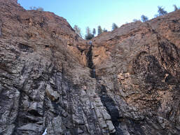 Most of the falls were frozen, but we could still hear water gushing under the tunnels of ice that were hiding it. It was stunning to see, and the views were great, but we were very chilly at that height. We decided to head back down the stairs and the trail toward the car after only about five minutes at the top. (You can see and read more about this quick hike in my seperate blog post, here!) 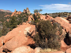 When we got to the car, we decided that our next stop would be The Garden of the Gods before heading into town. It was a 15 minute drive from the Broadmoor to The Garden of The Gods. We drove through the park stopping along Ridge Road to take pictures at every viewpoint or pull off available. We, mystified by the vibrant red rocks, spent a couple of hours stopping and walking through the park. We all wished that we had gotten there earlier to do a hike and grab a parking spot so that we could have spent longer exploring around. 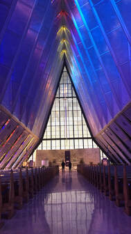 After my sister and I got an up-close and personal experience with some Mule Deer, we were ready to see what else Colorado Springs had to offer. Our next stop was a tour of The Air Force Academy from a family friend and current cadet. We met him at The Cadet Chapel at the front of campus to start. It was the easiest building to find and meet at, and it’s pretty famous for its stained glass, so we wanted to be sure that we saw this first.  After the chapel, we wandered clockwise around the large courtyard that surrounds the Air Garden and the Spirit Hill in the middle of campus. Our first stop was Arnold Hall. We then attempted to get into the library and a few similar buildings with no luck, since it was Sunday. We drove over to the sports facilities to see the lacrosse, baseball, softball, soccer, and rugby fields. We parked and walked inside to see some of the training facilities and wrapped up by driving to the overlook above the fields. It was a great view to end the wonderful day we had enjoyed together. Golden and Morrison:The next day, my family woke up early to visit the town of Golden and see my sister’s friend who attends the Colorado School of Mines. After grabbing breakfast and strolling through the shops, they stopped by Red Rocks Amphitheater on the way back to Denver. Denver:Later on, we all met up and were ready to go to a Denver Avalanche hockey game at the Pepsi Center. My family loves sporting events, so we had a blast together getting rowdy at the game and hoping for a good fight! Estes Park: Rocky Mountain National Park and The Stanley Hotel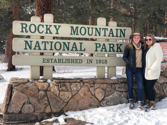 Unforeseen in our plans was a “bomb cyclone blizzard” that was set to hit Colorado Wednesday and drop feet of snow. My family had to be flexible and cancel their plans in Breckenridge which was difficult, but it led to two days of board games, snuggles, and watching movies while we were snowed in. Finally, the storm cleared up just in time for us to head north to Estes Park and check in at The Stanley Hotel. Before we dropped off our luggage, we decided to take the long route and drive through Rocky Mountain National Park. 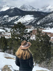 We started at the Beaver Meadows Visitors Center and continued up Highway 36. Only certain roads are open during the winter months limiting where we could go, so we made a big loop on 34 heading toward the Fall River Visitor Center. We stopped every with chance we had just as we had done at Garden of the Gods. We stopped for wildlife in the middle of the road, mountain views, a lake overlook, and other random stops along the way.  When we were out of the national park, we kept driving to Elkhorn Street and checked out the little downtown area. Every store had cute displays in the windows. Most were candy shops, so there were brightly colored, eye-catching arrangements everywhere we looked. When we reached what looked like the end of the street, we decided to check out the Wapiti Colorado Pub. After filling our bellies with bison burgers and local brews, we finally went to check in and explore around The Stanley Hotel.  We, of course, went to the bar and ordered, “the hair of the dog that bit me,” (but actually ordered shining inspired cocktails and beers). We tried to get on a ghost tour, but they were unfortunately all booked up. We still got to see where the haunted tunnels were and where a lot of celebrities had been, but we didn't see any ghosts or spirits during our stay.  We woke up the next morning to incredible views of the Rocky Mountains out our window and from the front steps of the hotel. It was the perfect view to have while saying our goodbyes to each other and the week we had spent together. We parted ways hugging and planning when our next vacation will be. We are very excited to see what else Colorado has for us explore!
As soon as we found a place in the crowd, it started to snow. The stage lights hitting the flakes looked like confetti fluttering around us, and the backdrop of mountains made this scene even more magical. We decided to go to the ‘Grass after Dark’ event hosted by WinterWonderGrass at Schmiggity’s. It featured the Jack Cloonan Band covering hit songs in a bluegrass fashion. We had a couple of beers and a few hot dogs while we danced around for the late-night tunes. Since ski towns are so popular this time of year, Airbnb’s and hotels can be expensive. We chose to take the less expensive route. We parked in The Routt National Forest and slept in our car camper. Park regulations state that campers’ vehicles must be two car-lengths away from the road. It didn’t take us too long to find a plowed parking space to back into comfortably. We pulled out our sleeping bags and called it a night. Day 2: Skiing at Howelson HillThough we woke up stiff and chilly, the sleeping arrangement could have been much worse. Properly rated sleeping bags and lots of layers are critical. We were up early, so we decided to head into Steamboat Springs to find a bite to eat. I had seen recommendations for Creekside Cafe on social media, so we luckily popped in before the morning crowd arrived. We walked down 11th Street to One Stop Ski Shop for our necessary rentals. It only cost us $25 each to get skis, boots, helmets, and poles for 24 hours. We loaded up all of gear and headed to legendary Howelson Hill ski area. We had stopped in earlier to see how much lift passes would be. To our surprise, a single day pass was only $25. (Compare that to Steamboat Resort’s $199!)
Learn more about Howelson Hill's famous runs in my more detailed blog post, here! Night 2: Music and Hot SpringsOur time on Howelson Hill did wear us out, but we weren't going to let anything stop us from dancing our tails off at the stages of Winter Wonder Grass. We saw Town Mountain, The Shook Twins, and The California Honeydrops before the headliners, Trampled By Turtles. We tent hopped and boot stomped throughout the night, but we left before the final show with hot plans in mind.
Read more from our night at Strawberry Hot Springs park in my blog post, here! Day 3: Exploring the Forest before the FestivalIt turned out that our parking spot from the night before was only one half mile from the springs. After another chilly morning, we decided to go back to Strawberry Springs get a few pictures and explore more of the forest. (I couldn't take any photos at night since clothing is optional, but I couldn't help but go back to the hot springs the next day to document where we'd been.)
Little did we know, we were heading toward the Buffalo Pass Winter Backcountry Area. After parking, we grabbed a pass and took a stroll down the well-packed road. There are designated boundaries for motorized vehicles and non-motorized activities, but snowmobiling seemed to be the most popular hobby among visitors. John and I marveled at the pristine snow pack before making our way back to Steamboat for another night of strings.
We were greeted by tunes from Pickin' on The Dead before Billy Strings blew our minds. A shorter set of Town Mountain gave us a chance to warm up with coffee drinks from the tent’s bar before the big headliner of the night, The Infamous Stringdusters. We snagged some pizza before the All-Star, late night set, then we hit the road back to Denver. Night 3: Our Return HomeThree hours and a few inches of snow later, we made it home safe and sound. We were exhausted, but we were in amazement at how incredible our weekend had just been. WinterWonderGrass is a great reason to visit Steamboat Springs even if you aren’t hooked on bluegrass music yet. Dancing to the rhythm of a stand up bass with hundreds of joyous people can only add to the charm and opportunities of Steamboat Springs. See more resent ski trips in other blog posts below:  Spending the holidays in Hawaii was a wonderfully different experience. Walking around the shores of Waikiki beach in shorts and a tank top while Christmas music played at a nearby food stall felt strange at first, but it didn’t take long for me to find the atmosphere relaxing, especially since this “vacation” was an all-expenses-paid trip. My sister and I were unbelievably fortunate to have been asked to help nanny for multiple families on a seven day cruise around the islands of Hawaii. All that was asked of us in exchange for flights, lodging, excursions, and, of course, the cruise itself, were some babysitting hours. For seven days, we woke up and took care of kids who ranged from infant to preteen and explored around as much as we could.
If you want to see more from our week long trip you can watch our videos on my YouTube Channel! Honolulu: Day One Moving a party of 16 people, their 20+ bags, strollers, and car seats through security and onto a plane for a long, direct flight from Dallas to Honolulu was no easy task. Somehow, we managed without any issues, and it felt great to get to our hotel and know that our vacation was about to begin. After a somewhat stressful check-in process at The Hilton Hawaiian Village – Waikiki Beach Resort, my sister and I were given the evening off to roam around. The first thing we did was watch the sun set for the night from the beach outside our resort.  Eating dinner waiting on the fireworks display. Eating dinner waiting on the fireworks display. On the way downstairs, we discovered that there is a weekly, seashore fireworks show launched from the hotel’s coastline. We decided to walk up the beach to grab a pierside, Polynesian-inspired dinner at Sun’s Up and claim a spot on the rocky ledges to watch the light display. After a fairly decent program of explosions and sparkling streams, it was time to call it a night and prepare for our early-morning hike. Honolulu and Pride of America: Day Two Sunrise from halfway up Diamond Head Crater. Sunrise from halfway up Diamond Head Crater. My sister and I woke up early to climb Diamond Head Crater and catch the sunrise. It was extra challenging, thanks to the time change, and sadly a 6 am departure wasn't early enough. Even though we weren’t at the top when the sun burst out, our view of the gleaming fireball as it peaked over the edge of the Pacific Ocean was more majestic than I could have ever imagined. (You can read and see more about this hike in my review: here!)  Breakfast at the local market. Breakfast at the local market. After many stairs up and back down, we headed back toward the hotel, but not before we stopped at a local farmers’ market on the campus of Kapi’olani Community College just across the street from the tunnel to Diamond Head. We enjoyed some fresh pineapple juice and breakfast empanadas before going back to the hotel to help the family round up the children and head toward our cruise ship. (You can see more details about both of our stops in Honolulu in this post!) 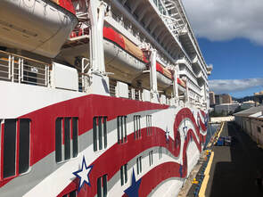 Boarding The Pride of America cruise ship. Boarding The Pride of America cruise ship. Luckily, the family had arranged transportation to and from certain places on the island so that we could all ride together with our luggage. Sometimes we were a little too proactive and over-estimated how long it would take us to travel places. A good example was when we boarded our ship, The Pride Of America.  The entranceway on The Pride of America. The entranceway on The Pride of America. Even after the ID checks, photo-ops, and payment stations, we were aboard the ship several hours before our room was ready. We eventually decided to claim stake at an unopened bar and keep everyone and their items there until the rooms were ready. Finally, we unpacked just in time for the safety checks and a barbeque on the pool deck. We had a calm evening getting accustomed to one another and preparing for the wonderful week we would spend together. Kahului, Maui: Day Three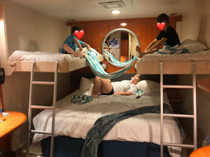 The stateroom my sister and I shared with the oldest two children. The stateroom my sister and I shared with the oldest two children. Cruise ship rooms are really small, but they seem extra small when you have to watch several children who crawl around and get bored easily. We spent the first day cooped up in the dorm-sized barracks of the cruise ship until the parents returned from their snorkeling excursion. Since we only had two people to push three strollers, leaving the room wasn't really an option. When everyone returned, we grabbed a bite to eat and prepared for our sunset excursion. 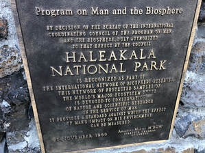 Again, most things were pre-booked and that came with some unforeseen difficulties. Some of the parents didn’t know that car seats were required for any excursion requiring a bus ride or that children under the age of 5 weren’t advised to go to high altitude - excluding them from our current excursion. Unfortunately, not everyone was able to travel to the top of Haleakala National Park to watch the sunset from above the clouds. Luckily, my sister and I were able to go, and we got to check a National Park off our bucket lists! We took almost an hour-long bus ride up narrow and windy roads to summit the volcanic caldera that is Haleakala. Being above the clouds when the sun set gave me a new perspective of the sun’s journey across the sky, and I was blown away by its radiance. 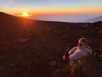 Watching the sunset from the top of Haleakala. Watching the sunset from the top of Haleakala. Once the sun had set, we hopped back onto the bus and made the windy journey back. We boarded the ship again, grabbed a bite, and hit the hay pretty early. I found out that taking care of kids and hiking at high altitudes are exhausting after flying through several time zones. Kahului, Maui: Day Four The bus dropped us off around 9 AM, right at the public beach access point. We enjoyed ourselves a great deal that day by taking in the sunshine and good conversations. We played Frisbee, made sand castles, and swam in the ocean almost the entire time. Around 2:30 PM, the bus came to pick us back up, and it was perfectly timed just before the clouds rolled in and the wind started to pick up. Even though it was a short time in Maui, I laid out some of our details and shared more pictures in this separate post: Read more here! Back on the boat, my sister and I got the night off, so we went to the formal dining hall, Skyline. We then tried to catch a show, but our timing was a little off, and we didn’t make it. We grabbed dessert on the deck and decided to go back to the room for some rest! Hilo, Hawaii (The Big Island): Day Five Breakfast one morning from our stateroom. Breakfast one morning from our stateroom. On day four, we didn’t have the same kind of lovely experience as we’d had in Maui the day before. My sister and I never got to leave the boat. Instead, we watched the kids from 7am to nearly 4pm while the families went on unplanned kayak and volcano excursions. We were disappointed, because we weren’t scheduled to watch any kids that day and were planning to knock Volcanoes National Park off our bucket lists. We couldn’t complain, because this was, in fact, their family’s vacation. Kona, Hawaii (The Big Island): Day Six Snorkeling in Kona, Hawaii as part of the Big Island Snorkel excursion. Snorkeling in Kona, Hawaii as part of the Big Island Snorkel excursion. Even though our beach day on Maui was the most relaxing part of our trip, my favorite day was in Kona. We started the morning off early by catching a tender boat to another boat for our Big Island Snorkeling excursion. The entire family, babies included, were able to go on this excursion. Luckily, the waves rocked the babies to sleep, so we took the older kids off the boat’s slides and diving boards and hopped into the water. We spent all morning splashing, snorkeling, and looking at all the coral and fish below us.  After dozens of dolphin encounters and flying fish sightings, we headed back to the port area to have an afternoon walk around the town. My sister and I found ourselves free to go shopping on the main street. We took a look around Hawaii’s oldest church, Moku’aikaua, before we checked out The Kona Brewery and Kona Coffee. Then, we went back to the boat to depart for another island. You can read more about our day in Kona in this separate blog post! Nawiliwili, Kauai: Day Seven Taking the river cruise to the Fern Grotto. Taking the river cruise to the Fern Grotto. The further we got into our trip, the more comfortable the family became with my sister and I. On day six, we only had one child to watch, and they said we could take him off the boat if we wanted, so we jumped on the opportunity to explore the new island! We spent the day carrying the baby on the Hop Off Hop Off bus and stopping wherever we could. The first stop was Wailua River for a river boat tour of the Fern Grotto where Elvis famously sang in Blue Hawaii. The boat captain gave us a detailed history of the area's ecology and geology and shared how the area had grown and developed since the publishing of the movie in the 60’s. When we arrived at the grotto, a group of locals sang the wedding song made famous in the movie.  Feeding birds at Smith's Tropical Paradise. Feeding birds at Smith's Tropical Paradise. After their lovely show, we got back on the boat and returned to the dock we came from. Right on the other side of the parking lot was Smith’s Tropical Paradise, a nature park and preserve full of tropical birds and plants. We fed peacocks, nenes, and dozens of other birds while carrying a sleeping baby on our bellies. We spent the afternoon wandering the beautifully kept, lush grounds until we had to head back to the cruise ship. You can see and read more about our entire day on Kauai in this extended post!  Our private dinner view at the Kilohana Manor House. Our private dinner view at the Kilohana Manor House. Since this was one of our final evenings, the family had arranged a very special luau for all of us to attend at the Kilohana Manor House. We took tours of the old sugar plantation and had rum tastings from their home-distilled liquor before sitting down for our delicious four course meal of local fish, fruit, and vegetables. The luau performance was unlike anything we imagined. Its modern flare applied to a traditional story incorporated a bit of acrobatics with lights and music. After the captivating entertainment, we got back on the boat and visited the Key West Bar on the pool deck for a night cap before the ship headed back to the port city of Honolulu. Nawiliwili, Kauai and Na Pali Coast: Day EightWe had a long night the night before, and we had lots of kids to watch on day eight, so my sister and I never left the boat. We ate burgers and mac n’ cheese at the Cadillac Diner and played games in our stateroom.  Our view of the Napali Coast from The Pride of America. Our view of the Napali Coast from The Pride of America. When everyone returned from their excursions and the boat departed, my sister and I headed to the top deck for a little quality pool time. We caught some rays before the boat drove past the Na Pali Coast. The unique geology of the volcanic ripples was unlike anything I had ever seen. The lush yet barren-looking spires made me want to hike all of the coastal ridges. Sadly, our ‘drive-by’ only lasted for 20 or so minutes. After the history lesson blared through the loud speaker system on the pool deck, our view of the Na Pali Coast diminished. My sister and I began to get ready for our last dinner and our last night of watching all the kids. We packed up our things and left them outside the door, as instructed, before taking the kids to play ping pong and run around the arcade. It was a fun and relaxing way to spend our last night on the boat. Honolulu: Day Nine Our departure from the boat was just as hectic as our arrival, but the family had again arranged transportation from our boat to the airport. Unfortunately, though, the timing of the shuttle and our flight were slightly off, and we arrived at the airport about 6 hours too early. My sister and I decided we would try to head out and go see Pearl Harbor while we were close. We extended an invitation to the party, but everyone else declined and chose to stay in the airport lounge. My sister and I took a quick Uber ride to the monument and were instantly humbled when we entered. It is one thing to hear about and see reenactments of what happened on that infamous date in December, but to stand inside the port and see some of what those soldiers saw was a life changing experience.  USS Bowfin memorial at Pearl Harbor. USS Bowfin memorial at Pearl Harbor. We started our tour by visiting the USS Bowfin Submarine which has now been turned into a museum and memorial. We walked through the ship’s barracks and caught glimpses of what life was like for a sailor. We emerged from the submarine, and again, we were ever more grateful for our armed forces after seeing the sacrifices they made to protect our freedom.  The USS Arizona memorial viewed from the boat. The USS Arizona memorial viewed from the boat. After walking around the memorial’s grounds and reading the names of all of the soldiers on every ship, we were ready to see the USS Arizona. Unfortunately, it was under construction, so we were only able to see it from the small trolley boat. What we were able to see was a sobering symbol of lives lost and a hard-fought battle. We were moved beyond tears remembering the sacrifices made that day. We stayed as long as we could before we needed to head back to the airport. We could have spent days looking over and memorizing the names of those lost on that day. Instead, we called our Uber back, hopped on a plane, and made our departure back to the main land. After a week of working hard and carefree vacationing on an all-expenses-paid cruise in paradise, we were back in the air heading toward reality. We could never thank the family that trusted us with their children and invited us on this trip enough, because we were provided the opportunity of a lifetime to go and do things we had never imagined. If you want to see more from our week long trip you can watch our videos on my YouTube Channel - here!
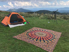 Max Patch is an Appalachian Trail campsite located on the North Carolina and Tennessee border near Hot Springs, NC. Taylor and I set out one October weekend to camp atop the hill. After we hiked the quick half-mile to the top and set up our campsite, we spent Saturday relaxing and exploring the hill and surrounding area. 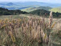 Tangled bushes were sprouting with delicate flowers everywhere we turned. Bees buzzed around the flowers while butterflies and moths bounced on the gentle breeze. Brave birds searched our campsite for singing crickets and camouflaged grasshoppers. Woolly worms inched through the same lush grasses where children and dogs frolicked. I recommend bringing a pair of binoculars to properly appreciate the visible distance from atop Max Patch. Taylor and I counted the fading peaks and admired the many shades of green trees that blanketed every one. 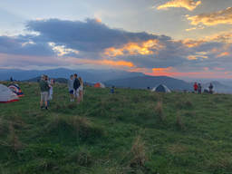 As nightfall neared, the hilltop began to fill with tents and the clamor of campers. Taylor and I set up on the East side of the hill, but the greatest view was had on the West side when our glorious Sun set the sky ablaze. Max Patch fell into darkness after the massive, glowing ball of fire disappeared behind the mountains. Columns of smoke rose from the campsites into a night sky that was just beginning to bud with brilliant stars, tinted planets, and entire galaxies. Though Taylor and I are far from experienced with our telescope, Max Patch is a wonderful place to have one. We identified several constellations and marveled at the dust of the milky way. It is truly humbling to see the vast totality of our cosmic perspective. Sunday morning, we woke up before dawn and began to gather our gear before the radiant, morning Sun cut through the clouds and fog. Everyone else around us started to wake and dozens of people gathered on our side of the mountain to watch the sun peak through the clouds for the first time that morning.  Taylor and I took one last walk around the top of Max Patch and found an unexpected sight. The lush, green valleys were overflowing with rivers of fog that looked undeniably similar to the glaciers we had recently visited in Iceland. The spectacle of fog at dawn was a perfect way to end an already unbelievable weekend. Max Patch is nothing less than a patch of heaven in North Carolina, and it has inspired me to further explore more of the expansive Appalachian Mountains. 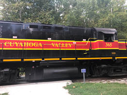 After a long day in Niagara Falls, we drove a quick couple of hours to Cuyahoga Valley National Park. We wish we could have camped in the park or taken the train around the park, but we only spent a few hours driving between viewpoints instead. 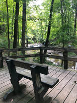 Our first stop was Bridal Veil Falls. It was a short but pretty walk from the parking lot to this little stream. The wooden walkway leads through the trees to a wooden bridge and viewing platform. The creek’s bedrock curves to create a waterfall that looks similar to a bride’s veil when the waters are flowing. There hadn’t been much rain when we were there, but it was still peaceful to sit and watch. 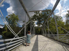 We didn’t stay long before we hopped back in the car to see the The Station Road Bridge. The old bridge over the Cuyahoga river was beautiful standing in contrast to the lush trees around it. 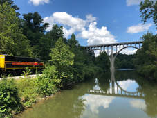 The view got even better when a bright red Scenic Railway train came rolling by. When the train stopped, a couple came kayaking down the river, and it became the most picture perfect scene for the national park. 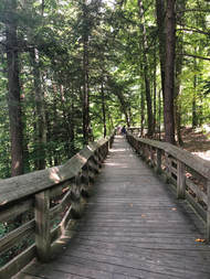 Our last stop was the park’s most visited area, Brandywine Falls. It was another quick walk from the parking lot to the falls, and this time there were different paths we could take. We could have either stayed above the fall or gone to see it from a lower deck. We chose to stay up above the falls first to get a closer look at the water and see just how fast it was falling. The 65 foot waterfall sends water down a rocky journey that creates choppy, white water along the rock wall before continuing toward the Cuyahoga River. We followed the water downstream and walked back down the boardwalk to the stairs and lower deck. We admired the unique waterfall and took pictures of each other while discussing how beautiful the entire park had been. We really wish we would’ve had more time to see the ledges and ride on the train at sunset, but our few hours will have to do until next time. I can’t wait to go back!
 The summer of 2018 was a very special one. At the beginning of the summer, John and I were able to see dozens of waterfalls in Iceland, including Europe’s most powerful waterfall. I was then able to wrap up the summer by spending my Labor Day weekend at Niagara Falls, the most powerful waterfall in North America!  Like most of my trips, this one was decided at the very last minute. The trip wasn’t planned at the last minute, and I didn’t know about it until the weekend before we departed. We left Nashville around four p.m. on Friday heading to Columbus, Ohio and we arrived at our friend’s apartment around ten p.m. after a slow ride in the pouring rain. I wish we could’ve stayed longer in this capital city, instead we woke up and were out of the door by nine a.m. Saturday morning leaving for Niagara Falls. I have to go back to check out the German Village and other cute areas.  We didn’t get to the falls until three p.m., but we parked the car to head straight to the Maid of the Mist. We had an absolute blast getting up close, personal, and soaking wet with all three of the waterfalls at Niagara.  We started with The American Falls, moved on to Bridal Veil Falls, then saw the main attraction, Horseshoe Falls. The Maid of the Mist was, by far, the best part of the weekend. (Click here to see more pictures and read more about our ride!)  After we changed our soaked shoes, we hoped in the car and headed to Canada. The Canadian side was much prettier than the American side. The view of the falls is better, but there are also grassy leisure areas and beautiful foliage all around. 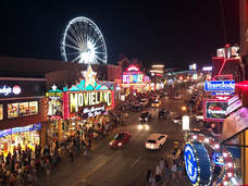 We spent a few hours strolling the walkway around Victoria Park while watching the sun set. We then walked up the street and tried some beers at The Niagara Brewing Company before wrapping up the night watching fireworks over the falls. We headed to our CouchSurfing host’s cabin about 10 miles from the falls. We crashed immediately after arriving, so that we could wake up early and drive back to Ohio for the next attraction on our road trip. 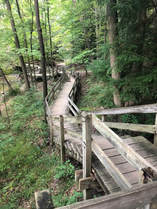 Cuyahoga Valley National Park is a wooded oasis outside of Cleveland, Ohio. We all wished we could’ve stayed long enough to hike and camp in this lush landscape, but we drove through the park and stopped at the notable viewpoints instead. Bridal Veil Falls, The Station Road Bridge, and Brandywine Falls are all stunning. We also saw the famous Cuyahoga Valley scenic railway and train! 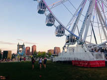 We only spent a few hours in the park before heading to Cincinnati to watch the WEBN Labor Day fireworks show over the Ohio River. The next morning, we meandered back to Nashville, stopping at The Arc Encounter to see what the hype was all about. 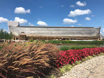 We didn’t pay the hefty $50 fee to tour the recreation of the Biblical feat. We only walked around the outside of the massive boat and enjoyed the petting zoo. It was an incredible structure to see in person. We finally made it back to Nashville, and that’s when it sunk in: We drove to Canada and back in one short weekend. It was quite the trip, and I am so happy to have gotten the last minute invitation. I wouldn’t have missed it for anything! |
Talkin' 'bout Tacos:
I'm Taylor, aka Tacos! I am sharing my journeys and experiences from across the world hoping to inspire travel and adventure in all who read. Archives
November 2023
|
