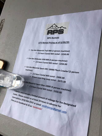
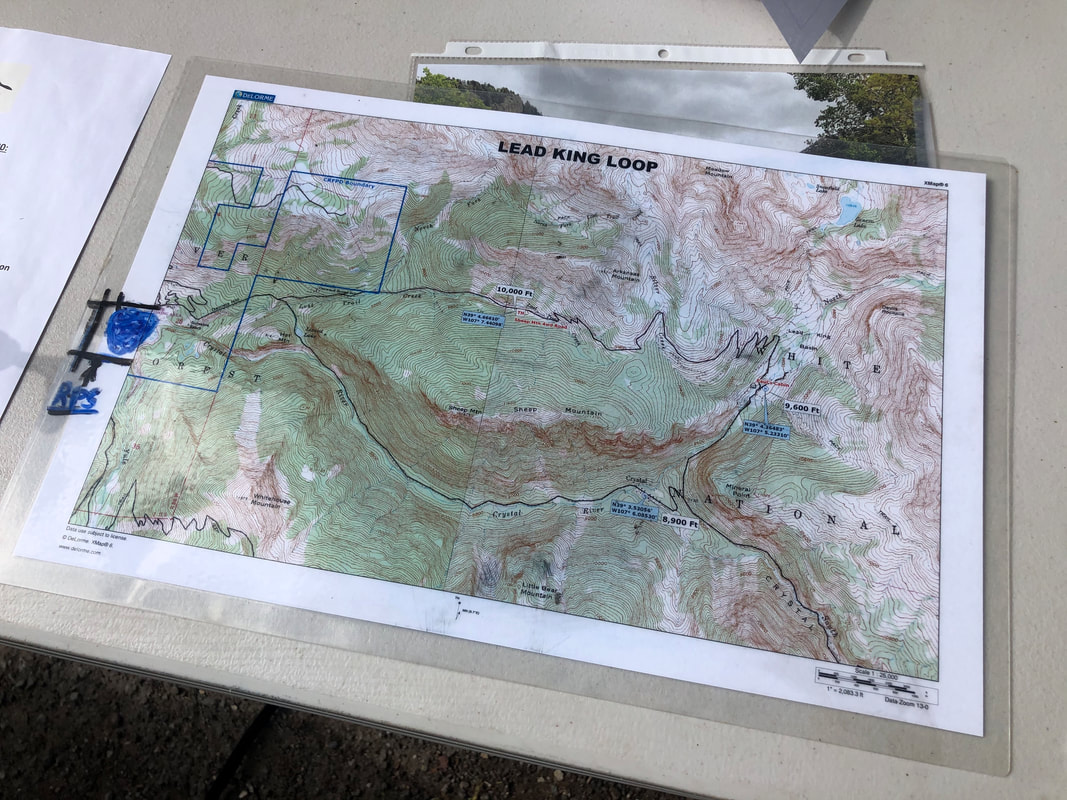
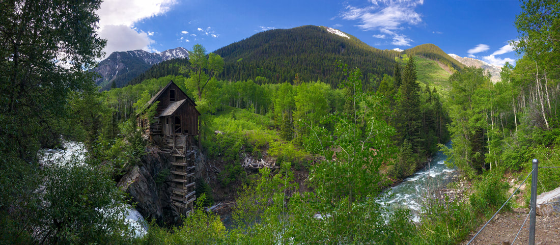
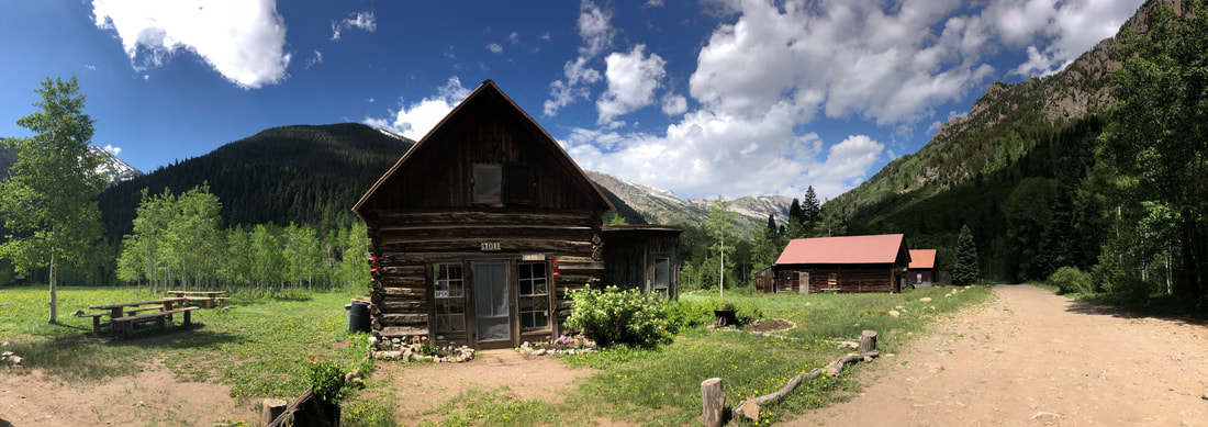
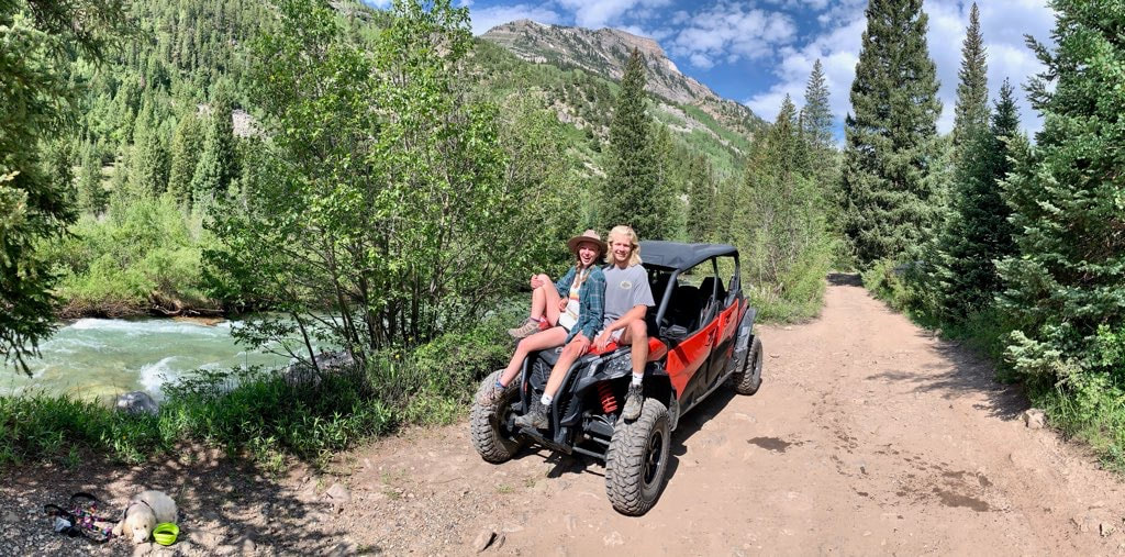
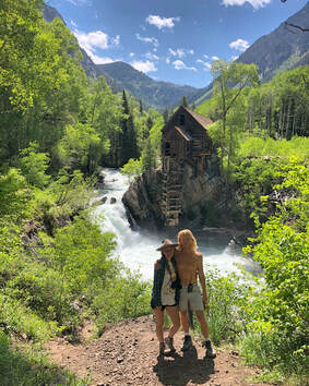
 Crystal Mill has been at the top of my Colorado bucket list since before I even moved here. At the time of this visit, I had made about a half dozen trips to Aspen and Carbondale without ever going near the mill. One weekend in June, John and I headed west just to see this special place. We woke up Saturday morning ready to make the hike up, but when we checked the weather, we discovered an afternoon storm would be rolling through as we would be reaching Crystal Mill. I was determined to not let this stop us, so we set out anyway hoping to beat the storm. On the way there, our friend suggested we rent an ATV to drive up to the top and outrun the weather. He told us that there is a rental place close to the trailhead, so we set our GPS to RPS Rentals in the town of Marble, Colorado. You can see more from our day trip up to Crystal Mill on my YouTube channel HERE! 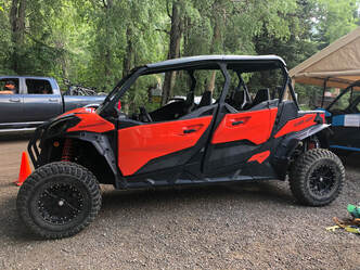 The UTV vehicle we rented. The UTV vehicle we rented. Outside the tiny rental shack were a fleet of off road vehicles. We spoke with the friendly owner, and he gave us the lowdown on the vehicles, the rental prices, and all of the rules. Unfortunately for the four of us, he only had a three-seater available. While we were conversing back and forth about how we could manage seating arrangements, the owner received a call from his next reservation saying that they were cancelling because of the weather! It just so happens that the next reservation was for the four-seater. The timing was perfect! The four-seater, for 2 1/2 hours and strictly 12 miles, cost us $350. It was something John and I would not have splurged on had we been alone, but we took the leap with our friends. In the end, it was worth absolutely every penny. 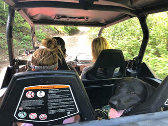 The seating arrangement after Maria got tired from running behind. The seating arrangement after Maria got tired from running behind. The OHV road to Crystal Mill had just been reworked during the previous fall and was in much better shape than we had anticipated. Another group of our friends were able to drive a Toyota Four Runner up to the mill. We realized that the rental wasn’t completely necessary, but the ATV was way more fun. There is no doubt in my mind that we made the right choice of vehicle 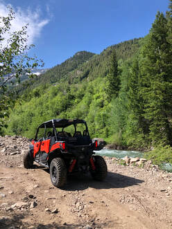 Riding along the Crystal River. Riding along the Crystal River. Even though the road wasn’t as rocky or bumpy as we thought it would be, it was still extremely narrow and windy. The entire ride follows the Crystal River and features absolutely breathtaking views of the surrounding mountains. It was only about 5 miles from RPS rentals to the top of the mill, and it took us around 45 minutes to get there. We got to the top when we weren’t even expecting to be there yet. 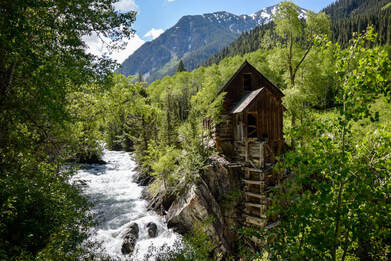 The first view of Crystal Mill we got! The first view of Crystal Mill we got! We were driving up through a thick grove of aspen trees, seemingly out of nowhere, Crystal Mill came into sight. We quickly parked the ATV and walked over to get a closer look at the spectacular wooden structure. Somehow, we were the only visitors there! We couldn’t believe it considering that it was noon on a Saturday! This meant we were able to take pictures, talk, and walk around with only the sounds of roaring Crystal River in the background. 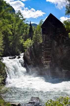 The view from the lower trial we paid for. The view from the lower trial we paid for. There was a nice, young ranger near the roped off trail to the shore who knew some facts about the mill and was collecting donations for the Crystal Mill Ranch Foundation. He said that if we made a donation, we would be allowed access to a trail that leads down to the river and closer to the mill. We quickly handed him some cash and nearly sprinted down the short hill. We couldn’t wait to see the powerful river and feel the mist of the rushing water up close. We walked down to the water and stuck our feet in the freezing cold water. The dogs took a dip too, while we all laughed and talked about how incredible all of this is. Soon after, we decided it was time to head further up the trail and check out the town of Crystal. 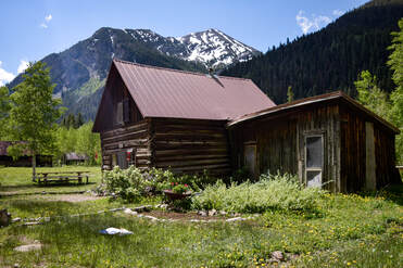 The small store in the "ghost town" of Crystal. The small store in the "ghost town" of Crystal. We made the quick drive up the road, and before we knew it, we were standing in the once-abandoned mining town. Crystal was once powered by the mill we were just visiting and is a very interesting place. It is called a “ghost town”, yet you can rent cabins or find college students living and working in the town for the Crystal Mill Ranch.
We pulled out of Marble with gigantic smiles on our faces laughing and reminiscing on how perfect the entire morning had been. We all agreed that this was the absolute best way we could have driven up to Crystal Mill, and as soon as we pulled out of RPS Rentals, the rain started. We all shared one last, big laugh at the perfect timing of our visit and headed over to Slow Grooving for a delicious bite of bar-b-que.
4 Comments
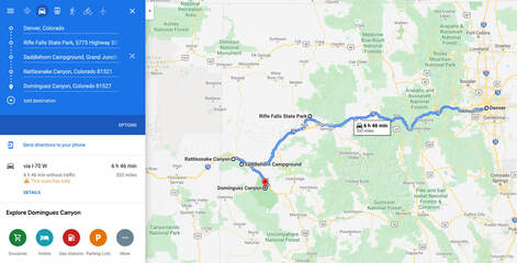
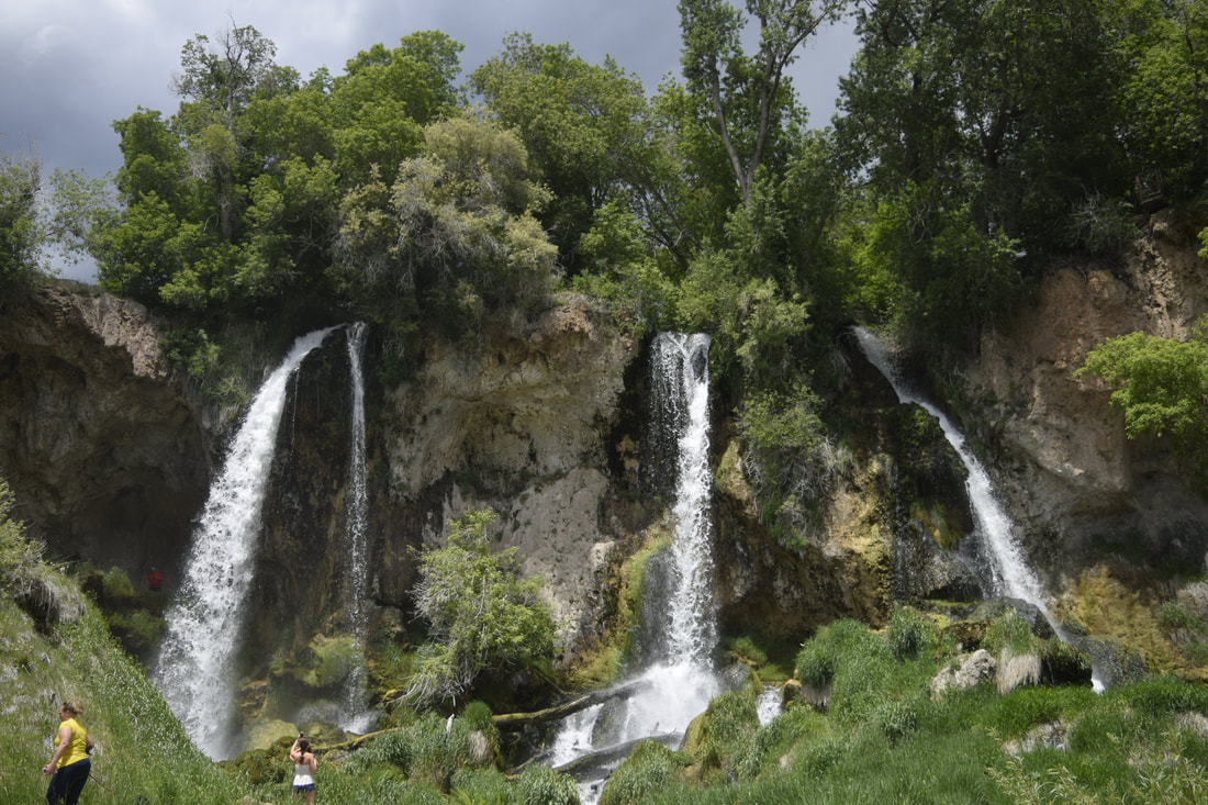
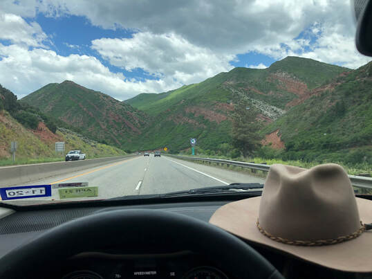
 Although I am relatively new to camping and backpacking, having only taken my first-multi night trip last summer, going on my first solo backpacking trip seemed like a right of passage I was ready to take. When plans fell through with a group of friends, and my time off from work was approved, I felt it was the perfect time to see of what I was capable. I am a strong believer that everything happens for a reason, and my trip with friends falling apart was the first of many things that reaffirmed my belief this weekend. Everything didn’t go as I planned, and it was a serious roller coaster of ups and downs, but the highlights overshadowed every rough patch along the way. Before I left Denver, I made plans to head west toward Grand Junction, Colorado, to backpack through Rattlesnake Canyon. I planned to camp at nearby Colorado National Monument before hiking out to and sleeping under the arches of Rattlesnake Canyon. On the way to Rattlesnake Canyon, I planned to stop at Rifle Falls State Park. After exploring Rattlesnake Canyon, I was going to stop and hike Dominguez Canyon on Sunday for a relaxing swim before my drive home. Rifle Falls State Park: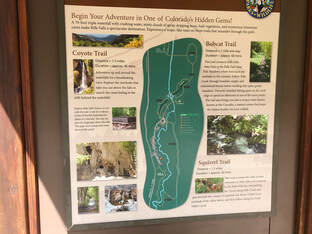 A map of the trails in Rifle Falls State Park. A map of the trails in Rifle Falls State Park. Everything went off without a hitch the first day, and I left Denver around 8 a.m. to head to Rifle Falls State Park. After a few stops and breakfast in Glenwood Springs, I arrived at the park around 11 a.m. It is a very small park, and it was packed this Thursday morning with campers and other visitors. You can read more about my afternoon in Rifle Falls in this separate blog post HERE! 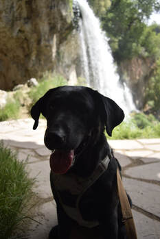 Maria behind the waterfalls. Maria behind the waterfalls. I have to admit, I wasn’t completely alone on this road trip, because my pup, Maria, joined to keep me company. We quickly hopped out of the car and could already hear the waterfalls flowing! We were both excited to see what was up ahead. Maria led me up a path that took us behind the waterfalls before we ever saw them all from the front. It is a very short walk from the parking lot to the falls, so it wan't take long before we were standing in the glory of these magnificent, lush waterfalls. We started exploring behind the rushing waters discovering there are also caves all along the rock formations! We explored every nook and cranny we could find and fit into. It was so much fun exploring around these dark, mysterious, and natural creations. 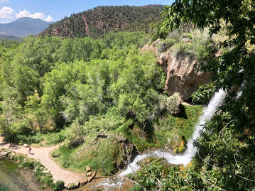 One of the viewpoints from above the falls. One of the viewpoints from above the falls. After the caves, we took the staircase to the top of the falls. We followed the trail along the edge of the cliff looking over the extremely dense vegetation below. Bushy trees lined the edges of the small crystal-clear river that fed from the falls. The entire scene was magnificent, and we stopped at every ledge to get a new view. 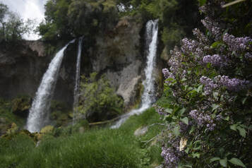 Blooming flowers watered by the falls' mist. Blooming flowers watered by the falls' mist. We finally came back down to see the falls head-on, and they were even more spectacular from this view than they had been from behind or above - which I didn’t even think was possible. Flowers were blooming in the bushes all around, and fish were swimming right up to the mouth of where the three falls’ waters combine. It felt for a moment like I could have been standing in the closest thing to The Garden of Eden I might ever witness.
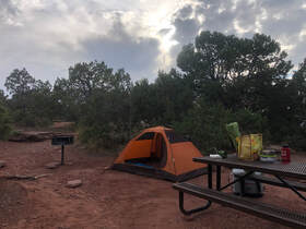
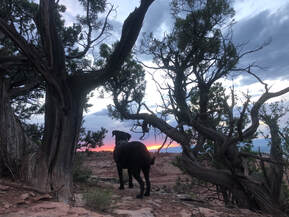
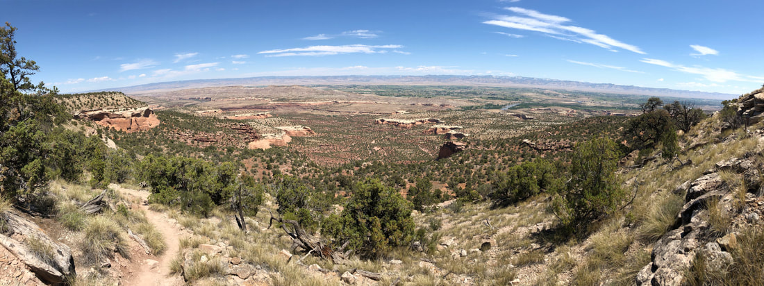
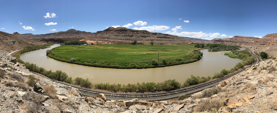
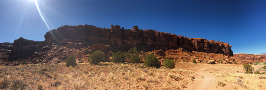
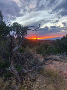
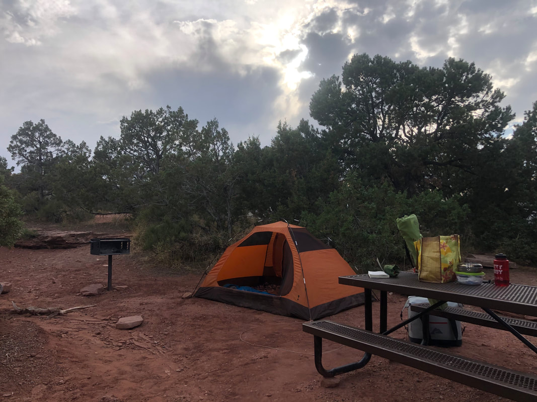
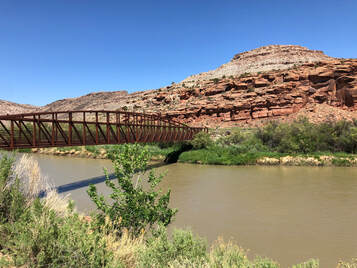
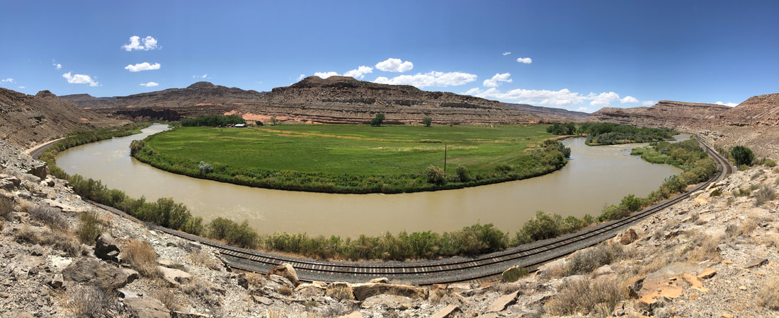
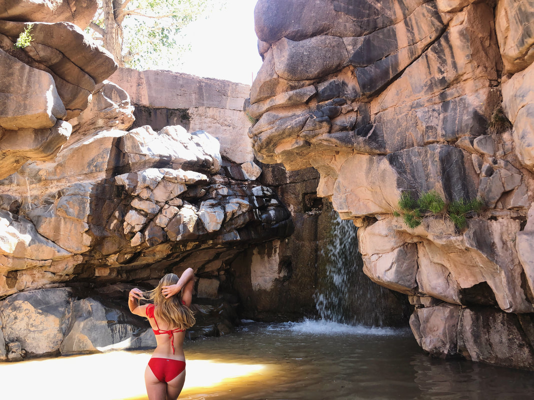
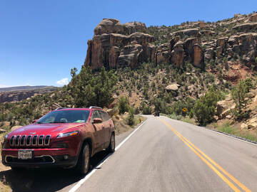
Colorado National Monument:I had reserved a campsite inside The Colorado National Monument at the Saddlehorn Campground through the recreation.gov website. It was about 2 hours from where I was, so I hit the road and arrived around 6 p.m. I set up my tent and organized my items before I pulled my chair out and set it up to watch the sunset. That night, I realized I had forgotten to pack the propane tanks for my JetBoil trail stove, so I went back into town to get one the next morning. This put me far behind schedule. My 6 a.m. start time was intended to get me on the trail before the day’s heat, but after the extra stop and a few wrong turns, I didn’t get to the trail head until almost 2 p.m. When I finally arrived, I ran into another set of issues. McInnis Canyon/Rattlesnake Arches: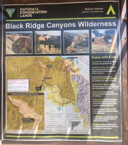 The map of the McInnis Canyon area. The map of the McInnis Canyon area. First, I discovered that Rattlesnake Canyon is actually day-use only. I am not sure if this was a recent change or if the posts I had seen of campers were just rule breakers, but I decided to change my plan. Instead of spending two or three days in the arches, I was now limited to just a few hours. I switched my gear from my large overnight pack to my smaller day pack, and tried to get on with hiking. 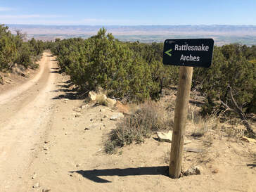 Driving up to Rattlesnake Arches. Driving up to Rattlesnake Arches. My next issue was the time of day and heat. I was hitting a desert trail at the absolute hottest part of the day with a big, black dog. The Rattlesnake Canyon upper arches trail is an 11-miles out and back. We made it to the bottom of the canyon and reached a sign that read 2.2 miles one-way to the next destination. Maria was sitting under a tree panting, and I had already given her a few bowls of water. I knew the heat was getting to her, and I made the safe choice to head back up the canyon after only making it one and a half miles. I made the right decision and got Maria back into cooler conditions just in the nick of time. I cooled down the car for her, and we drove out of the canyon. Since Rattlesnake Canyon hadn’t worked out, I had an alternative plan to hike the nearby Mee Canyon which allowed backpacking and camping. You can read in more extent about the tail and the conditions that caused us to turn around in a more extended, detailed blog post HERE! 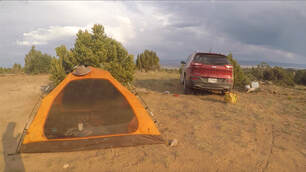 My campsite near the Mee Canyon trailhead. My campsite near the Mee Canyon trailhead. We drove all the way back down the same rough dirt roads I had driven down a few hours ago, and turned toward Mee Canyon halfway out of the McInnis Canyon area. Just past the trail head was an empty site with an established fire pit. I decided it was the perfect place to set up camp to get an early start in the morning. I set up my tent and got some dinner cooking. As soon as I finished my meal, the weather flipped and went from hot and sunny to cloudy, windy, and chilly. I could tell a storm was rolling in. 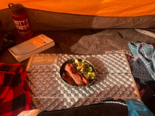 Eating dinner in my tent to protect from the wind. Eating dinner in my tent to protect from the wind. I put on the rain cover for the tent and got Maria inside. It didn’t seem like the storm was too bad at first. Within a 30-minute window, though, the winds picked up to what I later read was over 60 miles per hour and nearly ripped my tent apart. Even with me and Maria inside the tent was lifting up around us, and the stakes in the ground were barely holding us down. I made the split second decision to pack up and get in the car. 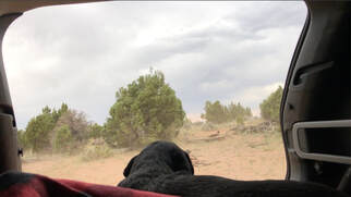 The view from the back of my car after I packed up our camp. The view from the back of my car after I packed up our camp. I quickly unsnapped the rain cover, pulled out the poles, and pulled up the stakes. I threw the entire tent and all of its contents inside my car. I collapsed the poles and got them inside before having to carry Maria to the car. I managed to get everything safely put away just seconds before the downpour started. It rained all through night, well into the morning, until almost noon. When it finally broke, I rearranged the car so that it was drivable and took off as soon as I could in fears the rain would start again at any minute. All of these issues that had kept me from camping in Rattlesnake Canyon may have saved my life. Any sort of flash flood, lighting strike, or wet / cold conditions could have been devastating more than 5 miles away from shelter. It was crazy to think about as I was white-knuckle driving out of the steep, muddy canyon. Dominguez-Escalante National Conservation Area: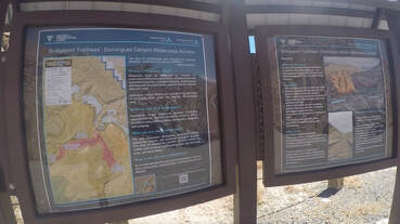 Dominguez Canyon trailhead. Dominguez Canyon trailhead. By the time I got back onto pavement, the storm had completely passed and the sun and heat had both returned. I set my directions toward Dominguez Canyon and drove an hour south to embark on a trail recommended to me by some friends. Little did I know how great their recommendations were. 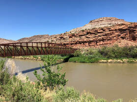 Crossing the Gunnison River. Crossing the Gunnison River. Dominguez Canyon is one of the most incredible places I have been in Colorado, and I have only explored about a quarter of one of its trails, and I was blown away. I liked it because it was a very easy and accessible hike with incredibly rewarding views and surprises inside, all within just six-miles of red rocks. You can see more from this spectacular place in another blog post - which you can find HERE! Maria arrived in the late afternoon, but this time, heat wasn’t a concern. The trail followed right along the Gunnison River, so Maria had ample opportunities to cool down. Plus, the rain had brought the temperature down and carried in a massive breeze. It made the hike that much more enjoyable. 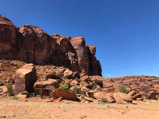 An old time horse corral. An old time horse corral. After getting to the bottom of the small hill I had parked on about a mile down the trail, we crossed over the Gunnison River and took a left to the Big Dominguez Canyon (as opposed to the Small Dominguez Canyon). Now, we were up close and personal with the bright, red rocks towering in front of us. We walked along the trail for about another mile until we reached the mouth of the Big Canyon. It was here where another incredible thing that most definitely would not have happened if I was still in Rattlesnake Canyon. Maria attracted another dog from one of the nearby camps, and when the owners and I retrieved our pets, one of them recognized Maria and instantly asked if he had met me before. It turns out that we had met just a few weeks ago while I was camping at Radium Hot Spring! It was a wild, one-in-a-million type encounter. We both couldn’t believe it, and I told them I would stop back by to hang out after I did a little more exploring. 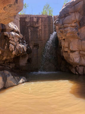 A waterfall and swimming hole in the Big Canyon. A waterfall and swimming hole in the Big Canyon. I walked past their camp just another half mile to find a swimming hole perfect for cooling off and relaxing, and I had it all to myself! I swam and enjoyed the incredibly serene spot until another group showed up. The group told me about another swimming hole up the river and about some ancient petroglyphs in the rocks. They said they were about a mile and half up the creek, and I decided that was a bit too far for this trip, so Maria and I dried off on the nearby rocks before stopping back by to see our friends. 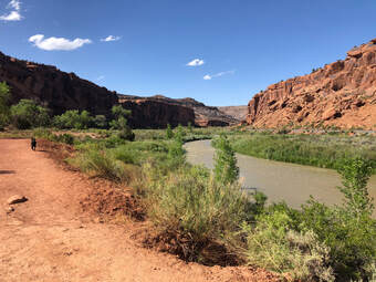 Following the trail back up to the car. Following the trail back up to the car. We hung out till the sun started to go behind the canyon walls. We all exchanged contact info and were still talking about how mind blown we were that we had all come together in this incredible place. I said my goodbyes and told them that I would see them soon! The hike back out seemed even easier than the hike in, and we were back in the car in absolutely no time. We drove out of the trail head road, turned down a different one in the same Dominguez-Escalenate Public Lands area, and drove to a campsite I had been recommended. 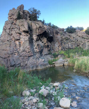 The creek below the campsite I set up at in the Dominguez-Escalante Public Lands. The creek below the campsite I set up at in the Dominguez-Escalante Public Lands. It was about 15 miles down the road and perfectly secluded inside of this picturesque canyon. It was somehow desert-like yet featured trees and a river. It was almost magical. I walked down to the river and rinsed off my body and all of my cooking supplies before setting up camp. The spot had a designated fire pit, and I started one to cook some sausage over the open flames. After dinner, I stayed up until the stars came out to see the constellations over the tall, orange walls. When it got late, I crawled into bed and slept throughout the night peacefully and undisturbed. You can see more from this spectacular place in another blog post HERE! Glenwood Springs: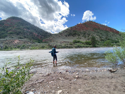 The next morning, I reached out to the friend whom I had met at Rifle Falls State Park earlier in my trip. We decided to get together to do a little fly fishing. Again, if my plans not been changed, this opportunity would have never presented itself! We met just outside of Grand Junction and threw our lines on the Colorado River. We saw dozens of fish over the course of the day. Some were just feet away from us, yet neither of us were able to catch a thing. It was frustrating, but the company was so enjoyable and the views were so great that we didn’t let it get us down. We eventually packed up and agreed we would have to try this spot again another day. Even though we didn’t catch anything, it was a perfect way to end my trip. Trying a fishing spot with a new friend was exactly what I needed to cap my first ever solo road trip. When I made it back to Denver, I couldn’t believe what all I had been able to see and accomplish in those few short days. I was extremely proud of myself for sticking to my guns and doing what I wanted to do, because it led me on the most incredible journey and introduced me to places and people I know I will be seeing again soon! 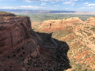 The western slope of Colorado is truly unlike the rest of the state. Once you cross over the Rocky Mountains, you enter the desert, and the desert holds different, secret places to explore. I took my first trip out to this area during my June 2020 solo road trip (which you can read all about HERE!) with the main goal being to spend two nights backpacking in McInnis Canyon and camping under the Rattlesnake Arches. Behind Arches National Park in Moab, Utah, McInnis Canyon holds the second highest concentration of natural arch formations on Earth! Somehow, I didn’t find this out until I had been living in Colorado for two years. This area seems to be overlooked by travelers in general. To me, this meant solitude which means perfection.
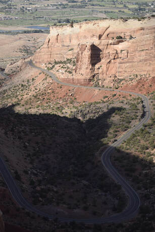
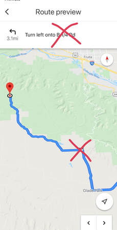
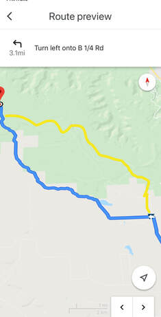
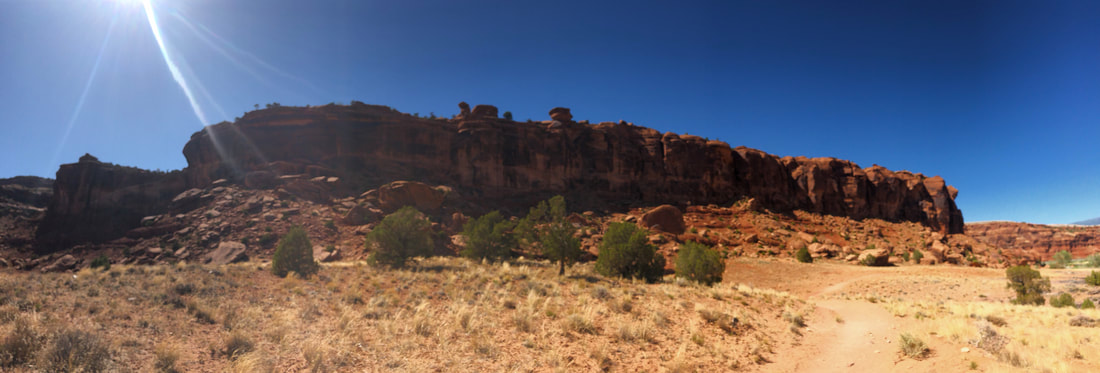
When I finally got back on the road to Rattlesnake Arches, it was much later than I had intended. I had read on AllTrails not to follow the site's directions to the trail, but I had forgotten in the moment and ended up at the wrong location. I was miles from where I needed to be but in the right area. Instead of following Google Maps, I located the trailhead on the map and roughly followed the roads that seemed to lead there. I was essentially using it as a traditional map. Several times, I thought I was lost, because the road into McInnis Canyon is very long and quite scary at some points.  Driving to Rattlesnake Arches. Driving to Rattlesnake Arches. The pavement ended, and the trail alternated from dirt and mud, to gravel, to large rocks. Not only was my 4WD necessary, but my high clearance was too. I actually didn’t make it all the way to the Rattlesnake Arches Trailhead. I stopped just about a quarter mile shy of it thanks to an extremely rocky slope that would’ve been hard to climb back up. 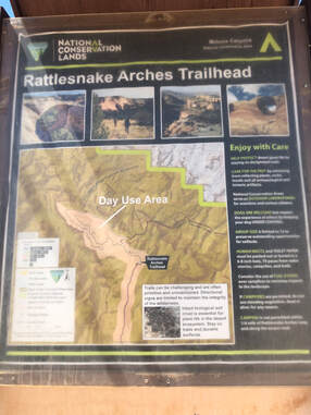 When I finally got to where I was supposed to be, I was ecstatic. I was the only one in the parking lot, and I would have the arches all to myself for the hike and the night. All that excitement faded quickly when I discovered that the arches are a day-use area only. I had no idea what I was going to do for the next few days, since my plans had been derailed. It was getting late in the afternoon, so I didn’t have much time to think about what I should do. I quickly switched my most important gear to a smaller daypack and set off on the trail. 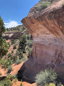 Walking down into the canyon. Walking down into the canyon. It was 2 o’clock in the afternoon and the sun was absolutely beating down. I was highly aware that there is no water on this trail, and I made sure to pack plenty for both me and my dog, Maria. It was easily over 100 degrees when we started. The entire trail is 11 miles long round trip. It takes 4-5 miles to complete the lower trail and another 3 to do the upper. Either of these routes can be chosen after you walk a mile and half into the trail. Maria and I only made it about a mile past the trail's split into upper and lower and found ourselves at the bottom of the lower canyon - panting and hot.
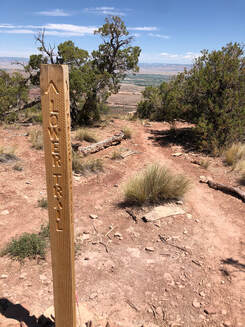
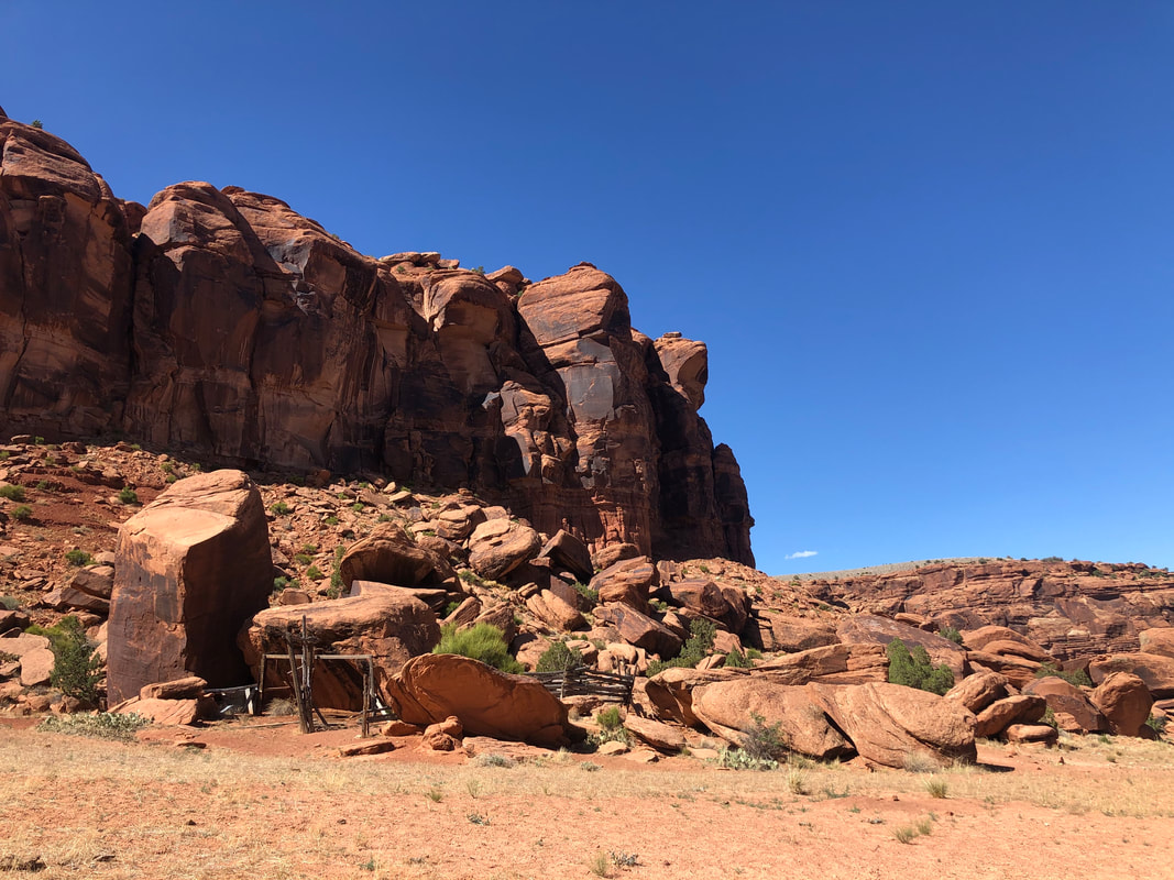
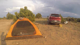 My nearby campsite for a second attempt. My nearby campsite for a second attempt. It was the toughest decision I had to make all weekend, but our safety absolutely overrules the desire to see some cool formations. Things got a little hairy, but we survived and were fine once the A/C started blowing into in the car. At this point, I hoped that we could try again the next day or try the nearby Mee Canyon trail which is significantly shorter. I drove out to the edge of the day-use area Rattlesnake Canyon and set up camp for the night. The decision to leave the trail when I did, set up camp and subsequently also take it down, when I did, might have all saved my life. A major stormed rolled in over night and if I had been camping I might not have made it. I write all about this entire, wild experience in my extended Solo Western Colorado Road Trip blog post, which you can read all about HERE. My trip might not have been perfect, but it was an adventure, and it definitely gave me new stories to tell. I’ll always be thankful for this solo experience, and I will definitely be back to explore Rattlesnake Arches on a much safer trip. 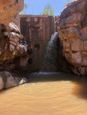 Colorado never ceases to amaze me. Every time I go somewhere new, I am blown away and I swear that it is my new favorite spot. Dominguez Canyon is another Colorado landmark that left me absolutely dumbfounded and is undoubtedly one of the greatest places in Colorado. I only explored a tiny fraction of the canyon, and I am convinced that this will always be one of my favorite places in Colorado. If you want to see the entire road trip I visited this canyon as a part of, please check out my Western Colorado Road Trip blog post HERE! 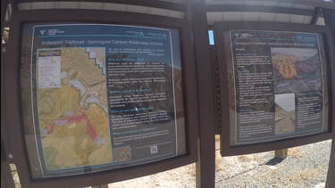 The map at the Dominguez Canyon trailhead. The map at the Dominguez Canyon trailhead. My dog, Maria, and I hit the trail in the late afternoon on a Saturday in June. Even though it was late in the day, there was only one other couple at the trailhead and fortunately, a storm had rolled through the day before, so the ground was nice and cool and a massive wind was whipping through the canyon. You can see more from my entire afternoon in the canyon on my YouTube channel HERE! The canyon is pretty large and has several different trails. I set out with intentions of getting as far as I could and hopefully finding one of the swimming holes I had seen online located inside of The Big Canyon.
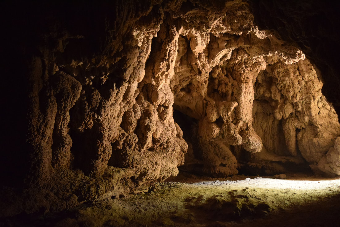
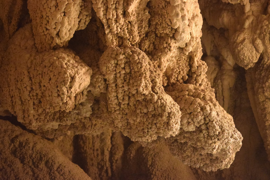
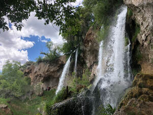
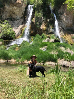
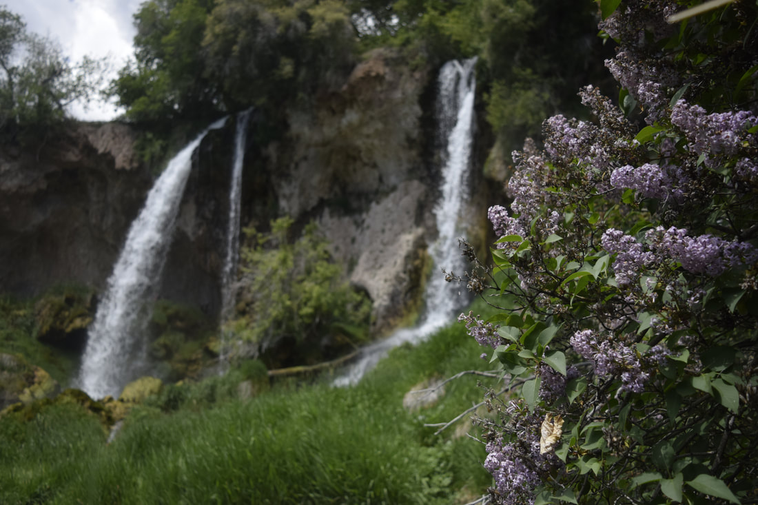
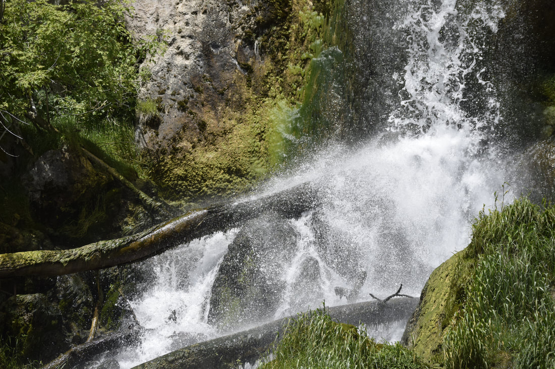
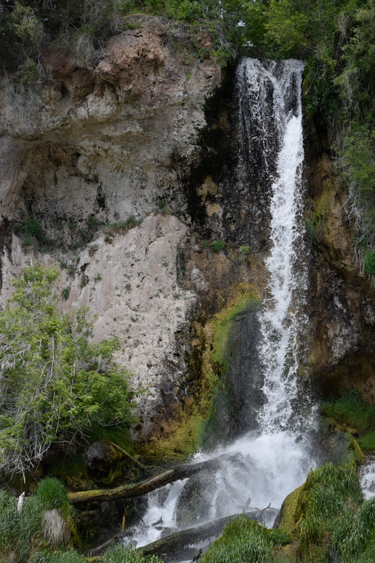
When another group showed up, we decided to pack up. The other visitors said that there were more swimming holes further into the canyon, and that there are petroglyphs carved into the rocks along the trail. I noticed how low the sun was getting and made the choice to save all of those incredible-sounding things for another trip. On the hike out, I saw lots of rafters setting up camp, so I decided that my next trip to the canyon needed to be an overnight backpacking trip! I left this canyon happier than I could have ever imagined. I felt like I had found a secret gem that very few other people had seen. I am sure this wasn’t true, but I don’t know anyone who’s been. Now, I can’t wait to share the magnificence of this place with John and my other friends! You can watch even more from Dominguez Canyon on my Youtube channel here! 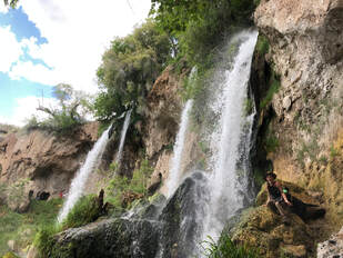 Rifle Falls State Park was the first stop I made along my western Colorado road trip from Denver to Grand Junction. This park had been high on my list for a very long time, and I was so excited to finally be heading to these beautiful waterfalls. If you want to read about my entire Western Colorado road trip check out my blog post HERE! I left Denver on a Thursday morning and arrived soon after at the park’s ranger pay station. I have an annual state parks pass sticker on my front windshield, so I passed through without stopping. 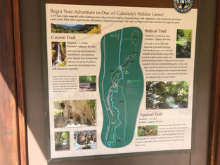 There are 3 different trails in Rifle Falls State Park. There are 3 different trails in Rifle Falls State Park. The park is very small and so is its parking lot. I pulled into the last open space around 11 a.m. I leashed up my dog, Maria, and we set out on the trail into dense forest. It is a very short walk from the parking lot to the bottom of the falls, and we could hear the water rushing the entire time. If you would like to watch more from my visit to Rifle Falls State Park please head over to my YouTube channel HERE! 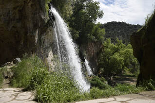 The first view we saw of the waterfalls. The first view we saw of the waterfalls. We walked through the trees up to a platform where we finally lay our eyes on the falls for the first time. I was blown away. Everything around the water was incredibly lush and green. It seemed like we were exploring a tropical oasis instead of the Colorado mountains, and I couldn’t wait to see more. 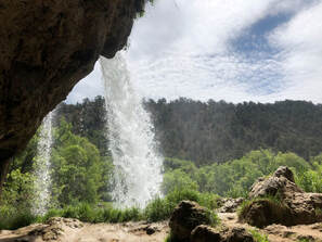 The view from behind the waterfall. The view from behind the waterfall. The sounds, sights, and smells excited Maria, and she led me up a path that took us behind the falls. We could feel the mist blowing off the falls as we explored behind the falls. Maria and I stayed on the trail and discovered a cave! The falls cut through limestone rock and hollows out and erodes the rock shaping it into caves. Maria sniffed out the cool air blowing through the rocks, and we squeezed our way in! The walls of rock opened up to a dome of natural formations poking out from floor to ceiling. We walked and crawled around as much as we could before Maria led me back into the sunlight. This was just the first cave of many we would find and explore at Rifle Falls State Park 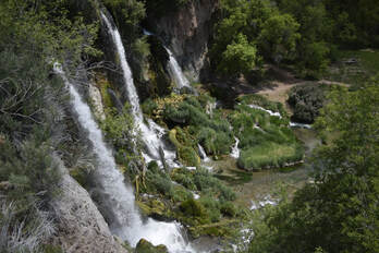 The view from one of the stop offs on the upper trail. The view from one of the stop offs on the upper trail. Next, we took a staircase and followed a path along the cliffside and eventually to the top of the falls! Along the way, sturdy platforms developed by the Colorado Parks and Wildlife Department allowed us to look down into the magnificent area. 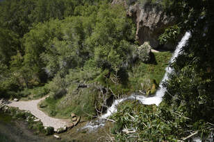 The trail then led us above and over the falls. Maria hopped in the water as quickly as she could, but I pulled her out, so we could take the bridge to the other side of the water. The views from above were spectacular even when I discovered that one of the falls isn’t natural. 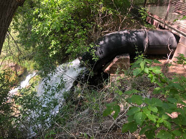 An old pipe funnels the water for one fo the waterfalls through it. An old pipe funnels the water for one fo the waterfalls through it. The water’s power was once harnessed to power the nearby town of Rifle’s mining operations, and one of the falls still flows through an old pipe. One of the walkways has a sign that explains the piping system and gives a good view of it. I was disappointed by this unnatural feature and ready to keep walking. Maria and I followed the Coyote Trail to the fish hatchery area. We didn't realize the trail would lead us away from the falls, but it was a nice change of scenery. We saw people fishing and explored more into the park’s canyon area. We saw birds and butterflies flying around the sanctuary area before we finally descended and approached the waterfalls head-on. I didn’t believe that the falls could look any more beautiful than they had from the other viewpoints, but I was absolutely blown away as we stood at their base. 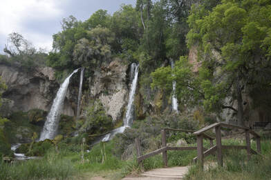 The view coming over from the fish hatchery side of the park. The view coming over from the fish hatchery side of the park. The water that flowed from them was crystal clear, and dozens of fish could be seen swimming in it. Flowers were blooming on all of the bushes surrounding the falls; all being fed by the light mist blowing around and creating rainbows in the sky. I felt as if I were walking in the Garden of Eden.
You can watch more from my afternoon in Rifle Falls State Park on my YouTube channel HERE! |
Talkin' 'bout Tacos:
I'm Taylor, aka Tacos! I am sharing my journeys and experiences from across the world hoping to inspire travel and adventure in all who read. Archives
June 2024
|
