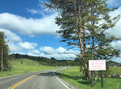
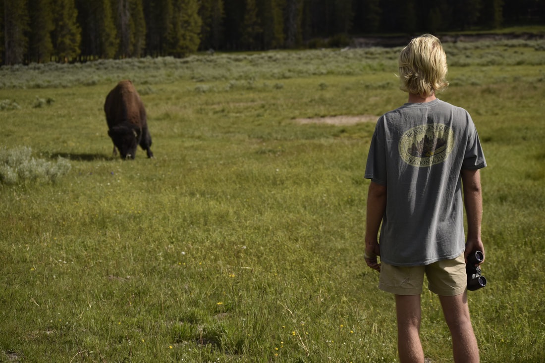
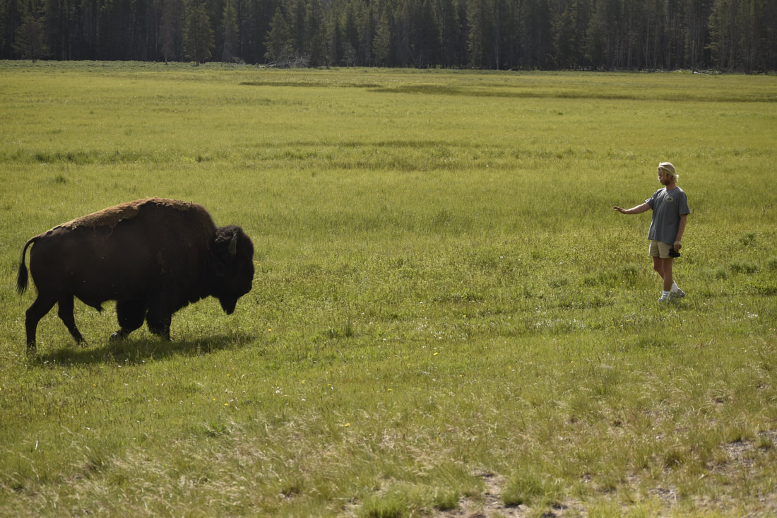
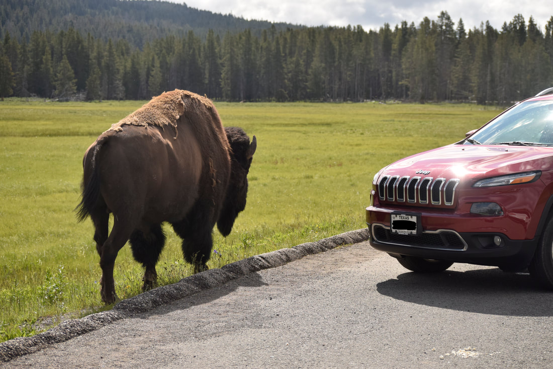
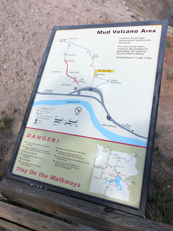
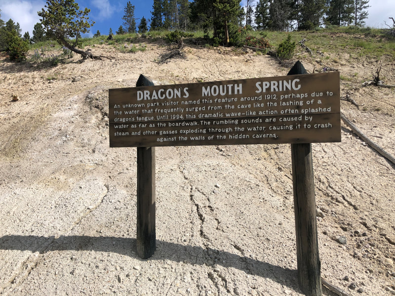
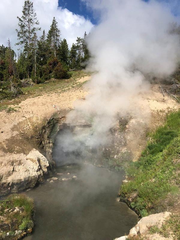
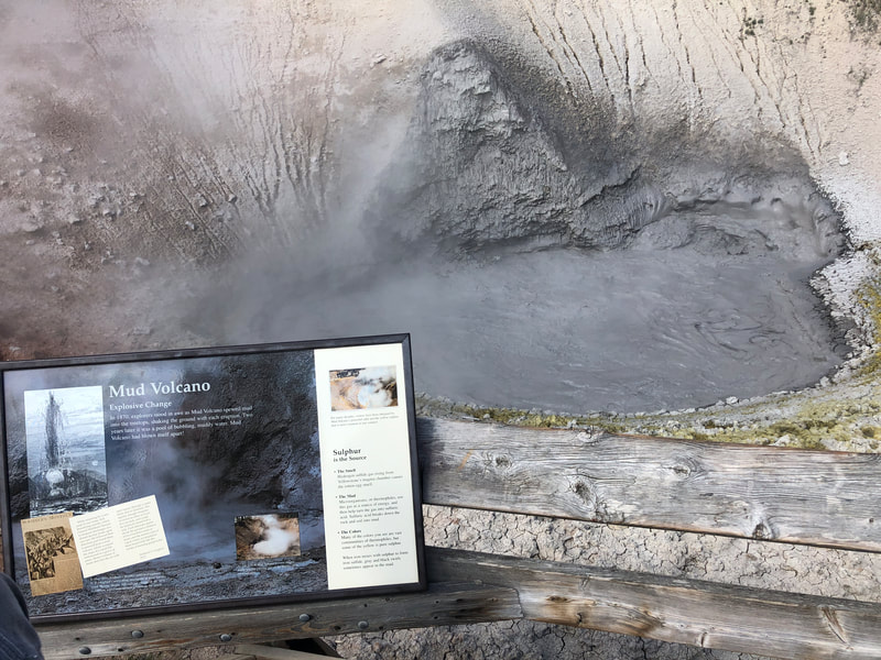
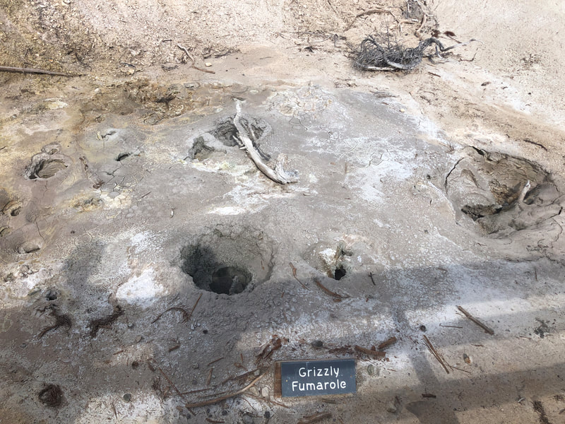
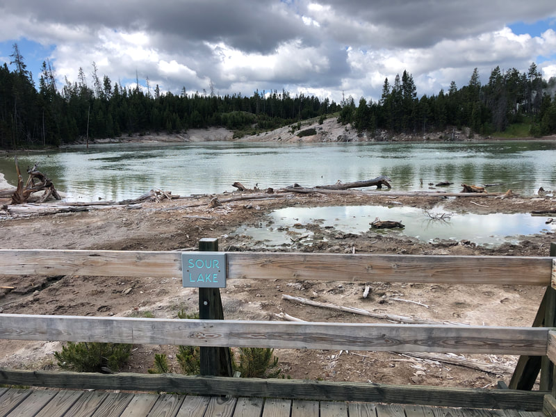
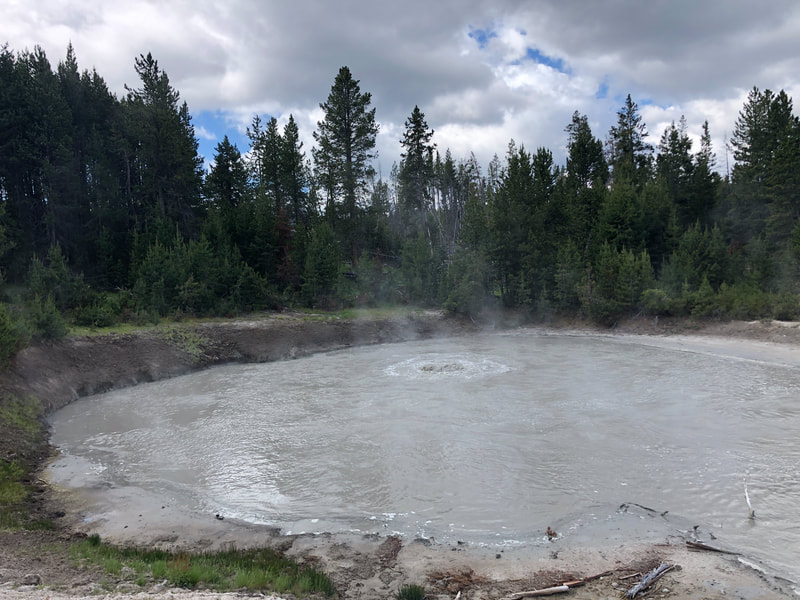
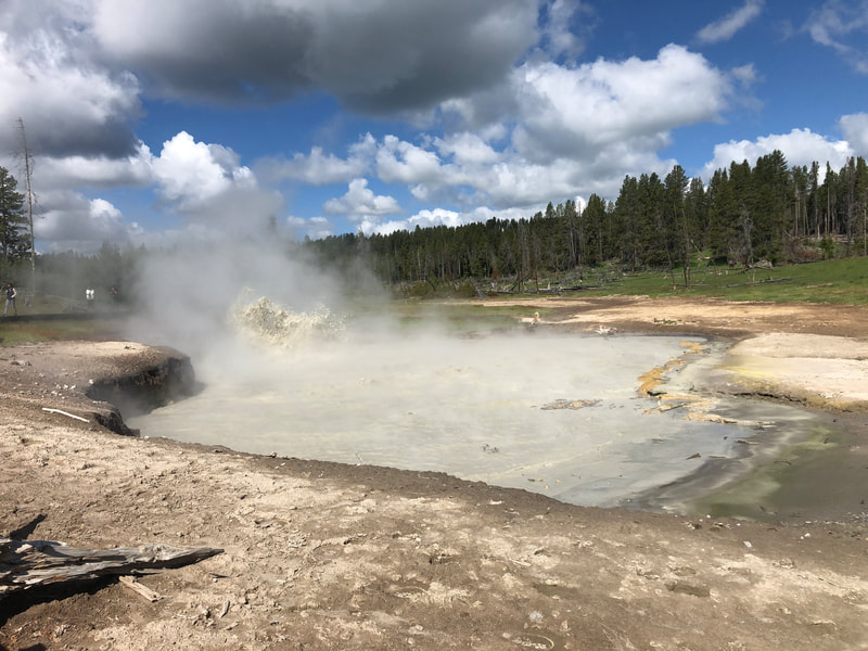
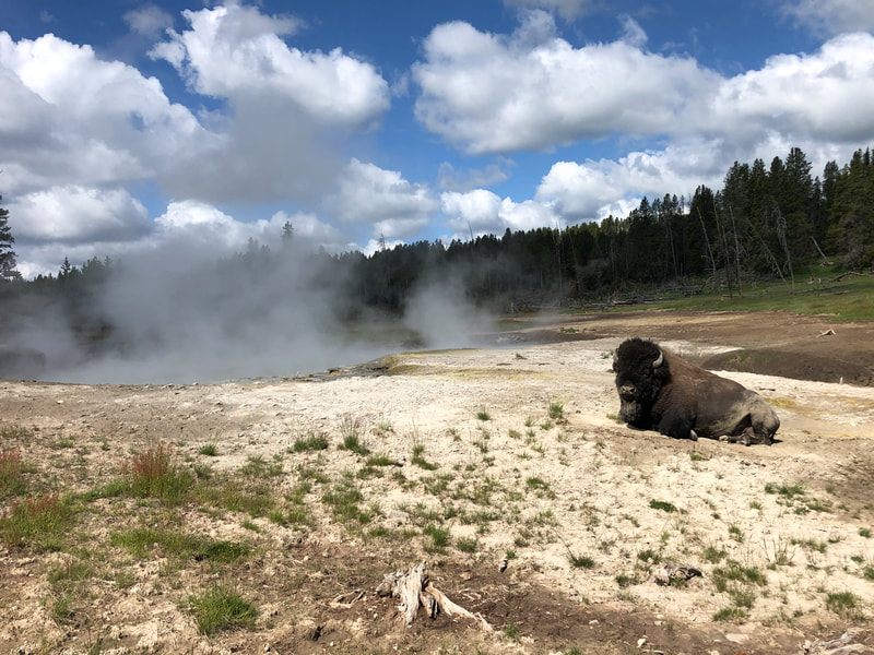
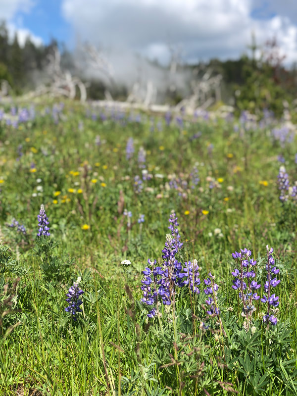
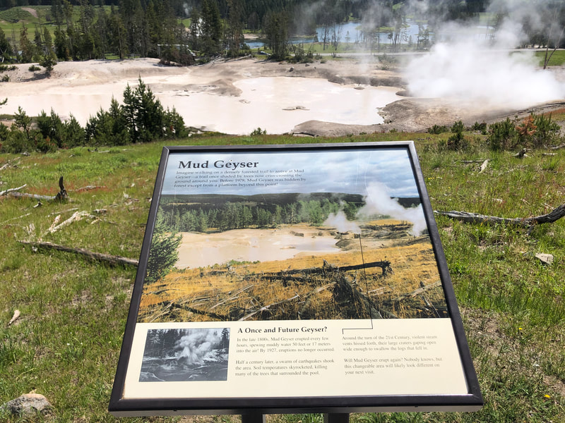
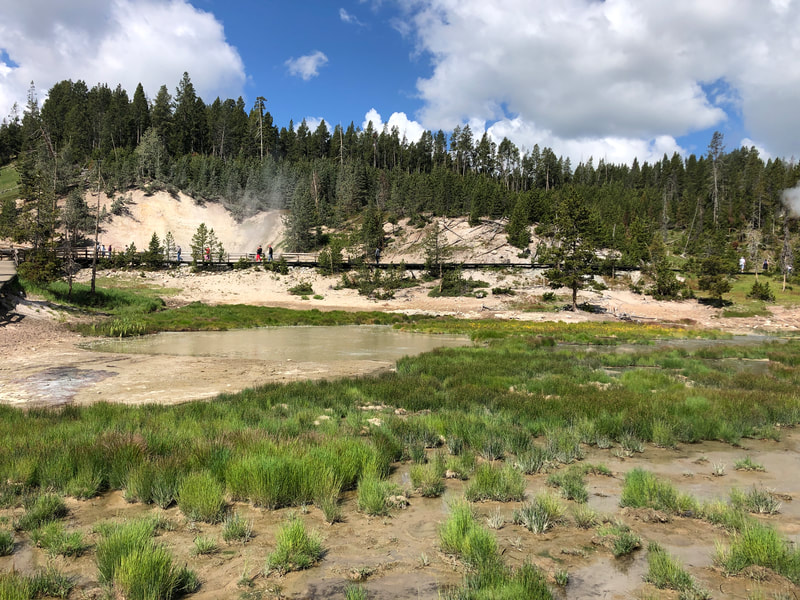
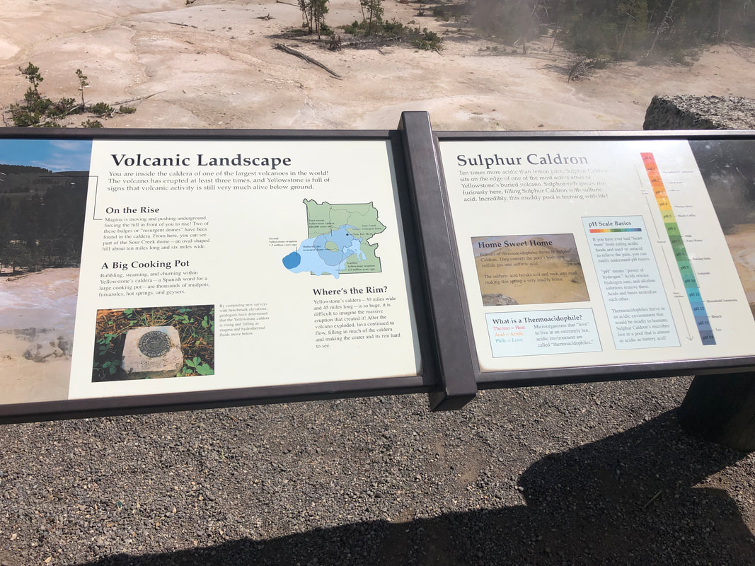
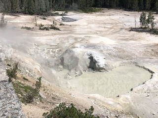
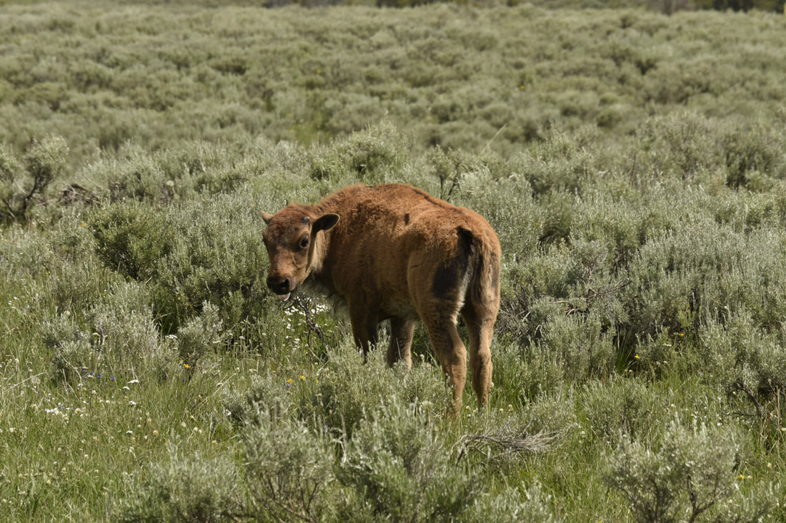
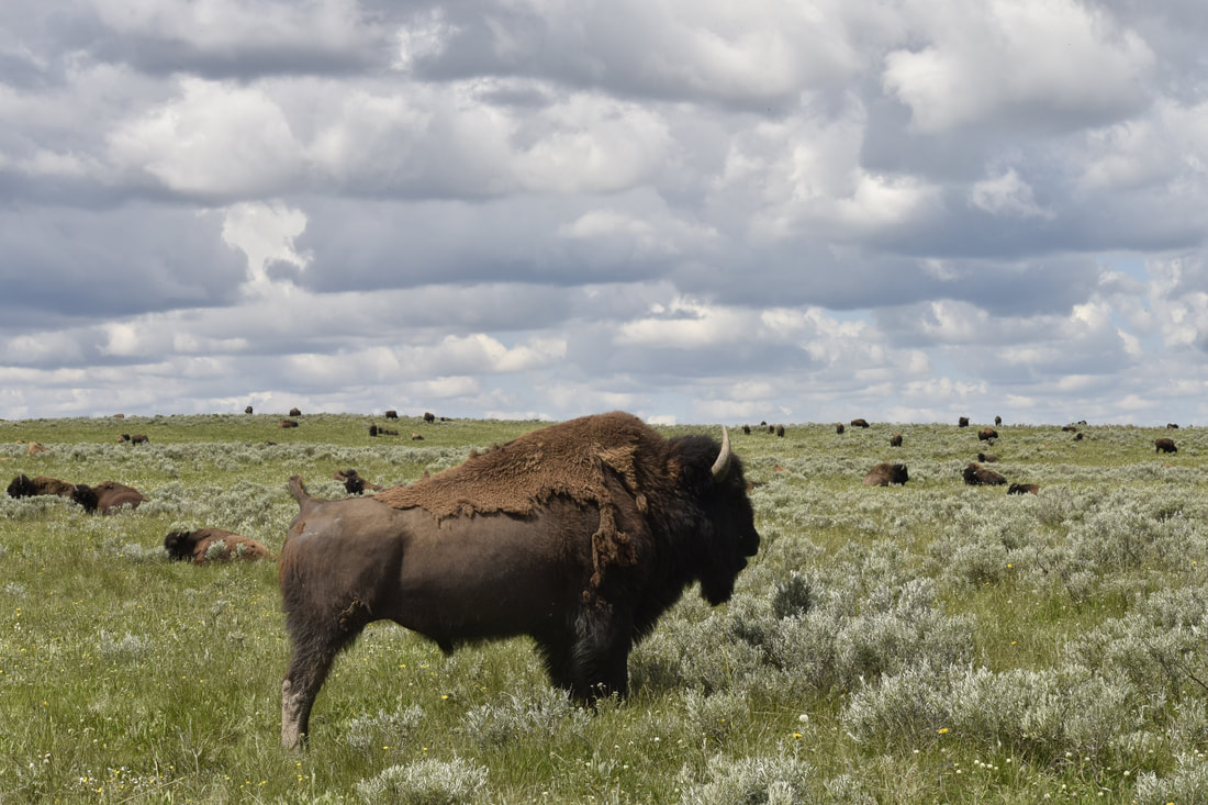
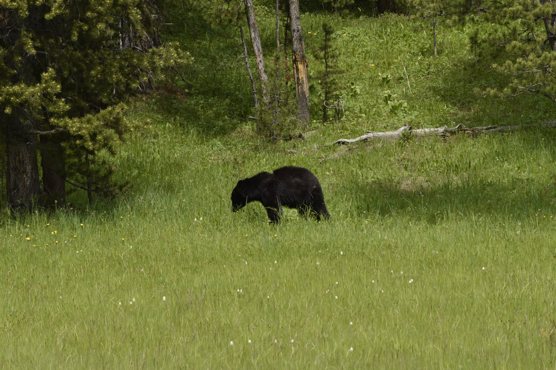
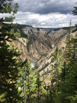
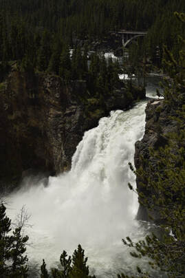
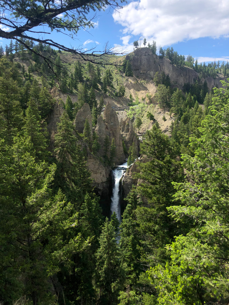
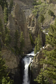
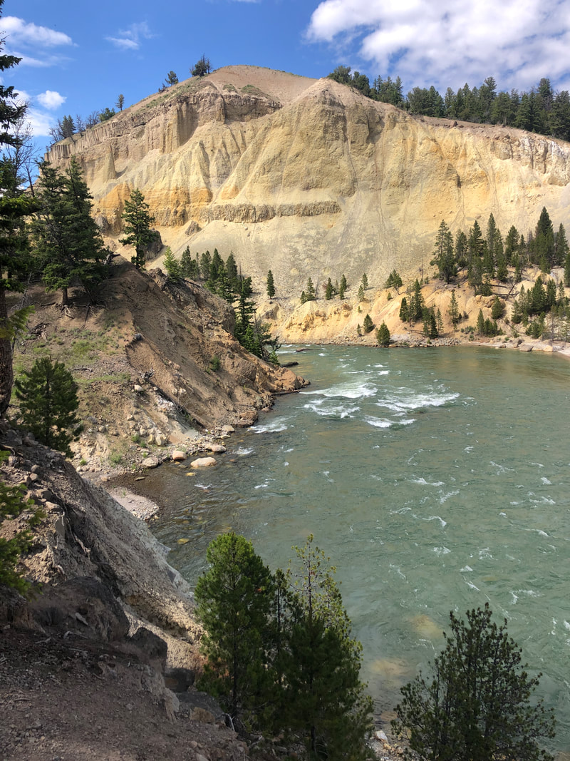
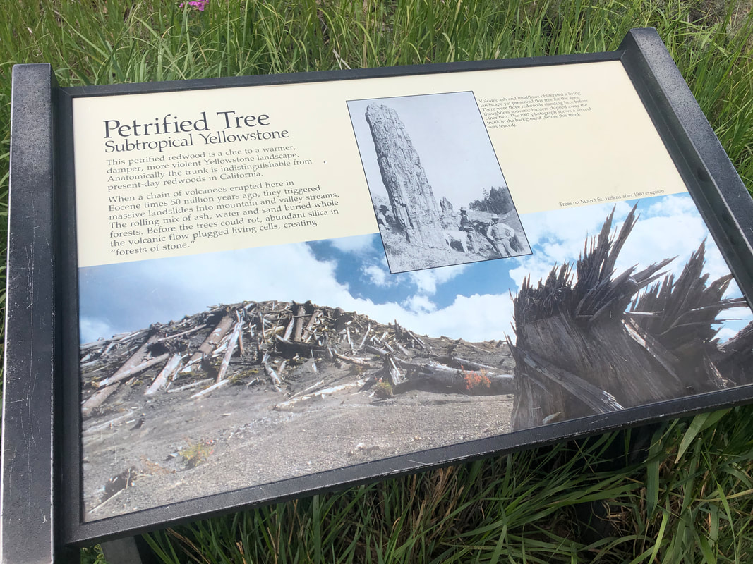
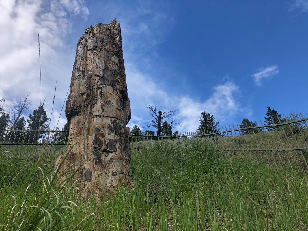
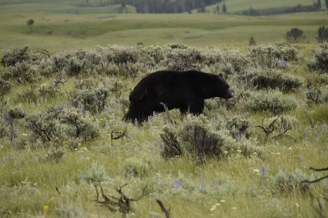
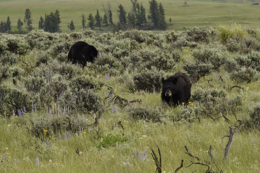
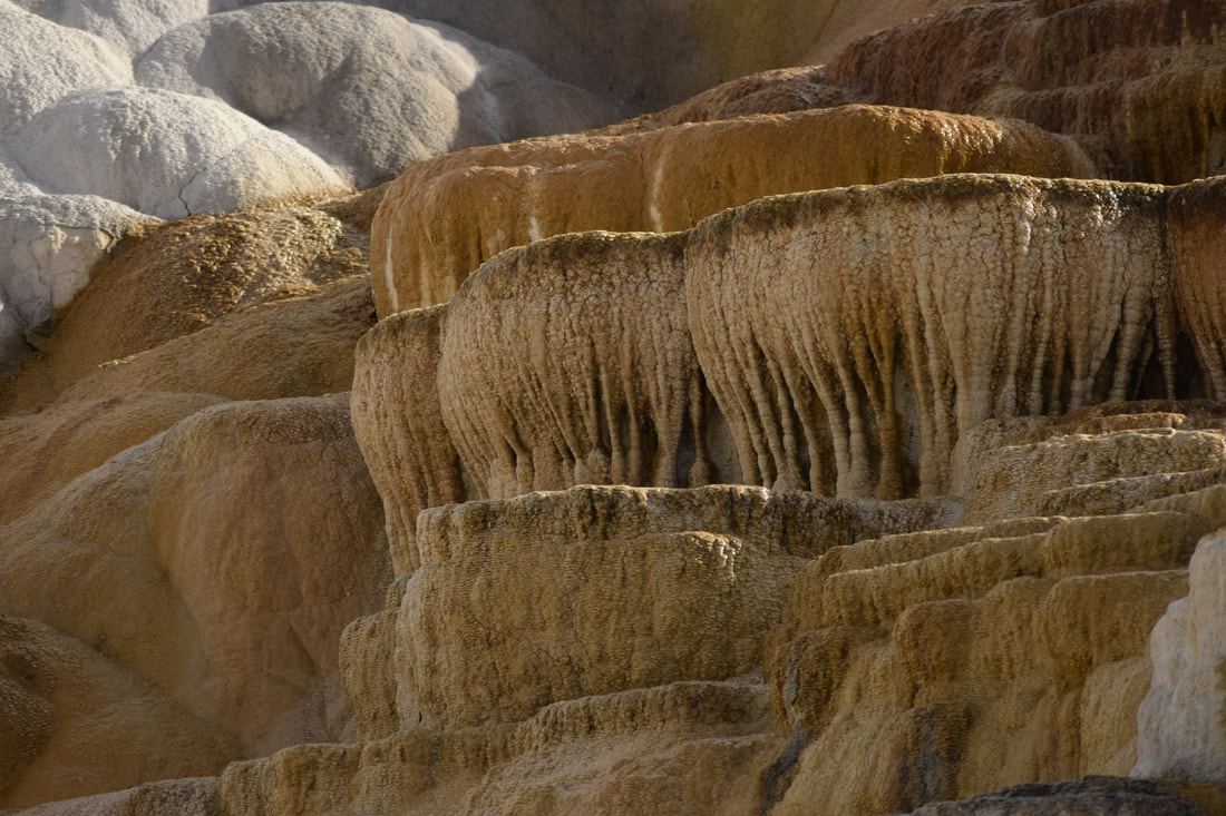
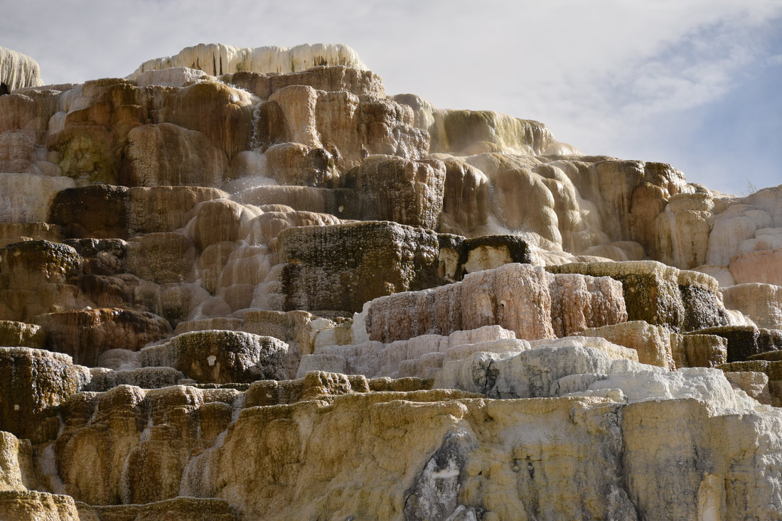
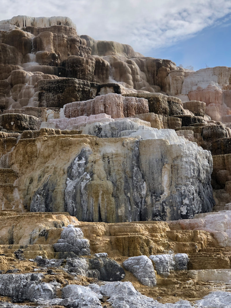
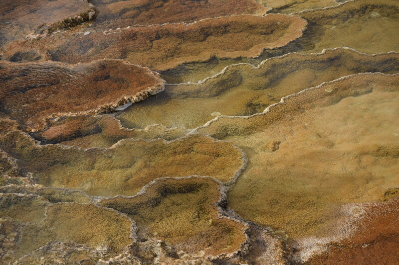
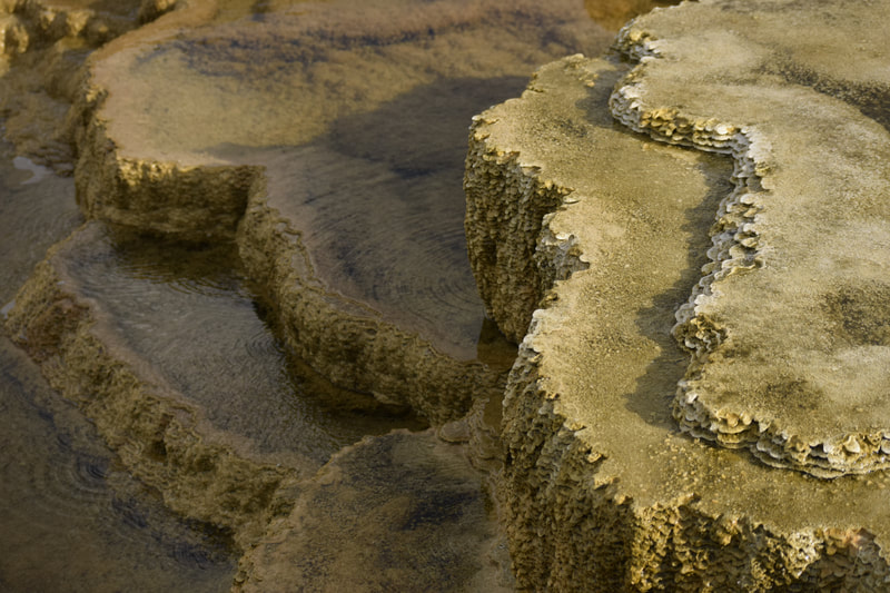
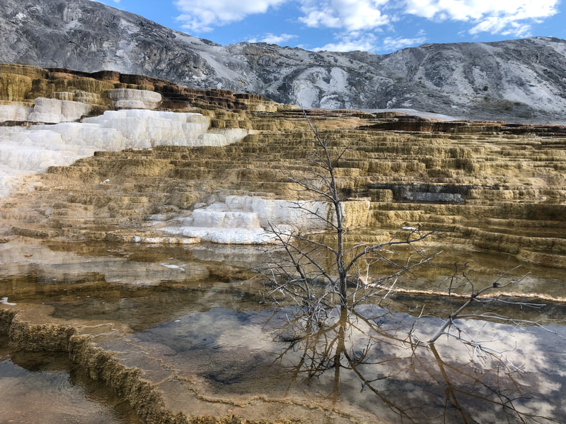
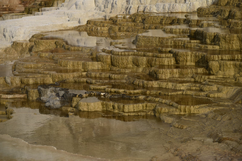
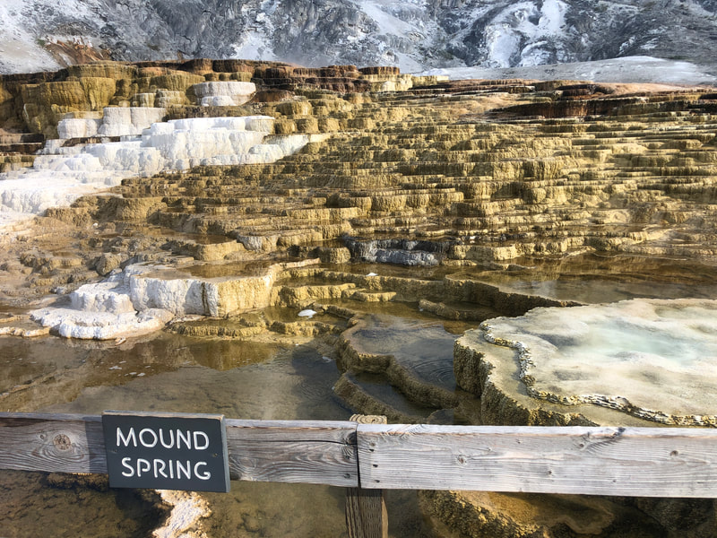
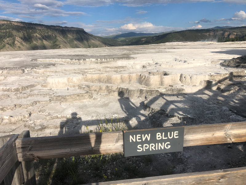
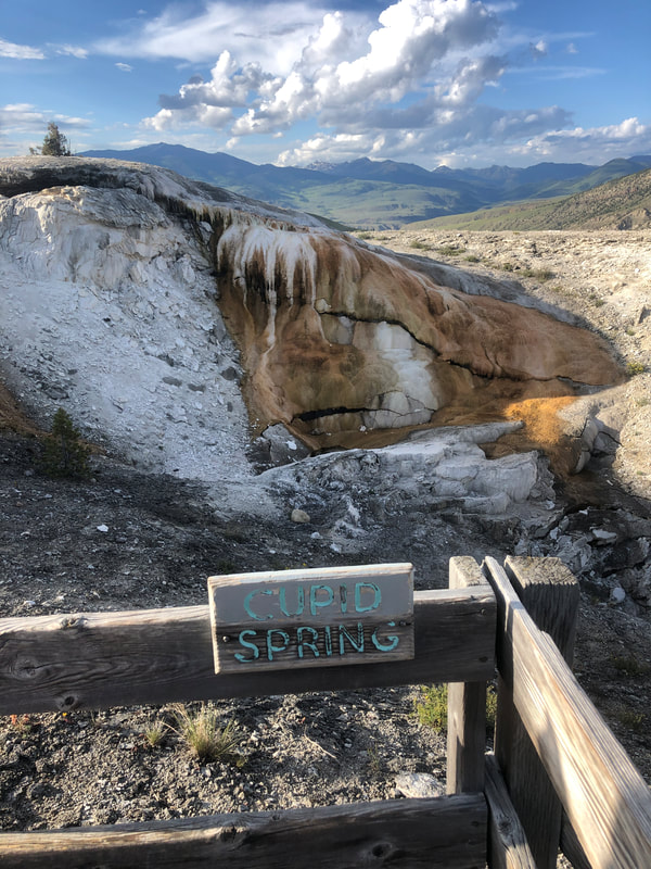
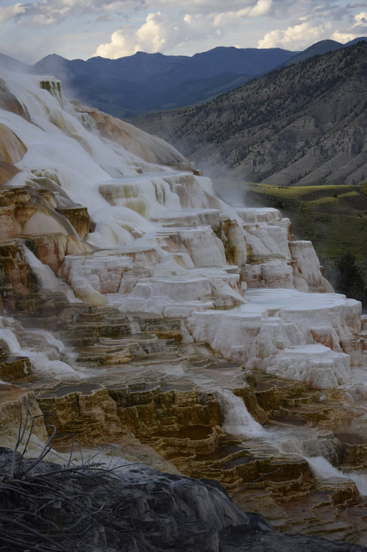
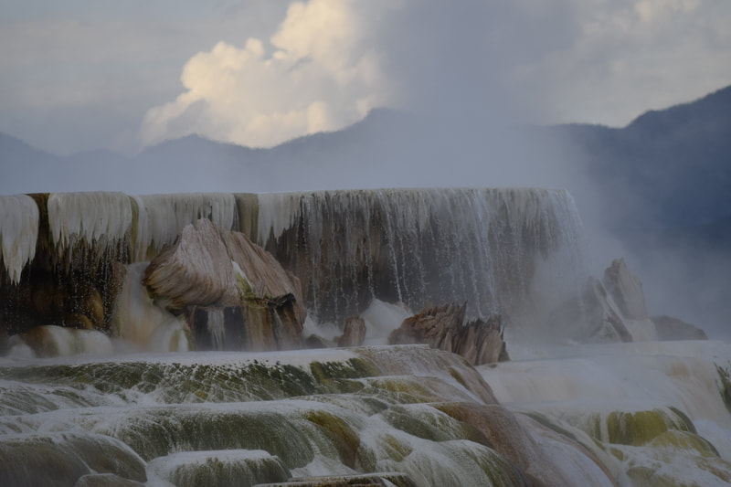
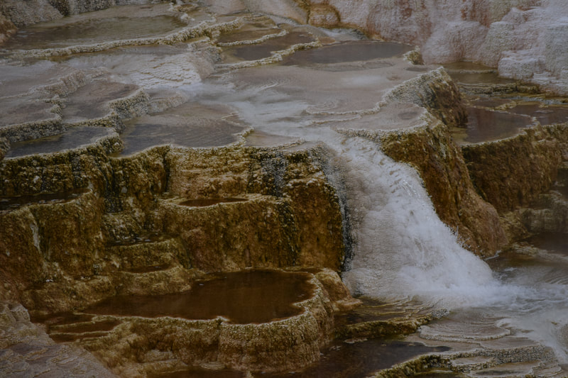
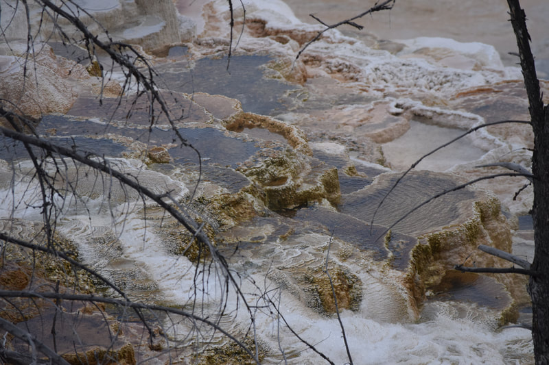
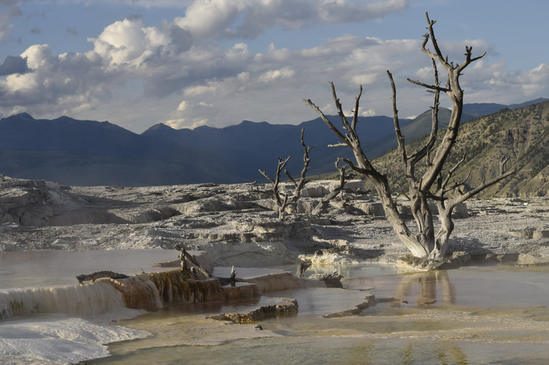
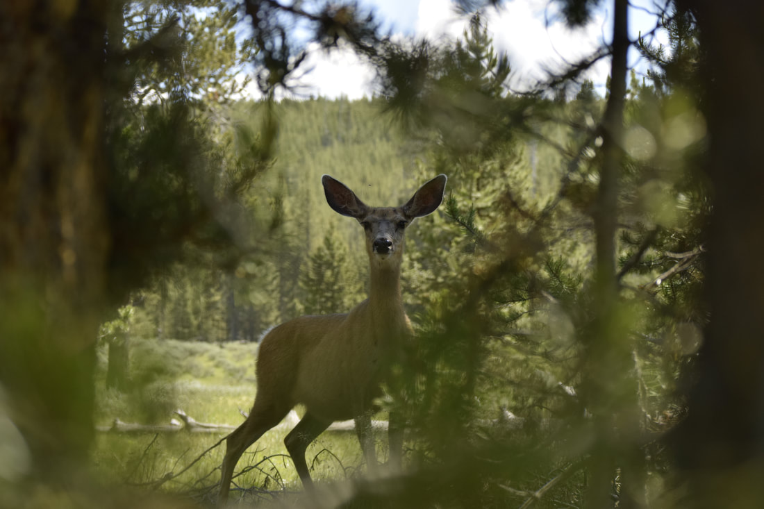
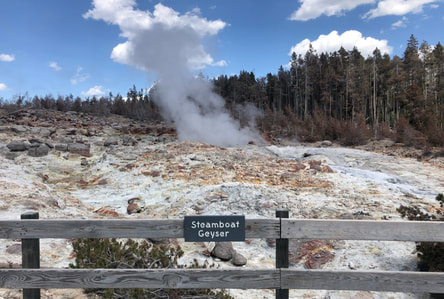
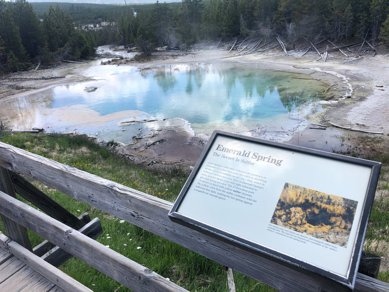
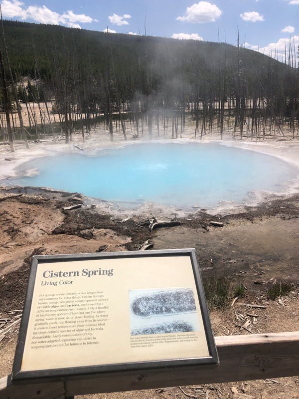
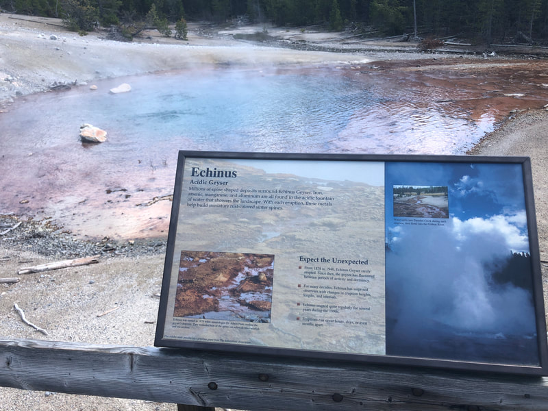
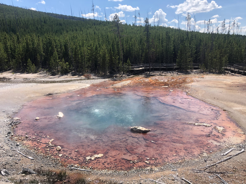
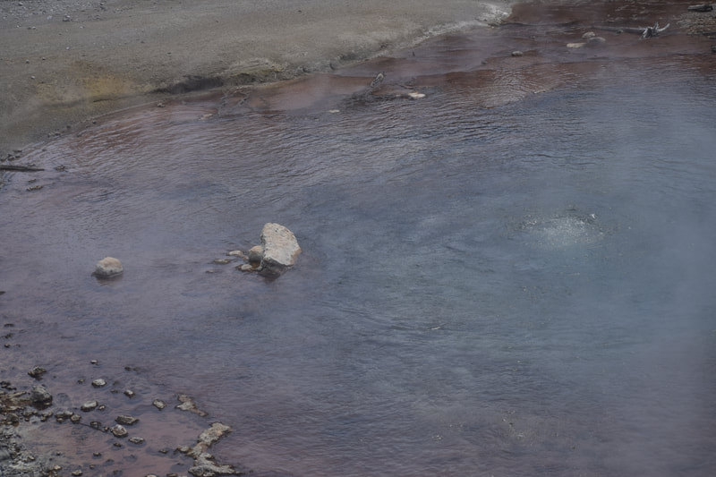
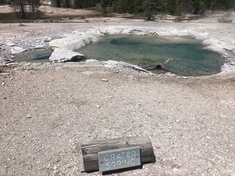
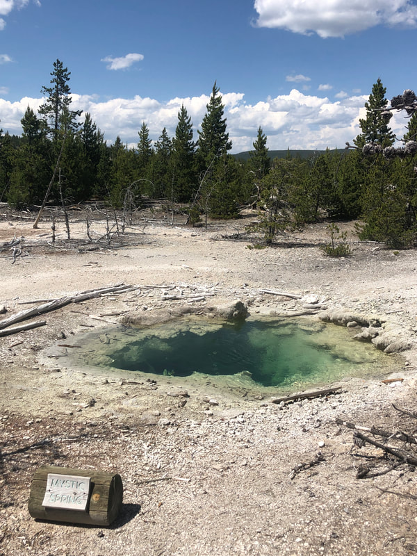
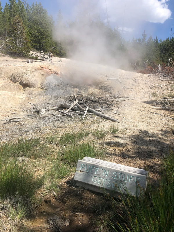
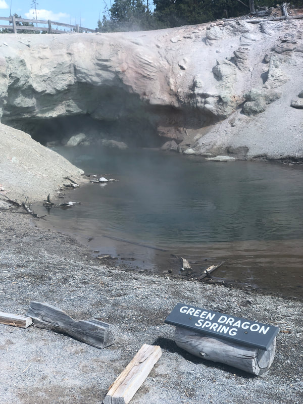
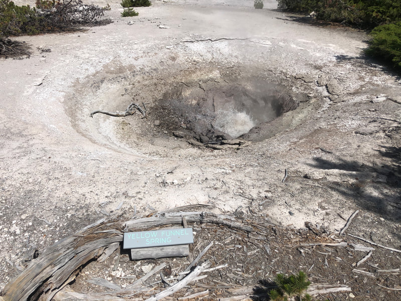
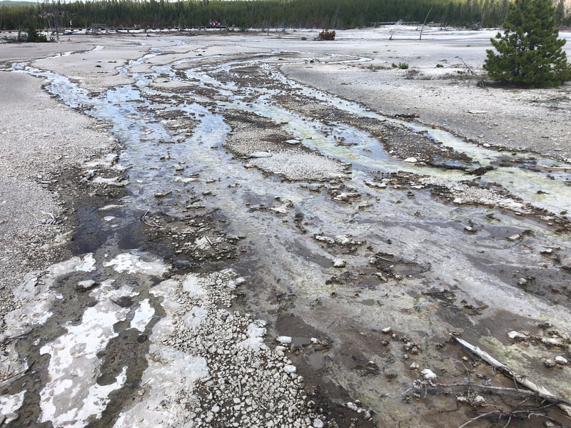
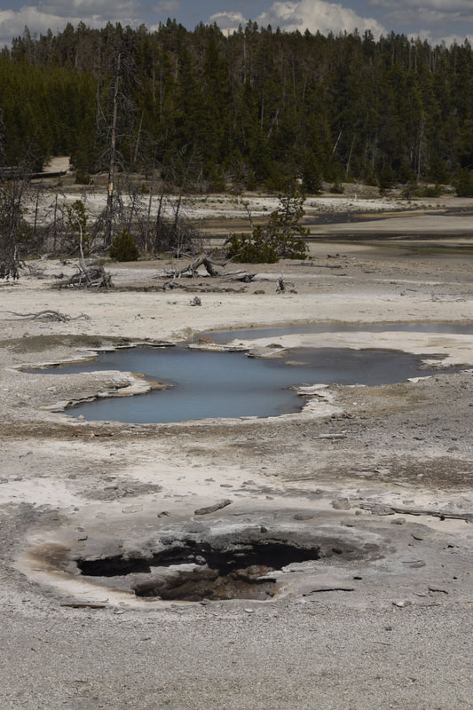
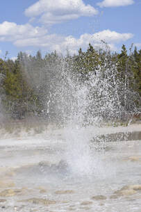
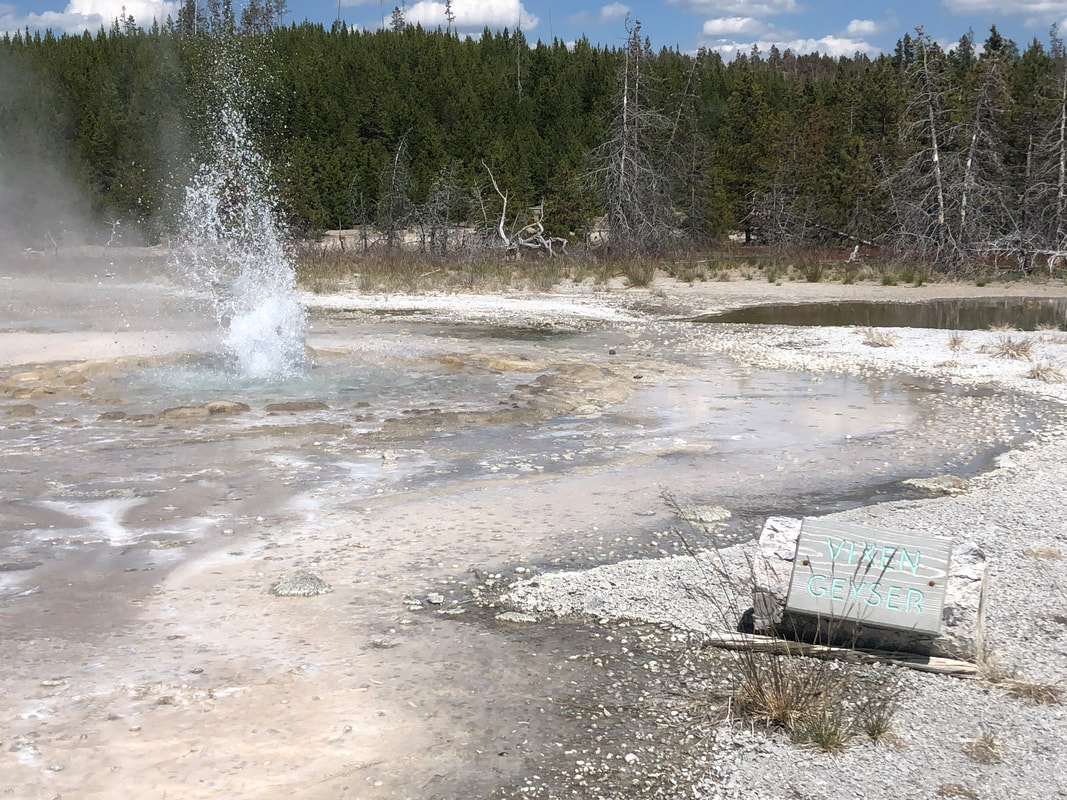
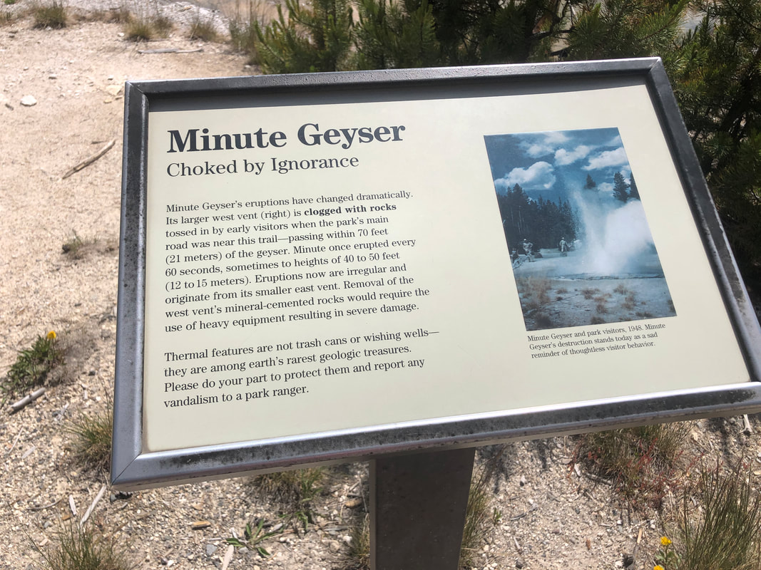
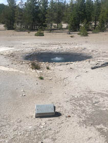
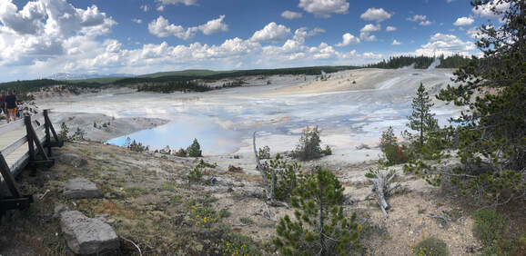
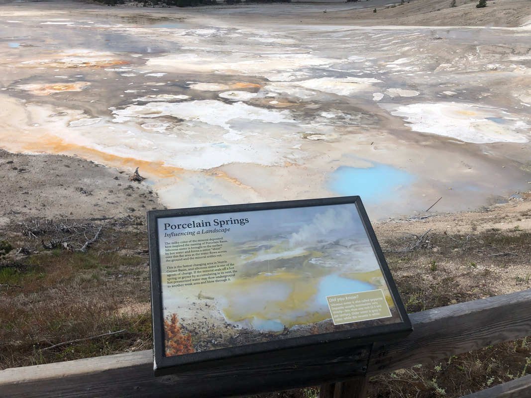
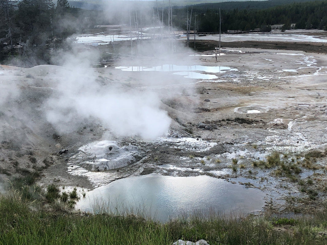
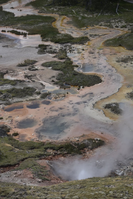
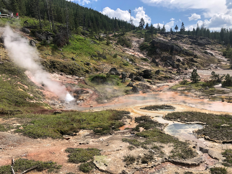
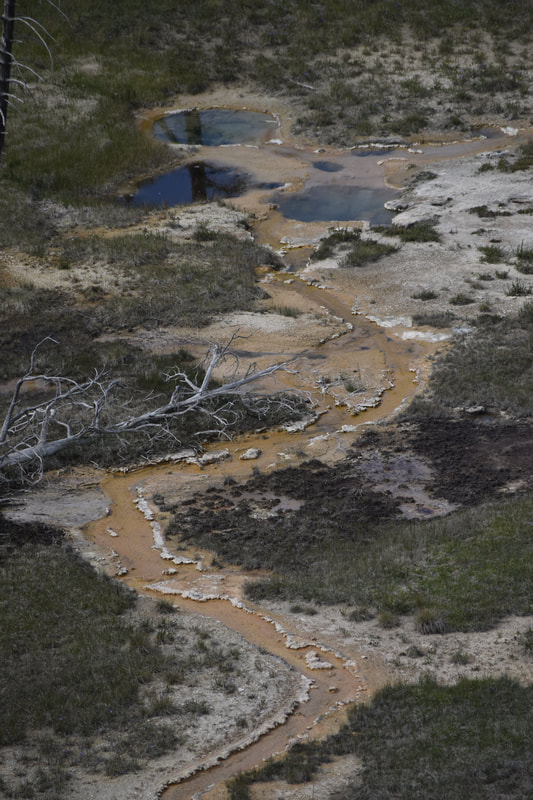
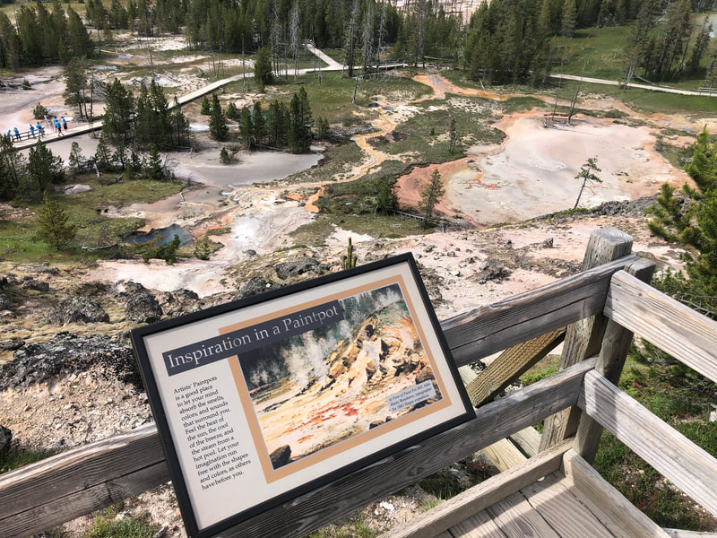
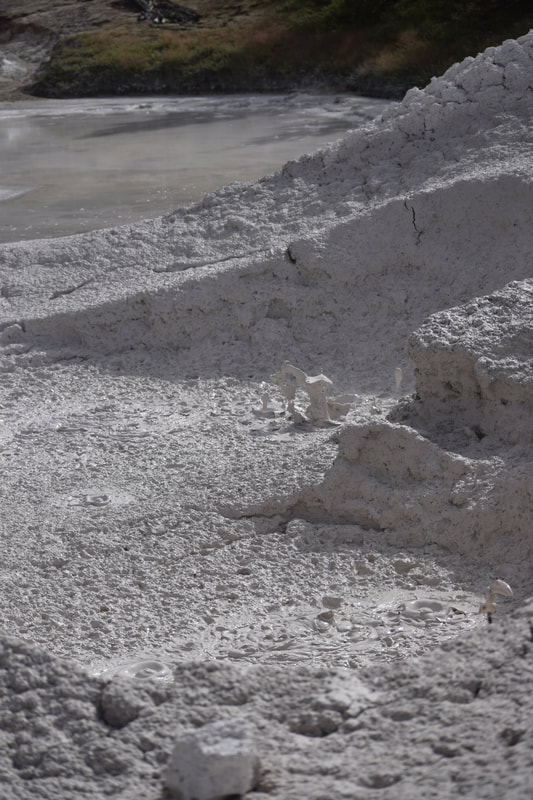
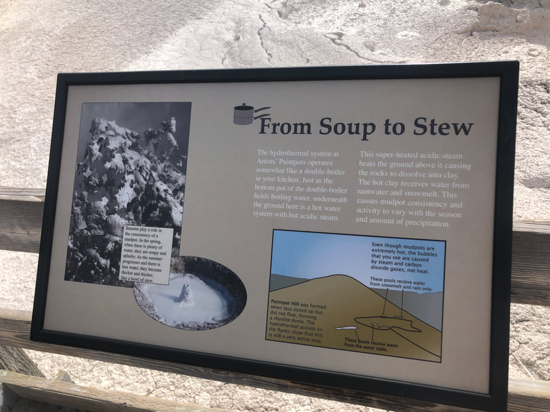
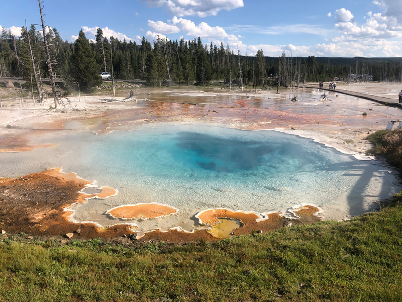
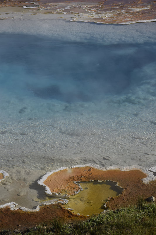
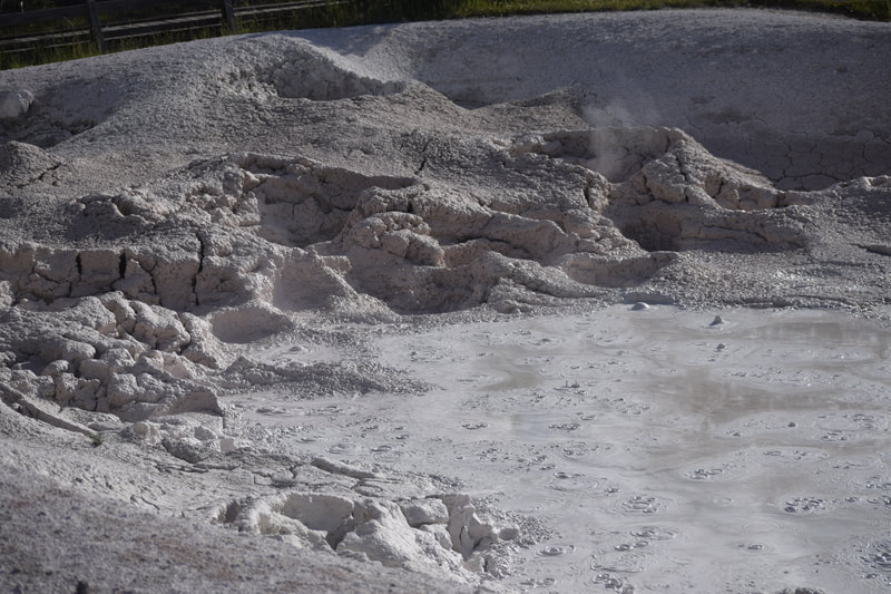
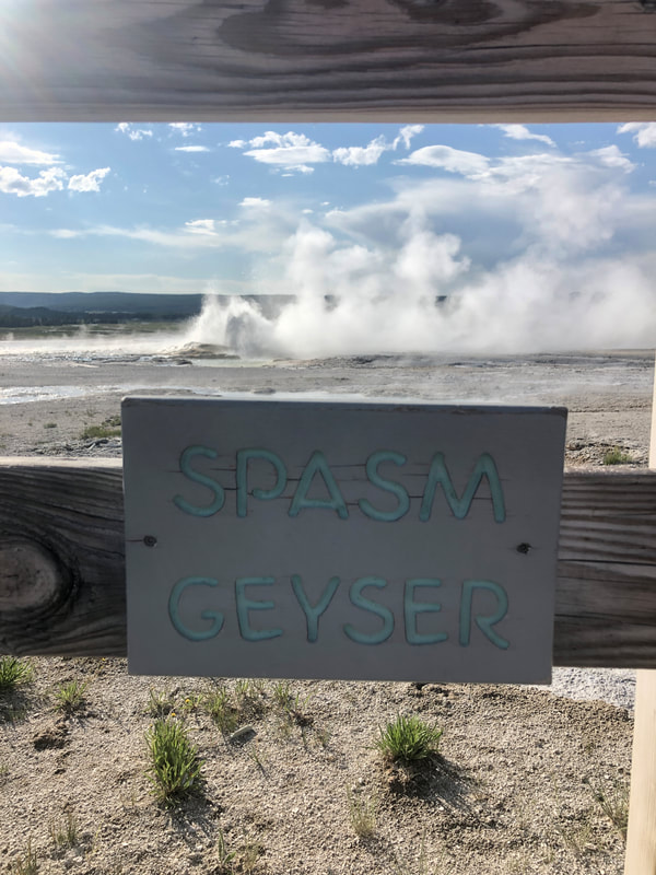
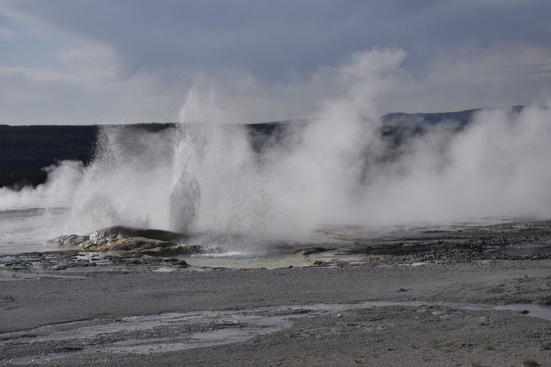
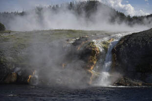
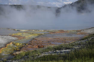
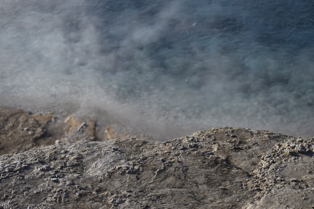
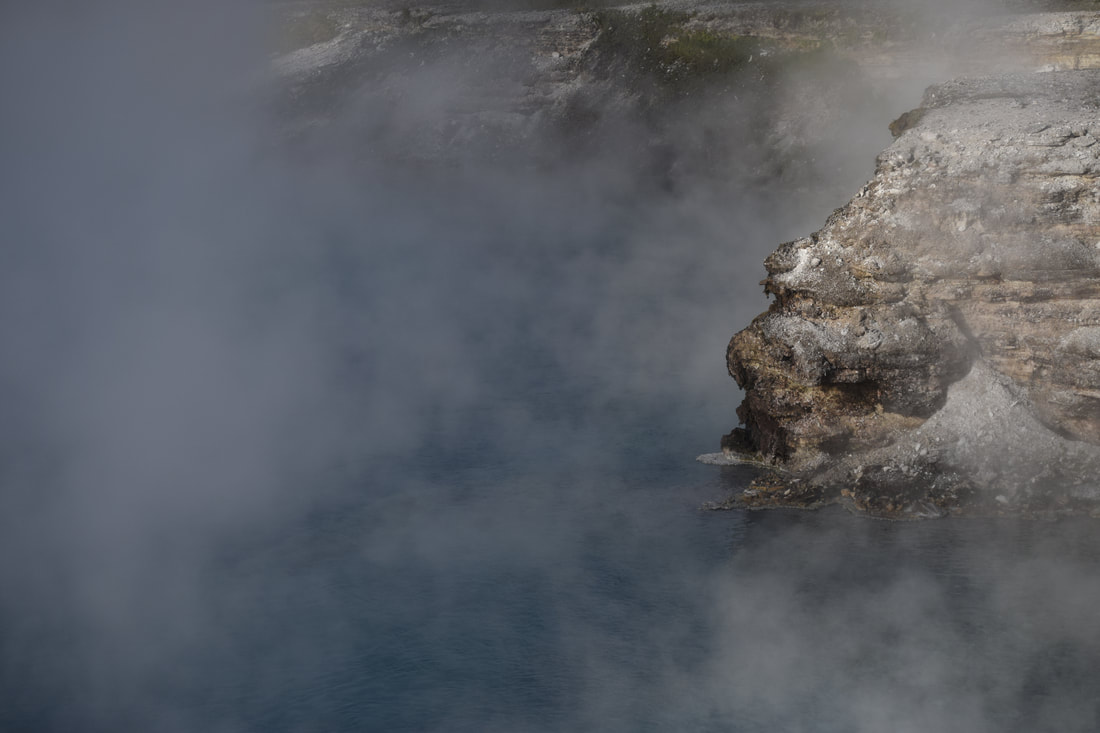
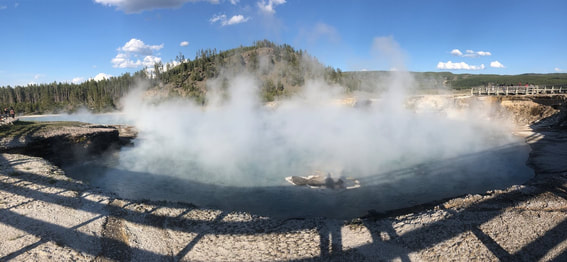
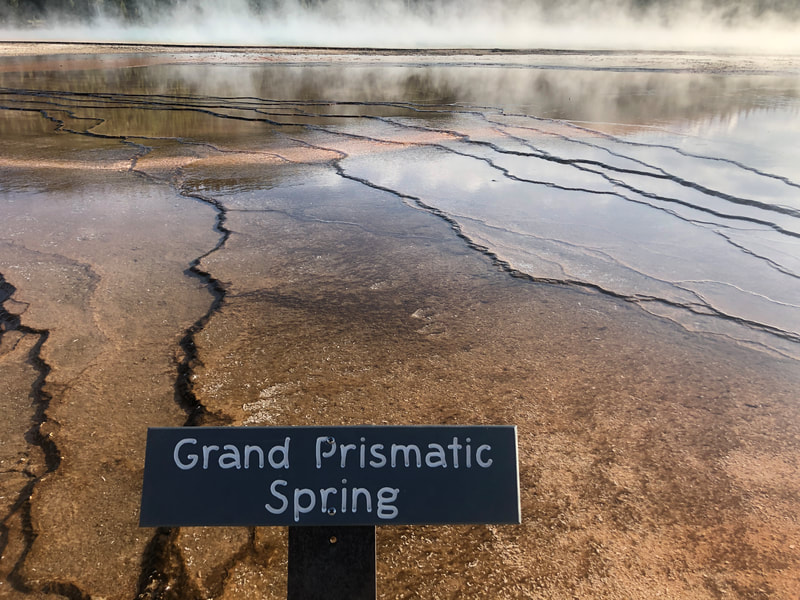
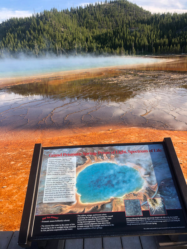
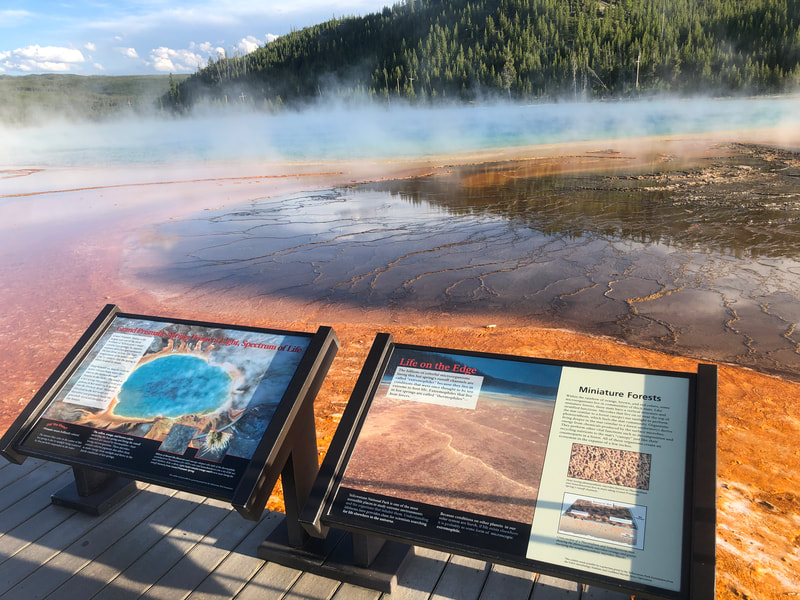
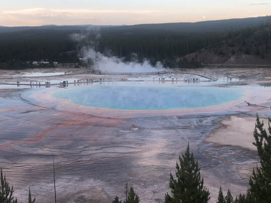
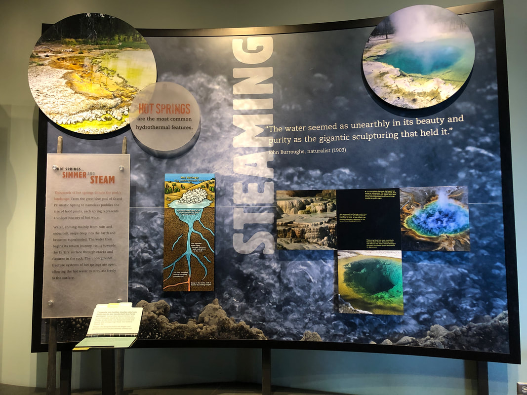
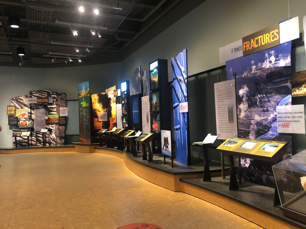
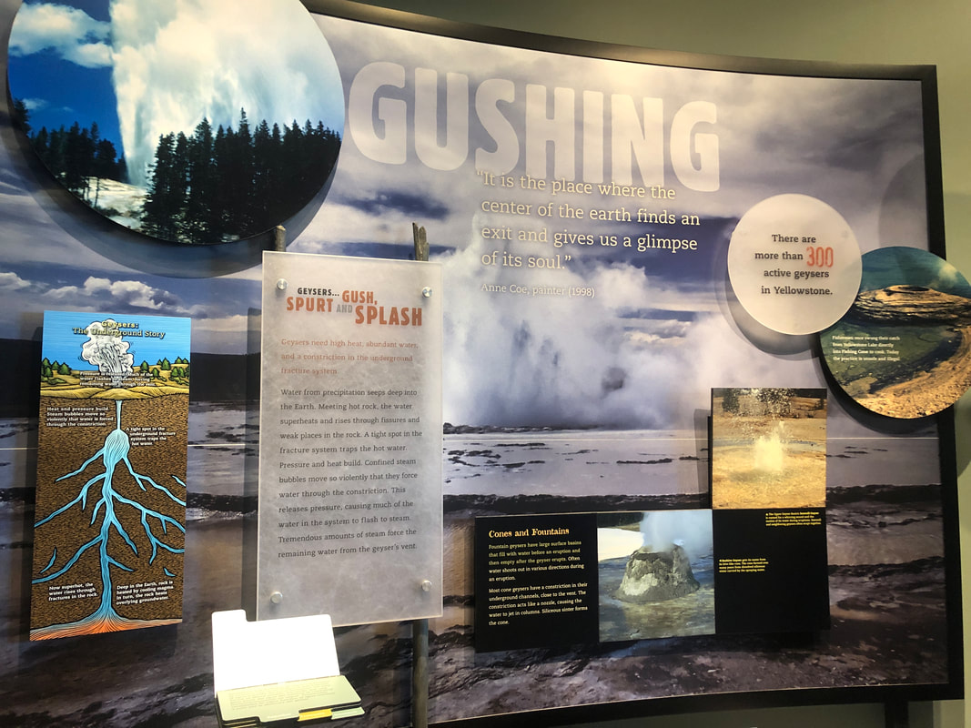
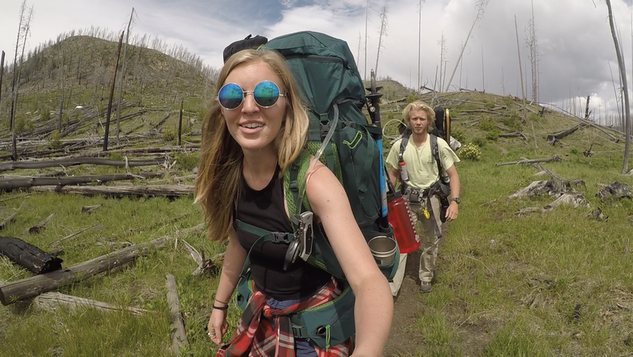
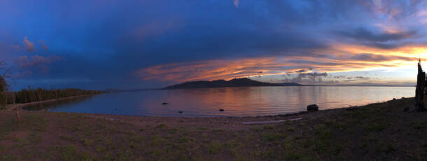
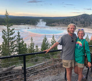
 America’s first national park is home to one of the world's largest volcanoes. Magma nor ash spew from this supervolcanic hotspot, but constant heat affects the landscape and groundwater in spectacular ways. It’s no wonder why this part of America is protected. Yellowstone National Park encompasses over 28,000 square miles of sulphuric hot pots, glacier valleys, bubbling geysers, and picturesque lakes. In one week, John and I were able to see its highlights while backpacking through the backcountry and driving around its main roads. You can see our entire trip on our YouTube channel here! Before we stepped foot in the park, we did a lot of planning and research in a very short amount of time. Acquiring permits, preparing food, and packing were critical to our success in the backcountry. We wrote our Planning and Researching post to show every step we took. Days One-Five: Backpacking in the Backcountry Most of our time in the park was spent on the Thorofare Trail. We spent five grueling days hiking through some of the most remote parts of the park. Hiking south along Yellowstone Lake toward the Yellowstone River included forest fire damage, lakeside valleys full of wildflowers, and deep woods. 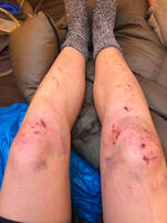 We were set to hike 30 miles and turn around, but due to a swiftly flowing river, we were forced to turn around after 16 miles. It was our first backpacking trip and even though we didn’t complete the trail, we learned a lot about being in the wilderness and can’t wait to hit the trail again! Our “10 Biggest Backpacking Takeaways” post lists some things we learned. 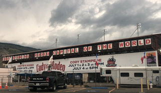 When we got off the trail on the Fourth of July, there was nowhere to stay in the park. Camping is only allowed at designated sites, and each site had already been filled. We were forced to look outside the park, so we looked beyond the park’s East Entrance. We headed out to Cody, Wyoming, with hopes of getting a good, hot meal and a soft bed. We only found one of these and also unfortunately missed the 100th annual rodeo. 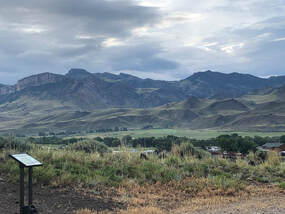 We stayed at a trailhead off the highway between Cody and Yellowstone's north entrance. We stayed at a trailhead off the highway between Cody and Yellowstone's north entrance. We got some burgers at Buffalo Bill’s Irma Hotel & Restaurant before finding a Bureau of Land Management spot to park my car camper. After each day of driving around the park, we left its boundaries to grab a bite and stay the night. Some nights were easier than others, but we wrote about where we ate and stayed each night in this separate post to help others who are in the same situation we were in! Day 6: The First Day of Driving 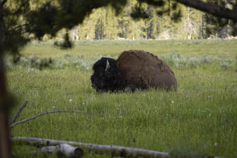 Our first day driving around the park started bright and early at the East Entrance. Almost immediately, John spotted some Bison in a valley just past the Fishing Bridge. We pulled over to snap some pictures of two hiding in the shade just yards from our car. We thought this was an up-close experience, but we had no idea what would happen at our next pulloff. 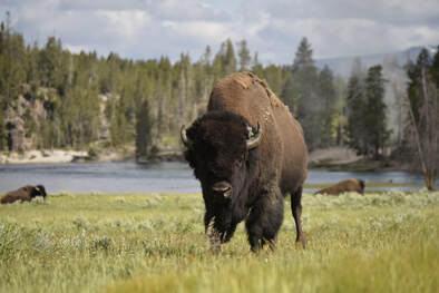 As we kept driving through the valley, we saw a group of cars stopped, so we pulled over as well. Everyone was on a small hillside, but John and I found a trail reaching from our car and into the grassfield. We walked out to the end of the trail and were still 50 yards from the closest bison. I took some pictures, but as I started to walk toward the hill for a different angle, the bison started to approach John! It got within 5 feet of him while the two stared at one another. John never lost his cool, and the bison turned to walk toward the road! Still struck with awe, we hopped into the car and continued driving to the Mud Volcano. Mud Volcano This was our first hydrothermal area in Yellowstone. It sits inside the Yellowstone Caldera and is constantly shifting. Magma below the surface creates mud pots, hot springs, and geysers. Some of the most acidic mud in the park is found here and caused by microscopic organisms on and below the surface. The Mud Volcano Trail is a half-mile boardwalk loop that passes Dragon’s Mouth Spring, Mud Volcano, Grizzly Fumarole, Sour Lake, Black Dragon’s Cauldron, Sizzling Basin, Mud Geyser, and Mud Caldron. It was truly fascinating to walk around and explore these sites. Across the street, the Sulphur Caldron is as acidic as battery acid! We checked it out before driving off to the next area, but even that didn’t come without a few stops to see wildlife including, for the first time, a black bear!! 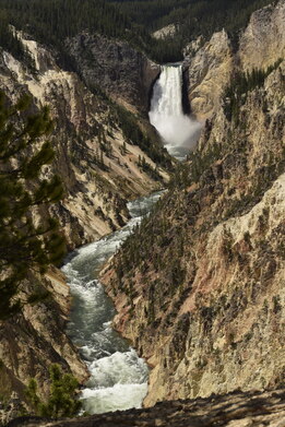 Canyon Area This area has been torn apart by glacial movement, volcanic activity, and erosion all mixed together. You can see the layers of history in the incredible canyon walls that the Yellowstone River has cut through. We started our tour of the ‘Grand Canyon of the Yellowstone’ at Artist Point working our way south then north again along the north rim. Uncle Tom’s Trail was closed when we went, but the South Rim Trail was open, and we were still able to get close to the upper falls. As we continued northward, we drove up to Mount Washburn but quickly turned around as an afternoon thunderstorm rolled in. 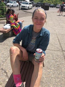 Tower-Roosevelt Our next stop was Tower Falls and the general store. Mid-day was approaching, and it was hot and crowded. John and I went in the general store for souvenirs and air conditioning but ended up with beers. We crushed them under the awning outside before continuing on to Tower Falls. It was a quick stroll to see the fall, but the trail continued past the viewpoint. We kept going the extra bit, and the trail led us to the shores of the Yellowstone River. We explored and hung out for a bit before deciding to head back up for lunch. We made a quick stop at the petrified tree to see what that was all about. The silica mold of an ancient redwood tree left us with more questions than answers as did most things in the park. Yellowstone is truly full of fascinating curiosities. 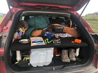 We decided to pull over at the Forces of the Northern Range trailhead. We wanted to stop for lunch and a group of people with binoculars caught our attention. Turns out, they were looking at bears way off in the distance, but by the time we had eaten, the bears had come much closer. We got a very good look at a momma and her cub as they nibbled on some flowers. 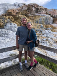 Mammoth Hot Springs We timed our arrival at Mammoth Hot Springs perfectly. The earlier shower had scattered some of the crowd, and many of the visitors had finished for the day or were making dinner. For periods of time, we had entire areas to ourselves which allowed us time to quietly ponder and talk about the perplexing landscape. We wondered and discussed a lot, because little of the science and geology on display answered our questions. 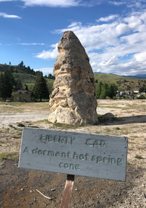 We started our walk at Liberty Cone. Most cone shaped mounds like this only grow to 1-2 meters, but this one is almost 14! It greets visitors on the way to the Mammoth Hot Springs Trail and is a spectacular site to see. That being said, it could not compare to its neighboring mineral fountain. Palette Springs was one of the most perplexing formations we witnessed in Yellowstone National Park. As hot steam rises through limestone, calcium carbonate is dissolved and carried to surface pools. The calcium carbonate is deposited and form stone curtains that show the pathways of overflowing water. These wonderful pools of steaming water are also homes to multi-colored bacterium. From organisms that feed on sulfur to organisms that photosynthesize, these pools are abloom with life. The Palette Springs boardwalk makes a loop through the lower area. We went clockwise to see Mound Spring, New Blue Spring, Cupid Spring, Grassy Spring, Dryad Spring, and Canary Spring before circling back to Cleopatra and Palette Springs. The entire time, we were enthralled by these formations and creations. It was one of my favorite areas in the entire park and the one that I have the most questions about.  When our brains were fried from contemplation and our tummies started growling, we decided to head out the North Entrance toward our hotel. We grabbed some bar food at the Emigrant Outpost in Pray, Montana, on our way to The Lewis and Clark Motel in Three Forks. Day Seven: Heading Back South 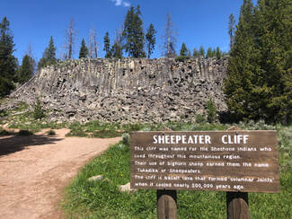 We woke up the next morning and hit the road back toward the park. After a stop in Bozeman for a quick, fluffy breakfast at Stuffed Crepes and Waffles, our first stop in the park was Sheepeater Cliff. Its name was not as gruesome as it sounded. It was named after the local group of Native Americans who ate and relied on the mountain sheep. We saw some marmots and a cute deer hiding in the woods before we drove off to another geyser basin. 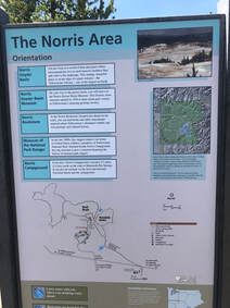 Norris Geyser Basin Norris Geyser Basin sits along two fault lines and a fracture in the Yellowstone Caldera. These cause frequent earthquakes and movements in the land. A park ranger said that every year new hot springs appear while others become dormant. We could see just how quickly things were changing, because part of the boardwalk in Porcelain Basin was roped off. The geysir basin is split into two sections: Porcelain Basin and Back Basin. Porcelain Basin is a large, colorful sight, but Back Basin provides close up views of individual geysirs. We chose to do the Back Basin Trail first. 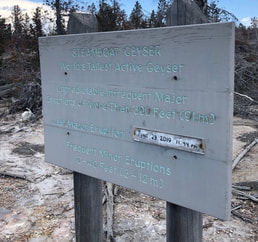 The longer trails have smaller crowds, plus there was a lot more to see in this area including the tallest active geyser in the world, Steamboat Geyser! We watched and hoped for Steamboat to blow at the beginning of the Back Basin Trail just past Emerald Spring, but sadly did not see it erupt. The trail continues past Cistern Spring, Black Pit Spring, Echinus Geyser, Arch Steam Vent, Mystic Spring, Puff N’s Stuff Geyser, Green Dragon Spring, Blue Mud Steam vent, Yellow Funnel Spring, Porkchop Geyser, and Vixen Geyser. 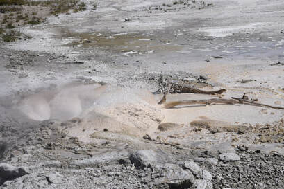 Porkchop Geyser is especially intriguing, because it made an epic comeback from dormancy in the 80’s. It shot rocks hundreds of feet into the air, it has since calmed back down and when we saw it was just a roiling hot spring. We got a surprise eruption from Vixen Geyser as we were leaving Veteran and Corporal Geysers. The little hole shot water about 15 feet into the air for several minutes. It was very impressive and unexpected. We finished the Back Basin Trail with Palpitator Spring, Fearless Geyser, Monarch Geyser Crater, and Minute Geyser before heading to the Porcelain Basin. We didn’t spend nearly as long in the Porcelain Basin, because we had spent nearly two hours on the Back Basin Trial. Plus, the Porcelain Basin Trail was shorter and much more crowded so we didn't need as much time. We stood at the overlook and did the short loop to see Congress Pool, Porcelain Springs, and Hurricane Vent before hopping back in the car to see what else the park had to offer. Madison Area I had never heard of or seen mud pots before, but when we arrived at Artist Paint Pots in the Gibbon Geyser basin, we could see exactly what they were named for. The gurgling pools of clay and nearby fumaroles were steaming along the hillside as we walked across the boardwalk overlook. Lower Geyser Basin Lower Geyser Basin is home to the Fountain Paint Pot Trail where John and I strolled around quickly looking at more mud pots and geysers. This is one of the few places in the park where you can see up to a half dozen geysers erupting in one place. We chose not to go down Firehole Lake Drive due to time constraints. The sun was starting to set, and we still had to see Grand Prismatic and Old Faithful! Midway Geyser Basin Grand Prismatic was one of the things I was most excited to see in Yellowstone. Those brilliant colors are iconic, and I couldn’t wait to take it all in. Before actually getting to Prismatic Spring, the trail crosses the Firehole River where steaming water flows over the edge of the spring into the river. The boardwalk then takes you to the top of the basin and leads along the rim of the mystical, blue Excelsior Geyser Crater and up to the copper mouth of Grand Prismatic. Grand Prismatic is the largest hot spring in Yellowstone National Park.Viewed from the park's boardwalk, rust colored stone ripples extended away from a constant cloud of dissipating steam. Glimpses of deep blue escaped the fog and reminded us of the single spring's size. Larger than a football field, this behemoth is best viewed from above. 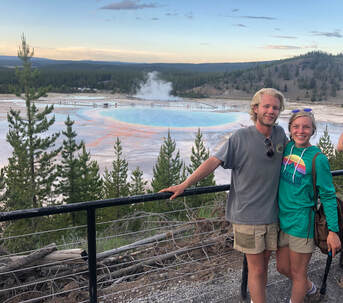 Its grandeur was hard to comprehend, and it was impossible to see entirely from the boardwalk. We noticed hikers at an overlook on a hillside, and we knew the hike would be worth a better view. We drove south and found the Fairy Falls trailhead parking lot on our right. The Fairy Falls Trail leads to a great overlook right above Grand Prismatic. From up there, we could see how truly massive the entire geyser basin is. It was spectacular, but we didn't stay long. The sun was setting, and the mosquitoes were coming out. We hiked down and opted to skip Biscuit Basin in an attempt to get to Old Faithful before the sun set. 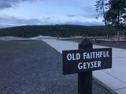 Upper Geyser Basin We arrived at the Old Faithful Visitors Center around 8:45 pm with just enough light out to see the geyser. There was hardly anyone waiting on the benches except a few families. The one closest to us believed it would erupt in the next 15-20 minutes. After a little while, another family approached and said that it was going to be almost another 30-45 minutes. We knew that, by that time, there would be no light left. We were starving, so we decided to save Old Faithful’s explosion for the next day and see if we could score a bed in the lodge. 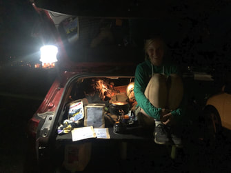 John and I discovered that we could score a bed for the night at $450. After politely laughing at this price, we got phone numbers for some of the park’s campsites. Sitting and cooking dinner in the parking lot, we called and searched for an open spot. With no luck in the park again, we went out the West Entrance of the park and drove to Idaho. We found a secluded place to park my car camper with freecampsites.net and rested our heads next to a gently flowing creek Day Eight: The Final Morning The last morning of our trip started with breakfast from Old Town Cafe in West Yellowstone before embarking on our last day of driving through Yellowstone National Park. It was Sunday, and the only thing left we had left to see was Old Faithful erupting. It took us a lot longer than we expected to get there, because the crowds had grown dramatically. Parking lots were overflowing and causing jammed turn lanes, plus more people meant more cars parked on the side of the road when wildlife was visible. It was extremely frustrating, but John and I were unbelievably happy that our past two days hadn't been like this. We finally arrived at the Old Faithful Visitor Center around noon, and it was also packed. There were people everywhere. We had 30-45 minutes to spare until the geyser’s predicted eruption. I walked through the history and science museum before we met on the boardwalk and found a seat to watch the show. 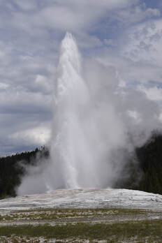 I call it a show, because the eruption went on for several minutes! We were not expecting this at all. Every other geyser we had seen would shoot off once or rumble lowly, but Old Faithful shot water dozens of feet high for minutes. Everyone around us “oohed”, “aahed”, and applauded afterwards. As soon as it ended, so did our vacation. Everyone around us left the area, and we eventually meandered our way to the car looking back at what had been a crazy, wonderful, and beautiful trip. You can see our entire trip on our YouTube channel here!
0 Comments
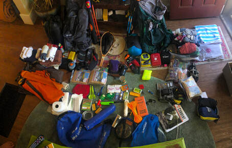
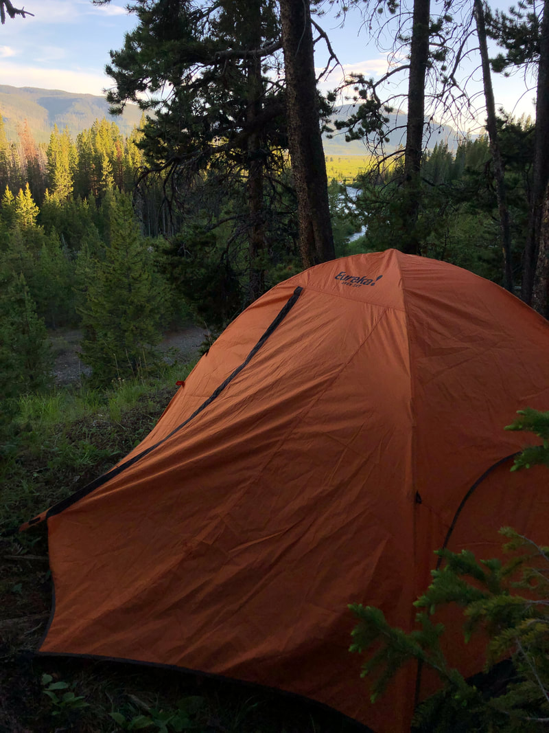
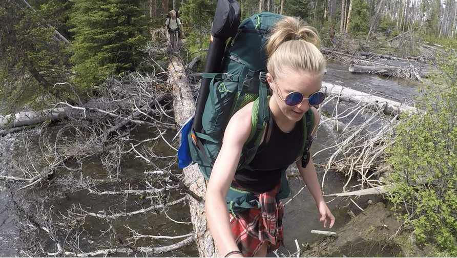
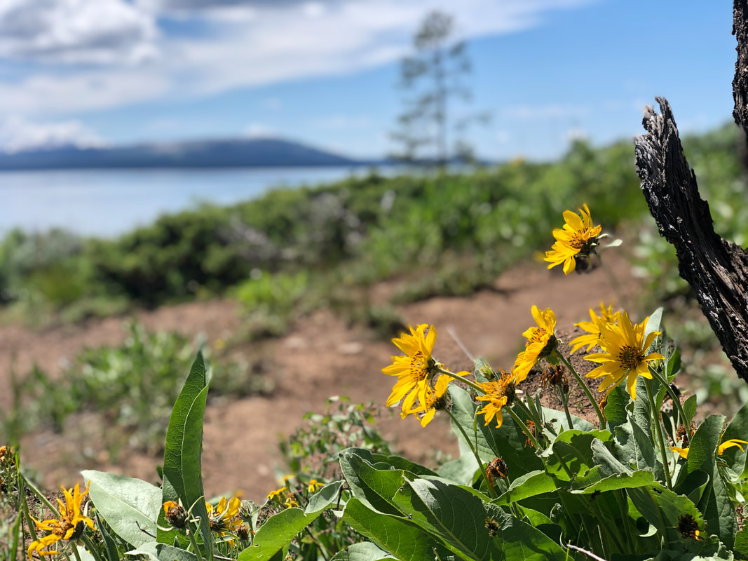
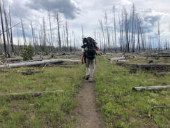
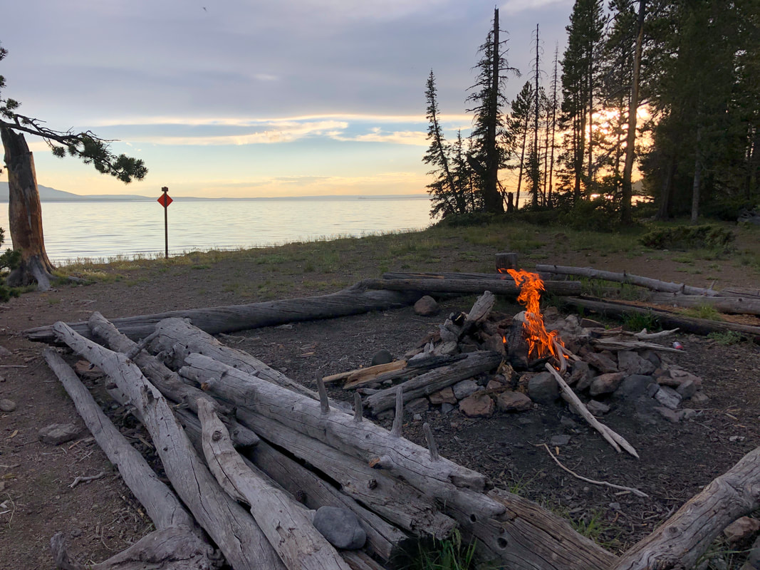
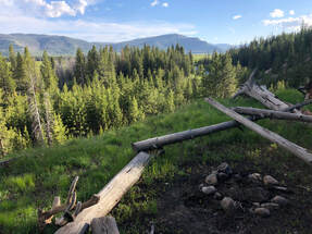
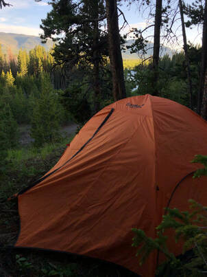
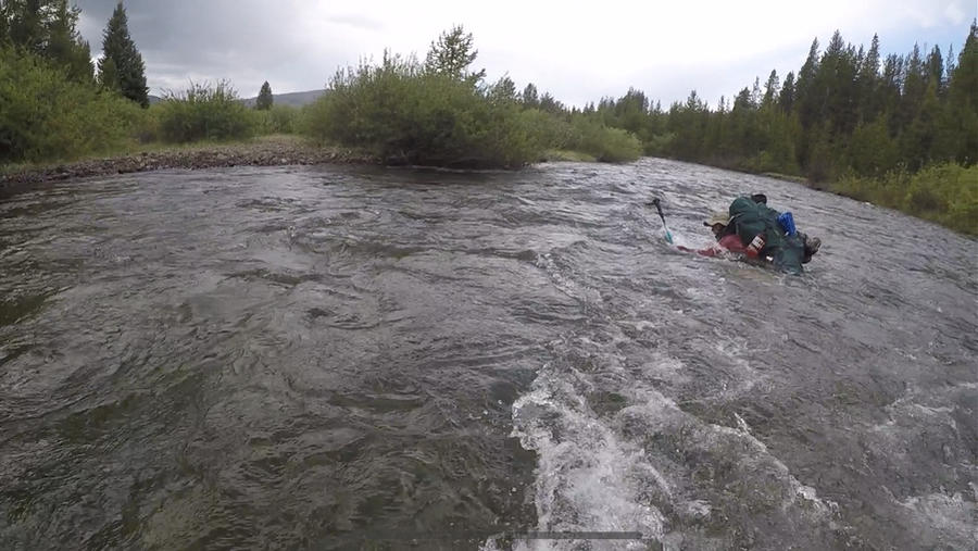
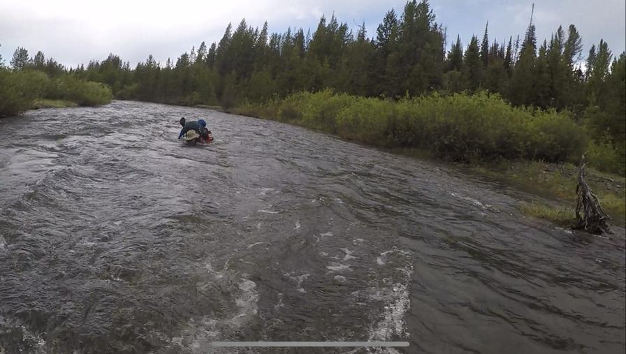
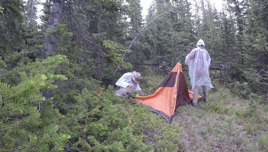
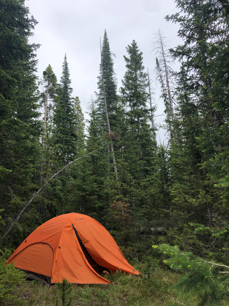
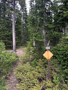
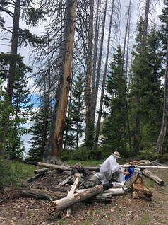
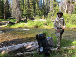
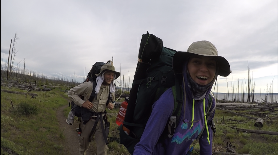
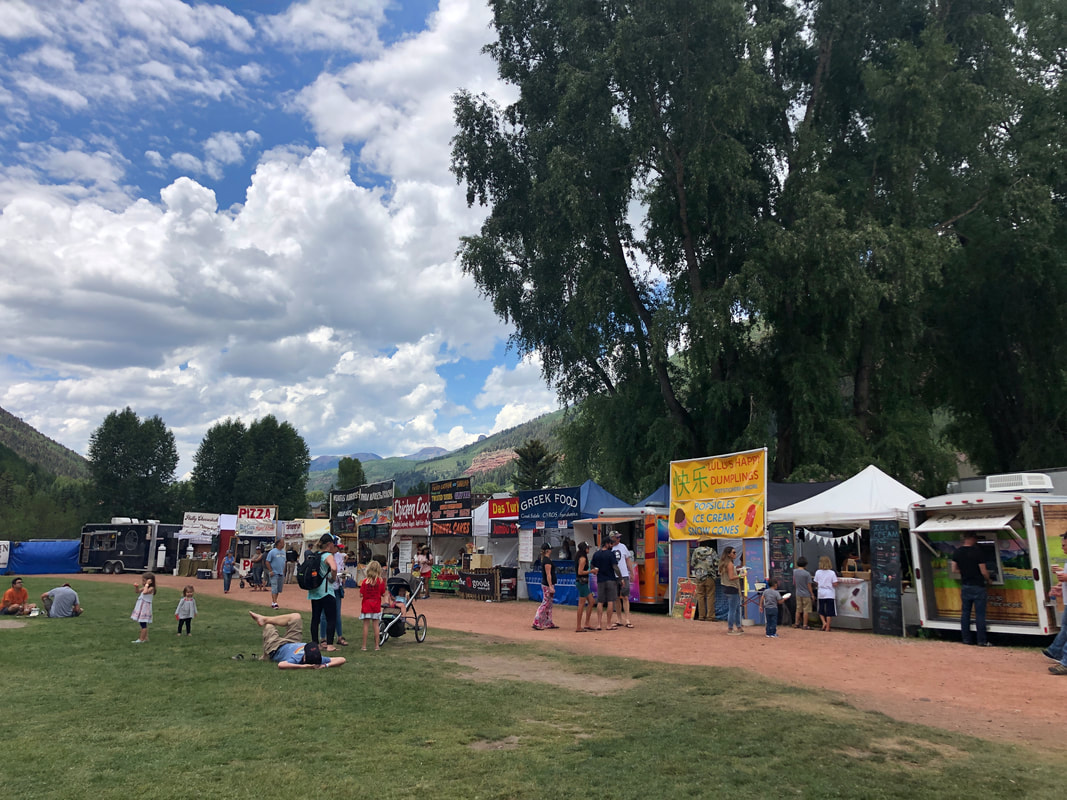
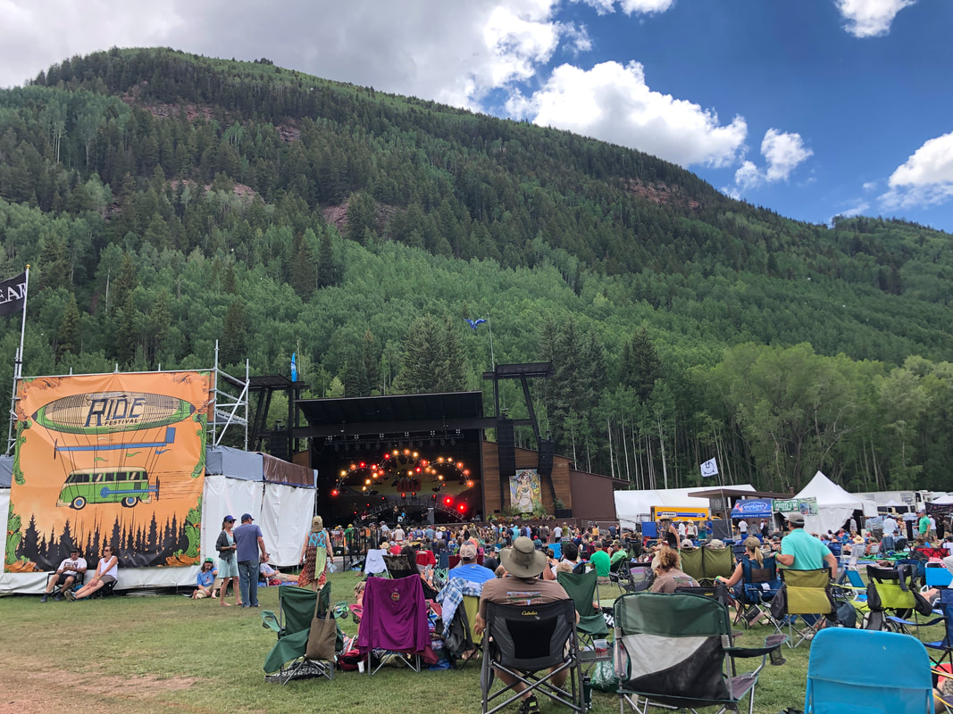
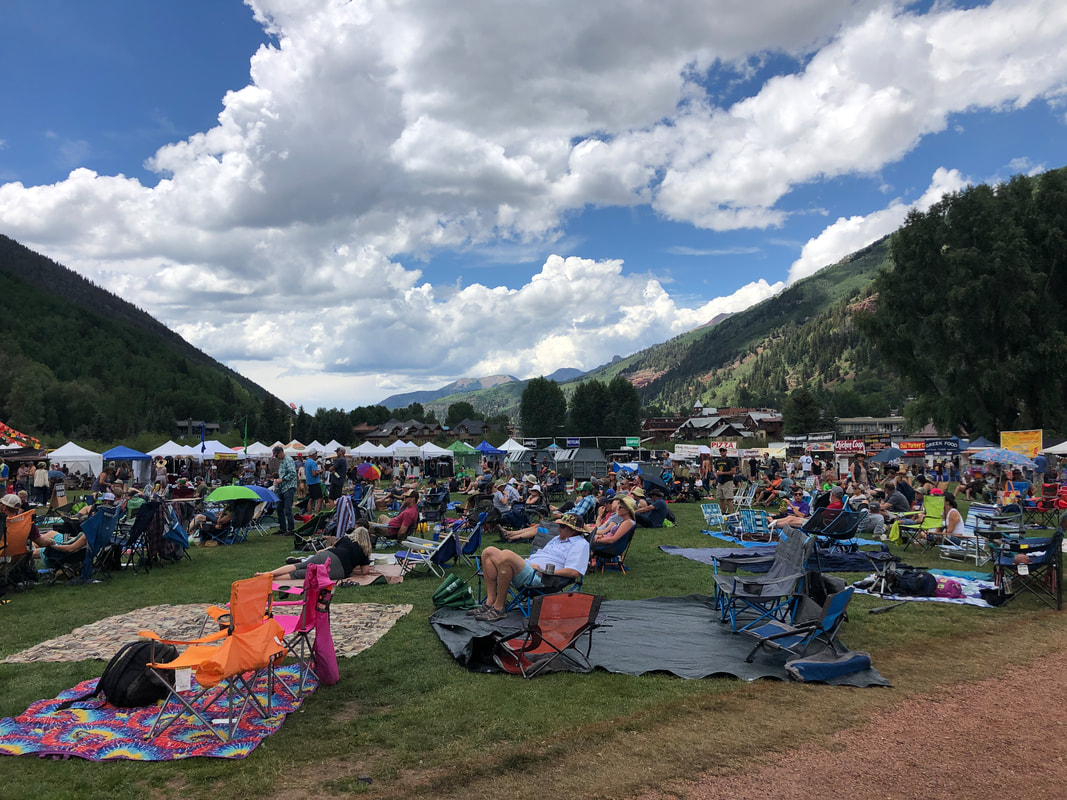
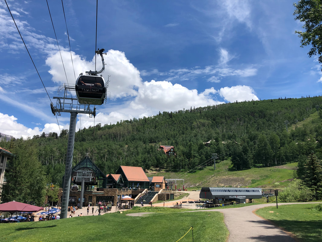
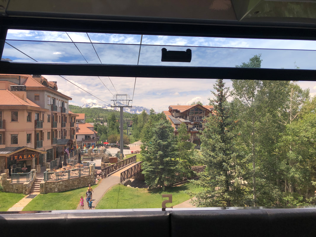
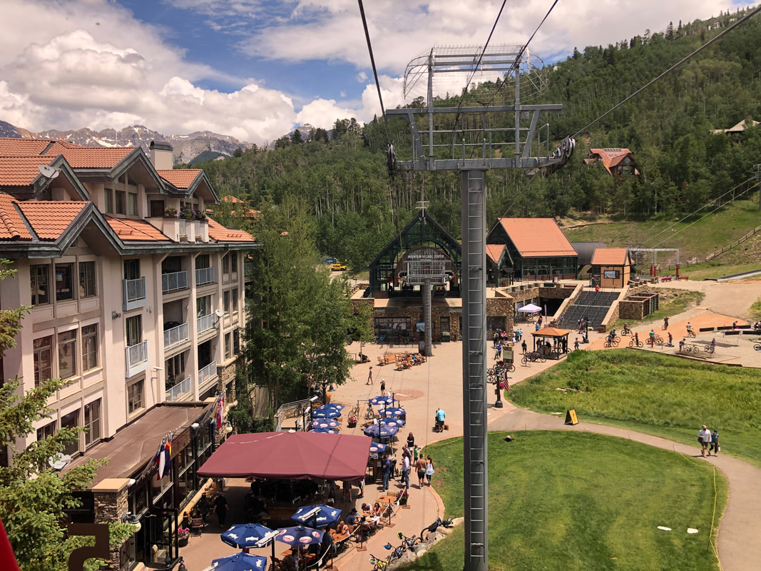
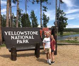 My birthday falls very close to the Fourth of July, so every year, I enjoy taking a weeklong trip to celebrate both events. This year’s trip was a hard one to plan though. Record breaking snowfall in the Northern and Midwestern U.S. left some of the places I planned to visit with my travel partner, John, unobtainable. After dozens of calls to Park Rangers and Forestry Offices across Colorado, Wyoming, Montana and Idaho, we found that Yellowstone National Park was snow free and hikeable. Right away, we sat down and started planning an epic 60-mile hike in the southeastern corner of the park. You can see our entire hike on our YouTube channel here! 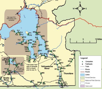 We were instantly drawn to the Thorofare Trail. This area is deemed one of the most “remote” parts of the country. It follows the Yellowstone Lake and River to the park boundary and sits nearly 25 miles from any road in every direction. It took a great deal of research to make sure we would be safe in bear country when so far from rescue. We have never done a trip this long and intense before. We spent days planning out our trail, buying new gear, and packing up our campfire meals for the week long adventure. You can read all about our research, planning, and packing process here. 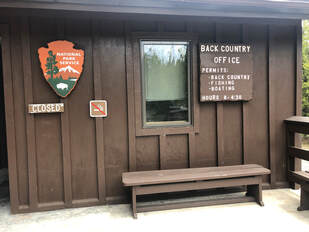 Once we were all packed and ready to go, we set out from Denver and arrived at the backcountry office near the southern entrance of Yellowstone 9 hours later. We met with the park ranger to discuss our plans and receive all of our necessary passes. The ranger made some phone calls while we watched a 20 minute safety video about how to handle different situations in the backcountry. He told us that we would have to be very careful because of nearby bear activity and high water in some of the creeks we would have to traverse. We felt that we were prepared mentally and with equipment, so we signed all of the necessary paperwork to confirm that we knew the dangers and paid our fees. To see what gear we carried check out our detailed post here - it lists our most essential items and the few things we wished we had chosen differently. 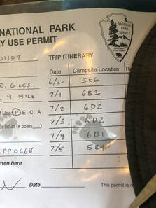 It cost $3 per night per person to camp in the backcountry. We also picked up Yellowstone fishing licenses which were $25 per person for 7 days (3 day and season long permits are also available), and it is important to note that Wyoming Fishing licenses are not valid inside the park. Our total came to $86 for both of us. After the ranger handed us our permits and a detailed map, we headed on our way. We arrived at the Nine-Mile Trailhead on the east side of Yellowstone Lake around 4 pm. With full packs and big smiles, we started our journey into the unknown. Trail Day One – Getting going: 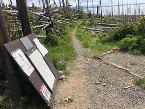 Our first day was an eight-mile hike, along the banks of Yellowstone Lake, to campsite 5E6. The trail did not start off as scenically as either one of us was expecting. We started in a valley of downed trees that had been burned by fires decades ago. For the first mile or so, these charred and damaged trees surrounded us. The lake provided a stunning background behind the broken limbs and blackened stumps and helped make the journey feel less eerie until we entered the wooded and swampy areas. 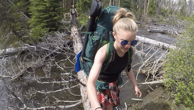 We had to cross several streams on the first day starting with the bigger Cub and Clear Creeks. Each one had large rocks or fallen trees we could walk across making for fairly easy crossings. When we got down around mile 6 near campsites 5E9-5E7, the trail started to change. The Meadow Creek watershed area is where we really entered into the deep woods. The trail became muddy and marshy from snowmelts, recent rainfalls, and little sunlight that broke through the heavy forest canopy. We also noticed a change in the environment by the bugs. 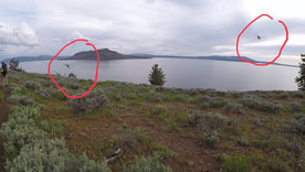 From here on out, the trail was swarmed with hundreds of pestering mosquitoes, flies, and gnats. I really wish I could put into words how many bugs there were on this trail. It was something we were absolutely not prepared for. We quickly learned that we had underestimated the amount of bug spray and bite treatment we would need for the week. It was one of the more valuable lessons we learned on this trip, and you can read about our 10 biggest takeaways from our first backpacking trip in this post! 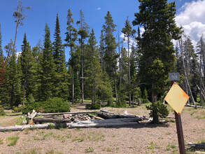 Campsite marker from the banks of the lake, there is also one on the trail. Campsite marker from the banks of the lake, there is also one on the trail. The heavily wooded area ended, and for the rest of the trail, we went in and out of woodsy patches and flowering valleys along the shores of Yellowstone Lake. We caught a break in the curtain of bugs just in time to see the marker for our campsite about two miles after crossing over Meadow Creek. We walked up around 8:30 pm with just enough sunlight to set up our tent and get a fire going before nightfall. Every campsite we visited in the backcountry had a designated campfire area complete with a fire ring, logs arranged around it for seating, and structures created by park rangers for hanging food high enough to be kept away from bears. We staked out everything and set up our tent in accordance with the wind so that the food smells wouldn’t bring bears toward us in the night. John tried his hand at fly fishing while I prepared our dinner. We sat around the fire, ate our meal in awe of the number of stars we could see, and discussed the sheer grandness of our visible Milky Way. This was one of the only clear evenings of the whole week, but still, it rained that night and well into the morning. Trail Day Two – Our first attempt: 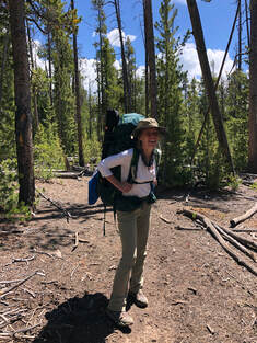 Day two was one of our longer planned days, but we weren’t able to leave our tent until almost 10:30 am. By the time we ate breakfast and packed up our tent and gear, it was almost 1 pm when we got back on the trail. We had almost 10 miles ahead of us as we attempted to make it to campsite 6B1. I say attempted, because that was all we were capable of on this day. The slight exhaustion and the soreness from the day before settled in and made for a fairly hard day for us. Also, starting in the middle of the day made for a much hotter walk than either of us wanted, because we were covered head to toe to protect against the vicious bugs. 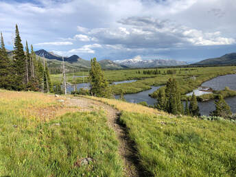 The hike was very similar to the day before’s hike with periods of thick forest and open valleys that exposed views of the lake. The exception was that this day featured many more wildflowers. Instead of having forest fire damage and downed trees, the open parts of this trail were grassy hillsides covered in purple and yellow flowers stretching into the distance. As we got closer to the southeastern arm of Yellowstone Lake, we started to see snowy caps on some far away mountains. It baffled us that the peaks remained frozen in the heat of July. 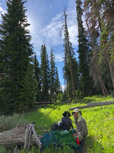 After lots of stops, swats at bugs, and a few slips, we had gone eight miles out of our arranged ten. We had to make the decision to not continue on to our campsite at 6B1 and stop at 5E1 because of exhaustion and a dangerous looking Beaver Dam Creek crossing. It was almost 9 pm when we arrived at the ridgeline campground. We had just a few minutes of sunlight left when we set up our campsite and started a campfire. We were both a little disappointed in our progress that day, because we were walking at nearly half the speed we normally do when hiking, and we discussed ways to make up the ground we had missed. 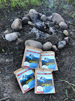 For the first time, we tried our Mary Jane’s dehydrated meals and enjoyed a hearty bag of black bean soup and two burritos each. We were really making sure to load up to help fuel our next day on the trail. Before departing on our trip, we spent a great deal of time comparing dehydrated meals, and we felt that we made the best decision by choosing Mary Jane’s meals. The sodium content, calorie amounts, and organic ingredients were great features, but the actual taste and heartiness of the meals convinced us to keep using Mary Jane’s for every trip we take. If you want to read more about our food prep and decision process, check out this post! We weren’t able to enjoy the night sky for long before storms started to roll in over the mountainous horizon, so we hopped in our tent after dinner and let the thunder put us to sleep. We woke up early the next morning to get a good start on the day. Trail Day Three – The Incident: 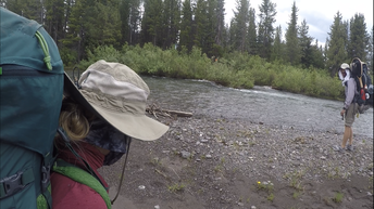 As we were packing up that morning, two park rangers arrived at our site. They asked to see our permits and asked why we didn’t make it to our designated stop. We told them that the approaching storms had worried us and that the water of Beaver Dam Creek didn’t seem safe to cross so close to nightfall. They agreed that we made the right decision and confirmed that the creek was flowing swiftly and reminded us that we would need to be careful when crossing. They told us to get back on track with our permits and try to not stray from them too much. We told them we’d do our best. Once we were packed and ready to go, we hiked down the hill to Beaver Dam Creek around 10 am. We got to the water, rolled up our pants, put our water shoes on, and I pulled out my hiking poles. We thought we were prepared for the crossing, but those thoughts of preparedness turned out to be my downfall – literally. 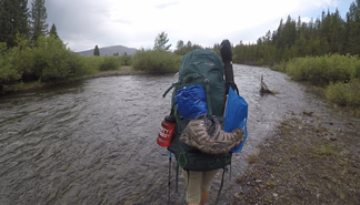 John and I approached the rushing water with too much confidence. We arrogantly but unintentionally ignored some of the things we had been shown in the safety videos and been told by the rangers. When we entered the water, it was only about shin deep and lead us to falsely think we could cross it independently. Instead, the creek deepened quickly and the current got stronger as we went further in. Instead of holding hands or linking arms as we had been shown, we walked side by side until I slipped. The water completely knocked my feet out from under me, and I started to tumble. The weight of my bag and the gushing water coming over me made it impossible for me to gain my footing back or even stabilize myself enough to stop floating down the river. In a matter of seconds, I was being carried downstream dozens of yards from John and the shoreline. Never in my life had I yelled out for help the way I did in this situation. John instantly ran to shore and dropped his bag in hopes of helping me. Somehow, I managed to grab a nearby tree limb and pull myself out of the water before he could arrive. 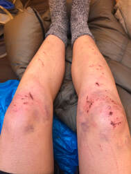 It wasn’t until I was on the bank of the river that I realized I had badly hurt myself in the fall. When I tried to stand up, my right knee went out and started throbbing. I looked down and found that I was bleeding and already covered in bruises. John ran to me, helped me get up, and grabbed my gear. We backtracked the few hundred feet we had just hiked to the creek and arrived back to the safety of campsite 5H1. After cleaning up my wounds and laying out all of my clothes and gear to dry, John and I reevaluated what just happened and realized how big some of the mistakes we made were. It was another lesson we had to add to our experiences, and we both agreed to never underestimate a river, stream, or creek ever again. I was glad we put so much consideration into what was in our first aid kits, you can read about what we carried in this post. My cuts and scrapes could have been easily infected, but we made sure to take good care of them immediately. 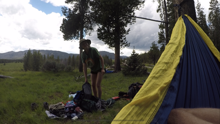 We spent the rest of the day recuperating, relaxing, and soothing the wounds from that morning. We made the decision to stay the night at 5H1 again and head back for the trailhead the next day. It was not an easy or fun discussion especially considering that we were only about half of the way down the trail that we were hoping to finish, but we knew it was the right decision. We set up our hammock and took a nice mid afternoon nap before walking back down to the creek to try our hand at some fly fishing. It was really the first opportunity we had to take significant time to try it out. Even though it wasn’t very successful, it was still fun practicing our casts and rigging up the gear. When the bugs got bad and the sun started to set, we headed back up to the campsite to make some dinner. We enjoyed our Mary Jane’s again just before a storm rolled over us. We slept like babies to the sound of pouring rain and regained our energy for the next day's hike. Day Four – The start of the return: 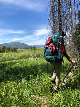 Since the timeline we were given was all messed up, we set off on the trail not knowing what campsite we were going to make it to or how long of a day we had ahead of ourselves. We didn’t really care though. The lack of structure meant that we could take our time getting back and make more stops to better enjoy the trail and wilderness. We were having a very strong day, because the lazy day before really gave us our strength back. We were going at our usual 2 mile per hour rate until John let his focus slip and had a fall that resulted in a punctured palm. Luckily, we were only about a mile from a campsite, so he cleaned, treated, and bandaged the hole in his hand before we pushed on to the site. 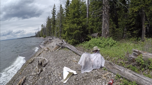 We arrived at campsite 5E4 around 1:30 pm and better doctored John’s wound before an afternoon storm rolled in. We managed to get our rain gear set up and enjoy a lakeside lunch before we had to take shelter. The storm lasted a good little while. Since we didn’t have a plan for the night, we decided to set up camp when the rain stopped even though it was only around 4 pm. We managed to make a small fire with the damp wood around us and watched as the lake started to get dark and choppy again. This night, we weren’t as fortunate as others and had to eat our meals inside of our tent, because another storm came in so quickly. 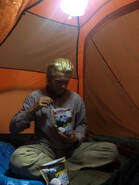 The dehydrated meals’ packaging made it so easy to cook and eat them that we actually enjoyed sitting in the cozy ambiance of the tent for our meal. We went to bed after getting rid of our food waste and hanging up our bear bag. It was still raining, but we knew that it was necessary to get all of our food waste and gear out of the sleeping area. Day Five – The final stretch: 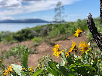 After a good night’s rest and a very hearty breakfast, we got on the trail around 9 am on what would turn out to be our last day on the trail. We were able to cover more ground than we expected, since our bags were getting a little lighter from consuming food and medical supplies, and we were well rested from a couple of shorter days. 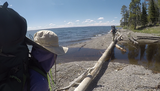 When we stopped for lunch at campsite 5E8, we decided to go for about 3 more miles to reach the last campsite before the trailhead. We were never able to find campsite 5H1, because it was still closed for the season. Before we knew it, we were at Cub Creek and only about a mile and half from the trailhead. We knew we were heading into the forest of dead trees and sunshine, so we stopped one last time for a power snack and to refill our waters. 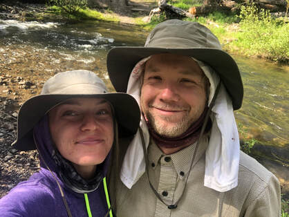 We were off the trail and back at my car around 5 pm on the Fourth of July which gave us enough time to catch some fireworks. Even though we didn’t make it nearly as far as we wanted, the timing ended up being perfect to allow us 2 ½ days to travel around the park and see its more touristy highlights. You can see photos and read our post about our road trip around the park here. We learned a lot on our first multi-night backpacking trip, and doing it in our nation’s first national park made for an incredibly special trip. Since we didn’t finish the trail or get to fish the Yellowstone River, we are already getting plans in place to return to this remote destination and successfully explore its entire length. You can see our entire hike on our YouTube channel here! 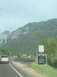 After seeing Widespread Panic for the first time at Sloss Music & Arts Festival in 2016, I was hooked, so when John said to me, “Taylor, Widespread is playing in 10 hours just 6 hours from here. You want to go?” it was a no brainer. We made it to Telluride with what we thought was plenty of time to buy tickets and get in before the show started. As it turned out, the box office had sold out of Friday night tickets, so John and I were forced to look for tickets outside of the festival. We were never able to find single day tickets, but we bought weekend passes and thought, “We’ll stay for another day of the festival or sell the passes.” After having the tickets emailed to us, we hopped in line as the show started at 7 pm. 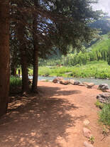 Where we stood in line Friday night for security. Where we stood in line Friday night for security. Telluride has very strict noise ordinance, so the bands are only allowed to play during their allotted times. Though they are a notoriously late band, Panic started playing right on schedule in an attempt to respect their 10 pm cutoff time. Apparently other “spreadnecks” thought the same as John and I, and everyone showed up around the same time. As the first four songs played, we waited in the blocks-long security line. We were not happy at first, but Panic put on such a great show that we forgot how mad we were after finding a spot in the crowd. 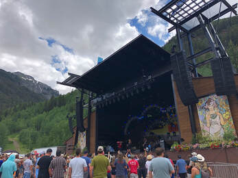 The festival venue is unbelievable. The stage is set up against the mountainside, so we were looking not only at an incredible show but stunning, lush mountains while listening and dancing to really, really good music. Both nights’ sunsets added to the already wonderful ambiance, and when the moon rose on the second night, the whole crowd erupted into howls. The merchandise tents and food vendors were set along the back edge and allowed plenty of space to keep the lines from congesting the venue. Ride Fest allowed us to bring in food, water, and tents, but no alcohol was allowed in. There was plenty of space for families and groups to spread out blankets and sunshades behind the soundboard which also meant plenty of space for dancing and running around. 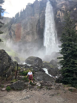 Along with tickets and weekend passes, the festival also sold camping passes. The campground was adjacent to the music venue but required a different wristband to enter. Sadly they were all sold out when we got into town, but John and I walked right in without wristbands on Saturday morning and were able to take a look around the campgrounds. Before the shows on Saturday, we took a lovely hike up to Bridal Veil Falls. This is one of Telluride’s most popular trails, and it leads to Colorado’s tallest free-falling waterfall! It’s about two miles to the base of the waterfall and an additional half mile to the top of it. The entire hike looks down on the town of Telluride, and the views only got better the further up we went. So far, it is one of my favorite hikes in Colorado that is less than 5 miles long. 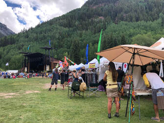 After our hike, we headed into town to grab a bite to eat at The Floradora Saloon. As a lot of other things in Telluride, the “saloon” was very bougie, but we enjoyed our burgers and a few cocktails before heading to the festival. Day two of the festival included other bands such as Temperance Movement and Thunderpussy, but we only went for Big Something and Widespread Panic. This was our second time seeing Big Something and nearly our 10th time seeing Panic. Big Something put on a groovy rock show that put us in the mood for dancing. Their Ewi player, Casey, laid down the funky sounds while the lead singer, Nick, spit some mean rhymes on their more upbeat tracks. 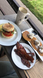 Panic put on one burner of a show. Two hours and fifteen minutes of uninterrupted rock and roll made for one of the best WSP shows I have seen. Late in the show, the lead singer, JB, addressed the audience, “To put it into words, we’re happy to be here.” These words perfectly summed up the atmosphere of the festival and their gratitude for the crowd. At 11 pm sharp, the band wrapped up without an encore thanks to city ordinances. The festival features a series of late night shows around town called Night Ride, but John and I opted out of these free shows to find a place to camp. We woke up a little sore on Sunday from the hiking and dancing we had done the day before and opted not to do any hiking that morning. Instead, we grabbed a bite of breakfast at The Butcher and The Baker (still curious where the candlestick maker is). We enjoyed a wonderful, al fresco meal on the main street of Telluride while talking to other festival goers about the shows we had seen. 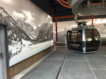 We had noticed that the gondola next to the festival entrance was in operation, so we decided to see where they led and check out some of Telluride’s slopes. Even though there was no skiing, the lifts were crowded with tourists, mountain bikers, and hikers. We got off at the Mountain Village and explored some of the trails and shops before taking a second gondola to Market Plaza. There wasn’t as much to see at the second stop, so we quickly hopped back on to enjoy the views of the ride again. The perspective of the mountains and valley that host Telluride was incredible. We were glad to have gone, and we were even happier that it was free! 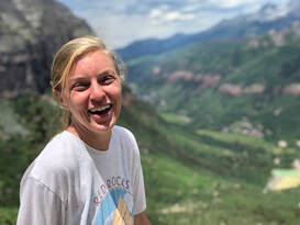 We had never planned on going to the shows on Sunday, but we had a little time to kill before heading back to Denver, so we popped into the festival to catch the last few songs of Dorthy’s performance. The crowd was a bit smaller that early in the afternoon, but everyone was still moving and grooving to the music. When they wrapped up, we decided it was time to wrap up our trip too. Everything from the festival lineup, to the venue, and the town was absolutely perfect. Going to Ride Fest was one of the best day-of decisions I have made in a long time, and I cannot wait until next year or until the next Widespread Panic show. |
Talkin' 'bout Tacos:
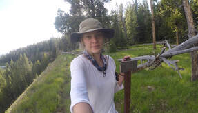
I'm Taylor, aka Tacos! I am sharing my journeys and experiences from across the world hoping to inspire travel and adventure in all who read. Archives
June 2024
|
