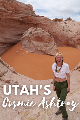
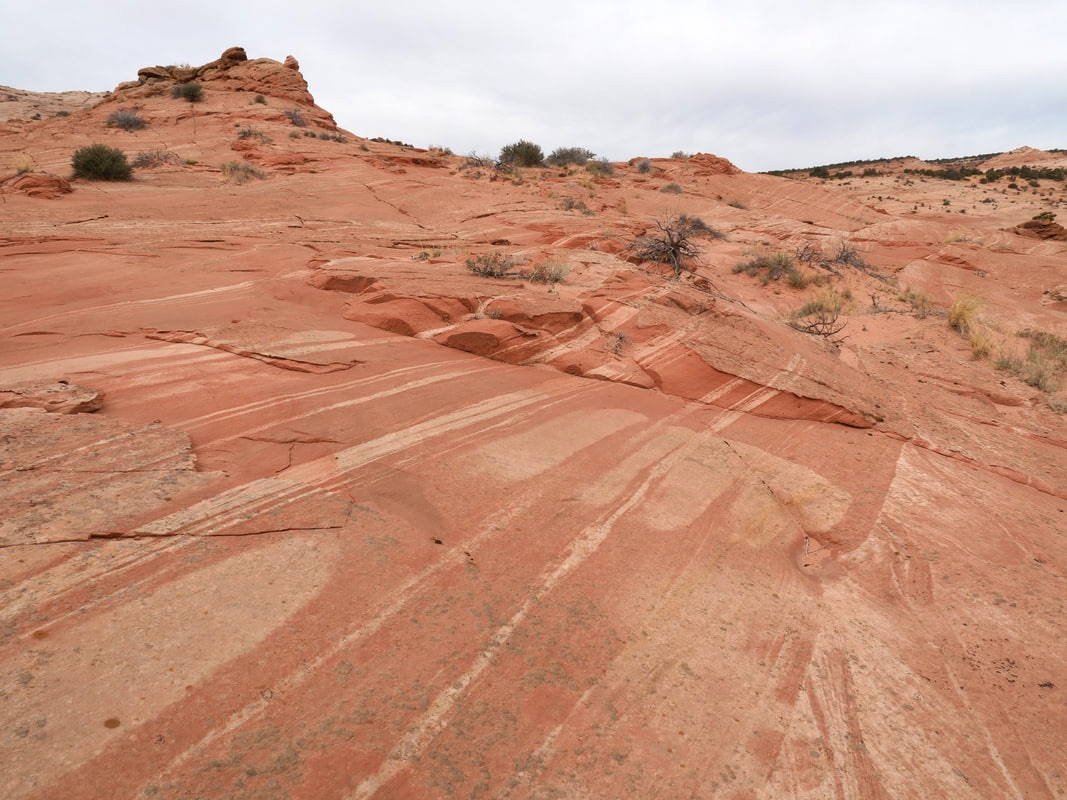
This epic crater is full of finely ground, bright red sand and looks like it’s a scene from another planet. John and I were so excited to get there. Even though our friends told us about it, it was one of the more difficult places for us to find on our trip. The first place we messed up was going to the wrong trailhead. Instead of following our All Trails app which had the directions for the trail to follow, I put The Cosmic Ashtray into my Google Maps GPS and it led us to a spot more North of the crater.  Our campsite the night before we set out on the hike. Luckily, we had cell phone service at this trailhead and were able to look at the map and see there was another path from where we were. Little did we know, there wasn’t much of a trail. Instead, this turned out to be a bit of walking around, up, and over hills, searching for waypoints and our final destination. The rocks were very smooth and mesmerizing. They were created by a layering process of volcanic rocks piling atop each other for millions of years. We walked among them for miles looking out onto the horizon and hundreds of more miles of rocks. We were baffled by the beauty.
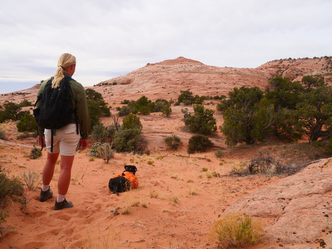
Fortunately, it was a cloudy day, because the trail is extremely exposed with very few trees on hot, desert rocks. *A word of warning: we brought our dog with us, and we eventually had to put shoes on her, because she got very hot on the way back. She also would not have been able to make it out of the ashtray, so we had to take turns holding her back.* 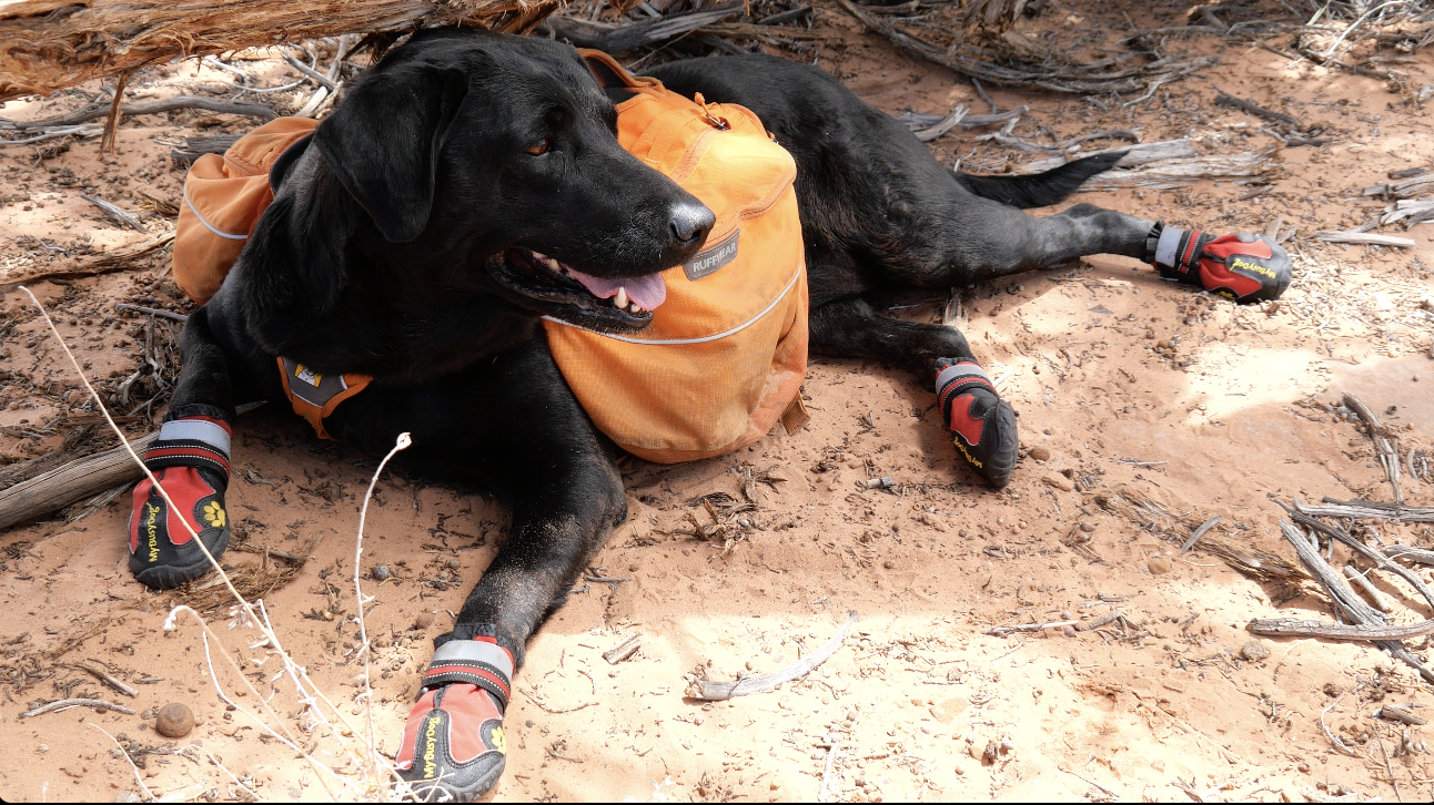 Maria in her My Busy Pet paw protectors. We walked for miles constantly checking our maps to make sure our bearing was correct. We didn’t see anyone the entire time we were wandering which was super cool. Finally, after many, many hills, we arrived at the ashtray about two hours after leaving the trailhead. You can try to follow the same “path” we followed on All Trails here. I recommend downloading the maps and staying LOW at the rock hill bases! When we walked up to the rim of the ashtray, we were welcomed with faces full of sand. Big gusts of wind started shooting sand up at us and pelting us in the face but, boy, was the sight unbelievable. 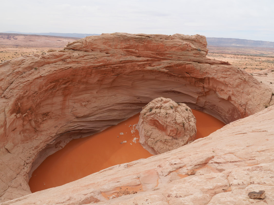 Our first view of the volcano! The crater is gigantic. We had no idea when we walked over the final ridge that we were on the edge of the rim. Then, as we walked over and braced ourselves against the wind, we looked over the rim down onto the pit of bright orange sand. We walked around the rim and meandered our way down into the actual pit itself. It felt as if we were in an otherworldly place. We took turns using the hand holds down onto the sand and running and kicking around in the sand dune. We, of course, got up close and personal with the rock inside the dune, but didn’t stay long because the sand was still relentlessly whirling around. 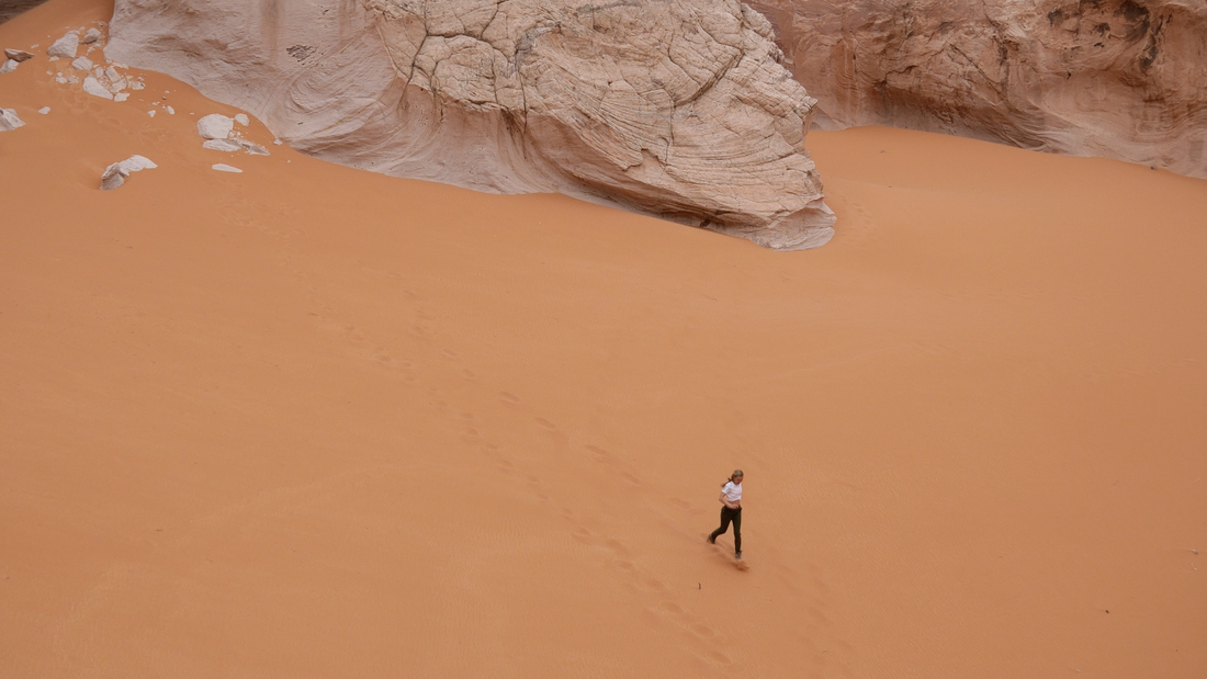 Running from the sand storm. We took pictures and videos, but sadly couldn’t fly our drone because of the wind. We withstood as much as we could of the sand hitting us before we started making the journey back. We were still in wonder of the beautiful surroundings but quickly hiked back, because it started to get hotter as the afternoon went on. After we made it back to the car, we thought about how freaking cool the ashtray had been, and the fact that it was hard to find made it even cooler. We only saw two other couples while we were there! 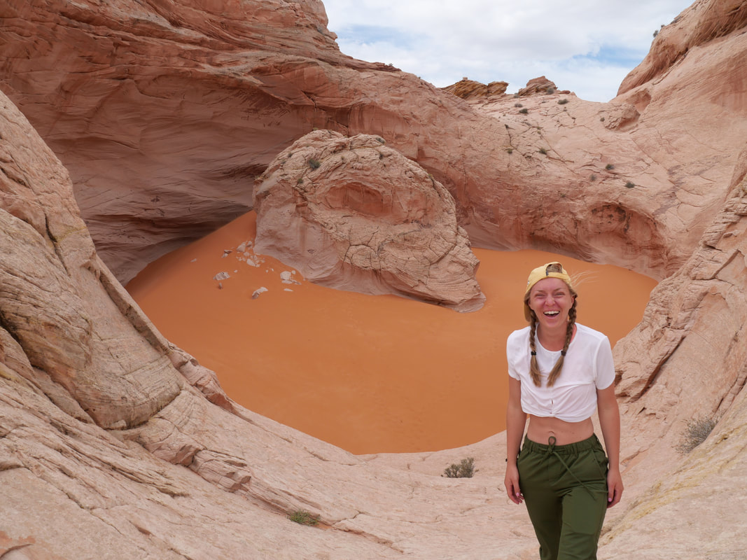 All smiles while being pelted in the face with sand. See more from our entire hike up to The Cosmic Ashtray in my video below! See more from the rest of our Utah Memorial Day Road Trip!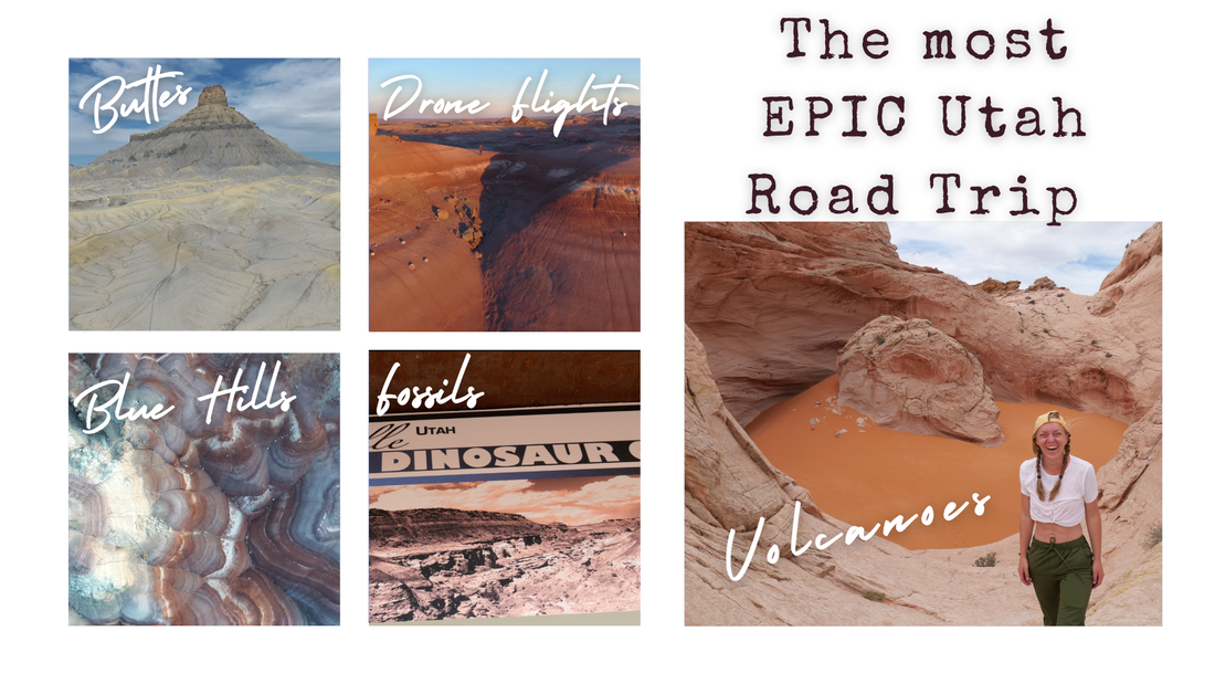
2 Comments
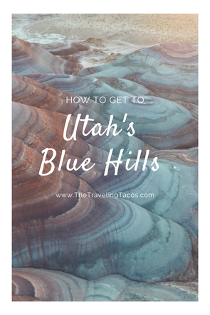
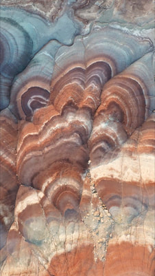
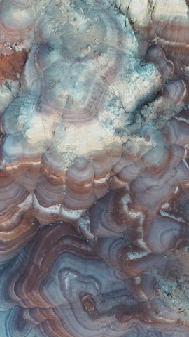
We arrived in the very small town right before sunset. Initially, we were going to camp somewhere away from the blue hills, but since it was still light out, we decided to scope a spot and set up camp nearby before it got too late. We drove the crazy long yet decently maintained dirt road up to what we thought would be our destination. We weren’t completely certain what we were looking for or if we were looking in the “best” area. We put The Mars Desert Research Station into our Google Maps and quickly started exploring. 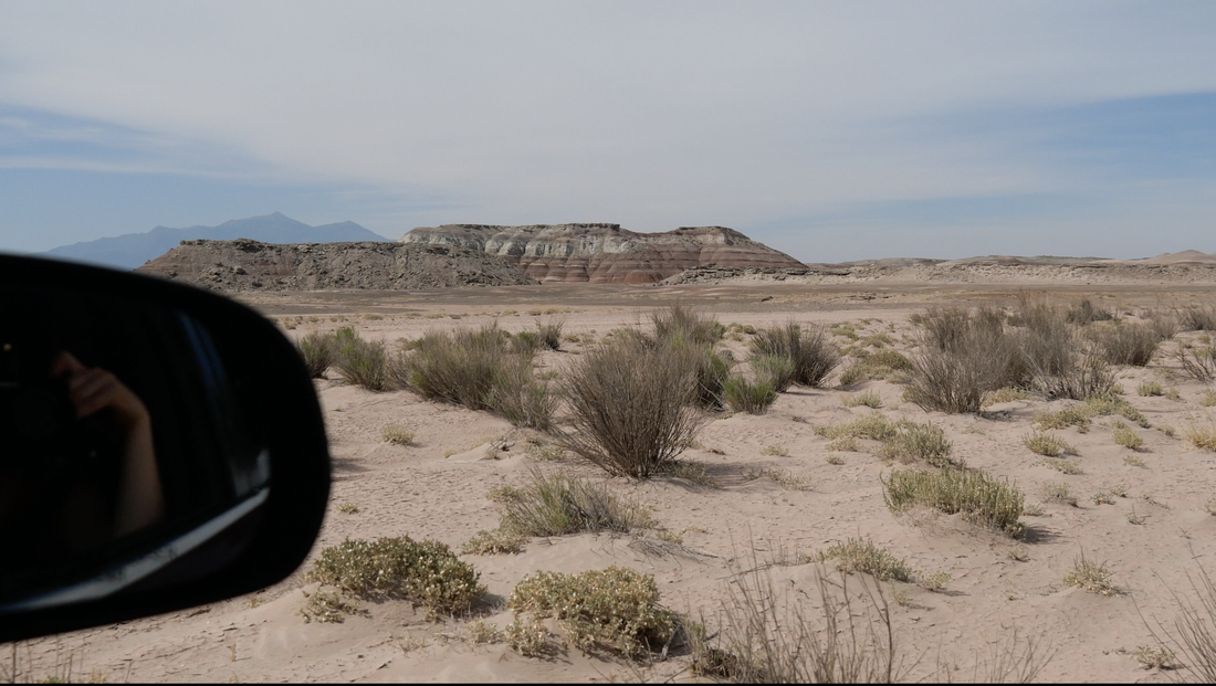 The road up to the hills was a sandy, rocky, dirt road. We pulled up to the first spot where we noticed the rainbow-colored hills. There was a car there, so we were hesitant to park and kept driving. We did a bit more driving and searching, actually a lot more driving and scoping, before eventually circling back and parking where the only other car was for miles. We parked on the opposite side of the bentonite formations and quickly grabbed our camera gear and drone. We were in a bit of a hurry to make it up the hills, because the sun was setting quickly. 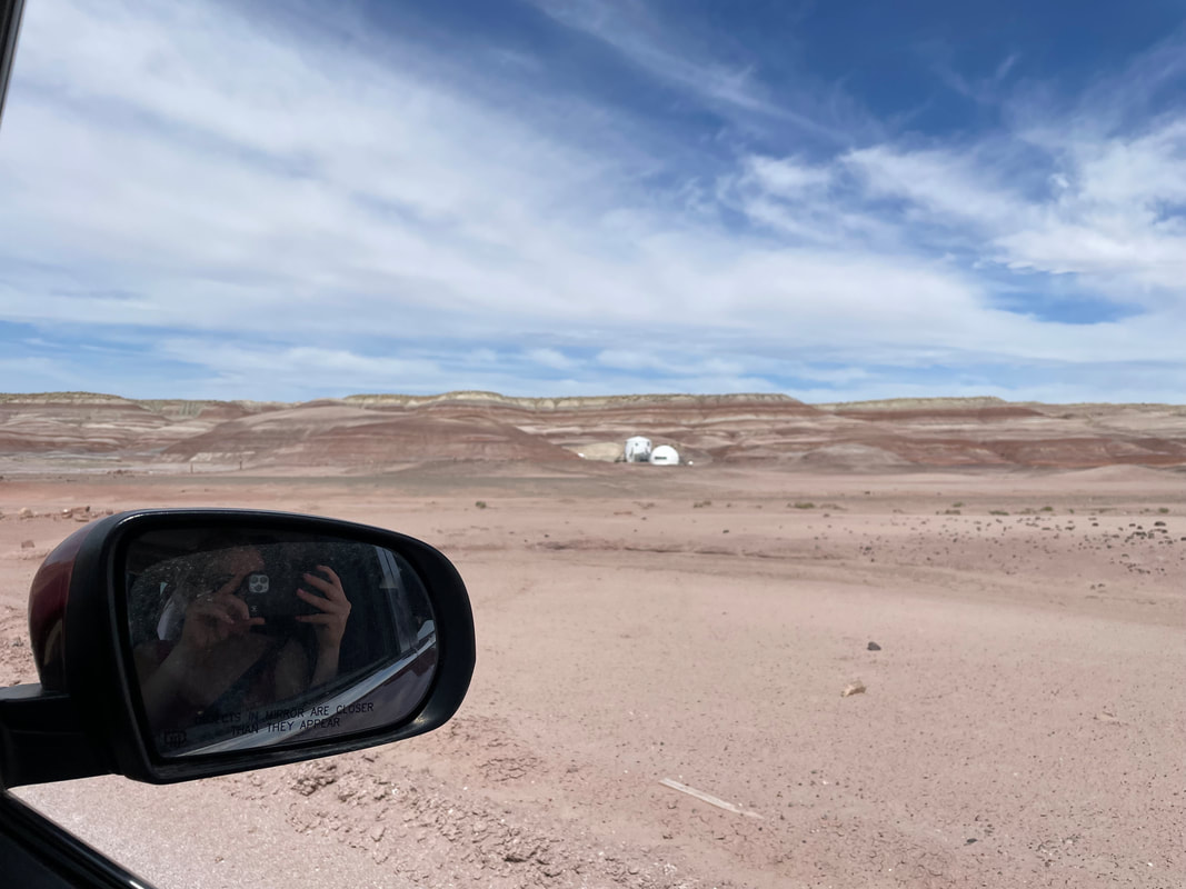 The best place to put into your GPS is the Mars Desert Research Station. CLICK TO SEE! We arrived during what photographers call “the blue hours”. An hour before sunrise and an hour after sunset, the blue and purple hues appear more intense on these stratified domes. We arrived just in time. We were able to hike up the hills, send our drone out, and scope out the entire landscape before it got too dark. It was an unbelievable sight.  The view of the blue hills from our drone. The next morning, we woke up in the pitch black predawn and got ready to catch the “Blue Hour” before sunrise. As soon as the sun broke over the horizon, we sent up the drone. We didn’t think it was possible after reviewing the footage from the night before, but the sunrise videos were much more colorful! 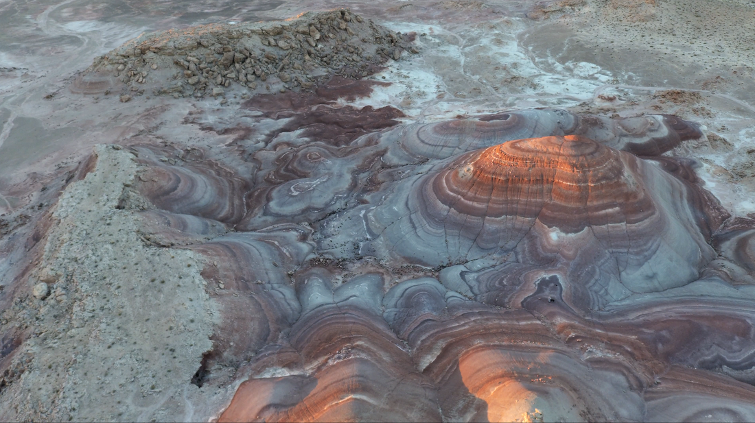 A different side of the bentonite hills. We spent as long as we could hiking around, staring out over the horizon, and gawking at the magical landscape laid out in front of us. When the sun actually rose over the horizon, we packed up our gear. The sun really washes out the colors of the blue and purple when the reds and oranges are brought out by the warmth of the sun.
We had so much more to keep exploring on our road trip - and his was just our first stop! See more from our entire road trip around Utah in my blog post and videos here.
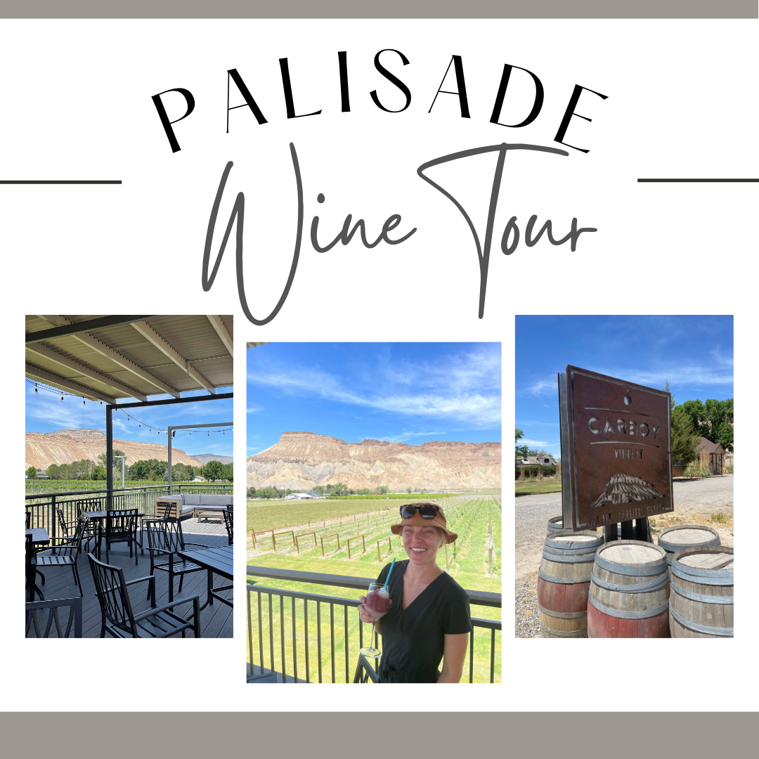
Palisade is most famous for its peaches, but we came for it's second most popularly produced item - its wine. To celebrate the town’s history of farming, The Fruit and Wine Byway was created and dedicated to help visitors learn more about the local farms and see where things are grown and purchase goods to help support the local businesses. 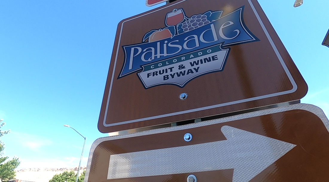 The Fruit and Wine Byway is a 25-mile road featuring over 25 wineries/vineyards and nearly 20 farms and farm stands. There are many ways to traverse The Fruit and Wine Byway. You can travel by car, by bike, by segway, or even by horse! You can read all the ways you can tour through Palisade on The Visit Palisade website here! We chose to bike just a small portion of the byway June 10th, 2022. Watch our video from the mini-winery tour in my YouTube video below! Where to Rent Bikes:
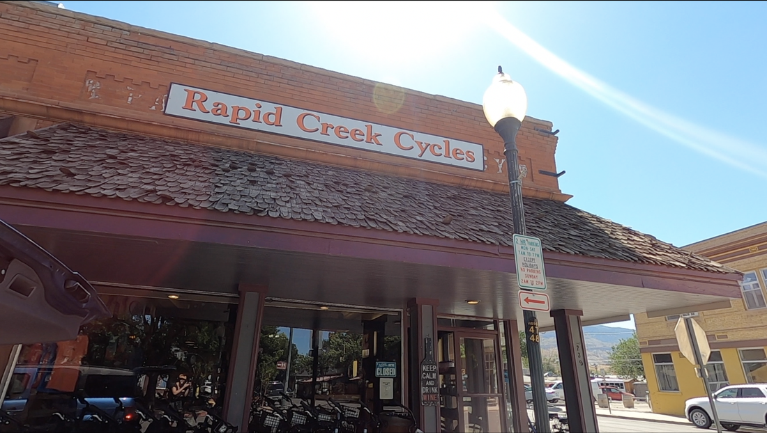
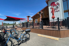
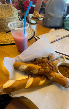
Regular or E-Bike? When I walked into Rapid Creek Cycles, I was asked if I wanted a standard bike or an electric bike (e-bike). I asked the manager to help me choose, and we looked at the map to determine distance and other things. My friends all brought their own bikes, and the e-bike would have me going a bit faster than the group, but they were already out at a winery nearly two miles from the cycle shop, so we decided I should get the e-bike to catch up to them as quickly as I could. 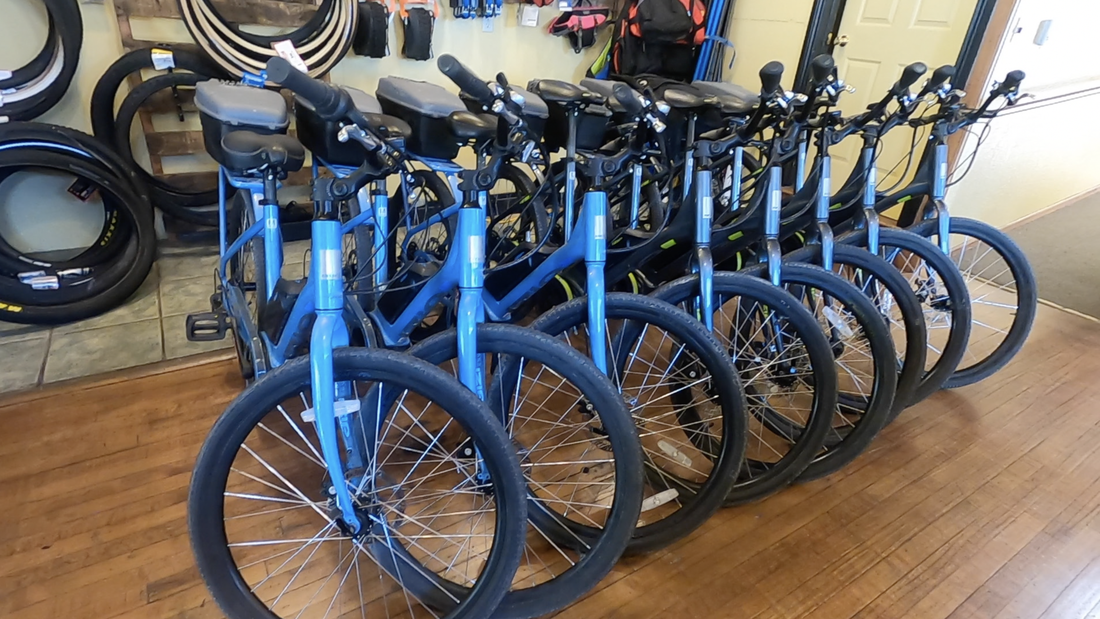 Rapid Creek's E-Bikes. There was a very big price difference. The e-bike cost nearly double for the day, so talk with the sales rep before deciding. Mine was super helpful in recommending the best wineries to stop at too. Check the Weather Before You Go! Palisade gets HOT in the summer. The dry, desert landscape frequently reaches above 100 degrees June through August. It is recommended to tour Palisade September through November or March through May. We went in June, and it was upwards of 90 degrees the day we rode around, so we made sure to carry lots of water and keep hydrated and out of the sun as much as we could. 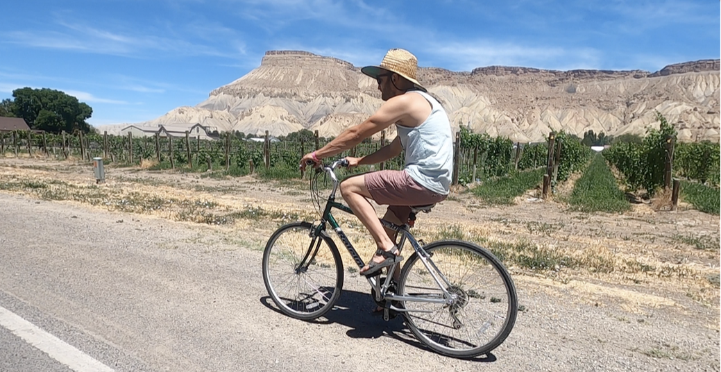 Riding down the Fruit and Wine Byway! Route Recommendations: The Fruit and Wine Byway is 25 miles long, and that is a hefty distance to do on a bike in a day with over 40+ stops. Take a section of the map and try to accomplish everything in one area to save energy and allow yourself to see as much as you can at once. We chose to do some of the North / Downtown route because of its proximity to the bike rental shop and the campground where we were staying. North of the River: The Byway can be divided into two sections: north of the river and south of the river. North of the river includes downtown Palisade and is a more closely grouped collection of taste rooms and farm stands. South of the River: The section south of the river is much further spread apart. Down on this side, the byway actually passes by full vineyards and farms. It takes longer to get between them, since you have to go through acres and acres of farmland. 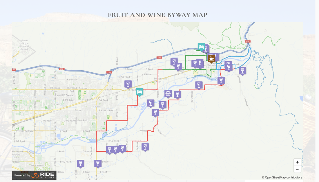 Here is how we spent our day on The Palisade Fruit and Wine Byway! Red Fox CellarsOur first stop was at Red Fox Cellars. Strangely, when I met my friends here, they weren’t drinking wine. Instead, they were sipping on a flight on ciders trying flavors from peach, orange creamsicle, cucumber & citrus, to roasted Chile. Each was very interesting. We tried the entire menu of ciders and agreed we liked the orange creamsicle and peach the best.
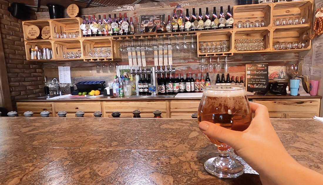
Maison La Belle Vie
We ordered sandwiches, sausage and cheese platters, and lots of drinks. See their menu and lists of wines on their website here!
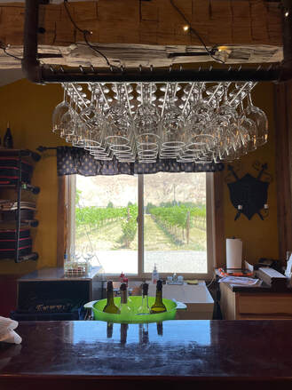
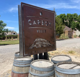
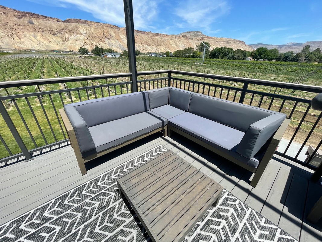
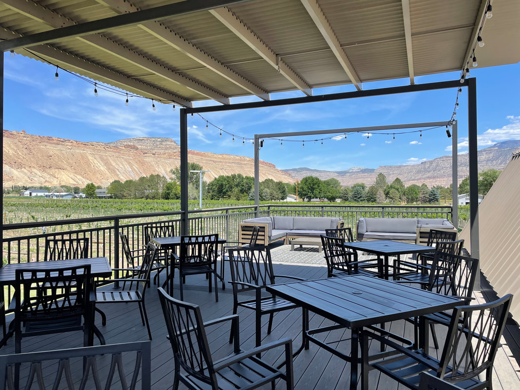
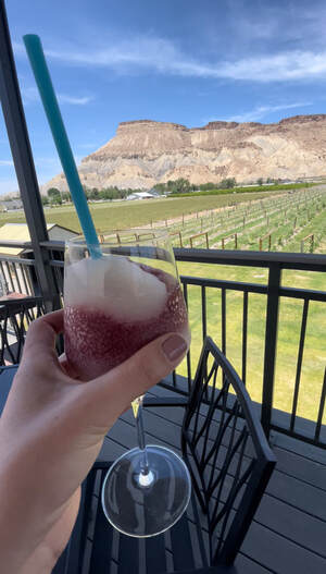
Carboy Winery
Again, we ordered some frozen drinks. This time, we ordered a peach flavor mixed with sangria, and some others tried their Albariño and Sauvignon Blanc. View their menu, beautiful tasting room space, and their Airbnb property on their website here!
Palisade Brewing CompanyFor our next stop, we were trying to go to The Ordinary Fellow but ended up on the wrong side of the fence and went inside Palisade Brewing Company instead. Their menu was full of different IPAs, lagers, and blondes. Check out their rotating menu here! 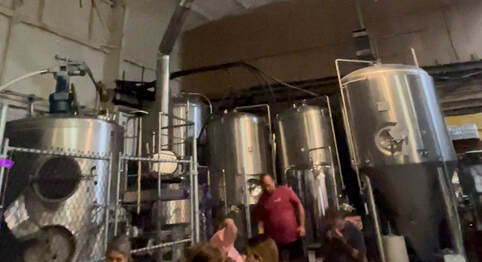 Inside Palisade Brewing Company. Little did we know, Palisade Brewing Company would be our last stop. It seems that the switch of alcohol types might not have been the best idea and made us a bit sleepy. We talked about a few more places but sadly never made it anywhere after our beers. Here are the other places we had on our list to visit: Colterris Winery This was recommended to us multiple times as having the best views in Palisade. It was on the other side of town right along the river, but we didn’t make it that far east. See their website here! 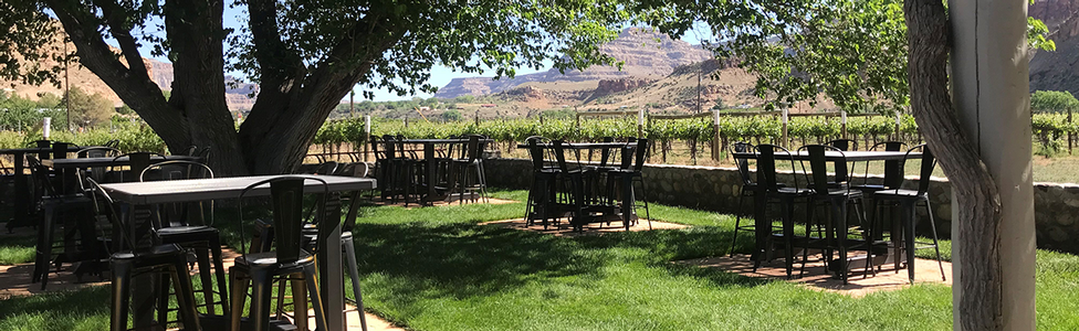 Photo from Colterris.com Varaison Vineyards & Winery Near Palisade Brewing, this cute little house seemed to have a nice patio in the back with lights perfect for a sunset sip. Sadly, we only drove past it and never stopped in. See this quaint place for yourself here. Talon Wines at the Meadery We passed this one several times going in and out of town, since it's located on the main road into town, Highway 6. We were intrigued by the meadery part of the name, but never went to check it out. Maybe next time! See their website here. Plum Creek Cellars Another spot on Highway 6 was Plum Creek Cellars. It looked like another cute home-style winery. See their website to learn more here.
Clearly, we still have much more to see and try on The Fruit and Wine Byway, but what we did do and see in Palisade was so much fun that we cannot wait to come back again and again to eventually visit each location. We rode back to our campsites happy and reveling in the gorgeous scenery around us and the incredible day we had all had together. Watch more from our entire visit to Palisade in my YouTube video below! Read some of my other Colorado travel guides:
|
Talkin' 'bout Tacos:
I'm Taylor, aka Tacos! I am sharing my journeys and experiences from across the world, hoping to inspire travel and adventure in all who read! Archives
July 2024
|