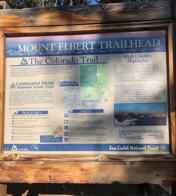
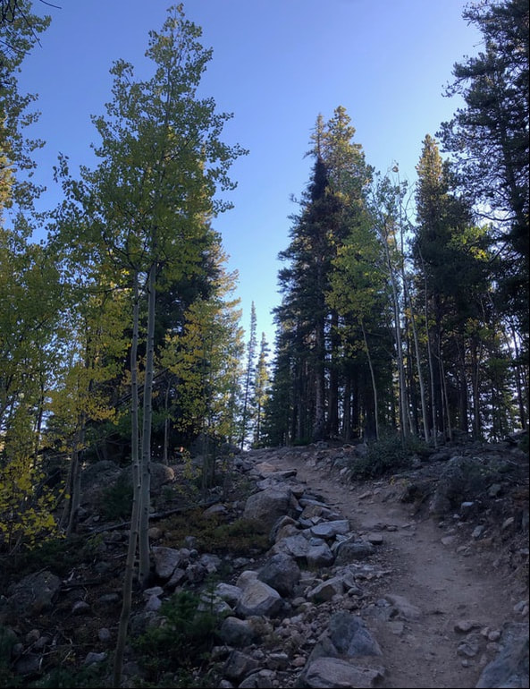
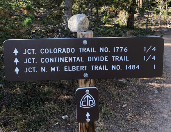
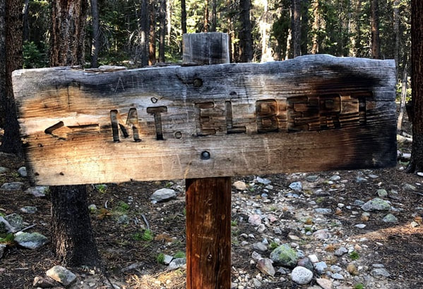
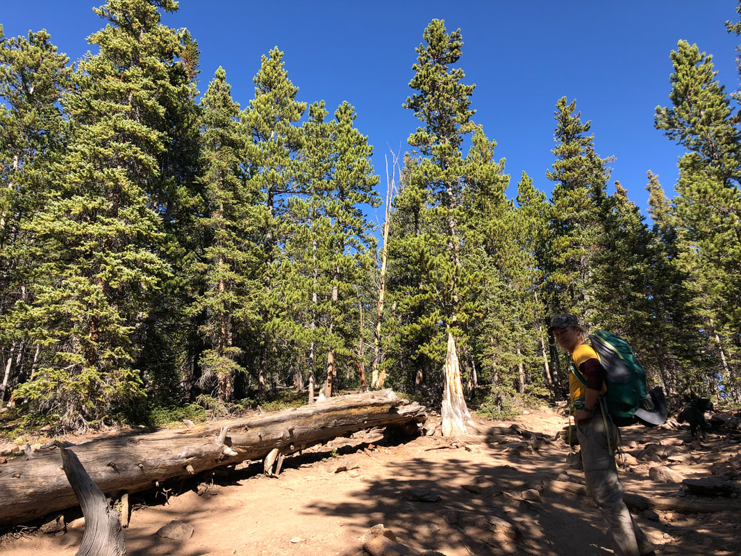
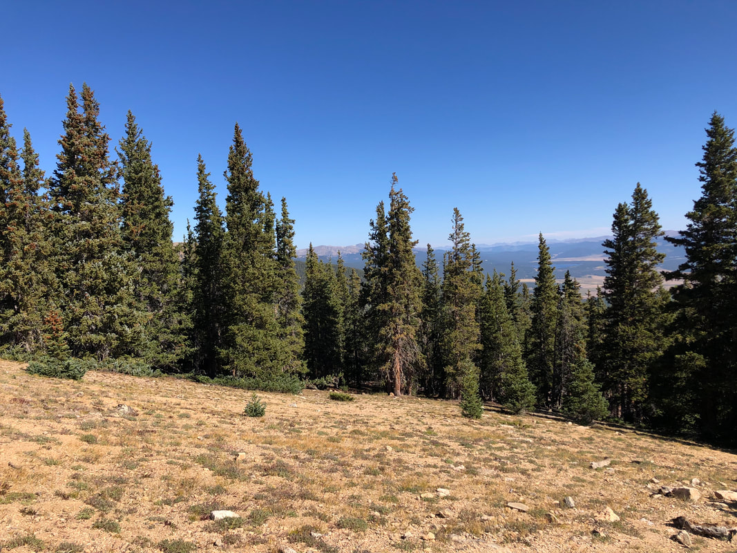
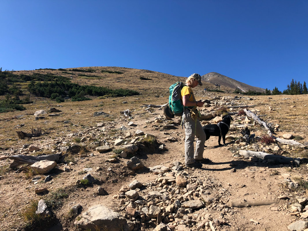
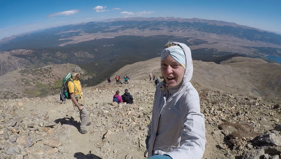
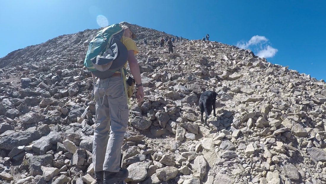
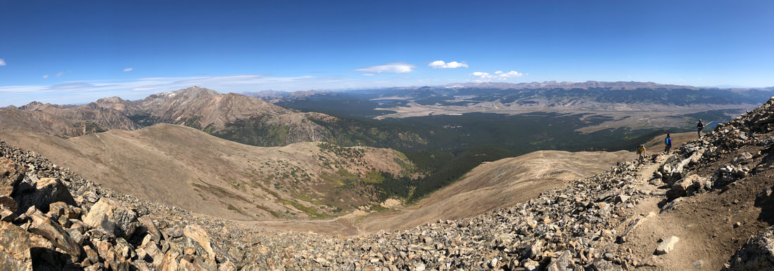
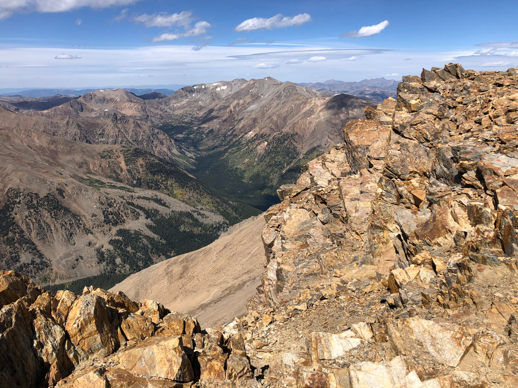
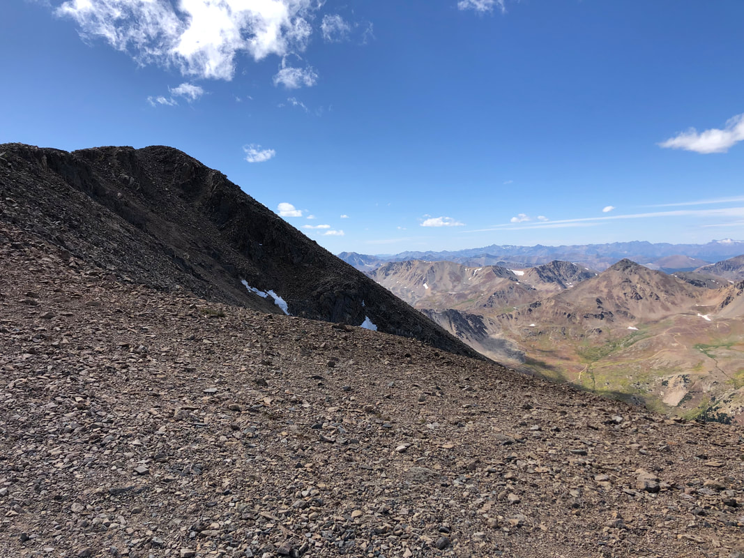
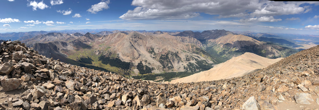
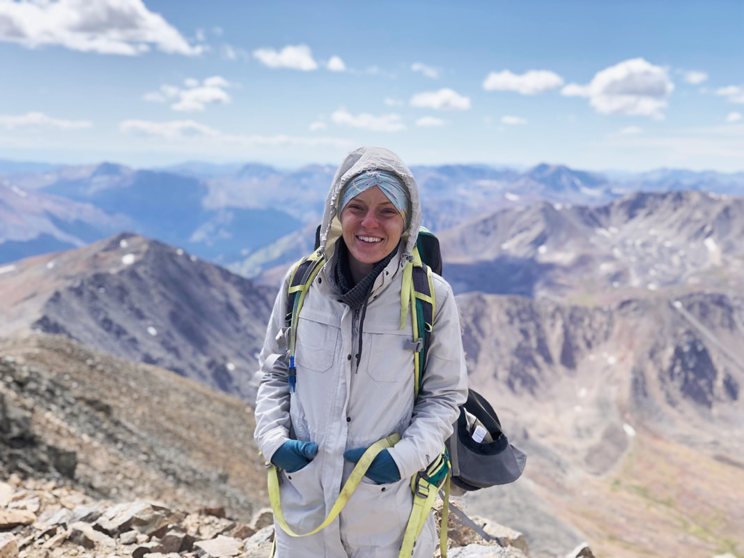
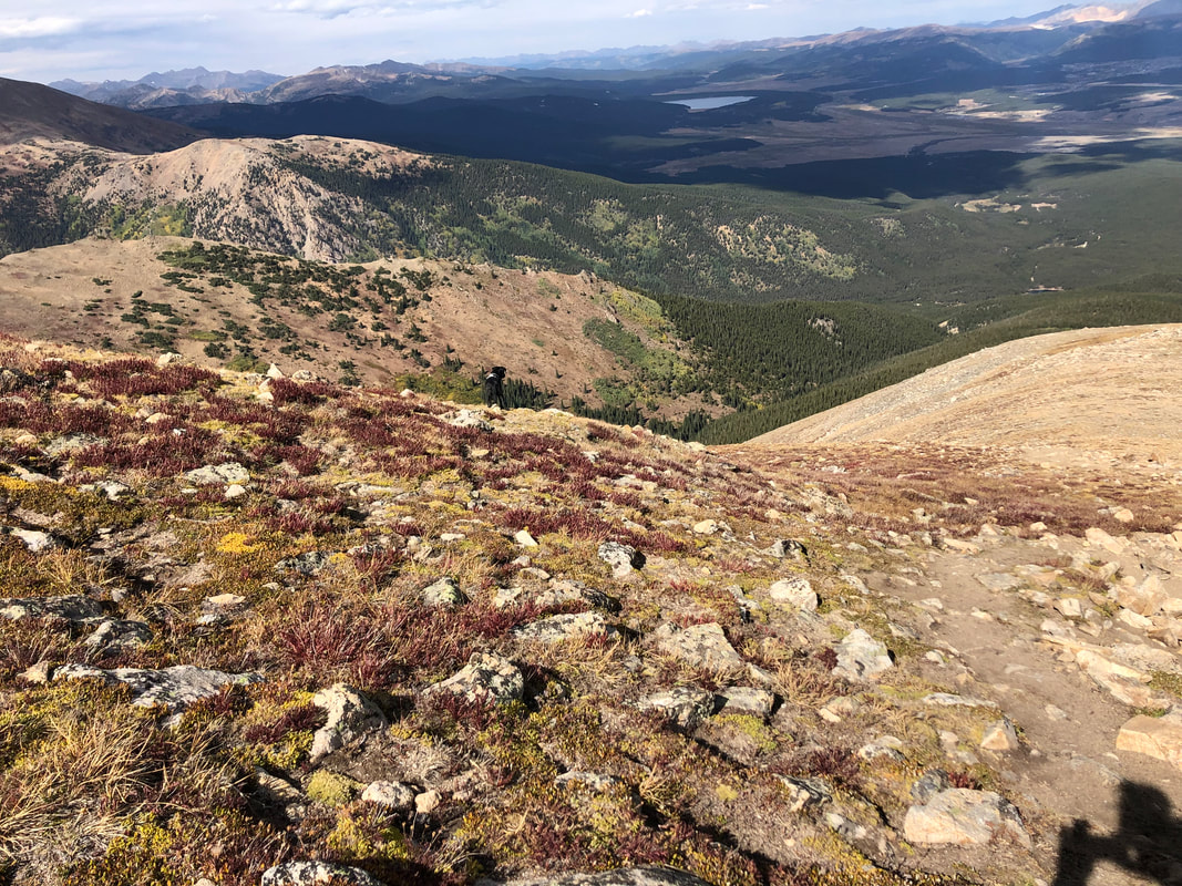
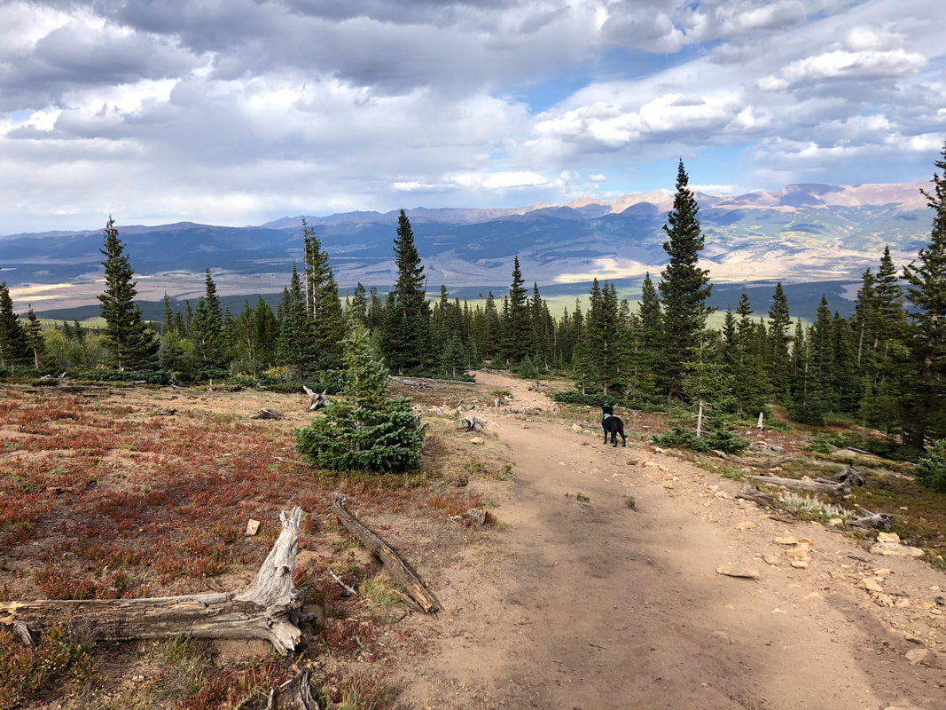
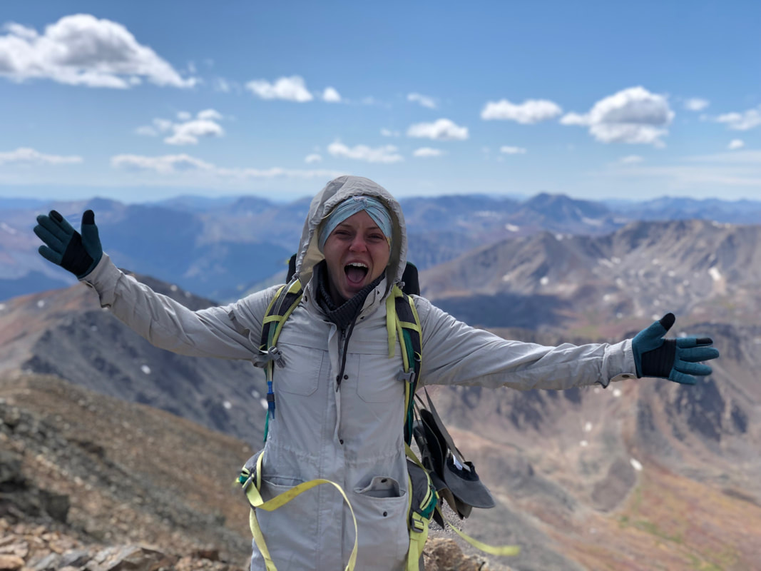
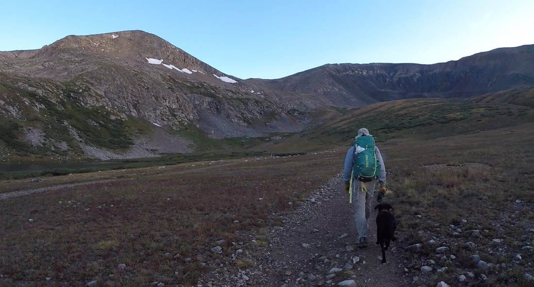
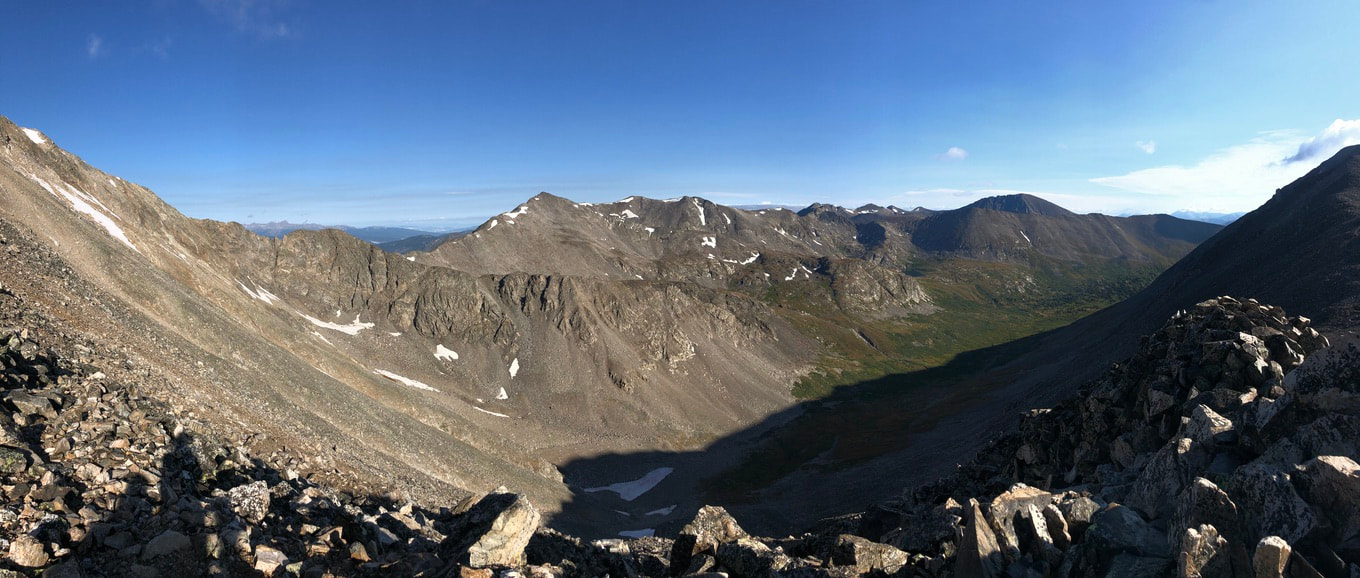
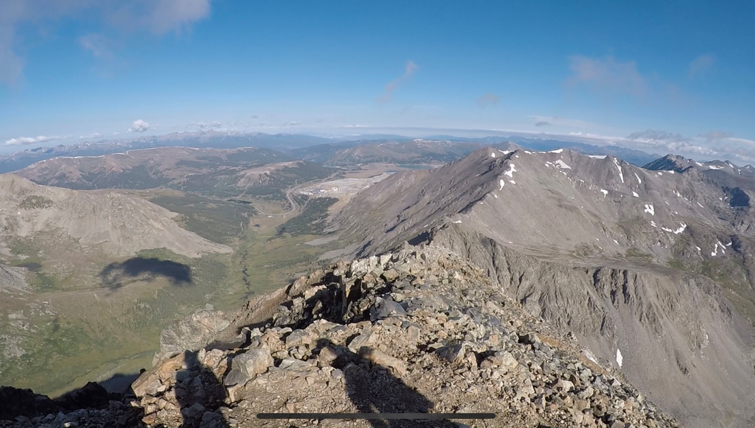
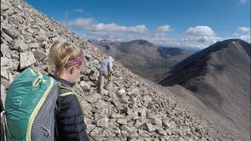
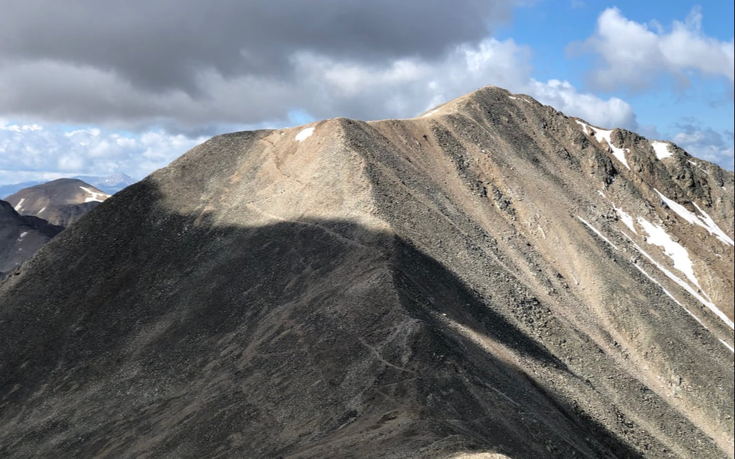
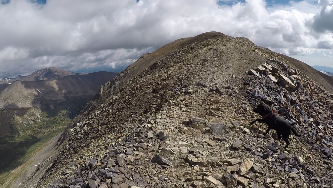
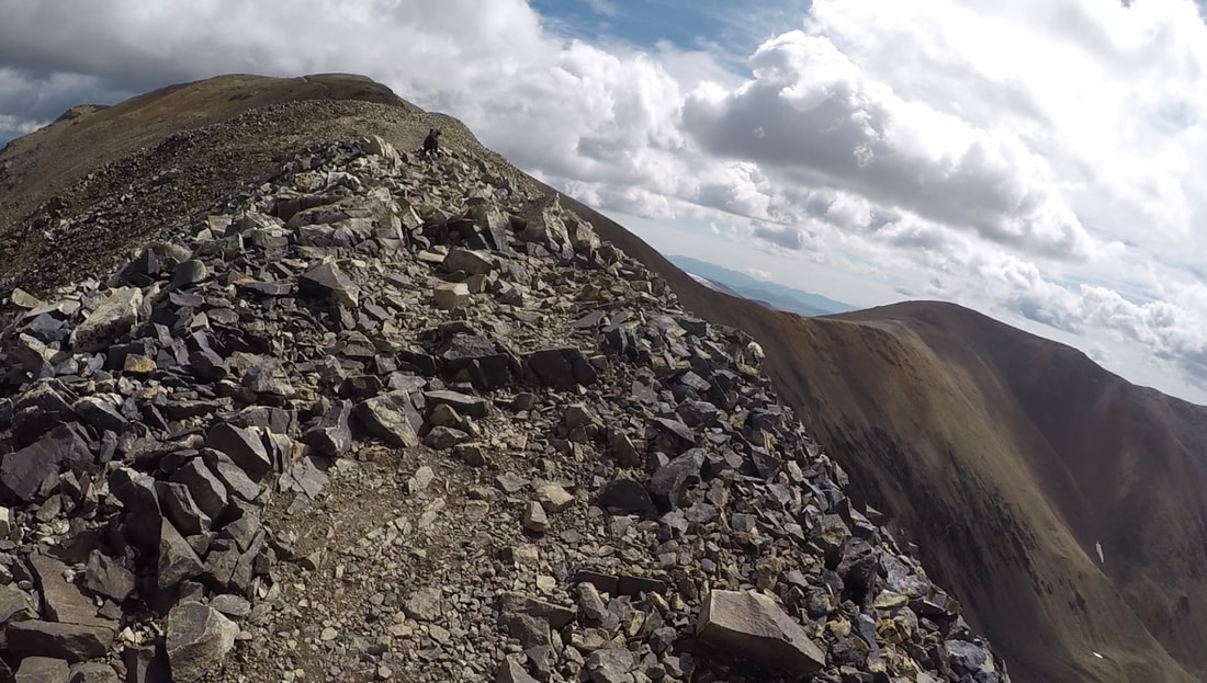
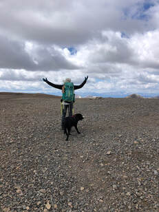
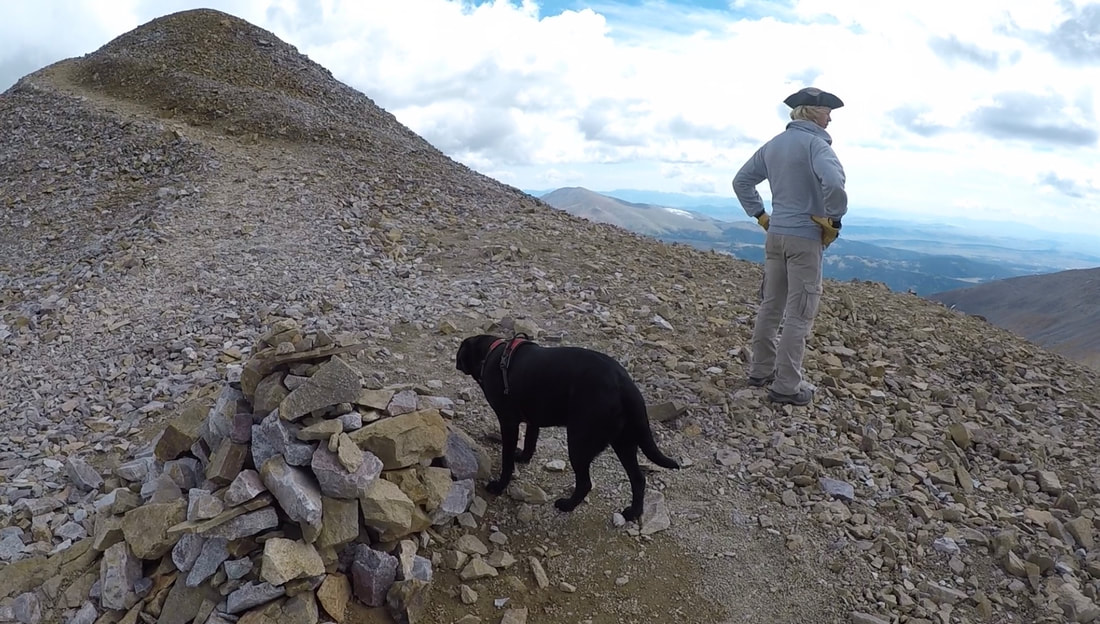
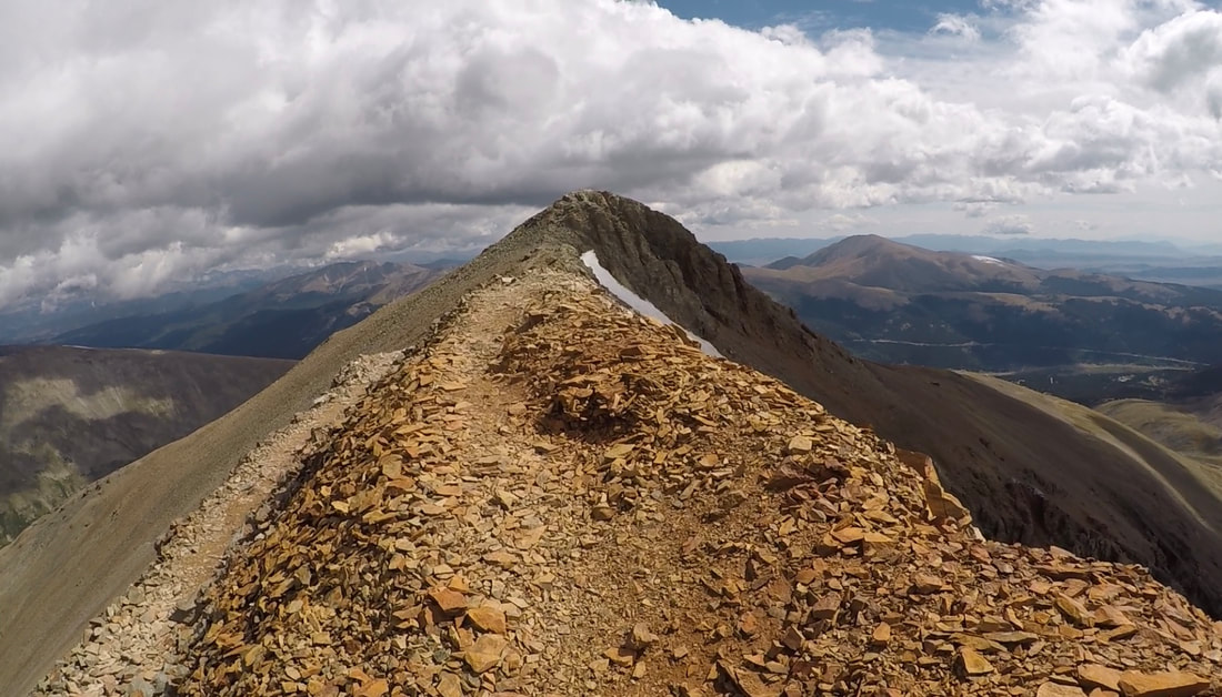
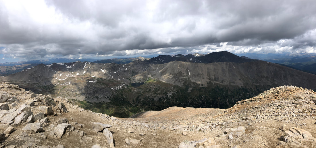
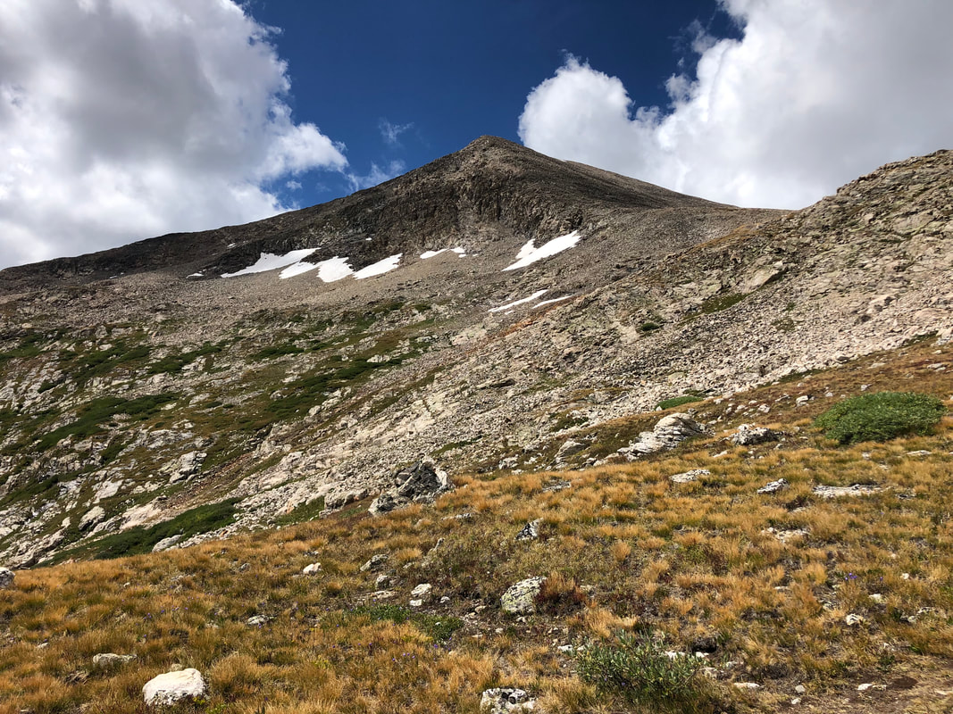
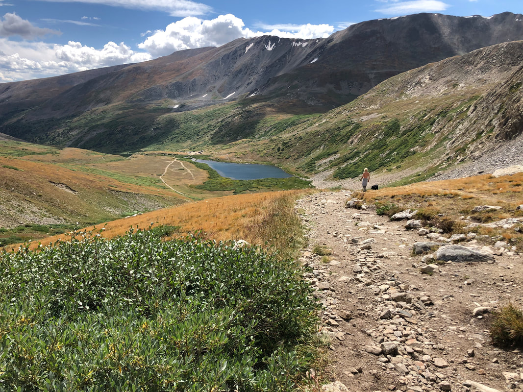
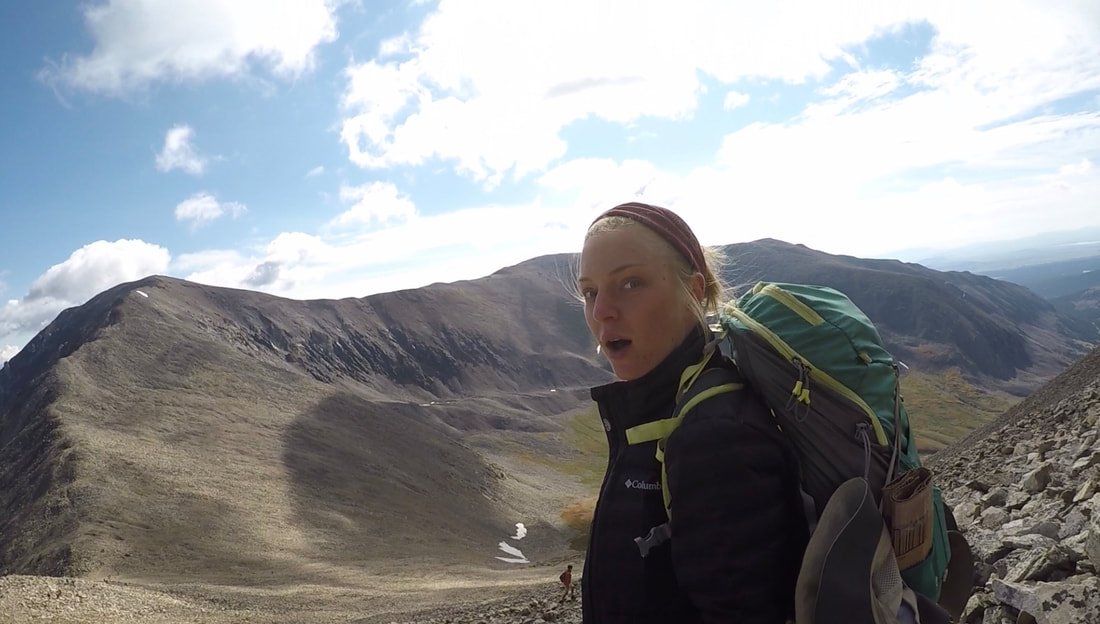
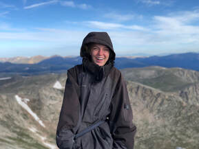
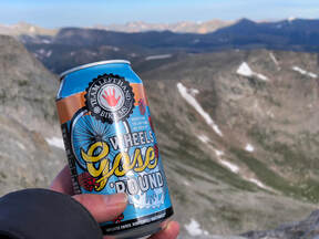
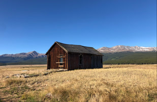
 Leadville, Colorado, is a historic mining town nestled in the valley between the Mosquito and Sawatch mountain ranges. This bowl of mountains is home to three peaks over 14,000 feet including Colorado’s tallest peak and the second tallest mountain in the contiguous United States, Mount Elbert. 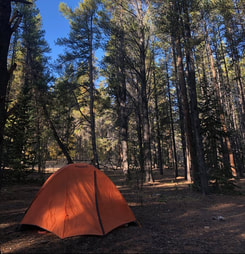 During the third weekend in September, John and I set out to summit this behemoth. We arrived in town Friday night after leaving Denver around 6 p.m. Luckily, we managed to snag the last spot at the Elbert Creek Campground which happened to be the campground closest to the trailhead too. By 10 p.m., we were in our sleeping bags and ready to get a good night’s sleep. 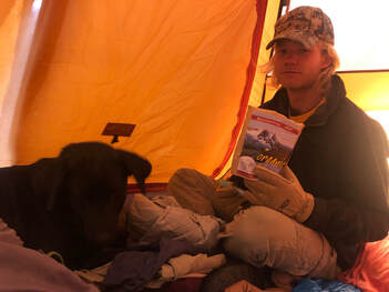 We woke the next morning around 6 a.m. freezing cold and quite hungry. John cooked breakfast while I struggled to leave my warm cocoon. Eventually, we ate our delicious Mary Jane’s Farm Hot & Creamy Cereal and packed up our gear for the day. (We love our MJ meals, and if you want to read about how we chose this dehydrated brand, you can see our comparisons here!) We were at the trailhead right after 8:30 and ready to head deep into the woods to start our hike. Thick, tall pine trees surrounded us over the course of the first few miles of our hike. We crossed over a small, rushing creek at the beginning of the hike before the trail became a red dirt path surrounded by trees and a steady climb up. It took us roughly two hours to breach the tree line which was nearly three miles into the trail and almost 2,000 feet higher than the trailhead. From here, we were finally able to see the peak we were trying to reach. 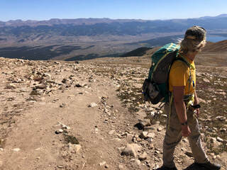 Going up the mountain was a tad bit daunting, but when we turned around, the views were worth all of it. We were able to see not only the wilderness we had just emerged from but also the surrounding mountain ranges just emerging over the tops of the trees. For the next mile or so, we walked with this incredible view at our backs as we followed the steep trail up the mountain. The trail had changed drastically since we left the pines. We went from a red clay trail and warm but shady, wooded area to a wide open, windy, and scree-filled climb. This was one of the most difficult parts of the trail. There were no switchbacks or even places to stop and catch our breath. Instead, for almost 1,000 feet of elevation gain, we had to push through and keep our heads up. 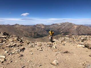 When we arrived at the top of the hill we’d been hiking toward, which sadly turned out not to be the summit, we were greeted with unbelievable views. We were able to look back on all of the ground we had covered and now could see a new mountain range that had been hidden from sight. We were finally surrounded by mountains -- beautiful mountains, I might add. This is one of my favorite feelings in the world. There is nothing like being able to spin all the way around and see nothing but rolling mountains for miles and miles on the horizon. 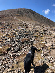 The trail, from here, winds through a large boulder field and climbs the northern face of the mountain. It led us to one more false summit with a nice, open spot and directional cairn before the final ascent. From this cairn, there were only about 15 minutes left in our journey. We could finally see the real summit, and we couldn’t wait to get there. 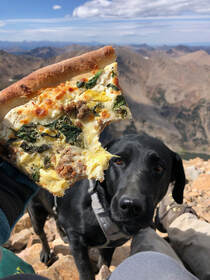 It was around 1:30 p.m. when we arrived at the summit. After the over-four-hour long trip up, we were starving and a bit tired. There were a group of bikers hanging out, but they left within a few minutes of our arrival. We found a rocky spot that shielded some of the wind and sat down to enjoy the views and some pizza for a long while. For almost the entire 30-minutes we were snuggled up in the rocks with the peak to ourselves. When others started to show up and we got chilly, we took our summit photos and headed back down. 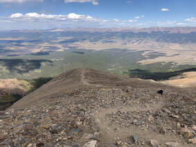 The upper trail’s lack of switchbacks made the trip down very rough on our knees. Eventually, we entered back into the wooded area for the last two or three miles. This part felt much longer than our trip through it earlier that morning, but it eventually led us to the end of the trail. 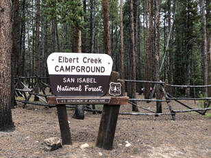 The hike back down wasn’t as difficult as the hike up, but somehow, without any stops, it took us the same amount of time to get back to the trailhead. We arrived back at the trailhead, and our campsite, around 5:45 p.m. After over 9 hours of hiking, we were exhausted yet proud of what we had accomplished. We had just climbed Colorado’s tallest peak and marked 14’er #7 off our 2019 list!
0 Comments
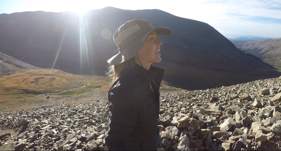
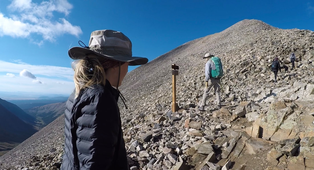
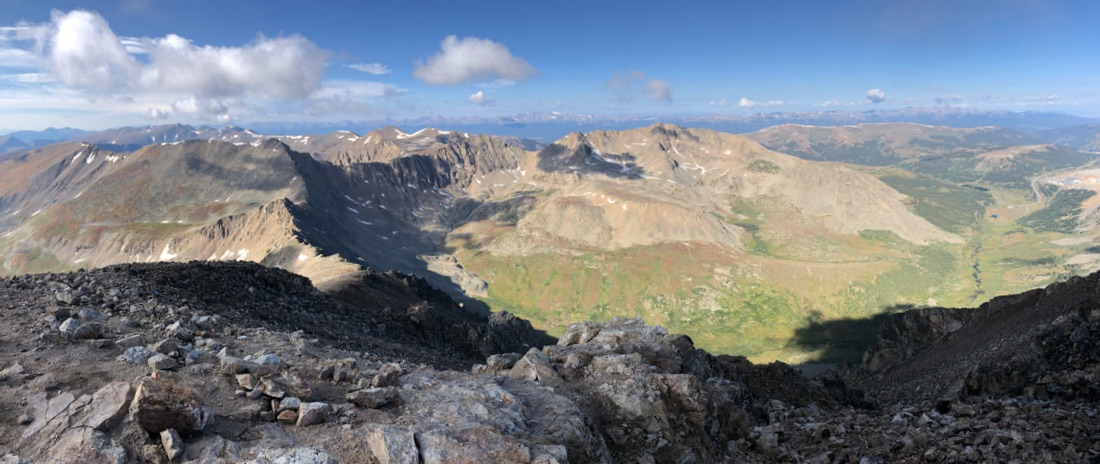
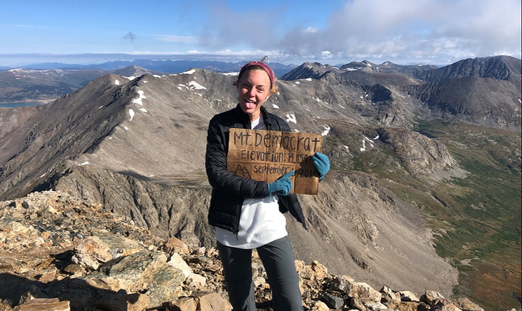
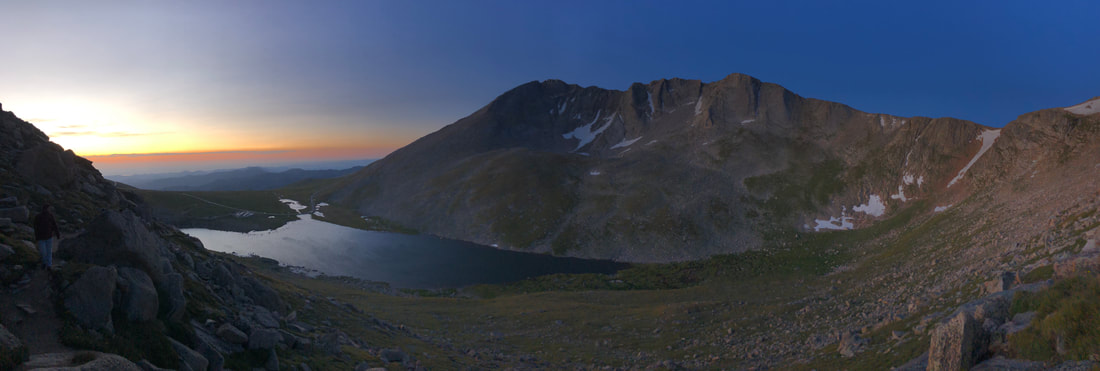
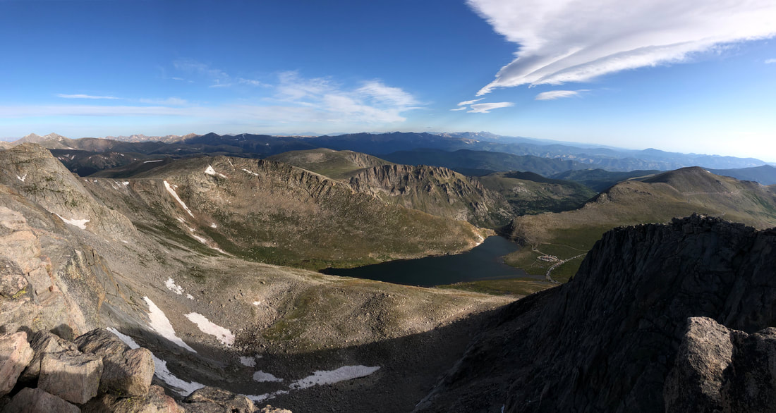
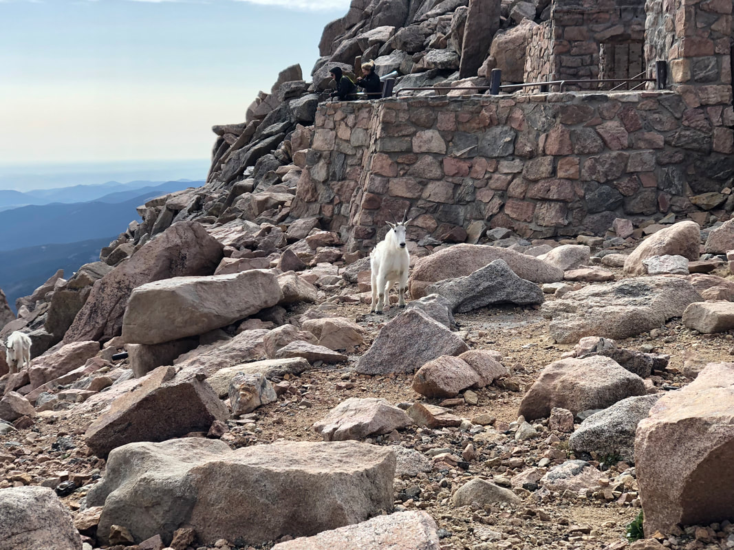
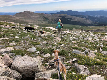
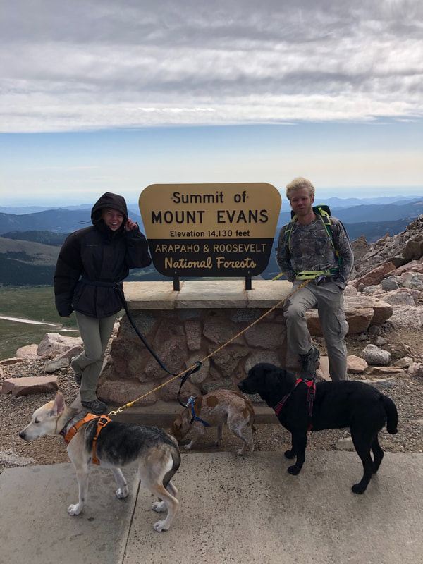
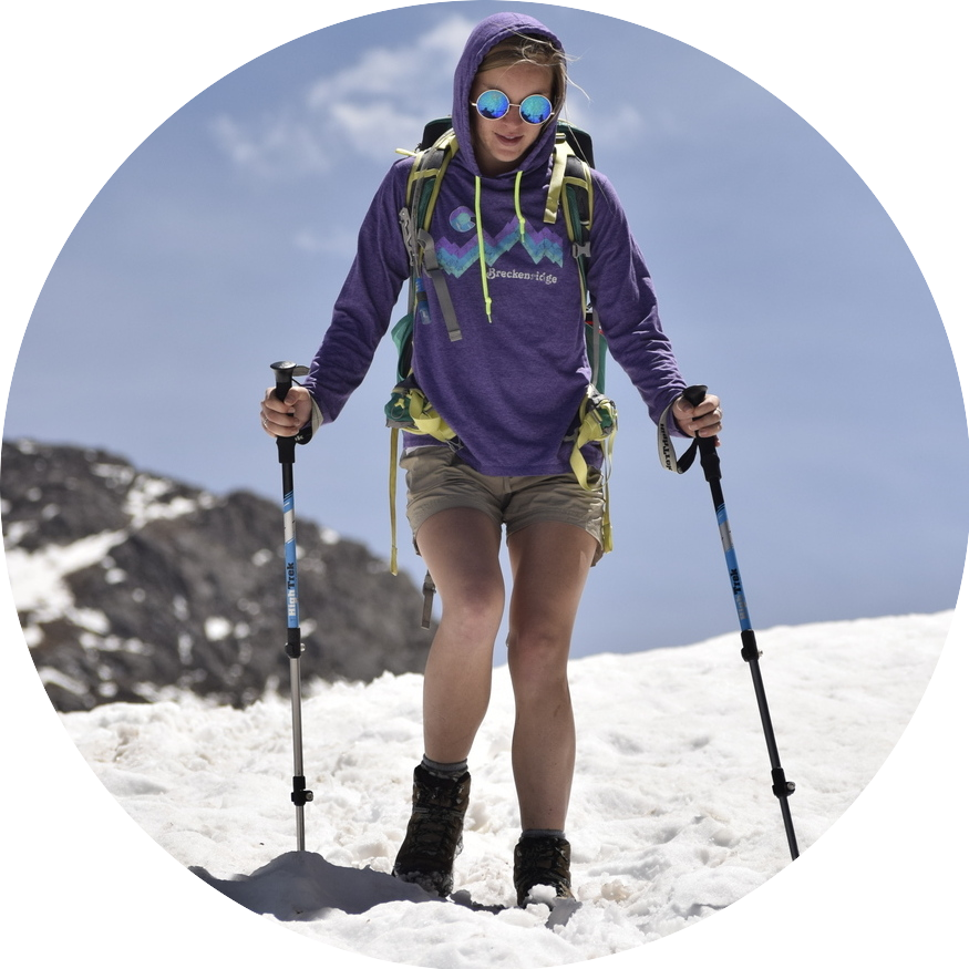
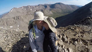 14’ers are starting to become routine for John and I. Almost every weekend, we pack up and head out to climb another one of Colorado’s mountains. The first weekend in September, we set out to hike the DeCaLiBron loop which summits Mount Democrat, Mount Lincoln, Mount Cameron, and Mount Bross. 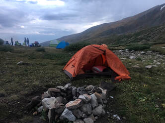 We left Denver around 4 p.m. Friday afternoon and arrived at the Kit Lake Campground around 7. We had just enough time to set up our tent and get settled in for the night, before an evening thunderstorm rolled in. We sat in our tent and ate some snacks while the rain whipped our polyester shelter. When we were full and certain the rain wouldn’t let up, we called it an early night and got into our sleeping bags. The rain continued into the night, and when our alarm went off at 4 a.m., it was still coming down. We decided to pack up our things inside the tent and prepare for the day with hopes that it would stop shortly. When it didn’t, we went back to sleep until 6:30. 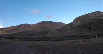 We woke up to the sun rising over the horizon, so we knew it was clear enough for us to get started. Even though the sun was out, it didn’t crest over the mountains until after 7:45, and it made the beginning of our trek just a tad chillier. By that time we had left our tent where it was, grabbed our pack, and been on the trail for 30 minutes. 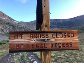 We decided to go clockwise and summit Mount Democrat first. We had heard that Mount Bross has a lot of loose scree that makes the hike more difficult, so we figured that, with our late start, we should go with the easier route. Plus, there were signs saying Bross’s peak was closed, and we didn’t have time to take any risks. The Democrat trail starts on the east side of Kite Lake and heads north cutting a path through a lush valley. For the first mile or so, the trail makes a steady but subtle incline. The valley was full of blooming bluebells, but the mountainside grass was starting to show some of its orange, fall colors. Once we’d left the lake, we followed a small and swiftly flowing stream. 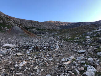 The valley quickly turned into a steep, rocky boulder field. Until we reached the saddle, the trail was intertwined with large rock scrambles and sharp switchbacks. Sometimes, we had to climb over feet-tall rocks, and other times, the trail was large enough for us to walk side by side. Either way, the trail was always easy to find thanks to rock cairns and other people climbing up. When we made it up to the saddle, we were blown away by the view and nearly by the wind. The whole hour climb up, we had no idea what had been waiting for us on the other side of the mountains. The view opened up, and we looked down on The Pike National Forest’s Clinton, McNamee and Traver Peaks inside a vast mountain range. From here, we took a left and began out summit of Mount Democrat. The trail goes back to the south side of the ridge line, where we could look over the terrain we had just traversed. It was around a mile and a half to the summit, and it took us roughly an hour to make it to the top. 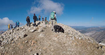 Once at the summit of Mount Democrat, we were greeted by roughly a dozen hikers and some strong winds. We found a spot to sit and gazed out over the vast view of rolling hills and mountains. The sunshine felt great between gusts of wind, but we didn’t stay long after we thought about the other peaks we wanted to climb. We took some pictures and videos before making our descent, then we headed down the same route we had come. Once back in the saddle, we started up Mount Cameron. 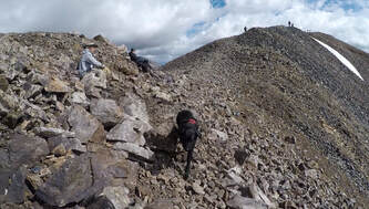 The climb toward Mount Cameron was very similar to the route up Mount Democrat. It was scattered with scree and made for rough climbing in places, but the trail was still well defined and easy to follow. The main difference between the two paths was what lay on the other side of the first hill. Democrats’s trail remained similar after reaching the false summit, while Cameron’s crested a ridge and opened up to a windy, open trail with 360 degree views of the mountains. It was unbelievable how much more windy the trail became from here. We were warned by every passing hiker that it didn’t get easier, and they were right. Each also said the peaks were worth it, and again, they were right. As windy as it was, this part of the trail was arguably some of our favorite. It felt unreal to be walking such a narrow path in the middle of a circle of mountains. Sadly, though, this trail led to a disappointing summit peak. Mount Cameron was nothing more than a big, open rock field. There was no special view or anything special about it, but that couldn’t stop us from enjoying a spectacular hike. We didn’t stop and kept pushing toward Mount Lincoln as the wind blew at our backs. 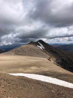 Our very favorite part of the trail was ascending Mount Lincoln. The views didn’t change much, because we only went about a half mile, and we were already on the knife’s edge, but we were approaching an actual pin-point peak, and it gave us the jitters. Of course, there were more than one of these peaks, because 14’ers almost always have false summits. Lincoln’s false summit has been our favorite. The trail wraps around the south edge of the peak before revealing Lincoln’s actual summit. We had been alone on the trail, for the most part, since we reached the saddle between Mount Cameron and Mount Lincoln. We had only seen a few others hiking out, and when we reached the summit, of Lincoln we had complete solitude. The views partnered with silence couldn’t have been more serene. 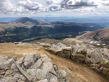 We found a bit of shelter from the wind in a rocky cove facing the south, where we sat and enjoyed lunch wraps, dehydrated apples, and beef jerky. It didn’t take long for company to arrive from a different side of the mountain than we had climbed. Once we had gotten chilly from the wind, we packed up our picnic and were taking a few pictures when we noticed unwelcoming clouds rolling in from the north. 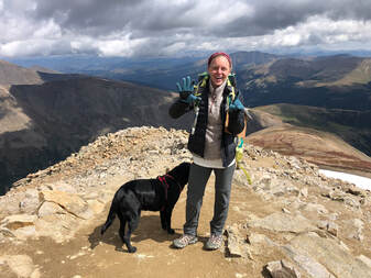 We started to discuss whether summiting Bross would be feasible, safe, and worth it. After some thought, we decided to opt out, because it was after noon and we had evening obligations in Denver. We took our summit pictures and began down the same trail we had come up. Going down is always easier, but we still had to make a minor climb back up to Mount Cameron. In only about 20 minutes, we went from one 14’er to another. 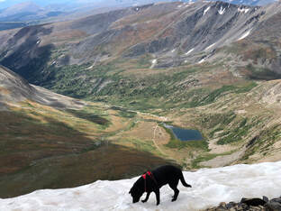 After we left Cameron’s peak, the wind died down and our descent was steady for the next two miles down. We stopped a whole bunch to take pictures of Maria playing in the snow and the stunning wildflowers that we had missed during our dark hike earlier in the morning. The flowers surrounded Kite Lake and the valley surrounding it. We were amazed by the colors we had missed while the sun was hiding. It took us two hours to go from the summit of Mount Lincoln to the trailhead, and sadly back to our car to make our return trip to Denver. 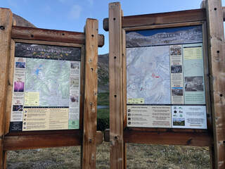 In just a little under seven hours we were able to summit three different 14,000 foot peaks. Even though we didn't finish the loop and make it to Mount Bross, we were still proud of the ground we had covered and the heights we had been able to climb. Maybe next time we will start with Bross and get to add it to our list, but until then we are leaving these peaks in our rearview mirror while we check out some of the other 50 or so that are out there. 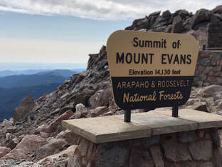 Mount Evans can be seen for miles along the Rocky Mountain foothills and is one of the most accessible 14’ers from Denver. This looming mass has had its sides eaten away by erosion leaving deep cirques—or valleys—that hold crystal lakes and creeks. It was the perfect candidate for Taylor and I’s third 14’er of the summer. The morning of August 24th, we drove I-70 West from Denver just like we had done the weekend before for Gray’s and Torrey’s Peaks. We picked up a friend of ours at 4:15am and arrived at the Evans/Summit Lake Trailhead just over an hour later. 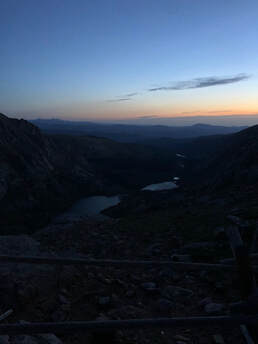 View of Chicago Lakes. View of Chicago Lakes. The mountains and surrounding valleys were cloaked in darkness as we began our ascent. It was nearly dark enough to make our black, mountain-climbing dog, Maria, invisible. The trail started as a relatively wide dirt path, crossed through a grass pasture, and gradually climbed up the northeast side of Summit Lake. Even in the last few minutes of darkness, the trail was easy for us to follow without headlamps or flashlights. Climbing around Summit Lake’s northern point was enough to make us winded only a mile into the trip. We stopped along the eastern ridgeline and looked down on the Chicago Lake Basin to watch the sun rise. We quickly realized it would be behind Mt. Warren for a while longer, so we decided to keep moving after having some water and snacks. 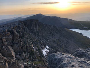 Through steep, stone littered fields, we continued our approached to Mount Spalding during the sunrise. This preliminary summit felt like a shrine. A natural slab encircled by rock walls and towers sits atop the 13,000 foot destination. A short break and a few photos of the early morning landscape later, we were descending into the short, flat saddle between Mt. Evans and Mt. Spalding. 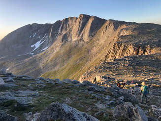 View of the saddle to Mount Evans from Mount Spalding. View of the saddle to Mount Evans from Mount Spalding. Upon ascent from the saddle, the Mount Evans trail continues to the Southern slopes of the mountain. Blustering winds welcomed us, and from here on out, the winds were constant, cutting, and cold. Large boulders did not provide cover from the wind, but climbing up them was entertaining enough to temporarily take our minds off it. For a little under two miles, we maneuvered through the boulder-crowded mountainside. We stopped, at times, for descending hikers attempting to scramble down as we scrambled up. Every time we stopped, the aforementioned winds motivated us to keep moving even. The terrain made it difficult to keep track of the trail, but the occasional cairn confirmed that we were on the right path. 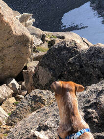 Just west of the actual summit, our group was fooled by a false summit. We realized it almost immediately but decided to stop for snacks when we noticed how fantastic the view was. As we appreciated our food and our view, a mother mountain goat investigated our presence. A curious kid followed closely as the mother kept watch of us and our dogs. As they turned to leave, we turned to make a short descent from the West Ridge and on to our final ascent. The majority of our last stretch to the top was on a well-defined path that connected to the Meyer-Womble Observatory’s parking lot. The much shorter trail, understandably, was more heavily trafficked. The short system of switchbacks induced excitement as we approached the payoff. 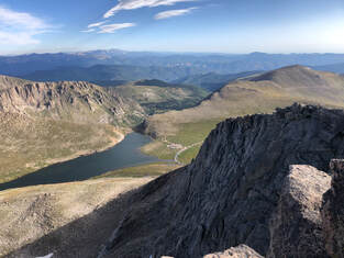 From Mount Evans's peak looking north. From Mount Evans's peak looking north. Mount Evans’s peak provides spectacular views from underfoot to the horizon. Broken boulders balance in seemingly impossible ways and large slabs of rock protrude into the air. Our best view of Summit Lake was from the peak, and Rocky Mountain National Park is even visible on a clear day. Most impressive, gazing westward grants a view of Mount Bierstadt and the vast mountain ranges beyond it. 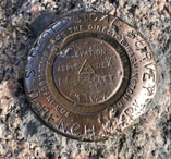 As part of the Rocky Mountains, the Mount Evans Batholith is a single rock formation estimated to span an area of more than 75 square miles. It is thought to have been created beneath the Earth’s surface and forced upward as it solidified. Bronze plaques driven into Mount Evans’s peak announce the highest point of the massive batholith. After taking in the views and exploring the peak, our group decided to seek shelter in the Crest House just below the summit and next to the parking lot. All that remains are stone walls and iron gates after a fire destroyed what used to be the world’s highest structure. More mountain goats meandered in and around the ruins as we learned about the site and prepared to hike down to our car. 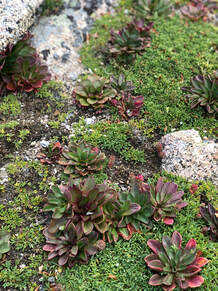 We decided to descend Mount Evans Road after learning that it is the highest paved road in North America. We eventually left it to hike north on the slopes of Mount Evans toward Bear Creek and our car. The gradual decline of the slopes was leisurely and filled with tiny flowers that dotted the vast field of grass and strewn stones. As we made our way around the mountainside we had the perfect opportunity to reflect on our morning journey. We arrived at our car at noon, and our hike of Mount Evans was officially over. Throughout the hike, the landscape was continuously stunning, but we were all glad to have witnessed the view from Mount Evans’s peak. Having a parking lot less than 200 yards from the summit undercut our sense of accomplishment at times, but we all agreed that we wouldn’t trade the full hike for any comfortable ride to the top.
|
Talkin' 'bout Tacos:
I'm Taylor, aka Tacos! I am sharing my journeys and experiences from across the world, hoping to inspire travel and adventure in all who read! Archives
July 2024
|
