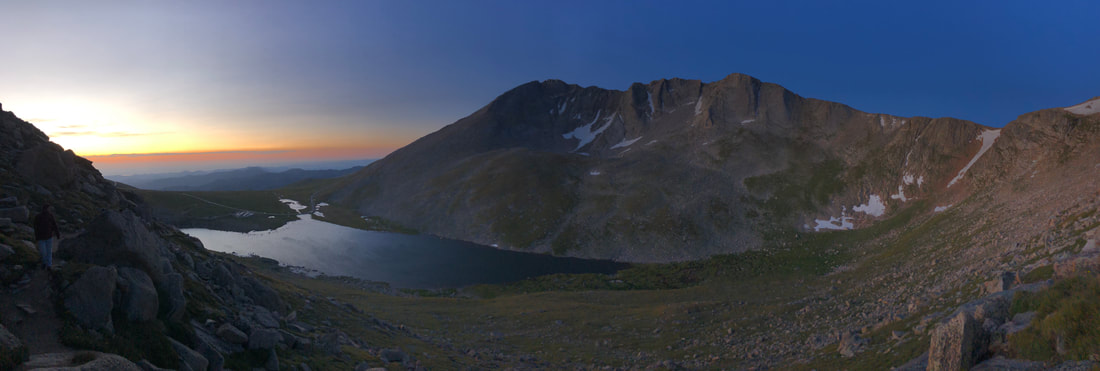
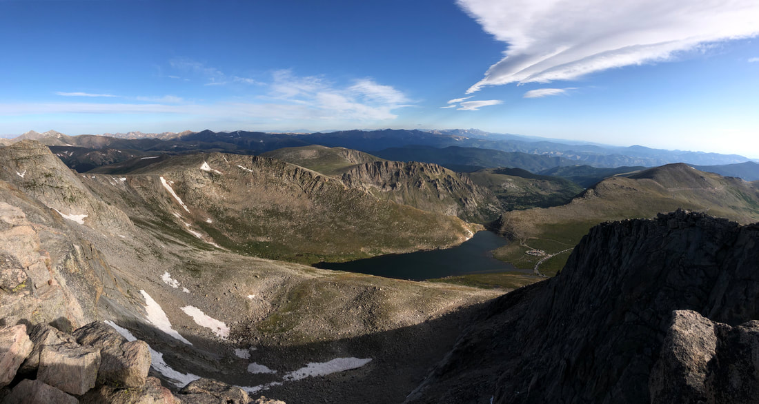
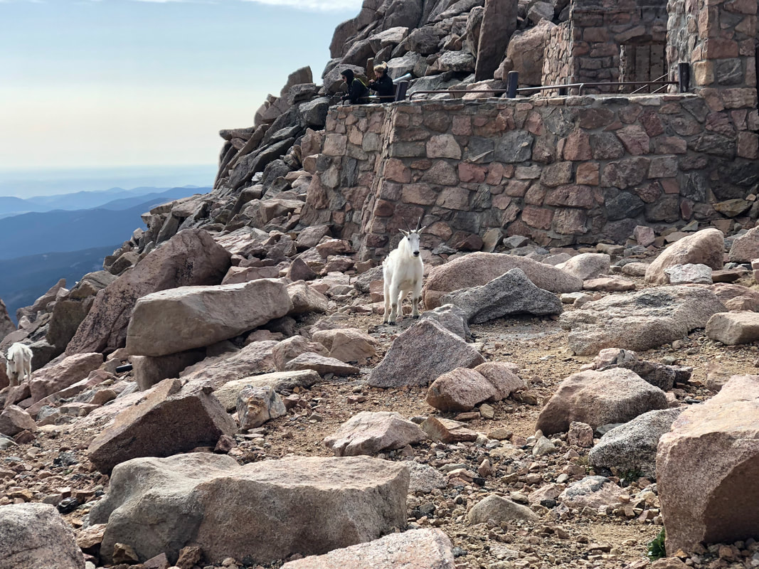
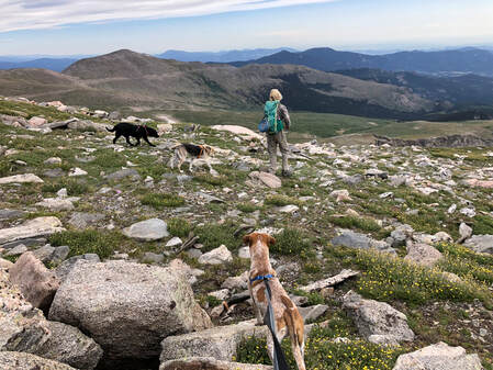
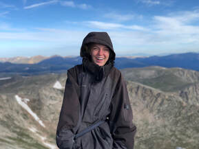
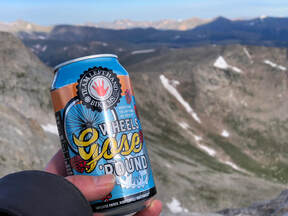
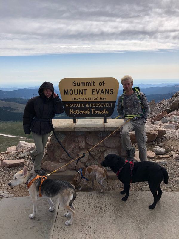
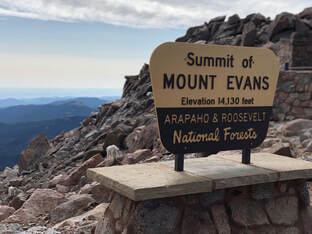
 Mount Evans can be seen for miles along the Rocky Mountain foothills and is one of the most accessible 14’ers from Denver. This looming mass has had its sides eaten away by erosion leaving deep cirques—or valleys—that hold crystal lakes and creeks. It was the perfect candidate for Taylor and I’s third 14’er of the summer. The morning of August 24th, we drove I-70 West from Denver just like we had done the weekend before for Gray’s and Torrey’s Peaks. We picked up a friend of ours at 4:15am and arrived at the Evans/Summit Lake Trailhead just over an hour later. 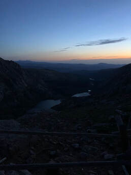 View of Chicago Lakes. View of Chicago Lakes. The mountains and surrounding valleys were cloaked in darkness as we began our ascent. It was nearly dark enough to make our black, mountain-climbing dog, Maria, invisible. The trail started as a relatively wide dirt path, crossed through a grass pasture, and gradually climbed up the northeast side of Summit Lake. Even in the last few minutes of darkness, the trail was easy for us to follow without headlamps or flashlights. Climbing around Summit Lake’s northern point was enough to make us winded only a mile into the trip. We stopped along the eastern ridgeline and looked down on the Chicago Lake Basin to watch the sun rise. We quickly realized it would be behind Mt. Warren for a while longer, so we decided to keep moving after having some water and snacks. 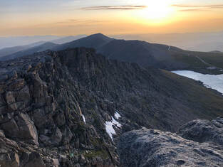 Through steep, stone littered fields, we continued our approached to Mount Spalding during the sunrise. This preliminary summit felt like a shrine. A natural slab encircled by rock walls and towers sits atop the 13,000 foot destination. A short break and a few photos of the early morning landscape later, we were descending into the short, flat saddle between Mt. Evans and Mt. Spalding. 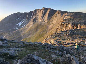 View of the saddle to Mount Evans from Mount Spalding. View of the saddle to Mount Evans from Mount Spalding. Upon ascent from the saddle, the Mount Evans trail continues to the Southern slopes of the mountain. Blustering winds welcomed us, and from here on out, the winds were constant, cutting, and cold. Large boulders did not provide cover from the wind, but climbing up them was entertaining enough to temporarily take our minds off it. For a little under two miles, we maneuvered through the boulder-crowded mountainside. We stopped, at times, for descending hikers attempting to scramble down as we scrambled up. Every time we stopped, the aforementioned winds motivated us to keep moving even. The terrain made it difficult to keep track of the trail, but the occasional cairn confirmed that we were on the right path. 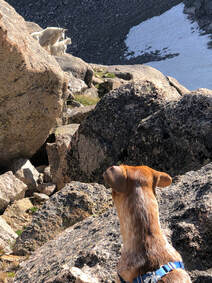 Just west of the actual summit, our group was fooled by a false summit. We realized it almost immediately but decided to stop for snacks when we noticed how fantastic the view was. As we appreciated our food and our view, a mother mountain goat investigated our presence. A curious kid followed closely as the mother kept watch of us and our dogs. As they turned to leave, we turned to make a short descent from the West Ridge and on to our final ascent. The majority of our last stretch to the top was on a well-defined path that connected to the Meyer-Womble Observatory’s parking lot. The much shorter trail, understandably, was more heavily trafficked. The short system of switchbacks induced excitement as we approached the payoff. 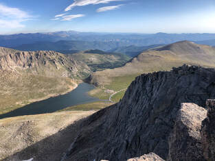 From Mount Evans's peak looking north. From Mount Evans's peak looking north. Mount Evans’s peak provides spectacular views from underfoot to the horizon. Broken boulders balance in seemingly impossible ways and large slabs of rock protrude into the air. Our best view of Summit Lake was from the peak, and Rocky Mountain National Park is even visible on a clear day. Most impressive, gazing westward grants a view of Mount Bierstadt and the vast mountain ranges beyond it. 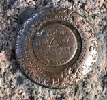 As part of the Rocky Mountains, the Mount Evans Batholith is a single rock formation estimated to span an area of more than 75 square miles. It is thought to have been created beneath the Earth’s surface and forced upward as it solidified. Bronze plaques driven into Mount Evans’s peak announce the highest point of the massive batholith. After taking in the views and exploring the peak, our group decided to seek shelter in the Crest House just below the summit and next to the parking lot. All that remains are stone walls and iron gates after a fire destroyed what used to be the world’s highest structure. More mountain goats meandered in and around the ruins as we learned about the site and prepared to hike down to our car. 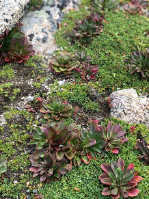 We decided to descend Mount Evans Road after learning that it is the highest paved road in North America. We eventually left it to hike north on the slopes of Mount Evans toward Bear Creek and our car. The gradual decline of the slopes was leisurely and filled with tiny flowers that dotted the vast field of grass and strewn stones. As we made our way around the mountainside we had the perfect opportunity to reflect on our morning journey. We arrived at our car at noon, and our hike of Mount Evans was officially over. Throughout the hike, the landscape was continuously stunning, but we were all glad to have witnessed the view from Mount Evans’s peak. Having a parking lot less than 200 yards from the summit undercut our sense of accomplishment at times, but we all agreed that we wouldn’t trade the full hike for any comfortable ride to the top.
0 Comments
Leave a Reply. |
Talkin' 'bout Tacos:
I'm Taylor, aka Tacos! I am sharing my journeys and experiences from across the world, hoping to inspire travel and adventure in all who read! Archives
July 2024
|
